115 Results
Form:
books
books
Actions:
Price:
$49.99
(available to order)
Summary:
Drawing is to architects what writing is to authors. Focusing on the creative and inventive significance of drawing for architecture, this book is a paean to the graphic by one of its greatest proponents, Sir Peter Cook. Thematically organised by chapter, Cook joyfully talks us trough drawing as a motive, strategy, vision, image, composition, expression, technique,(...)
Title:
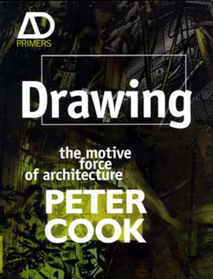
Drawing: the motive force of architecture
Actions:
Price:
$49.99
(available to order)
Summary:
Drawing is to architects what writing is to authors. Focusing on the creative and inventive significance of drawing for architecture, this book is a paean to the graphic by one of its greatest proponents, Sir Peter Cook. Thematically organised by chapter, Cook joyfully talks us trough drawing as a motive, strategy, vision, image, composition, expression, technique, surface and fantasy. He provides us with amusing perceptive commentary at every turn, drawing our attention to some of the greatest and most intriguing drawings, ranging from Heath-Robinson, Hugh Ferris and Arthur Beresford Pite to Frank Gehry, Zaha Hadid, Ron Herron, Coop Himmelb(l)au, Bernard Tschumi and Lebbeus Woods.
Form:
books
books
Publication:
May 2008, West Sussex
May 2008, West Sussex
Subject:
Architectural Drawing
Architectural Drawing
Form:
books
books
Actions:
Price:
$25.25
(available to order)
Summary:
This book chronicles the interplay between map technology and the evolution of society. Bringing together maps from antiquity to the present, the author describes the innovations in cartography that have influenced the course of history and, in turn, historical trends that have spurred the development of new kinds of maps.
Title:
Maps and civilization : cartography in culture and society
Actions:
Price:
$25.25
(available to order)
Summary:
This book chronicles the interplay between map technology and the evolution of society. Bringing together maps from antiquity to the present, the author describes the innovations in cartography that have influenced the course of history and, in turn, historical trends that have spurred the development of new kinds of maps.
Form:
books
books
Publication:
February 1996, Chicago
February 1996, Chicago
Subject:
Architectural Drawing
Architectural Drawing
Form:
books
books
Actions:
Price:
$34.95
(available to order)
Summary:
For decades, Philip Ashforth Coppola has meticulously documented the New York City subway in a series of extraordinary drawings, detailing the terracotta mosaics, faience, and tile patterns that millions of riders pass by every day. Coppola's drawings are what "Hyperallergic" calls "the most encyclopedic history of the art and architecture of the New York City subway(...)
Title:
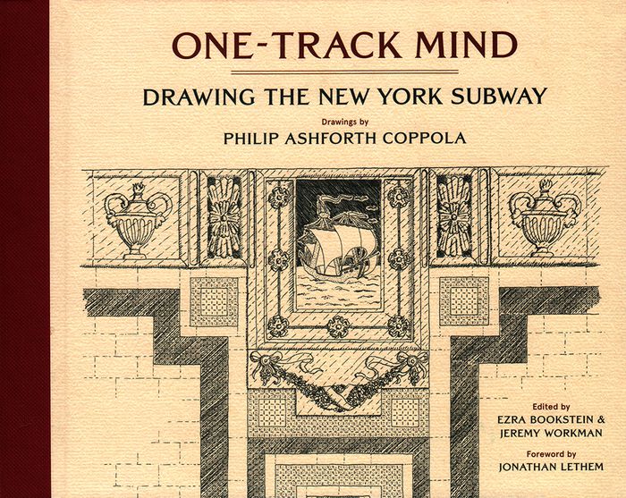
One-track mind: drawing the New York subway
Actions:
Price:
$34.95
(available to order)
Summary:
For decades, Philip Ashforth Coppola has meticulously documented the New York City subway in a series of extraordinary drawings, detailing the terracotta mosaics, faience, and tile patterns that millions of riders pass by every day. Coppola's drawings are what "Hyperallergic" calls "the most encyclopedic history of the art and architecture of the New York City subway system." Along with Coppola's intricate ink drawings are anecdotes he assembled through painstaking research involving hundreds of hours poring through microfilms to discover the names behind the artisanship of what is rightly called New York's largest public art work---its legendary subway system. Philip Ashforth Coppola's drawings have been featured in the New York Times, "Hyperallergic", and on the BBC and are included in the New York Transit Museum's permanent collection. Foreword by Jonathan Lethem.
Form:
books
books
Publication:
January 2018
January 2018
Subject:
Architectural Drawing
Architectural Drawing
Form:
books
books
Actions:
Price:
$62.95
(available to order)
Summary:
''Regards dessinés sur le monde'' est plus qu'un simple recueil de dessins, c'est un voyage. Bernard Gachet, architecte globe-trotter, nous emmène sur les traces des civilisations passées aux travers des vestiges rencontrés de par le monde au cours de ses différents voyages réalisés depuis 1976. Bernard Gachet est un voyageur passionné, il parcourt le monde à la manière(...)
Title:
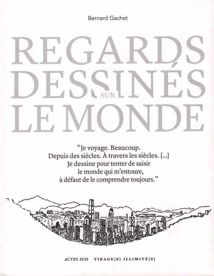
Regards dessinés sur le monde
Actions:
Price:
$62.95
(available to order)
Summary:
''Regards dessinés sur le monde'' est plus qu'un simple recueil de dessins, c'est un voyage. Bernard Gachet, architecte globe-trotter, nous emmène sur les traces des civilisations passées aux travers des vestiges rencontrés de par le monde au cours de ses différents voyages réalisés depuis 1976. Bernard Gachet est un voyageur passionné, il parcourt le monde à la manière des "amateurs" du XVIIIe siècle. Carnet et crayon à la main, il dessine et choisit pour nous ce que privilégie son oeil d'architecte : la diversité et la beauté des traces de l'histoire et des cultures. Comme pour mieux comprendre le monde. Le dessin se fait ici éloge de la lenteur et du passé, en plus d'être un fascinant moyen de connaissance et de découverte.
Form:
books
books
Publication:
April 2018
April 2018
Subject:
Architectural Drawing
Architectural Drawing
Form:
books
books
Price:
$42.95
(available to order)
Summary:
How do you find out about historic buildings and places? A good place to start is with visual evidence. Original drawings, topographical views, surveys, maps, photographs, and other historic visual sources help to support an understanding of how a building or location appears the way it does today. Interpreting such material requires knowledge of historic design and(...)
Publication:
April 2019
April 2019
Title:
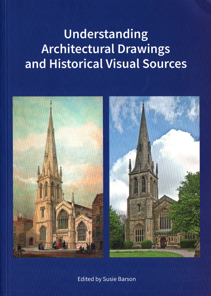
Understanding architectural drawings and historical visual sources
Actions:
Price:
$42.95
(available to order)
Summary:
How do you find out about historic buildings and places? A good place to start is with visual evidence. Original drawings, topographical views, surveys, maps, photographs, and other historic visual sources help to support an understanding of how a building or location appears the way it does today. Interpreting such material requires knowledge of historic design and mapping conventions, the place of the drawings in the construction process, the methods and techniques used to create engraved or topographical views, and the equipment and processes used in photography at particular times. The authors of this book explain the provenance, purpose, and terminology of a range of visual sources from the sixteenth to the twentieth century, and explore how they can help—or sometimes hinder—an understanding of the original form and subsequent changes to a building, site, or landscape.
Form:
books
books
Publication:
April 2019
April 2019
Form:
books
books
Title:
Drawing architecture
Drawing architecture
Actions:
Price:
$105.00
(available to order)
Summary:
Throughout history, architects have relied on drawings both to develop their ideas and communicate their vision to the world. This collection brings together more than 250 of the finest architectural drawings of all time, revealing each architect's process and personality as never before. Creatively paired to stimulate the imagination, the illustrations span the centuries(...)
Title:
Drawing architecture
Actions:
Price:
$105.00
(available to order)
Summary:
Throughout history, architects have relied on drawings both to develop their ideas and communicate their vision to the world. This collection brings together more than 250 of the finest architectural drawings of all time, revealing each architect's process and personality as never before. Creatively paired to stimulate the imagination, the illustrations span the centuries and range from sketches to renderings, simple to intricate, built projects to a utopian ideal, famous to rarely seen - a true celebration of the art of architecture. Visually paired images draw connections and contrasts between architecture from different times, styles, and places. From Michelangelo to Frank Gehry, Louise Bourgeois to Tadao Ando, B.V. Doshi to Zaha Hadid, and Grafton to Luis Barragán, the book shows the incredible variety and beauty of architectural drawings.
Form:
books
books
Publication:
October 2018
October 2018
Subject:
Architectural Drawing
Architectural Drawing
Form:
books
books
Actions:
Price:
$49.95
(available to order)
Summary:
Jean Jacques Lequeu (1757-1826) est davantage connu comme 'architecte visionnaire' et 'révolutionnaire' que comme dessinateur en architecture issu de l'école gratuite de Rouen. Philippe Duboÿ lui a consacré sa thèse de doctorat, suivie d'un livre publié à Londres en 1986, puis aux ÉtatsUnis, et enfin en France, apportant ainsi toute la connaissance actuelle de cet(...)
Title:
Jean-Jacques Lequeu, dessinateur en architecture
Actions:
Price:
$49.95
(available to order)
Summary:
Jean Jacques Lequeu (1757-1826) est davantage connu comme 'architecte visionnaire' et 'révolutionnaire' que comme dessinateur en architecture issu de l'école gratuite de Rouen. Philippe Duboÿ lui a consacré sa thèse de doctorat, suivie d'un livre publié à Londres en 1986, puis aux ÉtatsUnis, et enfin en France, apportant ainsi toute la connaissance actuelle de cet extraordinaire individu. C'est ce texte amendé qui compose cet ouvrage, augmenté de plusieurs manuscrits de ou sur Lequeu.
Form:
books
books
Publication:
September 2018
September 2018
Subject:
Architectural Drawing
Architectural Drawing
Form:
books
books
Actions:
Price:
$70.00
(available to order)
Summary:
Part of the generation of architects who were trained to draw both by hand and with digital tools, Nalina Moses recently returned to hand drawing. Finding it to be direct, pleasurable, and intuitive, she wondered whether other architects felt the same way. "Single-Handedly" is the result of this inquiry. A collection of 220 hand drawings by more than forty emerging(...)
Title:
Single-handedly: contemporary architects draw by hand
Actions:
Price:
$70.00
(available to order)
Summary:
Part of the generation of architects who were trained to draw both by hand and with digital tools, Nalina Moses recently returned to hand drawing. Finding it to be direct, pleasurable, and intuitive, she wondered whether other architects felt the same way. "Single-Handedly" is the result of this inquiry. A collection of 220 hand drawings by more than forty emerging architects and well-known practitioners from around the world, this book explores the reasons they draw by hand and gives testimony to the continued vitality of hand drawing in architecture. The powerful yet intimate drawings carry larger propositions about materials, space, and construction, and each one stands on its own as a work of art.
Form:
books
books
Publication:
May 2019
May 2019
Subject:
Architectural Drawing
Architectural Drawing
Form:
books
books
Price:
$72.00
(available to order)
Summary:
The spread of Renaissance culture in England coincided with the birth of the profession of architecture, whose practitioners soon became superior to simple builders in social standing and perceived intellectual prowess. This book, which focuses in particular on the scientist, mathematician, and architect Sir Christopher Wren, explores the extent to which this new(...)
Title:
Compass & rule : architecture as mathematical practice in England
Actions:
Price:
$72.00
(available to order)
Summary:
The spread of Renaissance culture in England coincided with the birth of the profession of architecture, whose practitioners soon became superior to simple builders in social standing and perceived intellectual prowess. This book, which focuses in particular on the scientist, mathematician, and architect Sir Christopher Wren, explores the extent to which this new professional identity was based on expertise in the mathematical arts and sciences. Featuring drawings, instruments, paintings, and other examples of the material culture of English architecture, the book discusses the role of mathematics in architectural design and building technology. It begins with architectural drawing in the 16th century, moves to large-scale technical drawing under Henry VIII, considers Inigo Jones and his royal buildings and Christopher Wren and the dome of St. Paul’s, and concludes with the architectural education of George III. Interweaving text and visual image, the book investigates the boundaries between art and science in architecture—the most artistic of the sciences and the most scientific of the arts.
Form:
books
books
Publication:
May 2009
May 2009
Subject:
Architectural Drawing
Architectural Drawing
Form:
books
books
Price:
$120.00
(available to order)
Summary:
Whether from military necessity or unbridled curiosity, mapmakers since early antiquity have attempted to represent the configuration of the land about them. The Greeks paid homage to the landscape and struck its image on their coins. Medieval scholars viewed the (...)
Subject:
Architectural Drawing
Architectural Drawing
Publication:
October 1999, New York
October 1999, New York
Title:
Infinite perspectives : two thousand years of three-dimensional mapmaking
Actions:
Price:
$120.00
(available to order)
Summary:
Whether from military necessity or unbridled curiosity, mapmakers since early antiquity have attempted to represent the configuration of the land about them. The Greeks paid homage to the landscape and struck its image on their coins. Medieval scholars viewed the highest elevations as a boundary between the physical and the spiritual; the images they created of their sacred shrines and historic sites were drawn atop simple caricatures of mountains. Leonardo da Vinci's maps of Tuscany and other more realistic representations of landforms appeared during the Renaissance, thanks to a wealth of scientific study and new artistic methods. In the modern era, new techniques were invented as attempts to portray the three-dimensional world on a flat surface became more sophisticated. Hachuring, a system that involves shading with fine parallel or crossed lines, was developed with the use of copper plates; contour lines slowly replaced this technique in the nineteenth century. Lithography allowed for the introduction of color to the printing process, and multi-color tints were used to impart a sense of elevation. Aerial and satellite photography and the dawn of the digital era have yielded maps of unprecedented realism; today's computer technology allows planetary surfaces to be portrayed in three dimensions with a precision unimaginable to previous generations of mapmakers. "Infinite Perspectives" traces the artistic and scientific evolution of topographic representation from its origins to the present. Over 80 colour plates of some of the most significant maps ever made detail important advances in the portrayal of three dimensions in map form. The final section of the book contains 20 plates presenting a revolutionary cartographic technique that allows viewers wearing ordinary 3D glasses to view planetary surfaces without distortion. This invention, developed by the authors with Dr. Russell Ambroziak and named Infinite Perspective Projection, is currently in use by NASA and the Department of Defense. Included are maps of Mars, the Grand Canyon, and Mount McKinley, as well as one large fold-out map, suitable for framing; two pairs of the necessary 3D viewing glasses are also provided.
Form:
books
books
Publication:
October 1999, New York
October 1999, New York
Subject:
Architectural Drawing
Architectural Drawing