Atlas inutile de Paris
$30.95
(available to order)
Summary:
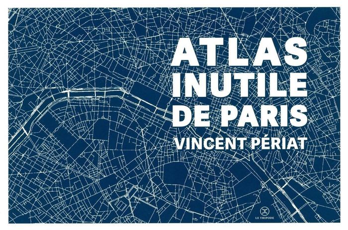
À l'origine, il y a Paris. Et un flâneur infatigable qui explore ses deux rives depuis des années. De cette expérience amoureuse, il a distillé au fil des jours 100 cartes incongrues. 100 cartes pour dire tout ce qu'on ne sait pas. 100 cartes pour rêver tout ce qu'on ne voit pas. À l'origine, il y a Paris. Et un flâneur infatigable qui explore ses deux rives depuis des(...)
Atlas inutile de Paris
Actions:
Price:
$30.95
(available to order)
Summary:
À l'origine, il y a Paris. Et un flâneur infatigable qui explore ses deux rives depuis des années. De cette expérience amoureuse, il a distillé au fil des jours 100 cartes incongrues. 100 cartes pour dire tout ce qu'on ne sait pas. 100 cartes pour rêver tout ce qu'on ne voit pas. À l'origine, il y a Paris. Et un flâneur infatigable qui explore ses deux rives depuis des années. De cette expérience amoureuse, il a distillé au fil des jours 100 cartes incongrues. Sur chacune se dessine une vision : on y découvre ainsi toutes les rues depuis lesquelles on peut apercevoir la Tour Eiffel, celles où les barricades avaient été installées lors de la Commune de 1871, les quartiers définis selon la provenance de l'eau dans votre robinet, les îles disparues que l'on trouvait autrefois sur la Seine, le trajet du premier vol habité (en montgolfière)... Cet "Atlas inutile" est une invitation graphique à un voyage poétique, à la rencontre de choses oubliées, et d'autres qui sont sous notre nez sans qu'on y prête attention. Les cartes se succèdent et s'accumulent dans un plaisir du détail, de l'anecdote et de la contemplation, enfin dans une balade à travers l'inutile, à la (re)découverte d'une ville cent fois immense.
Architectural Plans and Cartography
$59.99
(available to order)
Summary:
Featuring 40 essays by U.S. and European historians, designers, cultural critics, geographers and social scientists, illustrated with over 250 color images in extensive visual "gazetteers" — including specially-commissioned portfolios by artists and designers — "Else/where mapping" investigates : how new technologies of navigation and location are emerging to chart(...)
Architectural Plans and Cartography
October 2005, Minneapolis
Else/where : mapping new cartographies of networks and territories
Actions:
Price:
$59.99
(available to order)
Summary:
Featuring 40 essays by U.S. and European historians, designers, cultural critics, geographers and social scientists, illustrated with over 250 color images in extensive visual "gazetteers" — including specially-commissioned portfolios by artists and designers — "Else/where mapping" investigates : how new technologies of navigation and location are emerging to chart "virtual" terrain such as social networks and online conversations; how these new mapping strategies borrow and reinvent metaphors adapted from the cartography of physical terrain, considered at various scales — urban, regional, continental, global ; how new modes of representation of spatial data are evolving to explore the potential for collective "bottom-up" (rather than "top-down") mapping ; how cities, communities and social networks are being re-envisioned, as artists and designers use technologies such as GPS, GIS and digital interface design to devise alternative mappings of social and spatial relationships. Authors : Janet Abrams, Ole Bouman, Andrea Codrington, Denis Cosgrove, Steve Dietz, Paul Elliman, Yuri Engelhardt, Peter Hall, Brian Holmes, J.J. King, Cathy Lang Ho, Andrea Moed, David Pescovitz, Rebecca Ross, Ben Schouten, Alex Terzich, Alice Twemlow, Dirk van Weelden, Tom Vanderbilt, Peter Walsh and Stephen Zacks. Featured artists and designers included : Antenna Design New York, Julian Bleecker, Bureau d'Etudes, Sulki Choi, Layla Curtis, Judith Donath, Entropy8Zuper!, Michael Frumin, Ben Fry, De Geuzen, govcom.org, Marti Guixe, Mark Hansen, Robert Horn, Natalie Jeremijenko, Lisa Jevbratt, Nina Katchadourian, Valdis Krebs, Laura Kurgan, Mark Lombardi, The London Particular, Lumeta.org, Barrett Lyon, Brian McGrath, Julie Mehretu, Paul Mijksenaar, Sigi Moeslinger, MUST Architects, MVRDV, Josh On, W. Bradford Paley, Scott Paterson, Esther Polak, Richard Rogers, Ben Rubin, Warren Sack, Mike Silver, Marco Susani, Terraswarm, UN Studio, Urban Tapestries, Waag Society for Old and New Media, Ronald Wall, Kimberlee Whaley, Jeremy Wood and Marina Zurkow. Book design : Deborah Littlejohn.
Architectural Plans and Cartography
$98.00
(available to order)
Summary:
A multitude of port cities dot Europe’s coastline, each with its own history and relationship to sea transportation and development. In the era of climate change, these cities can offer paradigms and guidance for sustainable development. Taking a comprehensive, map-based approach, "Port city atlas" offers visualizations of 100 port city territories located on four seas(...)
Architectural Plans and Cartography
October 2023
Port city atlas: Mapping European port city territories: From understanding to design
Actions:
Price:
$98.00
(available to order)
Summary:
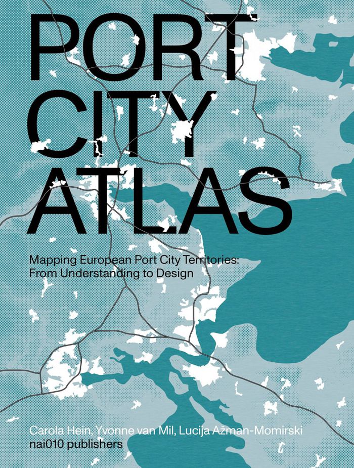
A multitude of port cities dot Europe’s coastline, each with its own history and relationship to sea transportation and development. In the era of climate change, these cities can offer paradigms and guidance for sustainable development. Taking a comprehensive, map-based approach, "Port city atlas" offers visualizations of 100 port city territories located on four seas and connected through shared waters—from Amsterdam, Antwerp, Barcelona, Bilbao, Bordeaux, Bremen, Calais, Cork, Dover, Dublin, Felixstowe, Fredericia, Ghent, Hamburg, Helsinki, Kiel, Københavns and La Rochelle to Limerick, Liverpool, London, Lübeck, Malmø, Palermo, Ravenna, Riga, Rønne, Rotterdam, Sköldvik, Stockholm, Tallinn, Venice, Zeebrugge and countless others. Conceived as a reference work, "Port city atlas" provides a foundation for comparative analysis beyond the case-study approach, offering a uniquely sea-oriented take on the understanding and urban design of Europe.
Architectural Plans and Cartography
$59.95
(available to order)
Summary:
Et si on reprenait l'écrin des cartes d'Antan pour représenter notre monde actuel ? . C'était la carte phare des anciens atlas, mais les ouvrages modernes l'ont délaissée. Pourtant, la mappemonde recèle bien des atouts. Xemartin Laborde ressuscite cette carte mythique dans une approche innovante, où l'esthétisme suranné se marie à la représentation des enjeux(...)
Architectural Plans and Cartography
January 2024
Mappemondes : Un voyage dans le temps pour raconter le monde contemporain
Actions:
Price:
$59.95
(available to order)
Summary:
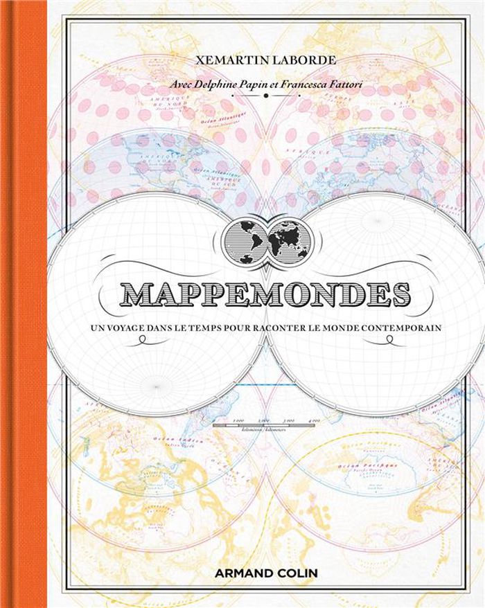
Et si on reprenait l'écrin des cartes d'Antan pour représenter notre monde actuel ? . C'était la carte phare des anciens atlas, mais les ouvrages modernes l'ont délaissée. Pourtant, la mappemonde recèle bien des atouts. Xemartin Laborde ressuscite cette carte mythique dans une approche innovante, où l'esthétisme suranné se marie à la représentation des enjeux contemporains. Introduites par des textes de Delphine Papin et de Francesca Fattori, les mappemondes de cet ouvrage sont autant de formidables outils pour contempler la Terre d'un point de vue global, que des invitations à se plonger dans ses détails les plus étonnants. Des vents et marées jusqu'aux frontières artificielles que les humains érigent, en passant par la répartition des forêts, les séismes, la montée des eaux et le réchauffement climatique, chacune des cartes de cet atlas vous invite à voir notre planète sous un angle différent.
Architectural Plans and Cartography
$71.95
(available to order)
Summary:
A map is a visual story of the world. It feeds our imagination and shapes our view of the world. A standard atlas, however, predominantly tells only one story: that of the nation-state. It depicts a world in which people are uniformly packed into national containers, enclosed by borders, and in which migration is often represented as threatening invasion arrows. "Free the(...)
Architectural Plans and Cartography
March 2024
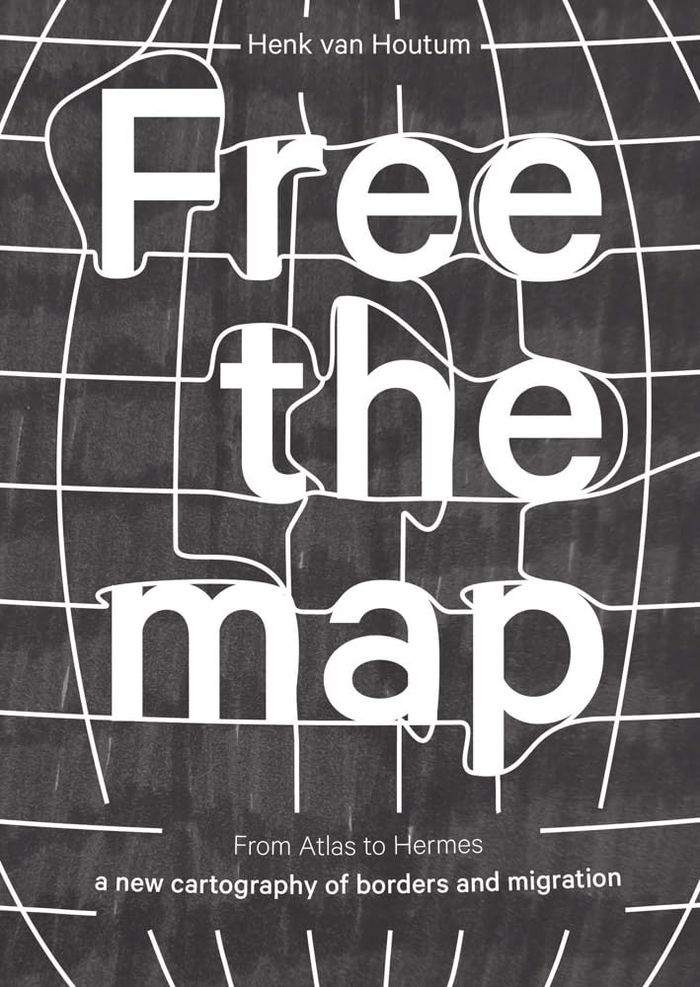
Free the map: From Atlas to Hermes, a new cartography of borders and migration
Actions:
Price:
$71.95
(available to order)
Summary:
A map is a visual story of the world. It feeds our imagination and shapes our view of the world. A standard atlas, however, predominantly tells only one story: that of the nation-state. It depicts a world in which people are uniformly packed into national containers, enclosed by borders, and in which migration is often represented as threatening invasion arrows. "Free the map" goes beyond this narrow, state-centric cartography. The book argues for a new cartographic story along the lines of Hermes, the grandson of Atlas and the god of mobility and human connections. To this end, it discusses several visually compelling, alternative cartographic representations of borders and migration. "Free the map" ends with a call to action; artists and cartographers offer exciting ready-to-use challenges for educational and public resources.
Architectural Plans and Cartography
Modern Oxford map
$17.00
(available in store)
Summary:
Our ''Modern Oxford Map'' curates the city’s finest Modernist and Brutalist architecture through a selection of 50 buildings, with an introduction and descriptions by architectural historian Robin Wilson and original photography by Nigel Green. Amidst Oxford’s celebrated historic architecture, you’ll be surprised by the diversity of its Modernist and Brutalist buildings,(...)
Architectural Plans and Cartography
September 2024
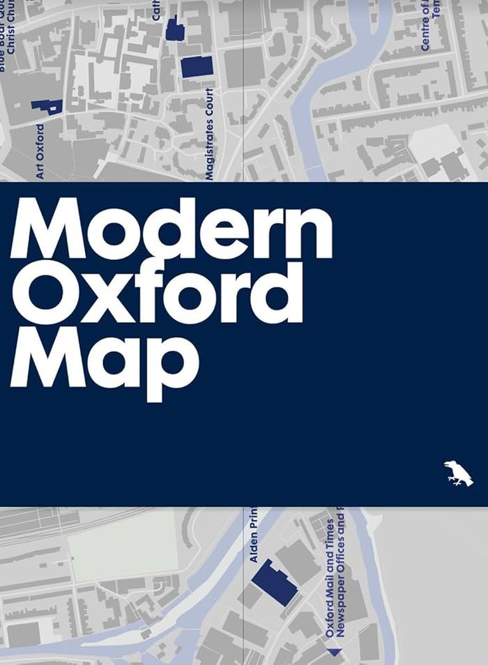
Modern Oxford map
Actions:
Price:
$17.00
(available in store)
Summary:
Our ''Modern Oxford Map'' curates the city’s finest Modernist and Brutalist architecture through a selection of 50 buildings, with an introduction and descriptions by architectural historian Robin Wilson and original photography by Nigel Green. Amidst Oxford’s celebrated historic architecture, you’ll be surprised by the diversity of its Modernist and Brutalist buildings, which range from architectures of radical new form-making and geometric composition in concrete, innovative mixed-use developments, as well as carefully crafted, contextual interventions into the existing historic fabric.
Architectural Plans and Cartography
Art Deco Paris map
$18.95
(available to order)
Summary:
Découvrez des exemples saisissants d'architecture et de décoration Art déco dans tout Paris avec ce guide bilingue. Il comprend une carte, des détails sur 50 bâtiments, une introduction de Robin Wilson et des photographies inédites de Nigel Green. / Discover striking examples of Art Deco architecture and decoration throughout Paris with this bilingual guide; featuring(...)
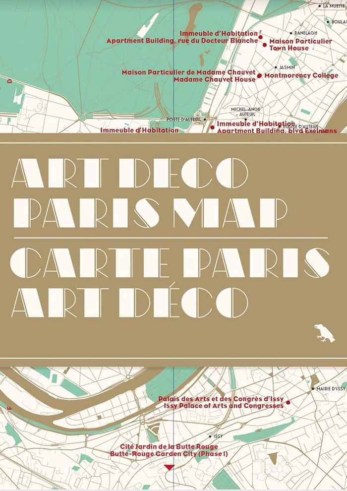
Art Deco Paris map
Actions:
Price:
$18.95
(available to order)
Summary:
Découvrez des exemples saisissants d'architecture et de décoration Art déco dans tout Paris avec ce guide bilingue. Il comprend une carte, des détails sur 50 bâtiments, une introduction de Robin Wilson et des photographies inédites de Nigel Green. / Discover striking examples of Art Deco architecture and decoration throughout Paris with this bilingual guide; featuring a map, details of 50 buildings, an introduction by Robin Wilson and original photography by Nigel Green. ''Art Deco Paris Map'' is Blue Crow Media’s latest Paris guide after maps dedicated to Brutalism, Modernism, the Métro and the city’s great trees.
Architectural Plans and Cartography
$18.95
(available in store)
Summary:
Jody Burton and Avril Nanton identify and reveal London’s most significant Black historical landmarks. Featuring fifty locations, descriptions, original photography, and an introduction to the history and impact of Black people in London, from the Roman era to Black Lives Matter, "Black History London Map" provides unique insight into an essential component of historical(...)
Architectural Plans and Cartography
August 2025
Black history New York map: Guide to Black historical landmarks in New York City
Actions:
Price:
$18.95
(available in store)
Summary:
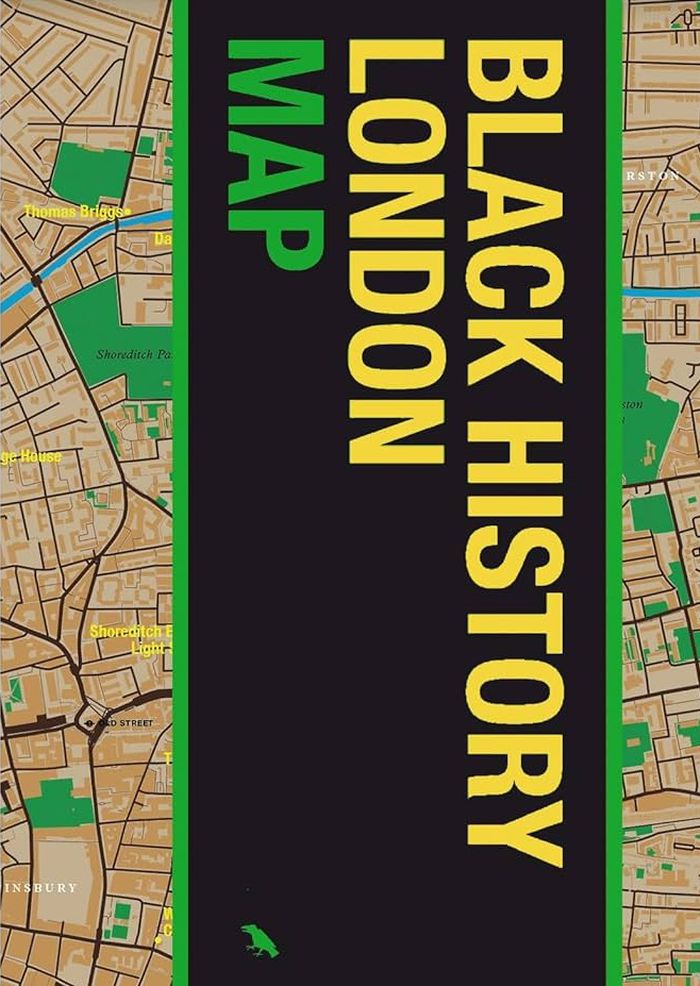
Jody Burton and Avril Nanton identify and reveal London’s most significant Black historical landmarks. Featuring fifty locations, descriptions, original photography, and an introduction to the history and impact of Black people in London, from the Roman era to Black Lives Matter, "Black History London Map" provides unique insight into an essential component of historical and modern London. Featuring original photography by Jake Green.
Architectural Plans and Cartography
$18.95
(available in store)
Summary:
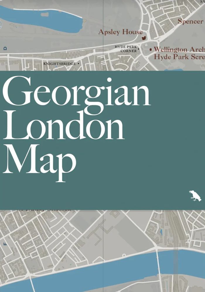
Celebrate and explore one of London’s iconic architectural eras with "Georgian London Map." Written by scholar and author Owen Hopkins, with original photography by Will Scott, the map identifies a broad variety of 18th and early 19th century buildings and squares embodying Georgian architecture. "Georgian London Map" is our latest title focused on London architecture and(...)
Georgian London Map: Guide to London's Georgian era architecture
Actions:
Price:
$18.95
(available in store)
Summary:
Celebrate and explore one of London’s iconic architectural eras with "Georgian London Map." Written by scholar and author Owen Hopkins, with original photography by Will Scott, the map identifies a broad variety of 18th and early 19th century buildings and squares embodying Georgian architecture. "Georgian London Map" is our latest title focused on London architecture and design, following maps dedicated to the works of Wren and Hawksmoor, and a series of 20th and 21st century guides.
Architectural Plans and Cartography
$18.95
(available in store)
Summary:
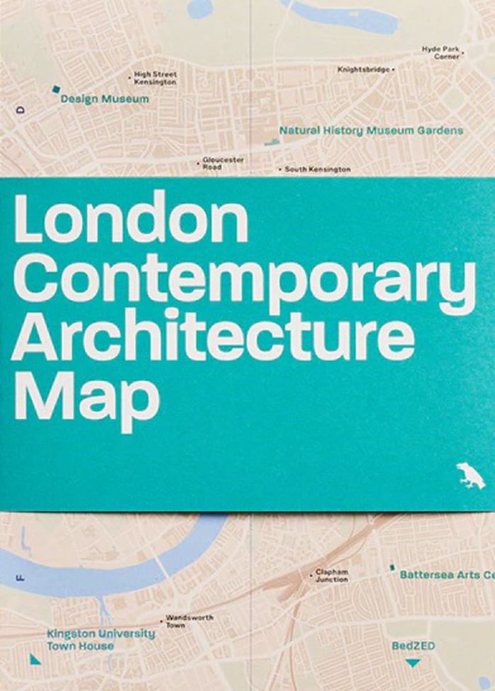
Explore highlights of contemporary architecture built across London from 2000 to 2025 with this two-sided map by Olly Wainwright. The map features 50 projects, from museums and major redevelopments to social housing and urban gardens, alongside an introduction, building details and original photography.
London contemporary architecture Map
Actions:
Price:
$18.95
(available in store)
Summary:
Explore highlights of contemporary architecture built across London from 2000 to 2025 with this two-sided map by Olly Wainwright. The map features 50 projects, from museums and major redevelopments to social housing and urban gardens, alongside an introduction, building details and original photography.
Architectural Plans and Cartography
