109 Results
Form:
books
books
Title:
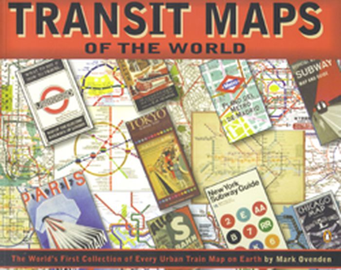
Transit maps of the world
Transit maps of the world
Actions:
Price:
$27.50
(available to order)
Summary:
Transit Maps of the World is the first, and only, comprehensive collection of every rapid-transit system map on earth. Using glorious graphics, Mark Ovenden traces the history of mass transit - including rare and historic maps, diagrams, and photographs, some available for the first time since their original publication. Transit Maps is a coffee-table essential for anyone(...)
Subject:
Architectural Plans and Cartography
Architectural Plans and Cartography
Publication:
October 2007, New York, Toronto, London
October 2007, New York, Toronto, London
Title:
Transit maps of the world
Actions:
Price:
$27.50
(available to order)
Summary:
Transit Maps of the World is the first, and only, comprehensive collection of every rapid-transit system map on earth. Using glorious graphics, Mark Ovenden traces the history of mass transit - including rare and historic maps, diagrams, and photographs, some available for the first time since their original publication. Transit Maps is a coffee-table essential for anyone who's ever traveled in a city, as well as a graphic designer's bible, a transport enthusiast's dream, and the ideal gift for the most challenging relative! Pick up Transit Maps of the World for a truly unusual journey.
Form:
books
books
Publication:
October 2007, New York, Toronto, London
October 2007, New York, Toronto, London
Subject:
Architectural Plans and Cartography
Architectural Plans and Cartography
Form:
books
books
Actions:
Price:
$69.95
(available to order)
Summary:
An Atlas of Agendas is a political, social and economic atlas: informing the public about socio-political power structures and activating opportunities for the self and the commons. The French research and design group Bureau d´Études has been producing maps of contemporary political, social and economic systems that allow people to inform, reposition and empower(...)
Subject:
Architectural Plans and Cartography
Architectural Plans and Cartography
Publication:
March 2020
March 2020
Title:
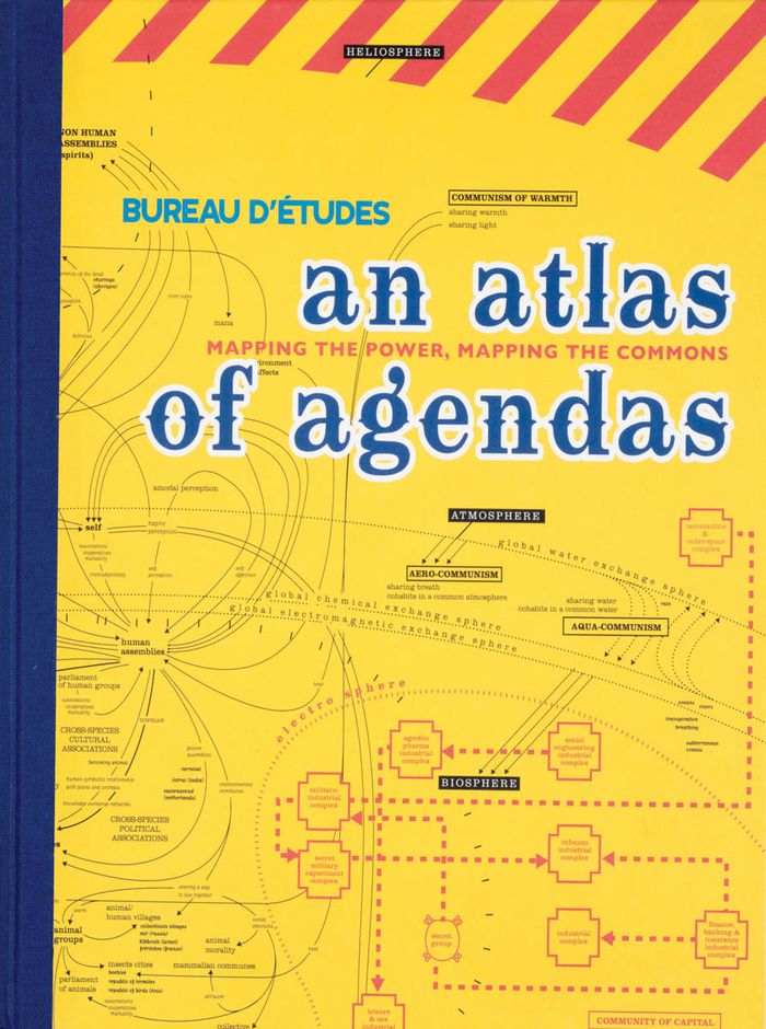
An atlas of agendas: mapping the power, mapping the commons
Actions:
Price:
$69.95
(available to order)
Summary:
An Atlas of Agendas is a political, social and economic atlas: informing the public about socio-political power structures and activating opportunities for the self and the commons. The French research and design group Bureau d´Études has been producing maps of contemporary political, social and economic systems that allow people to inform, reposition and empower themselves. Revealing what normally remains invisible, often in the shape of large-sized banners, and contextualizing apparently separate elements within new frameworks, these visualizations of interests and relations re-articulate the dominant symbolic order and actualize existing structures that otherwise remain concealed and unknown. This large-size hardcover book, panoramic in scope and theoretically both profound and accessible, is THE atlas for an emancipatory new citizenship that utilizes the opportunities of info-graphics from the local to the global and back again.
Form:
books
books
Publication:
March 2020
March 2020
Subject:
Architectural Plans and Cartography
Architectural Plans and Cartography
Form:
books
books
Price:
$124.95
(available to order)
Summary:
This atlas presents over hundred years of Ng’ambo’s history and urban development through maps, plans, surveys and images, and provides insights into its present-day cultural landscape through subjects such as architecture, toponymy, cultural activities, public recreation, places for social interaction, handcrafts and urban heritage.
Subject:
Architectural Plans and Cartography
Architectural Plans and Cartography
Publication:
January 2019
January 2019
Title:
Ng’ambo Atlas: historic urban landscape of Zanzibar town’s ‘other side’
Actions:
Price:
$124.95
(available to order)
Summary:
This atlas presents over hundred years of Ng’ambo’s history and urban development through maps, plans, surveys and images, and provides insights into its present-day cultural landscape through subjects such as architecture, toponymy, cultural activities, public recreation, places for social interaction, handcrafts and urban heritage.
Form:
books
books
Publication:
January 2019
January 2019
Subject:
Architectural Plans and Cartography
Architectural Plans and Cartography
Form:
books
books
Price:
$52.00
(available to order)
Summary:
''This Is Not an Atlas'' gathers more than forty counter-cartographies from all over the world. This collection shows how maps are created and transformed as a part of political struggle, for critical research, or in art and education; from indigenous territories in the Amazon to the anti-eviction movement in San Francisco; from defending commons in Mexico to mapping(...)
Subject:
Architectural Plans and Cartography
Architectural Plans and Cartography
Publication:
September 2019
September 2019
Title:
This is not an atlas: a global collection of counter-cartographies
Actions:
Price:
$52.00
(available to order)
Summary:
''This Is Not an Atlas'' gathers more than forty counter-cartographies from all over the world. This collection shows how maps are created and transformed as a part of political struggle, for critical research, or in art and education; from indigenous territories in the Amazon to the anti-eviction movement in San Francisco; from defending commons in Mexico to mapping refugee camps with balloons in Lebanon; from slums in Nairobi to squats in Berlin; and from supporting communities in the Philippines to reporting sexual harassment in Cairo. ''This Is Not an Atlas'' seeks to inspire, to document the underrepresented, and to be a useful companion when becoming a counter-cartographer yourself.
Form:
books
books
Publication:
September 2019
September 2019
Subject:
Architectural Plans and Cartography
Architectural Plans and Cartography
Form:
books
books
Actions:
Price:
$47.95
(available to order)
Summary:
Ce livre raconte l’exploration d’une terre inconnue, la nôtre. À la suite des voyageurs de la Renaissance partis cartographier les terra incognita du Nouveau Monde, « Terra Forma » propose, cinq siècles plus tard, de découvrir une autre Terre, ou plutôt de redécouvrir autrement celle que nous croyons si bien connaître en partant du constat que si les transformations(...)
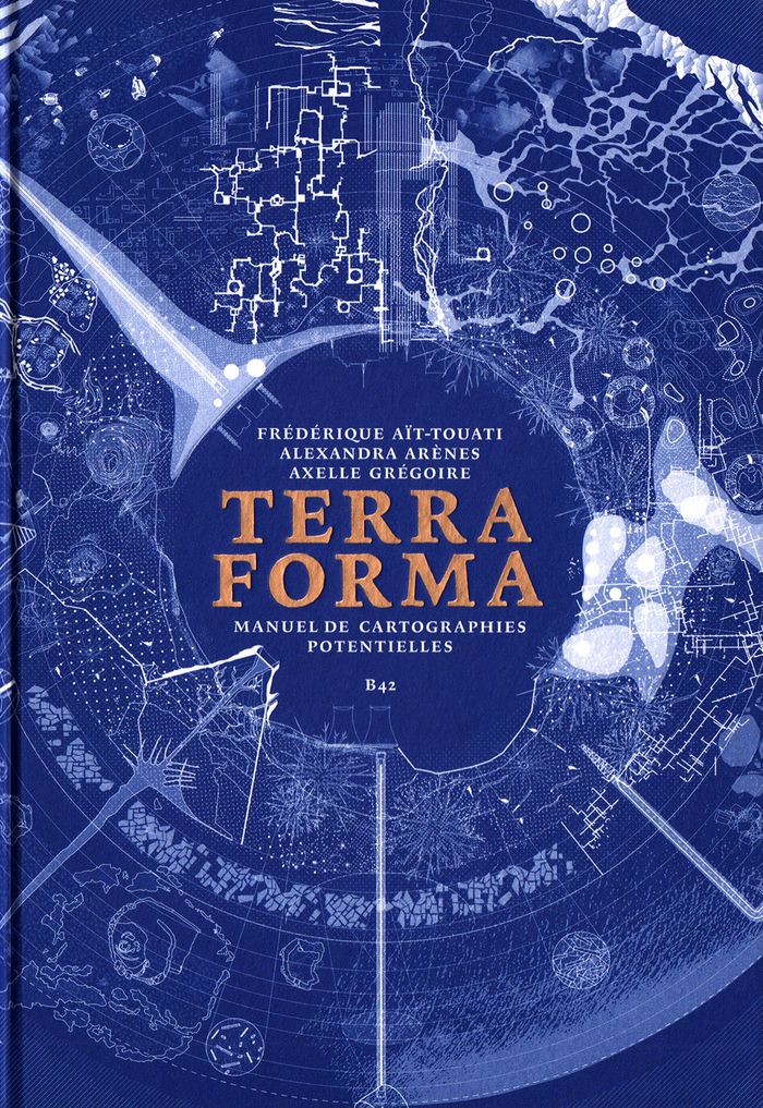
Title:
Terra forma : manuel de cartographies potentielles
Actions:
Price:
$47.95
(available to order)
Summary:
Ce livre raconte l’exploration d’une terre inconnue, la nôtre. À la suite des voyageurs de la Renaissance partis cartographier les terra incognita du Nouveau Monde, « Terra Forma » propose, cinq siècles plus tard, de découvrir une autre Terre, ou plutôt de redécouvrir autrement celle que nous croyons si bien connaître en partant du constat que si les transformations récentes des conditions d’habitabilité du monde sont si difficiles à percevoir, c’est parce que les représentations disponibles sont trop abstraites, lointaines, et dans une certaine mesure trop stables. En proposant une extension du vocabulaire cartographique, ce livre est un manifeste pour l’imagination géographique, et, ce faisant, politique. Si certains des phénomènes auxquels nous assistons (érosion des sols, épuisement des ressources, accélération des espaces-temps urbains, intensification des zones polluées) nous échappent par leur échelle, leur durée, leur ampleur, c’est par le développement de nos techniques de représentation que l’on peut espérer mieux les comprendre. En mettant en « cartes » certaines propositions des sciences du Système-Terre et de la pensée écologique contemporaine, « Terra Forma » permet de mieux saisir leur portée politique.
Form:
books
books
Publication:
May 2019
May 2019
Subject:
Architectural Plans and Cartography
Architectural Plans and Cartography
Form:
books
books
Actions:
Price:
$44.95
(available to order)
Summary:
Many people have a love of maps. But what lies behind the process of map-making? How have cartographers through the centuries developed their craft and established a language of maps which helps them to better represent our world and help users to understand it? This book tells the story of how widely accepted mapping conventions originated and evolved—from map(...)
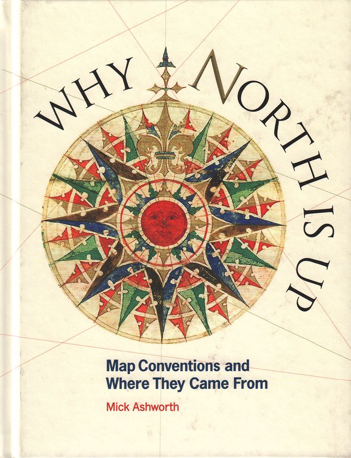
Title:
Why North is up: map conventions and where they came from
Actions:
Price:
$44.95
(available to order)
Summary:
Many people have a love of maps. But what lies behind the process of map-making? How have cartographers through the centuries developed their craft and established a language of maps which helps them to better represent our world and help users to understand it? This book tells the story of how widely accepted mapping conventions originated and evolved—from map orientation, projections, typography, and scale, to the use of color, symbols, ways of representing relief, and the treatment of boundaries and place names. It charts the fascinating story of how conventions have changed in response to new technologies and ever-changing mapping requirements, how symbols can be a matter of life or death, why universal acceptance of conventions can be difficult to achieve, and how new mapping conventions are developing to meet the needs of modern cartography. "Why North is Up" offers a guide to the sometimes hidden techniques of map-making through the centuries.
Form:
books
books
Publication:
December 2019
December 2019
Subject:
Architectural Plans and Cartography
Architectural Plans and Cartography
Form:
books
books
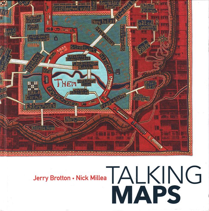
Title:
Talking maps
Talking maps
Actions:
Price:
$74.95
(available to order)
Summary:
Every map tells a story. Some provide a narrative for travelers, explorers, and surveyors or offer a visual account of changes to people’s lives and surroundings, while others tell imaginary tales, transporting us to fictional worlds created by writers and artists. In turn, maps generate more stories, taking users on new journeys in search of knowledge and adventure. By(...)
Subject:
Architectural Plans and Cartography
Architectural Plans and Cartography
Publication:
November 2019
November 2019
Title:
Talking maps
Actions:
Price:
$74.95
(available to order)
Summary:
Every map tells a story. Some provide a narrative for travelers, explorers, and surveyors or offer a visual account of changes to people’s lives and surroundings, while others tell imaginary tales, transporting us to fictional worlds created by writers and artists. In turn, maps generate more stories, taking users on new journeys in search of knowledge and adventure. By telling the stories behind the artifacts and those generated by them, "Talking Maps " reveals how each map is not just a tool for navigation but also a worldly proposal that helps us to understand who we are by describing where we are.
Form:
books
books
Publication:
November 2019
November 2019
Subject:
Architectural Plans and Cartography
Architectural Plans and Cartography
Form:
books
books
Price:
$70.00
(available to order)
Summary:
This is the first book to catalog comparative maps and tableaux that visualize the heights and lengths of the world's mountains and rivers. Produced predominantly in the nineteenth century, these maps emerged out of the tide of exploration and scientific developments in measuring techniques. Beginning with the work of explorer Alexander von Humboldt, these historic(...)
Subject:
Architectural Plans and Cartography
Architectural Plans and Cartography
Publication:
September 2019
September 2019
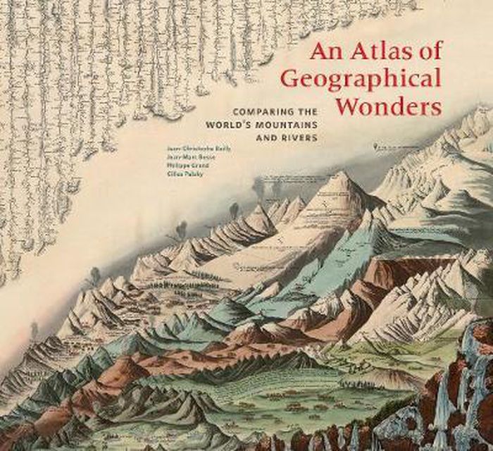
Title:
An atlas of geographical wonders: from mountaintops to riverbeds
Actions:
Price:
$70.00
(available to order)
Summary:
This is the first book to catalog comparative maps and tableaux that visualize the heights and lengths of the world's mountains and rivers. Produced predominantly in the nineteenth century, these maps emerged out of the tide of exploration and scientific developments in measuring techniques. Beginning with the work of explorer Alexander von Humboldt, these historic drawings reveal a world of artistic and imaginative difference. Many of them give way—and with visible joy—to the power of fantasy in a mesmerizing array of realistic and imaginary forms. Most of the maps are from the David Rumsey Historical Map Collection at Stanford University.
Form:
books
books
Publication:
September 2019
September 2019
Subject:
Architectural Plans and Cartography
Architectural Plans and Cartography
Form:
books
books
Actions:
Price:
$20.95
(available to order)
Summary:
Sean C. Jackson has been illustrating and exploring mazes for his own enjoyment for more than 30 years. Inspired by art, architecture, and the natural world, his colorfully detailed mazes offer imaginative and meditative journeys through village streets, garden vistas, island habitats, castle grounds, scenic towns, and gravity-defying surreal situations—each encouraging(...)
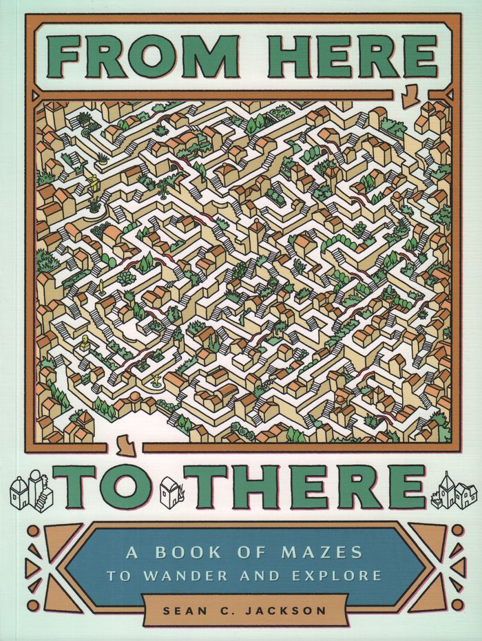
Title:
From here to there : a book of mazes to wander and explore
Actions:
Price:
$20.95
(available to order)
Summary:
Sean C. Jackson has been illustrating and exploring mazes for his own enjoyment for more than 30 years. Inspired by art, architecture, and the natural world, his colorfully detailed mazes offer imaginative and meditative journeys through village streets, garden vistas, island habitats, castle grounds, scenic towns, and gravity-defying surreal situations—each encouraging the mind to wander while following the paths. This large-format collection features nearly 50 absorbing single-page and full-spread mazes, sequenced with increasing complexity, and includes inventive bonuses such as mazes with two paths to follow and a maze that runs on the inside covers from front to back. Solutions are provided, but for those seeking mindful activity or hours of puzzle decoding entertainment, getting there will be half the fun.
Form:
books
books
Publication:
February 2017
February 2017
Subject:
Architectural Plans and Cartography
Architectural Plans and Cartography
Form:
books
books
Actions:
Price:
$50.00
(available to order)
Summary:
This collection of maps explores the unique personalities of 28 cities around the world, shedding light on the strange and marvelous ways in which humans interact with the places they call home. Artist and creative cartographer Adam Dant dissects Manhattan in an anatomical diagram, traces the form of a Picasso nude in the streets of Monaco, and transforms the(...)
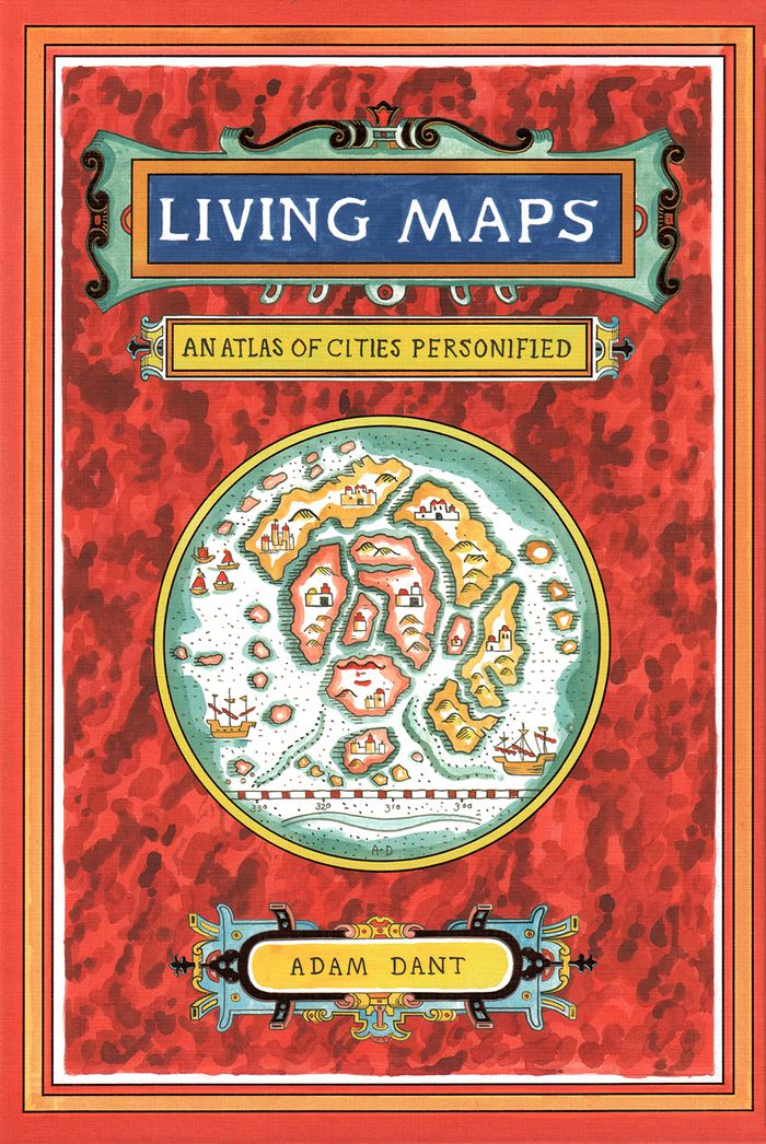
Title:
Living maps: an atlas of cities personified
Actions:
Price:
$50.00
(available to order)
Summary:
This collection of maps explores the unique personalities of 28 cities around the world, shedding light on the strange and marvelous ways in which humans interact with the places they call home. Artist and creative cartographer Adam Dant dissects Manhattan in an anatomical diagram, traces the form of a Picasso nude in the streets of Monaco, and transforms the crisscrossing paths of boats on the Bosporus into the nerves of Istanbul. Dant draws on the history, culture, and geography of each city and on the beguiling aesthetic of antique maps to create gorgeous works of cartographic art. Witty, insightful, and adorned with a gold foil–stamped cover, this book will capture the imaginations of travelers, map enthusiasts, history buffs, and dreamers.
Form:
books
books
Publication:
October 2018
October 2018
Subject:
Architectural Plans and Cartography
Architectural Plans and Cartography