108 Results
Form:
books
books
Title:
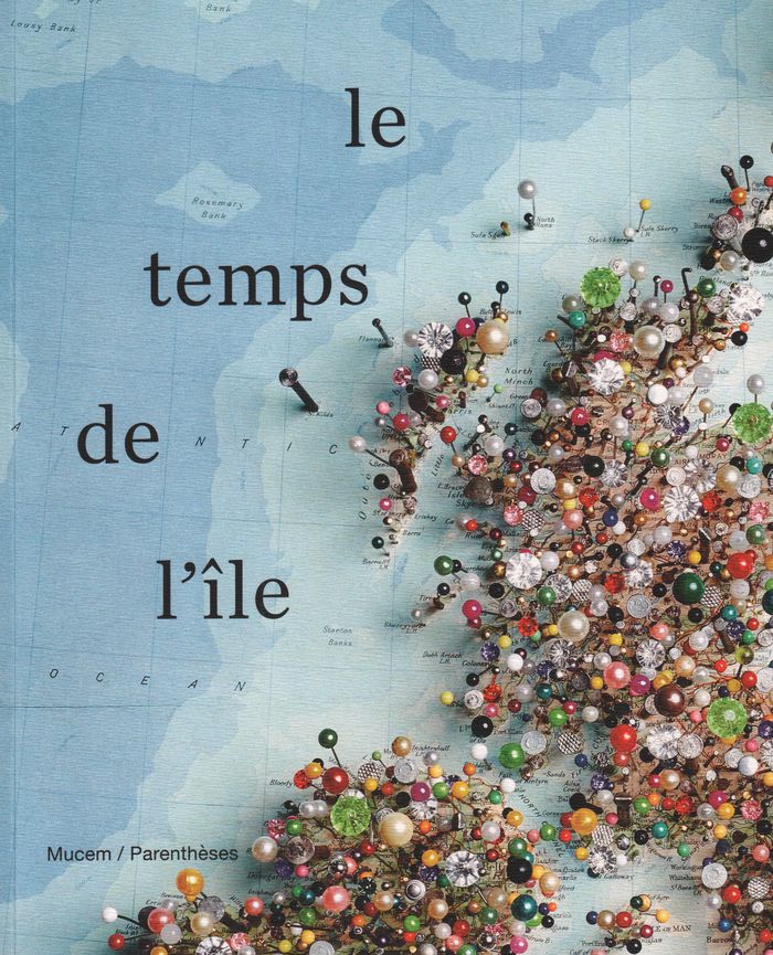
Le temps de l'île
Le temps de l'île
Actions:
Price:
$67.95
(available to order)
Summary:
Hommage aux îles dans les arts. En tant que lieu périphérique et marginal figurant l'autre et l'ailleurs, l'espace îlien interroge les savoirs, les sociétés, la philosophie, le cinéma, la poésie ou encore la politique.
$67.95
(available to order)
Summary:
Hommage aux îles dans les arts. En tant que lieu périphérique et marginal figurant l'autre et l'ailleurs, l'espace îlien interroge les savoirs, les sociétés, la philosophie, le cinéma, la poésie ou encore la politique.
Subject:
Architectural Plans and Cartography
Architectural Plans and Cartography
Publication:
August 2019
August 2019
Title:
Le temps de l'île
Actions:
Price:
$67.95
(available to order)
Summary:
Hommage aux îles dans les arts. En tant que lieu périphérique et marginal figurant l'autre et l'ailleurs, l'espace îlien interroge les savoirs, les sociétés, la philosophie, le cinéma, la poésie ou encore la politique.
Le temps de l'île
Actions:
Price:
$67.95
(available to order)
Summary:
Hommage aux îles dans les arts. En tant que lieu périphérique et marginal figurant l'autre et l'ailleurs, l'espace îlien interroge les savoirs, les sociétés, la philosophie, le cinéma, la poésie ou encore la politique.
Form:
books
books
Publication:
August 2019
August 2019
Subject:
Architectural Plans and Cartography
Architectural Plans and Cartography
Form:
books
books
Actions:
Price:
$50.00
(available to order)
Summary:
This collection of maps explores the unique personalities of 28 cities around the world, shedding light on the strange and marvelous ways in which humans interact with the places they call home. Artist and creative cartographer Adam Dant dissects Manhattan in an anatomical diagram, traces the form of a Picasso nude in the streets of Monaco, and transforms the(...)
Title:
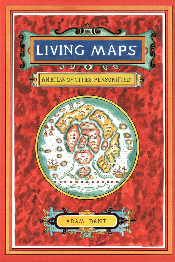
Living maps: an atlas of cities personified
Actions:
Price:
$50.00
(available to order)
Summary:
This collection of maps explores the unique personalities of 28 cities around the world, shedding light on the strange and marvelous ways in which humans interact with the places they call home. Artist and creative cartographer Adam Dant dissects Manhattan in an anatomical diagram, traces the form of a Picasso nude in the streets of Monaco, and transforms the crisscrossing paths of boats on the Bosporus into the nerves of Istanbul. Dant draws on the history, culture, and geography of each city and on the beguiling aesthetic of antique maps to create gorgeous works of cartographic art. Witty, insightful, and adorned with a gold foil–stamped cover, this book will capture the imaginations of travelers, map enthusiasts, history buffs, and dreamers.
Form:
books
books
Publication:
October 2018
October 2018
Subject:
Architectural Plans and Cartography
Architectural Plans and Cartography
Form:
books
books
Actions:
Price:
$42.99
(available to order)
Summary:
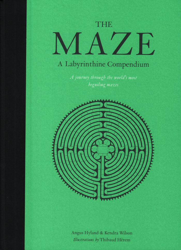
Mazes have been a part of civilization for at least 4,000 years, and there are more being built now than ever before. What is it about these magical life-size puzzles that continues to intrigue us? The illustrations represent 60 real and imagined mazes from around the world, with a bird’s eye view of each maze. Each maze is also accompanied by a short history.
$42.99
(available to order)
Summary:
Mazes have been a part of civilization for at least 4,000 years, and there are more being built now than ever before. What is it about these magical life-size puzzles that continues to intrigue us? The illustrations represent 60 real and imagined mazes from around the world, with a bird’s eye view of each maze. Each maze is also accompanied by a short history.
Subject:
Architectural Plans and Cartography
Architectural Plans and Cartography
Publication:
September 2018
September 2018
Title:
The maze: a labyrinthine compendium
Actions:
Price:
$42.99
(available to order)
Summary:
Mazes have been a part of civilization for at least 4,000 years, and there are more being built now than ever before. What is it about these magical life-size puzzles that continues to intrigue us? The illustrations represent 60 real and imagined mazes from around the world, with a bird’s eye view of each maze. Each maze is also accompanied by a short history.
Form:
books
books
Publication:
September 2018
September 2018
Subject:
Architectural Plans and Cartography
Architectural Plans and Cartography
Form:
books
books
Title:
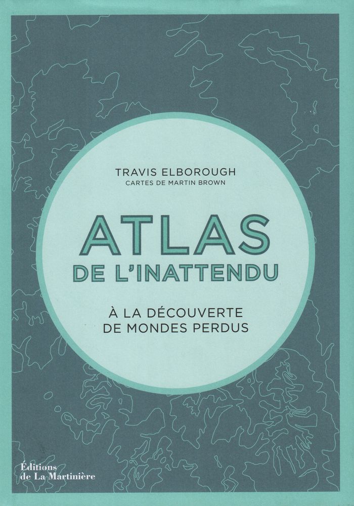
Atlas de l'inattendu
Atlas de l'inattendu
Actions:
Price:
$57.95
(available to order)
Summary:
Dans cette atlas, Travis Elborough poursuit son exploration mondiale des lieux inattendus, des bizarreries architecturales et autres curiosités de notre planète. À partir des cartes de Martin Brown et de documents photographiques, il cultive notre goût de l'insolite et du voyage. Des villages flottants du lac Titicaca aux arbres biscornus de Slope Point en(...)
Title:
Atlas de l'inattendu
Actions:
Price:
$57.95
(available to order)
Summary:
Dans cette atlas, Travis Elborough poursuit son exploration mondiale des lieux inattendus, des bizarreries architecturales et autres curiosités de notre planète. À partir des cartes de Martin Brown et de documents photographiques, il cultive notre goût de l'insolite et du voyage. Des villages flottants du lac Titicaca aux arbres biscornus de Slope Point en Nouvelle-Zélande, des hauteurs vertigineuses d'un monastère taoïste à l'écho souterrain d'une grotte aux coquillages, Travis Elborough nous raconte un monde insoupçonné.
Form:
books
books
Publication:
December 2018
December 2018
Subject:
Architectural Plans and Cartography
Architectural Plans and Cartography
Form:
books
books
Actions:
Price:
$69.95
(available to order)
Summary:
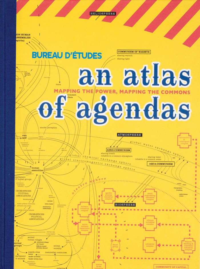
An Atlas of Agendas is a political, social and economic atlas: informing the public about socio-political power structures and activating opportunities for the self and the commons. The French research and design group Bureau d´Études has been producing maps of contemporary political, social and economic systems that allow people to inform, reposition and empower(...)
$69.95
(available to order)
Summary:
An Atlas of Agendas is a political, social and economic atlas: informing the public about socio-political power structures and activating opportunities for the self and the commons. The French research and design group Bureau d´Études has been producing maps of contemporary political, social and economic systems that allow people to inform, reposition and empower(...)
Subject:
Architectural Plans and Cartography
Architectural Plans and Cartography
Publication:
March 2020
March 2020
Title:
An atlas of agendas: mapping the power, mapping the commons
Actions:
Price:
$69.95
(available to order)
Summary:
An Atlas of Agendas is a political, social and economic atlas: informing the public about socio-political power structures and activating opportunities for the self and the commons. The French research and design group Bureau d´Études has been producing maps of contemporary political, social and economic systems that allow people to inform, reposition and empower themselves. Revealing what normally remains invisible, often in the shape of large-sized banners, and contextualizing apparently separate elements within new frameworks, these visualizations of interests and relations re-articulate the dominant symbolic order and actualize existing structures that otherwise remain concealed and unknown. This large-size hardcover book, panoramic in scope and theoretically both profound and accessible, is THE atlas for an emancipatory new citizenship that utilizes the opportunities of info-graphics from the local to the global and back again.
Form:
books
books
Publication:
March 2020
March 2020
Subject:
Architectural Plans and Cartography
Architectural Plans and Cartography
Form:
books
books

Price:
$124.95
(available to order)
Summary:
This atlas presents over hundred years of Ng’ambo’s history and urban development through maps, plans, surveys and images, and provides insights into its present-day cultural landscape through subjects such as architecture, toponymy, cultural activities, public recreation, places for social interaction, handcrafts and urban heritage.
Subject:
Architectural Plans and Cartography
Architectural Plans and Cartography
Publication:
January 2019
January 2019
Title:
Ng’ambo Atlas: historic urban landscape of Zanzibar town’s ‘other side’
Actions:
Price:
$124.95
(available to order)
Summary:
This atlas presents over hundred years of Ng’ambo’s history and urban development through maps, plans, surveys and images, and provides insights into its present-day cultural landscape through subjects such as architecture, toponymy, cultural activities, public recreation, places for social interaction, handcrafts and urban heritage.
Form:
books
books
Publication:
January 2019
January 2019
Subject:
Architectural Plans and Cartography
Architectural Plans and Cartography
Form:
books
books
Price:
$52.00
(available to order)
Summary:
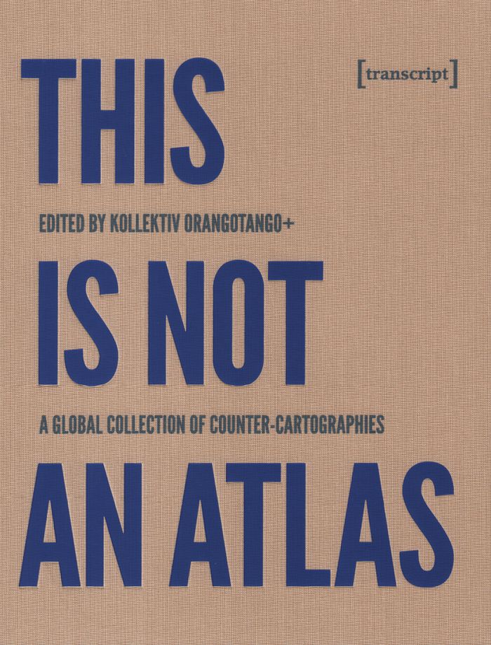
''This Is Not an Atlas'' gathers more than forty counter-cartographies from all over the world. This collection shows how maps are created and transformed as a part of political struggle, for critical research, or in art and education; from indigenous territories in the Amazon to the anti-eviction movement in San Francisco; from defending commons in Mexico to mapping(...)
$52.00
(available to order)
Summary:
''This Is Not an Atlas'' gathers more than forty counter-cartographies from all over the world. This collection shows how maps are created and transformed as a part of political struggle, for critical research, or in art and education; from indigenous territories in the Amazon to the anti-eviction movement in San Francisco; from defending commons in Mexico to mapping(...)
Subject:
Architectural Plans and Cartography
Architectural Plans and Cartography
Publication:
September 2019
September 2019
Title:
This is not an atlas: a global collection of counter-cartographies
Actions:
Price:
$52.00
(available to order)
Summary:
''This Is Not an Atlas'' gathers more than forty counter-cartographies from all over the world. This collection shows how maps are created and transformed as a part of political struggle, for critical research, or in art and education; from indigenous territories in the Amazon to the anti-eviction movement in San Francisco; from defending commons in Mexico to mapping refugee camps with balloons in Lebanon; from slums in Nairobi to squats in Berlin; and from supporting communities in the Philippines to reporting sexual harassment in Cairo. ''This Is Not an Atlas'' seeks to inspire, to document the underrepresented, and to be a useful companion when becoming a counter-cartographer yourself.
Form:
books
books
Publication:
September 2019
September 2019
Subject:
Architectural Plans and Cartography
Architectural Plans and Cartography
Form:
books
books
Title:
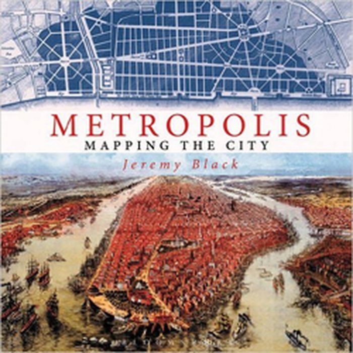
Metropolis: mapping the city
Metropolis: mapping the city
Actions:
Price:
$63.95
(available to order)
Summary:
This volume looks at the development of the mapping and representation of the city revealing how we organize the urban space. From skyline profiles, bird's eye views and panoramas, to the schematic maps of transport networks and road layouts to help us navigate, and statistical maps that can provide information on human aspirations, cities can reveal themselves in many(...)
Title:
Metropolis: mapping the city
Actions:
Price:
$63.95
(available to order)
Summary:
This volume looks at the development of the mapping and representation of the city revealing how we organize the urban space. From skyline profiles, bird's eye views and panoramas, to the schematic maps of transport networks and road layouts to help us navigate, and statistical maps that can provide information on human aspirations, cities can reveal themselves in many ways. Focusing on key points in the development of urban representation and including visions of the future of how we would be living today, this enlightening book illustrates some of the oldest, youngest, liveliest, and most contested cities in the world
Form:
books
books
Publication:
November 2015
November 2015
Subject:
Architectural Plans and Cartography
Architectural Plans and Cartography
Form:
books
books

Actions:
Price:
$59.95
(available to order)
Summary:
Parcourant le monde à travers des cartes de toutes provenances et de toutes époques, l'écrivain de voyage Francisca Mattéoli raconte une vingtaine d'histoires étonnantes sur la géographie des lieux pour comprendre comment les endroits les plus magiques de la planète ont été révélés au plus grand nombre. De la route 66 avec les premiers colons, en passant par la découverte(...)
Title:
Map stories. Histoires de cartes
Actions:
Price:
$59.95
(available to order)
Summary:
Parcourant le monde à travers des cartes de toutes provenances et de toutes époques, l'écrivain de voyage Francisca Mattéoli raconte une vingtaine d'histoires étonnantes sur la géographie des lieux pour comprendre comment les endroits les plus magiques de la planète ont été révélés au plus grand nombre. De la route 66 avec les premiers colons, en passant par la découverte tardive de Petra ou des Maldives, c'est un voyage dans le temps et dans l'espace pour mieux appréhender le monde tel qu'on le connaît aujourd'hui et la place que nous y avons.
Form:
books
books
Publication:
December 2015
December 2015
Subject:
Architectural Plans and Cartography
Architectural Plans and Cartography
Form:
books
books
Price:
$66.95
(available to order)
Summary:
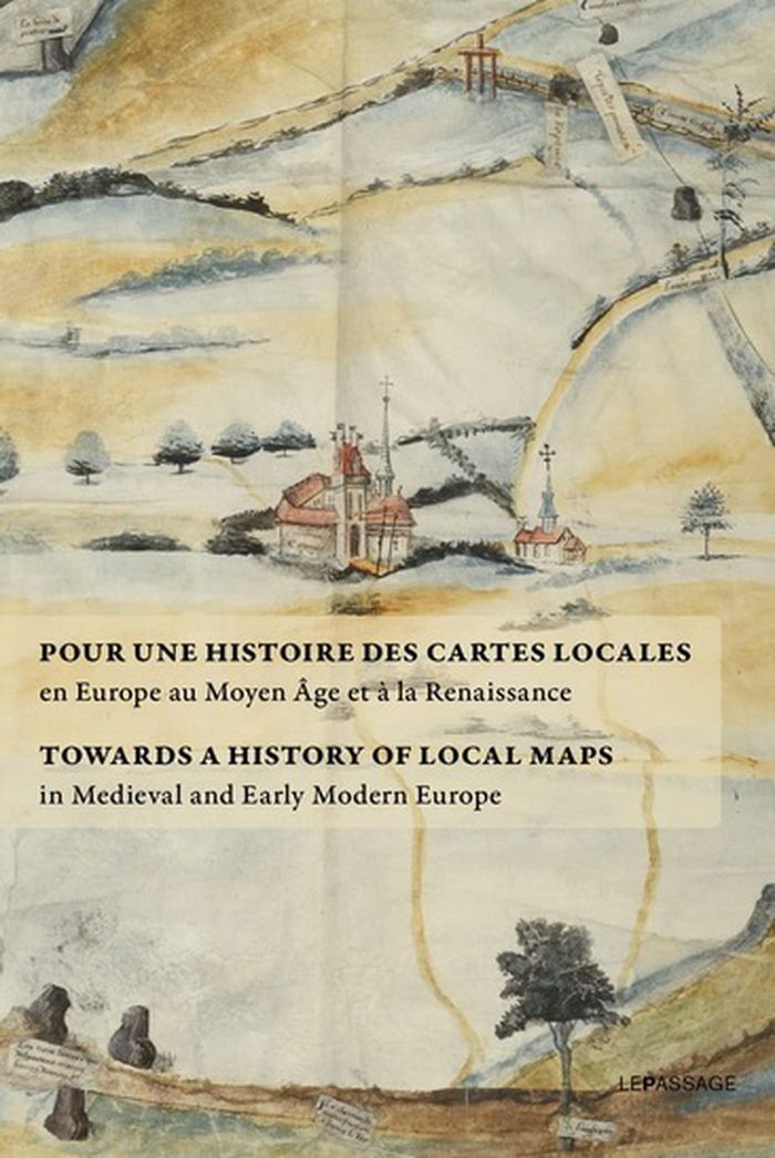
Rassemblant des textes rédigés par les meilleurs spécialistes du sujet, J. Dumasy-Rabineau met en évidence l'ampleur du corpus cartographique des XVe et XVIe siècles et engage une étude comparée à l'échelle européenne. Ce recueil fait suite à une exposition aux archives nationales en 2019 qui présentait des cartes locales issues de collections françaises.
$66.95
(available to order)
Summary:
Rassemblant des textes rédigés par les meilleurs spécialistes du sujet, J. Dumasy-Rabineau met en évidence l'ampleur du corpus cartographique des XVe et XVIe siècles et engage une étude comparée à l'échelle européenne. Ce recueil fait suite à une exposition aux archives nationales en 2019 qui présentait des cartes locales issues de collections françaises.
Subject:
Architectural Plans and Cartography
Architectural Plans and Cartography
Publication:
September 2022
September 2022
Title:
Pour une histoire des cartes locales / Towards a history of local maps
Actions:
Price:
$66.95
(available to order)
Summary:
Rassemblant des textes rédigés par les meilleurs spécialistes du sujet, J. Dumasy-Rabineau met en évidence l'ampleur du corpus cartographique des XVe et XVIe siècles et engage une étude comparée à l'échelle européenne. Ce recueil fait suite à une exposition aux archives nationales en 2019 qui présentait des cartes locales issues de collections françaises.
Form:
books
books
Publication:
September 2022
September 2022
Subject:
Architectural Plans and Cartography
Architectural Plans and Cartography