705 Results
Form:
books
books
Actions:
Price:
$24.95
(available to order)
Summary:
Le premier titre de la collection Cartographies, paru à l’automne 2016, était consacré à la Couronne Sud ; le recueil de nouvelles Couronne Nord est la deuxième incartade dans les banlieues de la métropole québécoise.
$24.95
(available to order)
Summary:
Le premier titre de la collection Cartographies, paru à l’automne 2016, était consacré à la Couronne Sud ; le recueil de nouvelles Couronne Nord est la deuxième incartade dans les banlieues de la métropole québécoise.
Title:
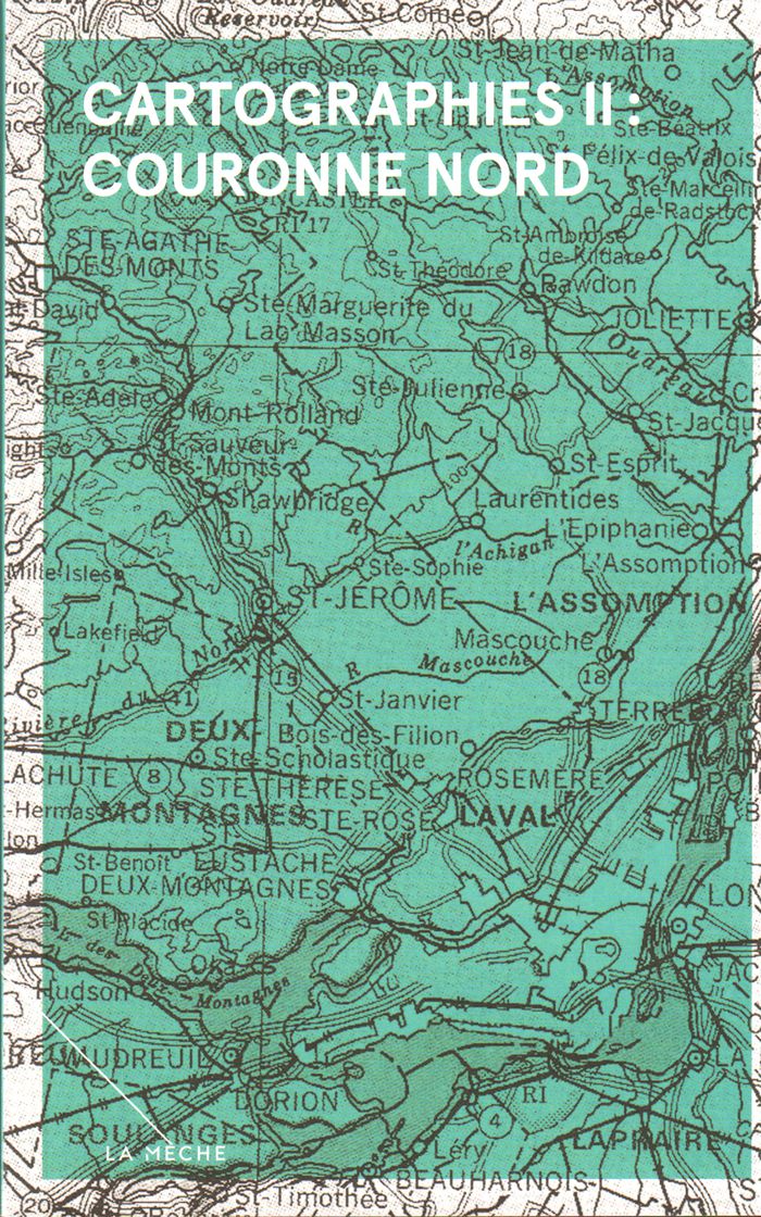
Cartographies II : couronne nord
Actions:
Price:
$24.95
(available to order)
Summary:
Le premier titre de la collection Cartographies, paru à l’automne 2016, était consacré à la Couronne Sud ; le recueil de nouvelles Couronne Nord est la deuxième incartade dans les banlieues de la métropole québécoise.
Form:
books
books
Publication:
February 2017
February 2017
Subject:
Social Studies (Québec)
Social Studies (Québec)
Form:
books
books
Title:
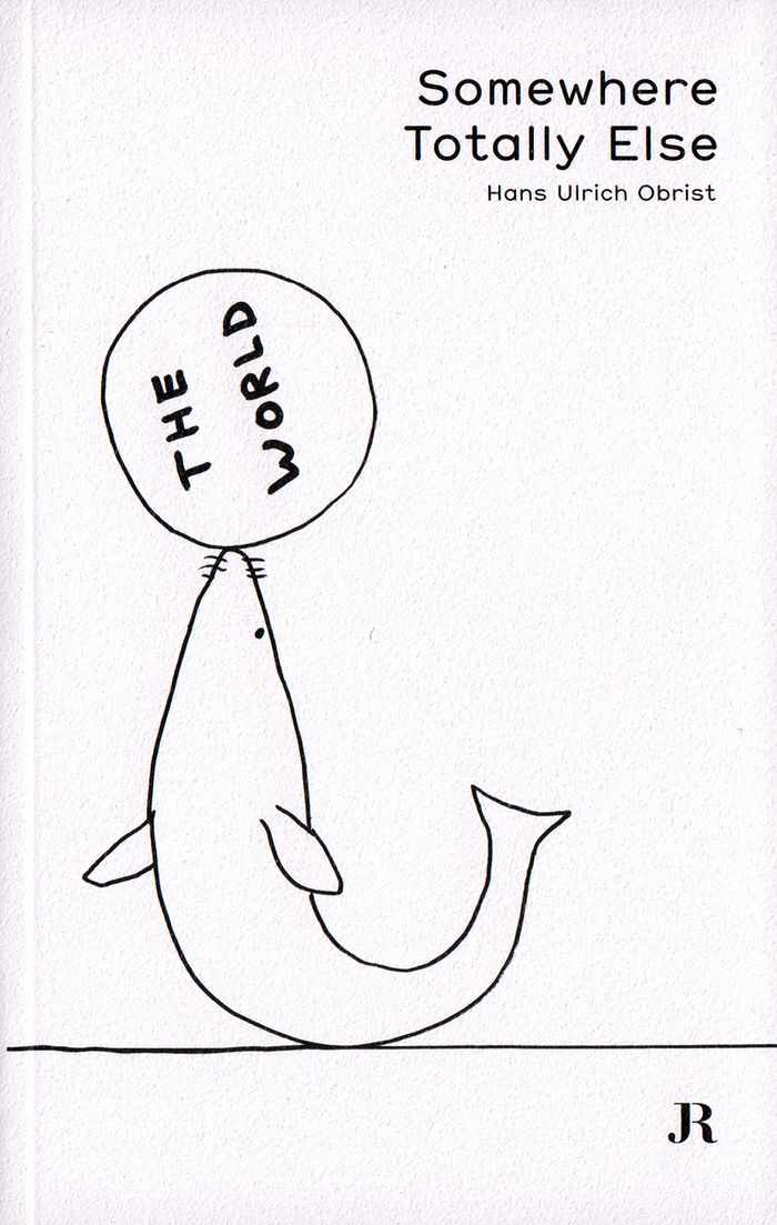
Somewhere totally else
Somewhere totally else
Actions:
Price:
$33.95
(available in store)
Summary:
Une anthologie des textes écrits par Obrist pour le supplément du journal suisse Tages-Anzeiger : une cartographie de l'art contemporain et du monde de la culture dans les années 2010, rédigée sous la forme d'un journal intime. Cette publication se compose de 80 textes écrits entre 2012 et 2017, d'une série de dessins de l'artiste britannique David Shrigley, et un index(...)
Subject:
Art Theory
Art Theory
Publication:
January 2018
January 2018
Title:
Somewhere totally else
Actions:
Price:
$33.95
(available in store)
Summary:
Une anthologie des textes écrits par Obrist pour le supplément du journal suisse Tages-Anzeiger : une cartographie de l'art contemporain et du monde de la culture dans les années 2010, rédigée sous la forme d'un journal intime. Cette publication se compose de 80 textes écrits entre 2012 et 2017, d'une série de dessins de l'artiste britannique David Shrigley, et un index répertoriant les noms et lieux mentionnés.
Form:
books
books
Publication:
January 2018
January 2018
Subject:
Art Theory
Art Theory
Form:
books
books
Actions:
Price:
$46.95
(available to order)
Summary:
Cet ouvrage présente les travaux français et étrangers sur l'effet de coupure en milieu urbain. Il explique également pourquoi la monétarisation de cette nuisance est si difficile, élabore des outils concrets d'analyse et de cartographie, révèle le rôle clef de la vitesse qui en est à l'origine et souligne les effets pervers des solutions sectorielles à courte vue, tout(...)
Title:
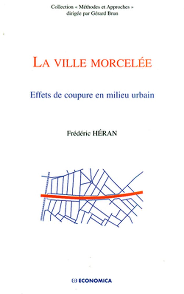
La ville morcelée : effets de coupure en milieu urbain
Actions:
Price:
$46.95
(available to order)
Summary:
Cet ouvrage présente les travaux français et étrangers sur l'effet de coupure en milieu urbain. Il explique également pourquoi la monétarisation de cette nuisance est si difficile, élabore des outils concrets d'analyse et de cartographie, révèle le rôle clef de la vitesse qui en est à l'origine et souligne les effets pervers des solutions sectorielles à courte vue, tout en préconisant au contraire une approche réconciliant la voie et la ville.
Form:
books
books
Publication:
July 2011
July 2011
Subject:
Urban Theory
Urban Theory
Form:
books
books
Actions:
Holdings:
Description:
xvi, 269 pages, [11] folded leaves of plates : illustrations, plans 21 cm
Description:
xvi, 269 pages, [11] folded leaves of plates : illustrations, plans 21 cm
Author:
Subject:
Publication:
Paris, Chez Ch. Ant. Jombert père, 1775.
Paris, Chez Ch. Ant. Jombert père, 1775.
Title:
L'art de lever les plans de tout ce qui a rapport à la guerre & à l'architecture civile et champêtre. Dédié à Monseigneur le duc de Berry. Par M. Dupain de Montesson.
Actions:
Holdings:
Description:
xvi, 269 pages, [11] folded leaves of plates : illustrations, plans 21 cm
L'art de lever les plans de tout ce qui a rapport à la guerre & à l'architecture civile et champêtre. Dédié à Monseigneur le duc de Berry. Par M. Dupain de Montesson.
Actions:
Holdings:
Description:
xvi, 269 pages, [11] folded leaves of plates : illustrations, plans 21 cm
Form:
books
books
Publication:
Paris, Chez Ch. Ant. Jombert père, 1775.
Paris, Chez Ch. Ant. Jombert père, 1775.
Author:
Subject:
Form:
books
books
Actions:
Price:
$21.95
(available in store)
Summary:
Parlures régionales, formes non écrites, hybridées, dominées, colonisées, marginales, migrantes, illettrées, clandestines, domestiques… S’articulent ces langues subalternes, dévaluées, ces manières du quotidien, ces lieux de mémoire et de l’intimité. Elles persistent, migrent, opèrent une cartographie souterraine, portent la mémoire du continent et les traces de(...)
Title:
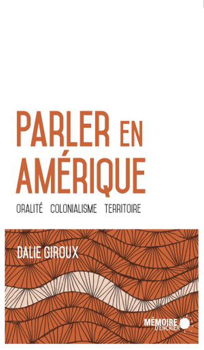
Parler en Amérique : Oralité, colonialisme, territoire
Actions:
Price:
$21.95
(available in store)
Summary:
Parlures régionales, formes non écrites, hybridées, dominées, colonisées, marginales, migrantes, illettrées, clandestines, domestiques… S’articulent ces langues subalternes, dévaluées, ces manières du quotidien, ces lieux de mémoire et de l’intimité. Elles persistent, migrent, opèrent une cartographie souterraine, portent la mémoire du continent et les traces de l’histoire coloniale. S’opèrent alors des pratiques de liberté, des audaces philosophiques et littéraires qui laissent la porte ouverte à tout ce qui est susceptible d’initier une « machine intime de décolonisation ».
Form:
books
books
Publication:
January 2019
January 2019
Subject:
Social
Social
Form:
books
books
Title:
Chitra : cities and monuments of eighteenth-century India from French archives / Jean-Marie Lafont.
Chitra : cities and monuments of eighteenth-century India from French archives / Jean-Marie Lafont.
Actions:
Holdings:
Description:
xiv, 162 pages : color illustrations, maps ; 23 x 29 cm
Description:
xiv, 162 pages : color illustrations, maps ; 23 x 29 cm
Author:
Subject:
Publication:
New Delhi ; New York : Oxford University Press, 2001.
New Delhi ; New York : Oxford University Press, 2001.
Title:
Chitra : cities and monuments of eighteenth-century India from French archives / Jean-Marie Lafont.
Actions:
Holdings:
Description:
xiv, 162 pages : color illustrations, maps ; 23 x 29 cm
Chitra : cities and monuments of eighteenth-century India from French archives / Jean-Marie Lafont.
Actions:
Holdings:
Description:
xiv, 162 pages : color illustrations, maps ; 23 x 29 cm
Form:
books
books
Publication:
New Delhi ; New York : Oxford University Press, 2001.
New Delhi ; New York : Oxford University Press, 2001.
Author:
Subject:
Form:
books
books
Actions:
Price:
$68.95
(available to order)
Summary:
Finding one’s way with a map is a relatively recent phenomenon. In premodern times, maps were used, if at all, mainly for planning journeys in advance, not for guiding travelers on the road. With the exception of navigational sea charts, the use of maps by travelers only became common in the modern era; indeed, in the last two hundred years, maps have become the most(...)
Title:
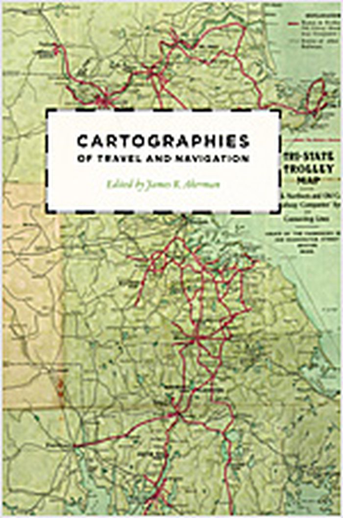
Cartographies of travel and navigation
Actions:
Price:
$68.95
(available to order)
Summary:
Finding one’s way with a map is a relatively recent phenomenon. In premodern times, maps were used, if at all, mainly for planning journeys in advance, not for guiding travelers on the road. With the exception of navigational sea charts, the use of maps by travelers only became common in the modern era; indeed, in the last two hundred years, maps have become the most ubiquitous and familiar genre of modern cartography. Examining the historical relationship between travelers, navigation, and maps, "Cartographies of travel and navigation" considers the cartographic response to the new modalities of modern travel brought about by technological and institutional developments in the twentieth century. Highlighting the ways in which the travelers, operators, and planners of modern transportation systems value maps as both navigation tools and as representatives of a radical new mobility, this collection brings the cartography of travel—by road, sea, rail, and air—to the forefront, placing maps at the center of the history of travel and movement.
Form:
books
books
Publication:
August 2006, Chicago, London
August 2006, Chicago, London
Subject:
Architectural Drawing
Architectural Drawing
Form:
books
books
Actions:
Price:
$45.00
(available to order)
Summary:
From Guy Debord in the early 1950s to Richard Long, Janet Cardiff, and Esther Polak more recently, contemporary artists have returned again and again to the walking motif. Today, the convergence of global networks, online databases, and new tools for mobile mapping coincides with a resurgence of interest in walking as an art form. In Walking and Mapping, Karen O’Rourke(...)
Title:
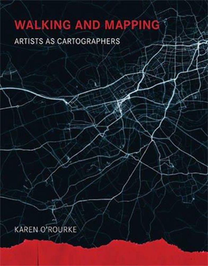
Walking and Mapping: Artists as Cartographers
Actions:
Price:
$45.00
(available to order)
Summary:
From Guy Debord in the early 1950s to Richard Long, Janet Cardiff, and Esther Polak more recently, contemporary artists have returned again and again to the walking motif. Today, the convergence of global networks, online databases, and new tools for mobile mapping coincides with a resurgence of interest in walking as an art form. In Walking and Mapping, Karen O’Rourke explores a series of walking/mapping projects by contemporary artists. She offers close readings of these projects—many of which she was able to experience firsthand—and situates them in relation to landmark works from the past half-century. Together, they form a new entity, a dynamic whole greater than the sum of its parts. By alternating close study of selected projects with a broader view of their place in a bigger picture, Walking and Mapping itself maps a complex phenomenon.
Form:
books
books
Publication:
February 2016
February 2016
Subject:
Art Theory
Art Theory
Form:
books
books
Actions:
Price:
$46.95
(available to order)
Summary:
Des pays qui n'existent pas vraiment, la seule ville presque entièrement souterraine au monde, une chambre d'hôtel britannique devenue yougoslave l'espace d'une journée, une îleespagnole la moitié de l'année et française le reste du temps, une ville qui se résume à un gratte-ciel de 14 étages, la seule et unique voie ferrée installée à l'extérieur de son pays... Le monde(...)
Title:
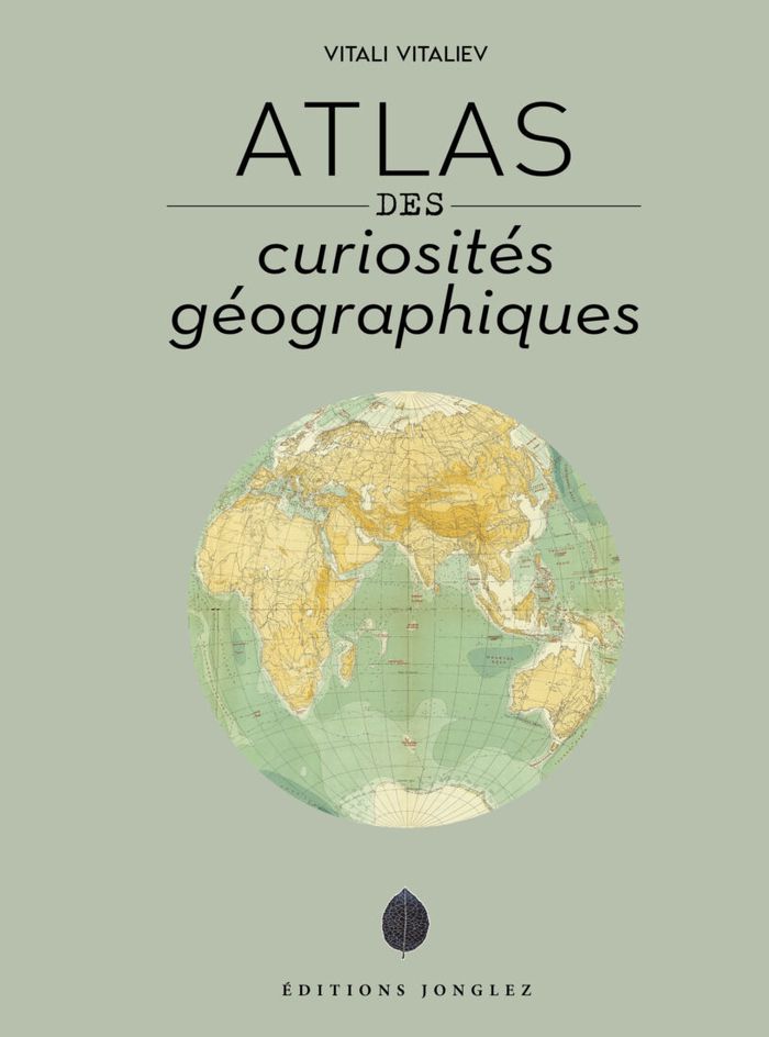
Atlas des curiosités géograhiques
Actions:
Price:
$46.95
(available to order)
Summary:
Des pays qui n'existent pas vraiment, la seule ville presque entièrement souterraine au monde, une chambre d'hôtel britannique devenue yougoslave l'espace d'une journée, une îleespagnole la moitié de l'année et française le reste du temps, une ville qui se résume à un gratte-ciel de 14 étages, la seule et unique voie ferrée installée à l'extérieur de son pays... Le monde regorge de curiosités géographiques qui sont souvent à l'origine de tensions diplomatiques ou militaires. Bien souvent méconnues, elles n'en représentent pas moins autant d'étincelles susceptibles de mettre le feu aux poudres sur la scène internationale.
Form:
books
books
Publication:
October 2022
October 2022
Subject:
Architectural Plans and Cartography
Architectural Plans and Cartography
Form:
books
books
Actions:
Price:
$67.95
(available to order)
Summary:
Parcourant le monde à travers de magnifiques cartes de toutes provenances et de toutes époques, l’écrivaine de voyage Francisca Mattéoli nous offre une aventure géographique étonnante en une vingtaine de récits sur les lieux qui l’inspirent ou l’ont marquée lors de ses voyages.
Title:
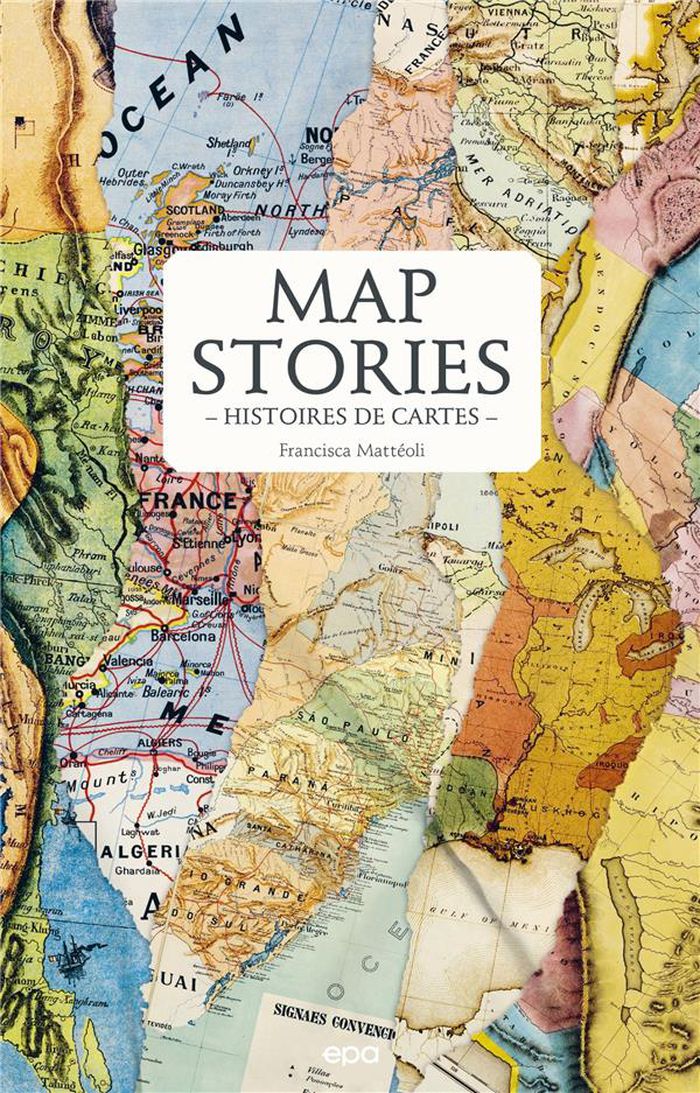
Map stories / Histoires de cartes
Actions:
Price:
$67.95
(available to order)
Summary:
Parcourant le monde à travers de magnifiques cartes de toutes provenances et de toutes époques, l’écrivaine de voyage Francisca Mattéoli nous offre une aventure géographique étonnante en une vingtaine de récits sur les lieux qui l’inspirent ou l’ont marquée lors de ses voyages.
Form:
books
books
Publication:
February 2023
February 2023
Subject:
Architectural Plans and Cartography
Architectural Plans and Cartography