705 Results
Form:
books
books
Actions:
Price:
$98.00
(available to order)
Summary:
A multitude of port cities dot Europe’s coastline, each with its own history and relationship to sea transportation and development. In the era of climate change, these cities can offer paradigms and guidance for sustainable development. Taking a comprehensive, map-based approach, "Port city atlas" offers visualizations of 100 port city territories located on four seas(...)
Subject:
Architectural Plans and Cartography
Architectural Plans and Cartography
Publication:
October 2023
October 2023
Title:
Port city atlas: Mapping European port city territories: From understanding to design
Actions:
Price:
$98.00
(available to order)
Summary:
A multitude of port cities dot Europe’s coastline, each with its own history and relationship to sea transportation and development. In the era of climate change, these cities can offer paradigms and guidance for sustainable development. Taking a comprehensive, map-based approach, "Port city atlas" offers visualizations of 100 port city territories located on four seas and connected through shared waters—from Amsterdam, Antwerp, Barcelona, Bilbao, Bordeaux, Bremen, Calais, Cork, Dover, Dublin, Felixstowe, Fredericia, Ghent, Hamburg, Helsinki, Kiel, Københavns and La Rochelle to Limerick, Liverpool, London, Lübeck, Malmø, Palermo, Ravenna, Riga, Rønne, Rotterdam, Sköldvik, Stockholm, Tallinn, Venice, Zeebrugge and countless others. Conceived as a reference work, "Port city atlas" provides a foundation for comparative analysis beyond the case-study approach, offering a uniquely sea-oriented take on the understanding and urban design of Europe.
Form:
books
books
Publication:
October 2023
October 2023
Subject:
Architectural Plans and Cartography
Architectural Plans and Cartography
Form:
books
books
Price:
$59.95
(available to order)
Summary:
Et si on reprenait l'écrin des cartes d'Antan pour représenter notre monde actuel ? . C'était la carte phare des anciens atlas, mais les ouvrages modernes l'ont délaissée. Pourtant, la mappemonde recèle bien des atouts. Xemartin Laborde ressuscite cette carte mythique dans une approche innovante, où l'esthétisme suranné se marie à la représentation des enjeux(...)
Subject:
Architectural Plans and Cartography
Architectural Plans and Cartography
Publication:
January 2024
January 2024
Title:
Mappemondes : Un voyage dans le temps pour raconter le monde contemporain
Actions:
Price:
$59.95
(available to order)
Summary:
Et si on reprenait l'écrin des cartes d'Antan pour représenter notre monde actuel ? . C'était la carte phare des anciens atlas, mais les ouvrages modernes l'ont délaissée. Pourtant, la mappemonde recèle bien des atouts. Xemartin Laborde ressuscite cette carte mythique dans une approche innovante, où l'esthétisme suranné se marie à la représentation des enjeux contemporains. Introduites par des textes de Delphine Papin et de Francesca Fattori, les mappemondes de cet ouvrage sont autant de formidables outils pour contempler la Terre d'un point de vue global, que des invitations à se plonger dans ses détails les plus étonnants. Des vents et marées jusqu'aux frontières artificielles que les humains érigent, en passant par la répartition des forêts, les séismes, la montée des eaux et le réchauffement climatique, chacune des cartes de cet atlas vous invite à voir notre planète sous un angle différent.
Form:
books
books
Publication:
January 2024
January 2024
Subject:
Architectural Plans and Cartography
Architectural Plans and Cartography
Form:
books
books
Actions:
Price:
$71.95
(available to order)
Summary:
A map is a visual story of the world. It feeds our imagination and shapes our view of the world. A standard atlas, however, predominantly tells only one story: that of the nation-state. It depicts a world in which people are uniformly packed into national containers, enclosed by borders, and in which migration is often represented as threatening invasion arrows. "Free the(...)
Subject:
Architectural Plans and Cartography
Architectural Plans and Cartography
Publication:
March 2024
March 2024
Title:
Free the map: From Atlas to Hermes, a new cartography of borders and migration
Actions:
Price:
$71.95
(available to order)
Summary:
A map is a visual story of the world. It feeds our imagination and shapes our view of the world. A standard atlas, however, predominantly tells only one story: that of the nation-state. It depicts a world in which people are uniformly packed into national containers, enclosed by borders, and in which migration is often represented as threatening invasion arrows. "Free the map" goes beyond this narrow, state-centric cartography. The book argues for a new cartographic story along the lines of Hermes, the grandson of Atlas and the god of mobility and human connections. To this end, it discusses several visually compelling, alternative cartographic representations of borders and migration. "Free the map" ends with a call to action; artists and cartographers offer exciting ready-to-use challenges for educational and public resources.
Form:
books
books
Publication:
March 2024
March 2024
Subject:
Architectural Plans and Cartography
Architectural Plans and Cartography
Form:
books
books
Price:
$34.95
(available to order)
Summary:
Maps need not just show continents and oceans: there are maps to heaven and hell; to happiness and despair; maps of moods, matrimony, and mythological places. With over 100 maps from artists, cartographers, and explorers, You are Here gives the reader a breath-taking view of worlds, both real and imaginary.
Subject:
Architectural Plans and Cartography
Architectural Plans and Cartography
Publication:
November 2003, New York
November 2003, New York
Title:
You are here : personal geographies and other maps of the imagination
Actions:
Price:
$34.95
(available to order)
Summary:
Maps need not just show continents and oceans: there are maps to heaven and hell; to happiness and despair; maps of moods, matrimony, and mythological places. With over 100 maps from artists, cartographers, and explorers, You are Here gives the reader a breath-taking view of worlds, both real and imaginary.
Form:
books
books
Publication:
November 2003, New York
November 2003, New York
Subject:
Architectural Plans and Cartography
Architectural Plans and Cartography
Form:
books
books
Actions:
Price:
$44.00
(available to order)
Summary:
This publication is reconstructing, in words and images, the wild island that millions of New Yorkers now call home. By geographically matching an 18th-century map of Manhattan's landscape to the modern cityscape, combing through historical and archaeological records, and applying modern principles of ecology and computer modeling, Sanderson is able to re-create the(...)
Subject:
Architectural Plans and Cartography
Architectural Plans and Cartography
Publication:
May 2009, New York
May 2009, New York
Title:
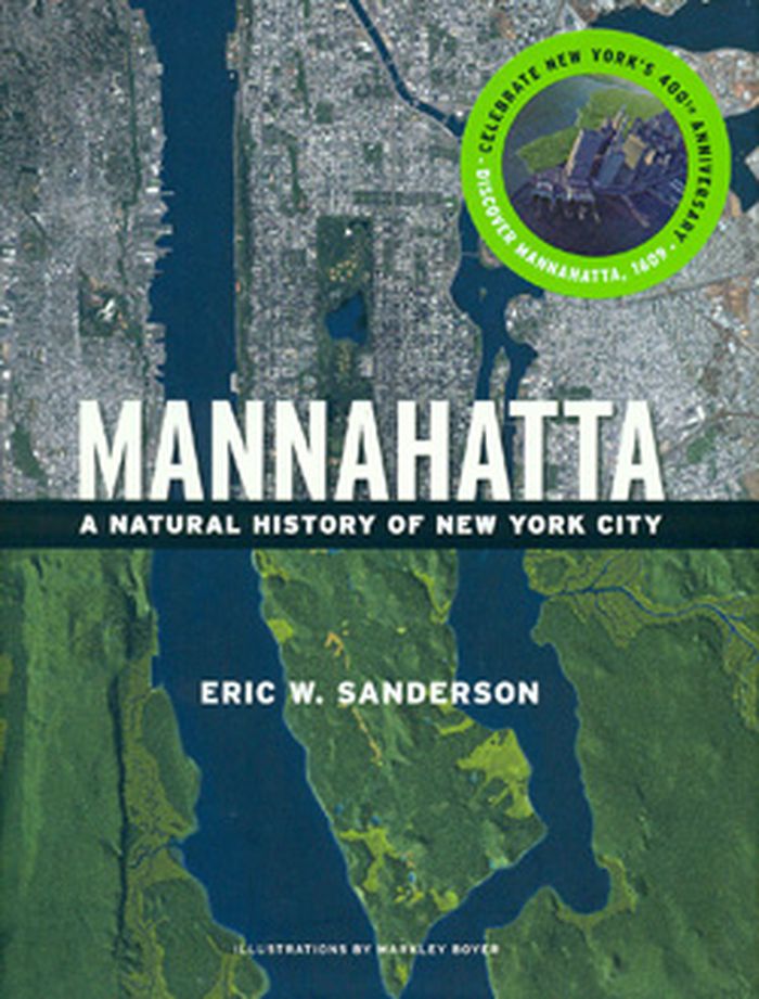
Mannahatta : a natural history of New York City
Actions:
Price:
$44.00
(available to order)
Summary:
This publication is reconstructing, in words and images, the wild island that millions of New Yorkers now call home. By geographically matching an 18th-century map of Manhattan's landscape to the modern cityscape, combing through historical and archaeological records, and applying modern principles of ecology and computer modeling, Sanderson is able to re-create the forests of Times Square, the meadows of Harlem, and the wetlands of downtown.
Form:
books
books
Publication:
May 2009, New York
May 2009, New York
Subject:
Architectural Plans and Cartography
Architectural Plans and Cartography
Form:
books
books
Title:
Mapping England
Mapping England
Actions:
Price:
$59.95
(available to order)
Summary:
England has been continuously mapped from Medieval times to the present; politically, administratively and functionally as well as creatively and imaginatively. Maps have helped to define ideas of what England is and could be. They have developed and maintained its identity amongst other nations and explored its essential character and limits. The maps included show a(...)
Title:
Mapping England
Actions:
Price:
$59.95
(available to order)
Summary:
England has been continuously mapped from Medieval times to the present; politically, administratively and functionally as well as creatively and imaginatively. Maps have helped to define ideas of what England is and could be. They have developed and maintained its identity amongst other nations and explored its essential character and limits. The maps included show a country at times confident but also unsure of itself. Often drawn for purely practical purposes they frequently and unconsciously reveal the true state of the nation, and the hopes and fears of its inhabitants. England has been the crucible for many of the most significant developments in cartography and Mapping England tells the story of how its position in the world has evolved and, in so doing, entails new ways of seeing and expressing such findings in graphic form.
Form:
books
books
Publication:
October 2008
October 2008
Subject:
Architectural Plans and Cartography
Architectural Plans and Cartography
Form:
books
books
Title:
Mappa frontiera
Mappa frontiera
Actions:
Price:
$47.95
(available in store)
Summary:
Longtemps, les frontières furent des marges, des zones d'épaisseur où s'entremêlaient circulations, échanges et rivalités. Avec l'État moderne, elles sont devenues lignes de souveraineté - tracés géométriques, crêtes de montagnes, fleuves ou dispositifs militaires. Simples traits séparant deux territoires ? Ces lignes, même fortifiées, restent au contraire fragiles,(...)
Title:
Mappa frontiera
Actions:
Price:
$47.95
(available in store)
Summary:
Longtemps, les frontières furent des marges, des zones d'épaisseur où s'entremêlaient circulations, échanges et rivalités. Avec l'État moderne, elles sont devenues lignes de souveraineté - tracés géométriques, crêtes de montagnes, fleuves ou dispositifs militaires. Simples traits séparant deux territoires ? Ces lignes, même fortifiées, restent au contraire fragiles, chargées d'histoire, riches de conflits et d'imaginaires. Réunissant philosophe, historien, cartographe, géographe, architecte ou artiste, le collectif Stevenson propose un atlas d'images et de récits autour des lignes qui découpent notre monde. Car tracer une frontière, ce n'est pas seulement séparer, c'est aussi transformer les territoires et façonner jusqu'à nos manières d'habiter la Terre.
Form:
books
books
Publication:
January 2026
January 2026
Subject:
Architectural Plans and Cartography
Architectural Plans and Cartography
Form:
books
books
Title:
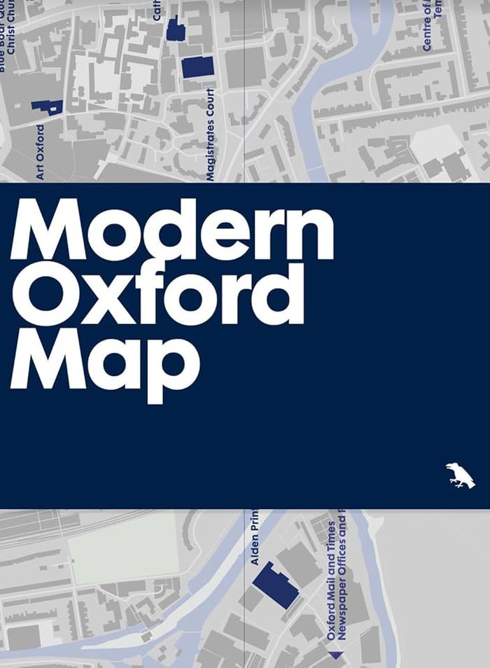
Modern Oxford map
Modern Oxford map
Actions:
Price:
$17.00
(available in store)
Summary:
Our ''Modern Oxford Map'' curates the city’s finest Modernist and Brutalist architecture through a selection of 50 buildings, with an introduction and descriptions by architectural historian Robin Wilson and original photography by Nigel Green. Amidst Oxford’s celebrated historic architecture, you’ll be surprised by the diversity of its Modernist and Brutalist buildings,(...)
Subject:
Architectural Plans and Cartography
Architectural Plans and Cartography
Publication:
September 2024
September 2024
Title:
Modern Oxford map
Actions:
Price:
$17.00
(available in store)
Summary:
Our ''Modern Oxford Map'' curates the city’s finest Modernist and Brutalist architecture through a selection of 50 buildings, with an introduction and descriptions by architectural historian Robin Wilson and original photography by Nigel Green. Amidst Oxford’s celebrated historic architecture, you’ll be surprised by the diversity of its Modernist and Brutalist buildings, which range from architectures of radical new form-making and geometric composition in concrete, innovative mixed-use developments, as well as carefully crafted, contextual interventions into the existing historic fabric.
Form:
books
books
Publication:
September 2024
September 2024
Subject:
Architectural Plans and Cartography
Architectural Plans and Cartography
Form:
books
books
Actions:
Price:
$38.95
(available in store)
Summary:
When Ursula K. Le Guin started writing a new story, she would begin by drawing a map. "The Word for World" presents a selection of these images by the celebrated author, many of which have never been published before, to consider how her imaginary worlds enable us to re-envision our own. Le Guin’s maps offer journeys of consciousness beyond conventional cartography,(...)
Title:
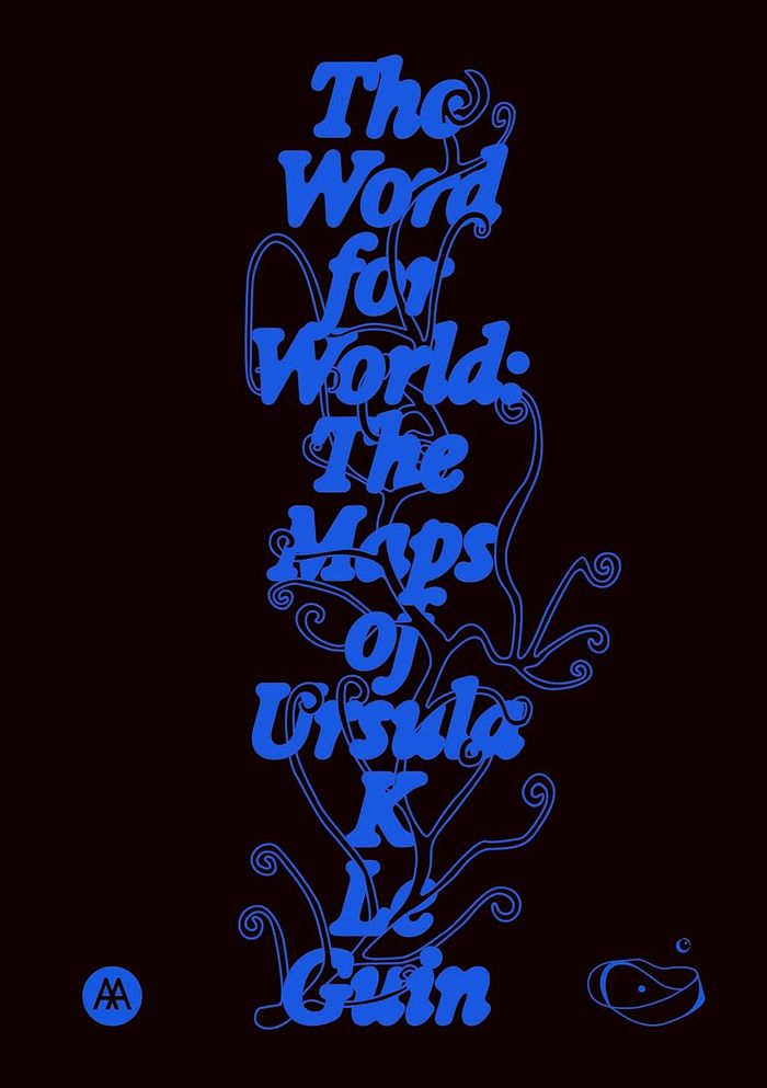
The word for world: The maps of Ursula K. Leguin
Actions:
Price:
$38.95
(available in store)
Summary:
When Ursula K. Le Guin started writing a new story, she would begin by drawing a map. "The Word for World" presents a selection of these images by the celebrated author, many of which have never been published before, to consider how her imaginary worlds enable us to re-envision our own. Le Guin’s maps offer journeys of consciousness beyond conventional cartography, from the Rorschach-like archipelagos of Earthsea to the talismanic maps of "Always Coming Home." Rather than remaining within known terrain, they open up paradigms of knowledge, exemplified by the map’s edges and how a map is read, made and re-made, together. "The Word for World" brings her maps together with poems, stories, interviews, recipes and essays by contributors from a variety of perspectives to enquire into the relationship between worlds and how they are represented and imagined.
Form:
books
books
Publication:
December 2025
December 2025
Subject:
Architectural Plans and Cartography
Architectural Plans and Cartography
Form:
books
books
Title:
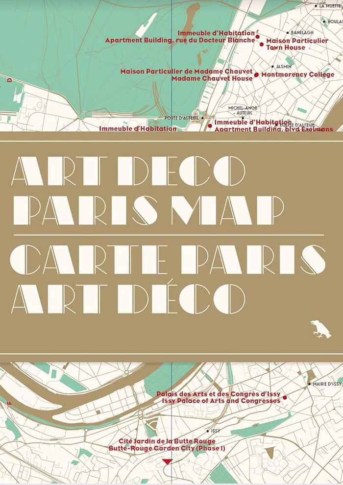
Art Deco Paris map
Art Deco Paris map
Actions:
Price:
$18.95
(available to order)
Summary:
Découvrez des exemples saisissants d'architecture et de décoration Art déco dans tout Paris avec ce guide bilingue. Il comprend une carte, des détails sur 50 bâtiments, une introduction de Robin Wilson et des photographies inédites de Nigel Green. / Discover striking examples of Art Deco architecture and decoration throughout Paris with this bilingual guide; featuring(...)
Title:
Art Deco Paris map
Actions:
Price:
$18.95
(available to order)
Summary:
Découvrez des exemples saisissants d'architecture et de décoration Art déco dans tout Paris avec ce guide bilingue. Il comprend une carte, des détails sur 50 bâtiments, une introduction de Robin Wilson et des photographies inédites de Nigel Green. / Discover striking examples of Art Deco architecture and decoration throughout Paris with this bilingual guide; featuring a map, details of 50 buildings, an introduction by Robin Wilson and original photography by Nigel Green. ''Art Deco Paris Map'' is Blue Crow Media’s latest Paris guide after maps dedicated to Brutalism, Modernism, the Métro and the city’s great trees.
Form:
books
books
Publication:
June 2025
June 2025
Subject:
Architectural Plans and Cartography
Architectural Plans and Cartography