771 Results
Form:
books
books
Actions:
Price:
$60.00
(available to order)
Summary:
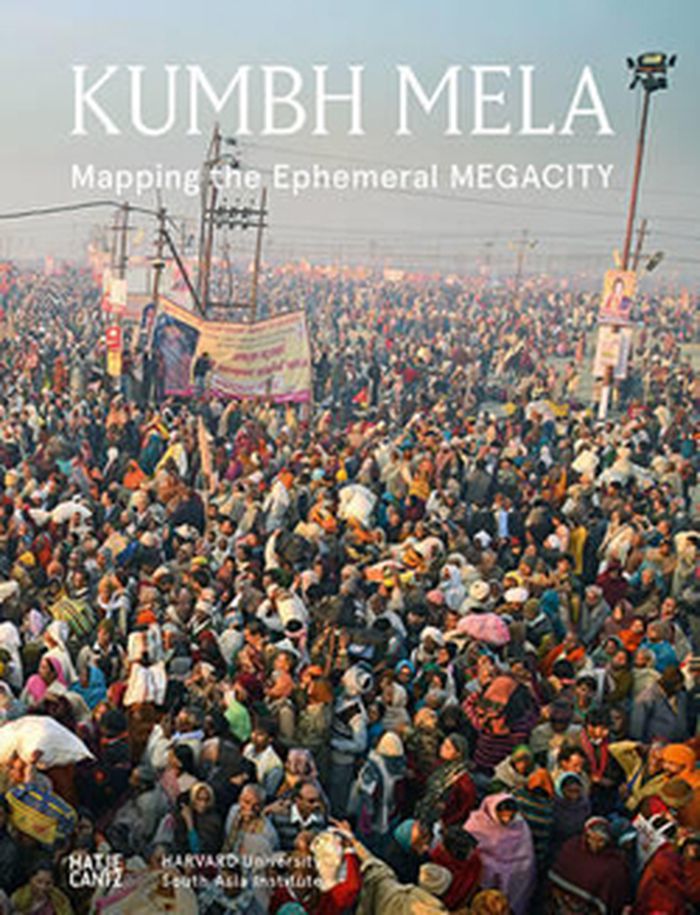
Many people are not familiar with Kumbh Mela, and yet it is the largest celebration on earth: depending on the positions of Jupiter, the sun and the moon, Hindus travel to certain places along holy rivers, the Ganges for example, to bathe and cleanse themselves of sin. With a 2013 attendance of approximately 34 million, the triennial pilgrimage requires that the(...)
$60.00
(available to order)
Summary:
Many people are not familiar with Kumbh Mela, and yet it is the largest celebration on earth: depending on the positions of Jupiter, the sun and the moon, Hindus travel to certain places along holy rivers, the Ganges for example, to bathe and cleanse themselves of sin. With a 2013 attendance of approximately 34 million, the triennial pilgrimage requires that the(...)
Title:
Kumbh Mela: mapping the ephemeral Megacity
Actions:
Price:
$60.00
(available to order)
Summary:
Many people are not familiar with Kumbh Mela, and yet it is the largest celebration on earth: depending on the positions of Jupiter, the sun and the moon, Hindus travel to certain places along holy rivers, the Ganges for example, to bathe and cleanse themselves of sin. With a 2013 attendance of approximately 34 million, the triennial pilgrimage requires that the communities hosting the gatherings create functioning temporary structures to transport, house and feed enormous crowds of people. In 2013, a team from Harvard University monitored the large-scale event from its preparation through to the actual celebration, investigating and documenting the prototypes for flexible urban planning and offering organizers advice on issues around environmental protection. This substantial hardcover presents their comprehensive research findings along with city maps, aerial images and photographs of this most fascinating feat of urban planning.
Form:
books
books
Publication:
August 2015
August 2015
Subject:
Architectural Theory
Architectural Theory
Form:
books
books
Actions:
Price:
$63.00
(available to order)
Summary:
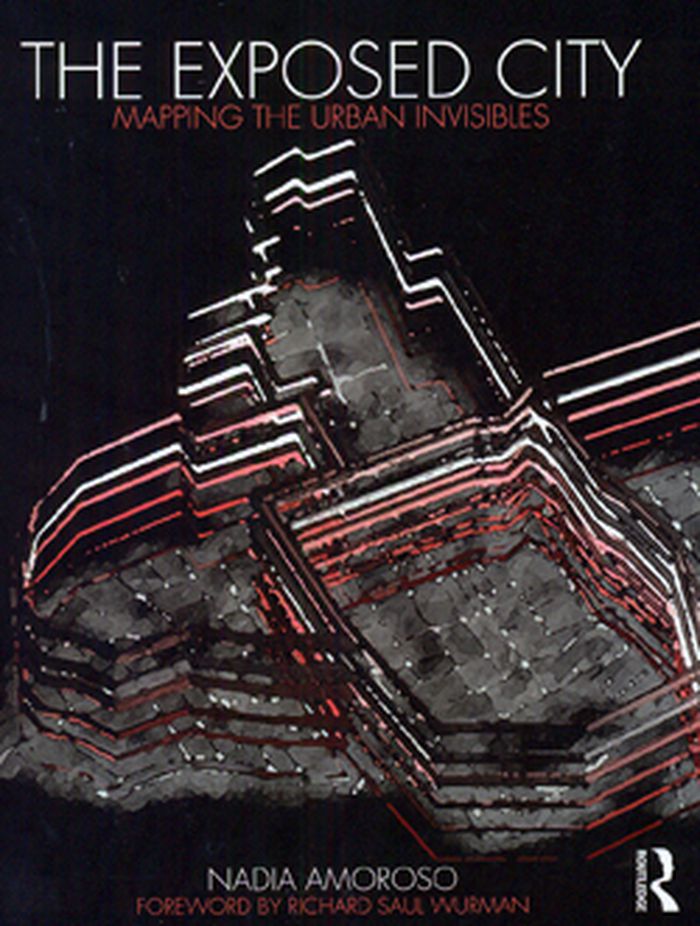
There is a vast amount of information about a city which is invisible to the human eye – crime levels, transportation patterns, cell phone use and air quality to name just a few. If a city was able to be defined by these characteristics, what form would it take? How could it be mapped? Nadia Amoroso tackles these questions by taking statistical urban data and exploring(...)
$63.00
(available to order)
Summary:
There is a vast amount of information about a city which is invisible to the human eye – crime levels, transportation patterns, cell phone use and air quality to name just a few. If a city was able to be defined by these characteristics, what form would it take? How could it be mapped? Nadia Amoroso tackles these questions by taking statistical urban data and exploring(...)
Title:
The exposed city: Mapping the urban invisibles
Actions:
Price:
$63.00
(available to order)
Summary:
There is a vast amount of information about a city which is invisible to the human eye – crime levels, transportation patterns, cell phone use and air quality to name just a few. If a city was able to be defined by these characteristics, what form would it take? How could it be mapped? Nadia Amoroso tackles these questions by taking statistical urban data and exploring how they could be transformed into innovative new maps.
Form:
books
books
Publication:
July 2010
July 2010
Subject:
Urban Theory
Urban Theory
Form:
books
books
Actions:
Holdings:
Description:
175 pages : illustrations ; 18 cm
Description:
175 pages : illustrations ; 18 cm
Author:
Subject:
- Architectural League Prize for Young Architects and Designers,
- Architecture Awards United States.,
- Architecture United States History 21st century.,
- Young architects United States.,
- Jeunes architectes États-Unis.,
- ARCHITECTURE General.,
- Architecture,
- Architecture Awards,
- Young architects,
- United States,
- Exhibition catalogs,
- History
(See more)
Publication:
New York : Princeton Architectural Press : The Architectural League of New York, [2015]
New York : Princeton Architectural Press : The Architectural League of New York, [2015]
Title:
Overlay / foreword by Preston Scott Cohen ; introduction by Anne Rieselbach.
Actions:
Holdings:
Description:
175 pages : illustrations ; 18 cm
Overlay / foreword by Preston Scott Cohen ; introduction by Anne Rieselbach.
Actions:
Holdings:
Description:
175 pages : illustrations ; 18 cm
Form:
books
books
Publication:
New York : Princeton Architectural Press : The Architectural League of New York, [2015]
New York : Princeton Architectural Press : The Architectural League of New York, [2015]
Subject:
- Architectural League Prize for Young Architects and Designers,
- Architecture Awards United States.,
- Architecture United States History 21st century.,
- Young architects United States.,
- Jeunes architectes États-Unis.,
- ARCHITECTURE General.,
- Architecture,
- Architecture Awards,
- Young architects,
- United States,
- Exhibition catalogs,
- History
(See more)
Form:
books
books
Description:
1 online resource
Author:
- Aikens, Nick,,
- Armin, Janine,,
- Aushana, Christina,,
- Badovinac, Zdenka,,
- Borja-Villel, Manuel,,
- Brinkman, Els,,
- Bruguera, Tania,,
- Bueso Fernández, José Manuel,,
- Byrne, John,,
- Carrillo, Jesús,,
- Clausen, Christina,,
- Díaz, Tamara,,
- Diaz, Lara Garcia,,
- Didi-Huberman, Georges,,
- Esche, Charles,,
- Fletcher, Annie,,
- Garcia Diaz, Lara,,
- Gillick, Liam,,
- Guillen, Melinda,,
- Hangya, Zhang,,
- Heeswijk, Jeanne van,,
- Hudson, Alistair,,
- Lange, Thomas,,
- Madole, Rob,,
- Mu, Li,,
- Oldenborgh, Wendelien van,,
- Os-Thompson, Wendy van,,
- Paglen, Trevor,,
- Pelmuş, Manuel,,
- Pethick, Emily,,
- Pirici, Alexandra,,
- Reynolds, Laurie Jo,,
- Rifkin, Adrian,,
- Rodrigues, Nuria,,
- Roy, Roopanjali,,
- Ruskin, John,,
- Sanromán, Lucia,,
- Schröder, Lotte,,
- Seijdel, Jorinde,,
- Simão, Catarina,,
- Stehr, Sara,,
- Stevens, Elke,,
- Thije, Steven ten,,
- Wright, Stephen,,
- Yúdice, George,,
- Constructlab,,
- George&Harrison,,
- Library Stack,,
- Subtramas,,
- WHW,,
- Library Stack.
(See more)
Subject:
Publication:
[Place of publication not identified] : L'Internationale Online, 2016., [Place of publication not identified] : Valiz, 2016.
[Place of publication not identified] : L'Internationale Online, 2016., [Place of publication not identified] : Valiz, 2016.
Title:
What's the Use? Constellations of Art, History, and Knowledge.
Actions:
Description:
1 online resource
What's the Use? Constellations of Art, History, and Knowledge.
Actions:
Description:
1 online resource
Form:
books
books
Publication:
[Place of publication not identified] : L'Internationale Online, 2016., [Place of publication not identified] : Valiz, 2016.
[Place of publication not identified] : L'Internationale Online, 2016., [Place of publication not identified] : Valiz, 2016.
Author:
- Aikens, Nick,,
- Armin, Janine,,
- Aushana, Christina,,
- Badovinac, Zdenka,,
- Borja-Villel, Manuel,,
- Brinkman, Els,,
- Bruguera, Tania,,
- Bueso Fernández, José Manuel,,
- Byrne, John,,
- Carrillo, Jesús,,
- Clausen, Christina,,
- Díaz, Tamara,,
- Diaz, Lara Garcia,,
- Didi-Huberman, Georges,,
- Esche, Charles,,
- Fletcher, Annie,,
- Garcia Diaz, Lara,,
- Gillick, Liam,,
- Guillen, Melinda,,
- Hangya, Zhang,,
- Heeswijk, Jeanne van,,
- Hudson, Alistair,,
- Lange, Thomas,,
- Madole, Rob,,
- Mu, Li,,
- Oldenborgh, Wendelien van,,
- Os-Thompson, Wendy van,,
- Paglen, Trevor,,
- Pelmuş, Manuel,,
- Pethick, Emily,,
- Pirici, Alexandra,,
- Reynolds, Laurie Jo,,
- Rifkin, Adrian,,
- Rodrigues, Nuria,,
- Roy, Roopanjali,,
- Ruskin, John,,
- Sanromán, Lucia,,
- Schröder, Lotte,,
- Seijdel, Jorinde,,
- Simão, Catarina,,
- Stehr, Sara,,
- Stevens, Elke,,
- Thije, Steven ten,,
- Wright, Stephen,,
- Yúdice, George,,
- Constructlab,,
- George&Harrison,,
- Library Stack,,
- Subtramas,,
- WHW,,
- Library Stack.
(See more)
Form:
books
books
Title:
Seeing the better city : how to explore, observe, and improve urban space / Charles R. Wolfe.
Seeing the better city : how to explore, observe, and improve urban space / Charles R. Wolfe.
Actions:
Holdings:
Description:
xviii, 225 pages, [16] unnumbered pages of plates : illustrations (some color) ; 23 cm
Description:
xviii, 225 pages, [16] unnumbered pages of plates : illustrations (some color) ; 23 cm
Title:
Seeing the better city : how to explore, observe, and improve urban space / Charles R. Wolfe.
Actions:
Holdings:
Description:
xviii, 225 pages, [16] unnumbered pages of plates : illustrations (some color) ; 23 cm
Seeing the better city : how to explore, observe, and improve urban space / Charles R. Wolfe.
Actions:
Holdings:
Description:
xviii, 225 pages, [16] unnumbered pages of plates : illustrations (some color) ; 23 cm
Form:
books
books
Publication:
Washington, DC : Island Press, [2016]., ©2016
Washington, DC : Island Press, [2016]., ©2016
Form:
books
books
Actions:
Price:
$160.00
(available in store)
Summary:
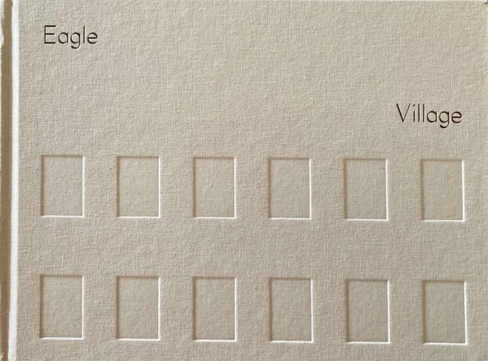
This book presents a set of buildings--27 dormitories, two school buildings, one gymnasium, one chapel, and one maintenance building--the parcel of land they stood on, the people that inhabited them, the temporal space they occupied, the agendas they housed, and the forces that shaped and reshaped them. The buildings established on the southern edge of the small Utah town(...)
$160.00
(available in store)
Summary:
This book presents a set of buildings--27 dormitories, two school buildings, one gymnasium, one chapel, and one maintenance building--the parcel of land they stood on, the people that inhabited them, the temporal space they occupied, the agendas they housed, and the forces that shaped and reshaped them. The buildings established on the southern edge of the small Utah town(...)
Title:
Eagle Village: A deep mapping of fallow architecture
Actions:
Price:
$160.00
(available in store)
Summary:
This book presents a set of buildings--27 dormitories, two school buildings, one gymnasium, one chapel, and one maintenance building--the parcel of land they stood on, the people that inhabited them, the temporal space they occupied, the agendas they housed, and the forces that shaped and reshaped them. The buildings established on the southern edge of the small Utah town of Brigham City, were built as a military hospital by the United States Department of War, repurposed as an off-reservation boarding school by the Bureau of Indian Affairs, and reimagined as a New Urbanist townhome community by a New York-based developer. The photographs visually track the material traces of the boarding school era, what was emerging from the years the property lay fallow, what was to become as the buildings began their transition to a colorful townhome community, and what would emerge after the buildings were demolished.
Form:
books
books
Publication:
December 2025
December 2025
Subject:
Indigenous architecture
Indigenous architecture
Form:
books
books
Price:
$44.00
(available in store)
Summary:
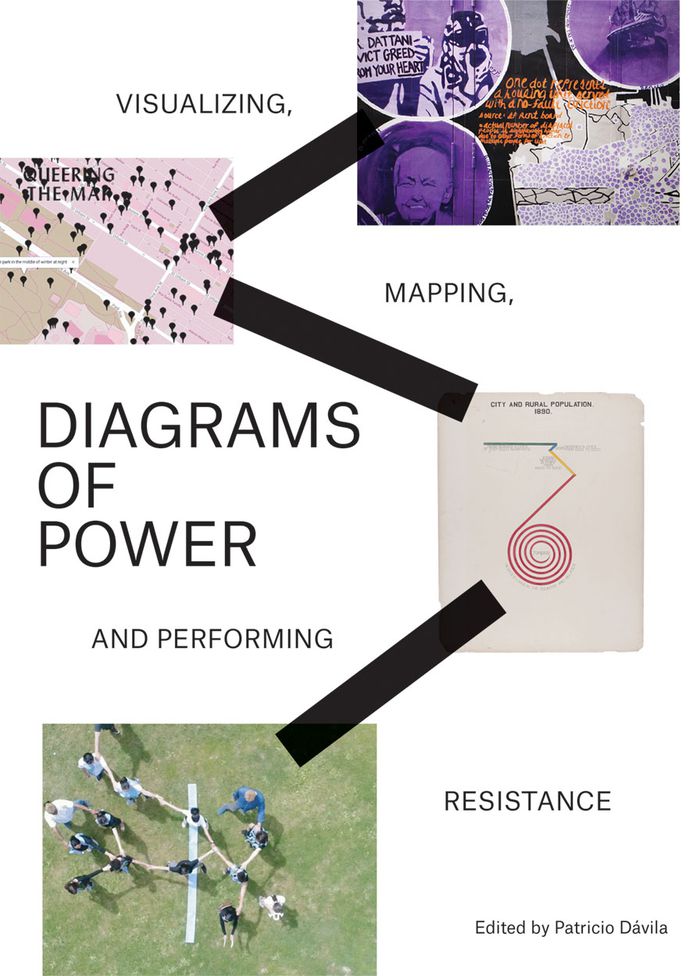
Diagrams of Power collects contemporary artworks and projects that use data, diagrams, maps and visualizations as ways of challenging dominant narratives and supporting the resilience of marginalized communities. The artists and designers featured critique conventionalized and established truths that obscure important histories or perpetuate oppressive regimes; they also(...)
$44.00
(available in store)
Summary:
Diagrams of Power collects contemporary artworks and projects that use data, diagrams, maps and visualizations as ways of challenging dominant narratives and supporting the resilience of marginalized communities. The artists and designers featured critique conventionalized and established truths that obscure important histories or perpetuate oppressive regimes; they also(...)
Title:
Diagrams of power: visualizing, mapping, and performing resistance
Actions:
Price:
$44.00
(available in store)
Summary:
Diagrams of Power collects contemporary artworks and projects that use data, diagrams, maps and visualizations as ways of challenging dominant narratives and supporting the resilience of marginalized communities. The artists and designers featured critique conventionalized and established truths that obscure important histories or perpetuate oppressive regimes; they also contribute to positive social change by engaging communities and providing alternative strategies for storytelling, communication and organizing. Historical and contemporary uses of data and visualization in colonization, surveillance and management are problematized through critical interventions that use performance, embodiment and counternarratives. The publication is the product of an exhibition organized by Onsite Gallery at OCAD University, Toronto, in 2018.
Form:
books
books
Publication:
September 2019
September 2019
Subject:
Art Theory
Art Theory
Form:
books
books
Actions:
Description:
1 online resource
Author:
- Arcangel, Cory,,
- Banks, Eric,,
- Decock, Jeske,,
- Ferguson, Helen,,
- Frank, Sam,,
- Funcke, Bettina,,
- Halter, Ed,,
- Hochdorfer, Achim,,
- Joseph, Branden W.,,
- Kelsey, John,,
- Kuo, Michelle,,
- Kushner, Rachel,,
- Owens, Laura,,
- Parker, Kat,,
- Price, Seth,,
- Reines, Ariana,,
- Ruf, Beatrix,,
- Stols, Stabiens,,
- Wolters, Katie,,
- Wrenn, Eric,,
- Library Stack,
(See more)
Subject:
Publication:
[Place of publication not identified] : Koenig Books, 2017.
[Place of publication not identified] : Koenig Books, 2017.
Form:
books
books
Publication:
[Place of publication not identified] : Koenig Books, 2017.
[Place of publication not identified] : Koenig Books, 2017.
Author:
- Arcangel, Cory,,
- Banks, Eric,,
- Decock, Jeske,,
- Ferguson, Helen,,
- Frank, Sam,,
- Funcke, Bettina,,
- Halter, Ed,,
- Hochdorfer, Achim,,
- Joseph, Branden W.,,
- Kelsey, John,,
- Kuo, Michelle,,
- Kushner, Rachel,,
- Owens, Laura,,
- Parker, Kat,,
- Price, Seth,,
- Reines, Ariana,,
- Ruf, Beatrix,,
- Stols, Stabiens,,
- Wolters, Katie,,
- Wrenn, Eric,,
- Library Stack,
(See more)
Form:
books
books
Actions:
Price:
$28.00
(available to order)
Summary:
In a world increasingly dominated by the digital, the critical response to digital art generally ranges from hype to counterhype. Popular writing about specific artworks seldom goes beyond promoting a given piece and explaining how it operates, while scholars and critics remain unsure about how to interpret and evaluate them. This is where Roberto Simanowski intervenes,(...)
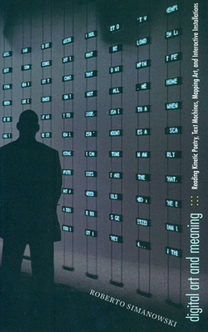
Title:
Digital art and meaning: reading kinetic poetry, text machines, mapping art, and interactive installations
Actions:
Price:
$28.00
(available to order)
Summary:
In a world increasingly dominated by the digital, the critical response to digital art generally ranges from hype to counterhype. Popular writing about specific artworks seldom goes beyond promoting a given piece and explaining how it operates, while scholars and critics remain unsure about how to interpret and evaluate them. This is where Roberto Simanowski intervenes, demonstrating how such critical work can be done. Digital Art and Meaning offers close readings of varied examples from genres of digital art such as kinetic concrete poetry, computer-generated text, interactive installation, mapping art, and information sculpture. For instance, Simanowski deciphers the complex meaning of words that not only form an image on a screen but also react to the viewer’s behavior; images that are progressively destroyed by the human gaze; text machines generating nonsense sentences out of a Kafka story; and a light show above Mexico City’s historic square, created by Internet users all over the world. Simanowski combines these illuminating explanations with a theoretical discussion that employs art philosophy and history to achieve a deeper understanding of each particular example of digital art and, ultimately, of the genre as a whole.
Form:
books
books
Publication:
July 2011
July 2011
Form:
books
books
Actions:
Holdings:
Description:
1 volume : illustrations (black and white) ; 24 cm
Description:
1 volume : illustrations (black and white) ; 24 cm
Title:
CONTESTED TERRITORY OF ARCHITECTURAL THEORY.
Actions:
Holdings:
Description:
1 volume : illustrations (black and white) ; 24 cm
CONTESTED TERRITORY OF ARCHITECTURAL THEORY.
Actions:
Holdings:
Description:
1 volume : illustrations (black and white) ; 24 cm
Form:
books
books
Publication:
[S.l.] : ROUTLEDGE, 2022.
[S.l.] : ROUTLEDGE, 2022.