


716 Results
Form:
books
books
Actions:
Price:
$18.95
(available to order)
Summary:
Explore London through the lens of women’s history. The new Women’s History London Map highlights 50 statues, sculptures, blue plaques, gravestones, buildings and monuments – dedicated to women such as Millicent Garrett Fawcett, Virginia Woolf, Aphra Benn, Ada Lovelace and Phillis Wheatley. With an introduction and descriptions by Katie Wignall, author, city history tour(...)
$18.95
(available to order)
Summary:
Explore London through the lens of women’s history. The new Women’s History London Map highlights 50 statues, sculptures, blue plaques, gravestones, buildings and monuments – dedicated to women such as Millicent Garrett Fawcett, Virginia Woolf, Aphra Benn, Ada Lovelace and Phillis Wheatley. With an introduction and descriptions by Katie Wignall, author, city history tour(...)
Title:
Women's history of London map
Actions:
Price:
$18.95
(available to order)
Summary:
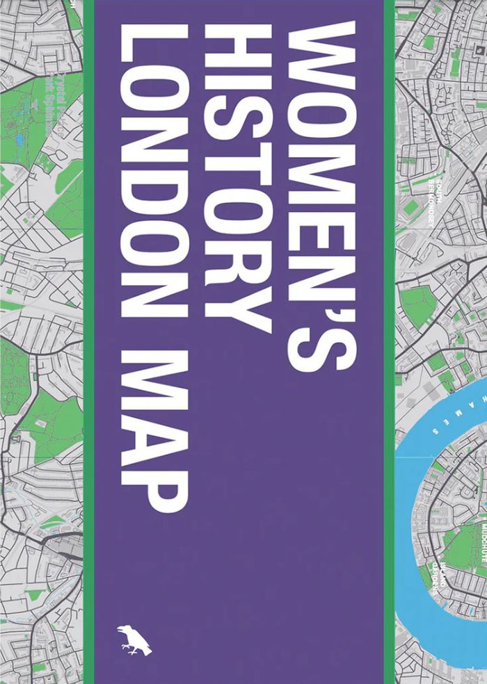
Explore London through the lens of women’s history. The new Women’s History London Map highlights 50 statues, sculptures, blue plaques, gravestones, buildings and monuments – dedicated to women such as Millicent Garrett Fawcett, Virginia Woolf, Aphra Benn, Ada Lovelace and Phillis Wheatley. With an introduction and descriptions by Katie Wignall, author, city history tour guide and Londoner, and original photography by Jo Underhill, the map guide is a companion to begin exploring the lives of some of London’s most impactful women, and to inspire the next generation to continue their work.
Women's history of London map
Actions:
Price:
$18.95
(available to order)
Summary:
Explore London through the lens of women’s history. The new Women’s History London Map highlights 50 statues, sculptures, blue plaques, gravestones, buildings and monuments – dedicated to women such as Millicent Garrett Fawcett, Virginia Woolf, Aphra Benn, Ada Lovelace and Phillis Wheatley. With an introduction and descriptions by Katie Wignall, author, city history tour guide and Londoner, and original photography by Jo Underhill, the map guide is a companion to begin exploring the lives of some of London’s most impactful women, and to inspire the next generation to continue their work.
Form:
books
books
Publication:
June 2024
June 2024
Subject:
Architectural Plans and Cartography
Architectural Plans and Cartography
Form:
books
books
Title:
Atlas inutile de Paris
Atlas inutile de Paris
Actions:
Price:
$30.95
(available to order)
Summary:
À l'origine, il y a Paris. Et un flâneur infatigable qui explore ses deux rives depuis des années. De cette expérience amoureuse, il a distillé au fil des jours 100 cartes incongrues. 100 cartes pour dire tout ce qu'on ne sait pas. 100 cartes pour rêver tout ce qu'on ne voit pas. À l'origine, il y a Paris. Et un flâneur infatigable qui explore ses deux rives depuis des(...)
$30.95
(available to order)
Summary:
À l'origine, il y a Paris. Et un flâneur infatigable qui explore ses deux rives depuis des années. De cette expérience amoureuse, il a distillé au fil des jours 100 cartes incongrues. 100 cartes pour dire tout ce qu'on ne sait pas. 100 cartes pour rêver tout ce qu'on ne voit pas. À l'origine, il y a Paris. Et un flâneur infatigable qui explore ses deux rives depuis des(...)
Title:
Atlas inutile de Paris
Actions:
Price:
$30.95
(available to order)
Summary:
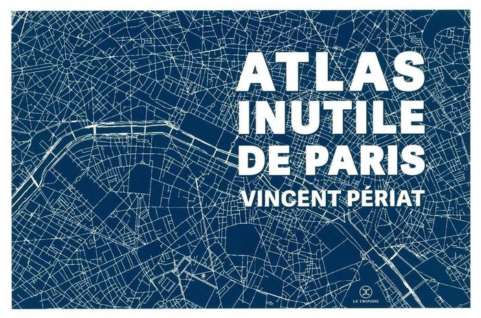
À l'origine, il y a Paris. Et un flâneur infatigable qui explore ses deux rives depuis des années. De cette expérience amoureuse, il a distillé au fil des jours 100 cartes incongrues. 100 cartes pour dire tout ce qu'on ne sait pas. 100 cartes pour rêver tout ce qu'on ne voit pas. À l'origine, il y a Paris. Et un flâneur infatigable qui explore ses deux rives depuis des années. De cette expérience amoureuse, il a distillé au fil des jours 100 cartes incongrues. Sur chacune se dessine une vision : on y découvre ainsi toutes les rues depuis lesquelles on peut apercevoir la Tour Eiffel, celles où les barricades avaient été installées lors de la Commune de 1871, les quartiers définis selon la provenance de l'eau dans votre robinet, les îles disparues que l'on trouvait autrefois sur la Seine, le trajet du premier vol habité (en montgolfière)... Cet "Atlas inutile" est une invitation graphique à un voyage poétique, à la rencontre de choses oubliées, et d'autres qui sont sous notre nez sans qu'on y prête attention. Les cartes se succèdent et s'accumulent dans un plaisir du détail, de l'anecdote et de la contemplation, enfin dans une balade à travers l'inutile, à la (re)découverte d'une ville cent fois immense.
Atlas inutile de Paris
Actions:
Price:
$30.95
(available to order)
Summary:
À l'origine, il y a Paris. Et un flâneur infatigable qui explore ses deux rives depuis des années. De cette expérience amoureuse, il a distillé au fil des jours 100 cartes incongrues. 100 cartes pour dire tout ce qu'on ne sait pas. 100 cartes pour rêver tout ce qu'on ne voit pas. À l'origine, il y a Paris. Et un flâneur infatigable qui explore ses deux rives depuis des années. De cette expérience amoureuse, il a distillé au fil des jours 100 cartes incongrues. Sur chacune se dessine une vision : on y découvre ainsi toutes les rues depuis lesquelles on peut apercevoir la Tour Eiffel, celles où les barricades avaient été installées lors de la Commune de 1871, les quartiers définis selon la provenance de l'eau dans votre robinet, les îles disparues que l'on trouvait autrefois sur la Seine, le trajet du premier vol habité (en montgolfière)... Cet "Atlas inutile" est une invitation graphique à un voyage poétique, à la rencontre de choses oubliées, et d'autres qui sont sous notre nez sans qu'on y prête attention. Les cartes se succèdent et s'accumulent dans un plaisir du détail, de l'anecdote et de la contemplation, enfin dans une balade à travers l'inutile, à la (re)découverte d'une ville cent fois immense.
Form:
books
books
Publication:
September 2024
September 2024
Subject:
Architectural Plans and Cartography
Architectural Plans and Cartography
Form:
books
books
Actions:
Price:
$109.00
(available to order)
Summary:
"Third coast atlas: prelude to a plan" describes the conditions for urbanization across the Great Lakes region. It assembles a multi-layered, empirical description of urbanization processes within the drainage basins of the five Great Lakes and the Saint Lawrence River. This thick description encompasses a range of representational forms including maps, plans, diagrams,(...)
$109.00
(available to order)
Summary:
"Third coast atlas: prelude to a plan" describes the conditions for urbanization across the Great Lakes region. It assembles a multi-layered, empirical description of urbanization processes within the drainage basins of the five Great Lakes and the Saint Lawrence River. This thick description encompasses a range of representational forms including maps, plans, diagrams,(...)
Subject:
Architectural Plans and Cartography
Architectural Plans and Cartography
Publication:
June 2017
June 2017
Title:
Third coast atlas: prelude to a plan
Actions:
Price:
$109.00
(available to order)
Summary:
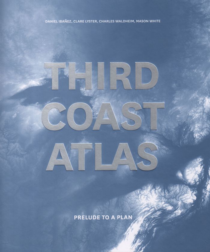
"Third coast atlas: prelude to a plan" describes the conditions for urbanization across the Great Lakes region. It assembles a multi-layered, empirical description of urbanization processes within the drainage basins of the five Great Lakes and the Saint Lawrence River. This thick description encompasses a range of representational forms including maps, plans, diagrams, timelines, and photographs, as well as speculative design research projects and critical texts. Postponing diagnosis, let alone treatment of these conditions, Third Coast Atlas aspires to simply describe. It proposes a new geographic gestalt for urban analysis. Superimposed upon the North American continent, and with easily recognizable yet divergent political and geological borders, this megaregion traverses portions of eight U.S. states and two Canadian provinces, as well as the world’s largest collection of surficial fresh water. Third Coast Atlas characterizes the littoral edge as a distinct field of urbanization, and constructs a reading of the region both specific and speculative.
Third coast atlas: prelude to a plan
Actions:
Price:
$109.00
(available to order)
Summary:
"Third coast atlas: prelude to a plan" describes the conditions for urbanization across the Great Lakes region. It assembles a multi-layered, empirical description of urbanization processes within the drainage basins of the five Great Lakes and the Saint Lawrence River. This thick description encompasses a range of representational forms including maps, plans, diagrams, timelines, and photographs, as well as speculative design research projects and critical texts. Postponing diagnosis, let alone treatment of these conditions, Third Coast Atlas aspires to simply describe. It proposes a new geographic gestalt for urban analysis. Superimposed upon the North American continent, and with easily recognizable yet divergent political and geological borders, this megaregion traverses portions of eight U.S. states and two Canadian provinces, as well as the world’s largest collection of surficial fresh water. Third Coast Atlas characterizes the littoral edge as a distinct field of urbanization, and constructs a reading of the region both specific and speculative.
Form:
books
books
Publication:
June 2017
June 2017
Subject:
Architectural Plans and Cartography
Architectural Plans and Cartography
Form:
books
books
Actions:
Price:
$63.95
(available to order)
Summary:
Instructive, amusing, colorful—pictorial maps have been used and admired since the first medieval cartographer put pen to paper depicting mountains and trees across countries, people and objects around margins, and sea monsters in oceans. More recent generations of pictorial map artists have continued that traditional mixture of whimsy and fact, combining cartographic(...)
$63.95
(available to order)
Summary:
Instructive, amusing, colorful—pictorial maps have been used and admired since the first medieval cartographer put pen to paper depicting mountains and trees across countries, people and objects around margins, and sea monsters in oceans. More recent generations of pictorial map artists have continued that traditional mixture of whimsy and fact, combining cartographic(...)
Title:
Picturing America: the golden age of pictorial maps
Actions:
Price:
$63.95
(available to order)
Summary:
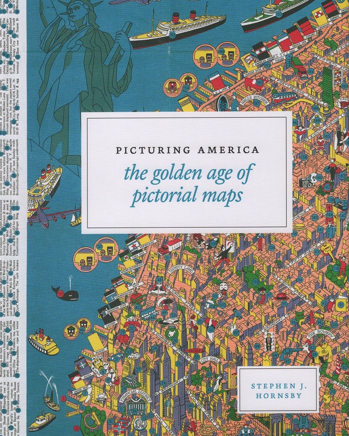
Instructive, amusing, colorful—pictorial maps have been used and admired since the first medieval cartographer put pen to paper depicting mountains and trees across countries, people and objects around margins, and sea monsters in oceans. More recent generations of pictorial map artists have continued that traditional mixture of whimsy and fact, combining cartographic elements with text and images and featuring bold and arresting designs, bright and cheerful colors, and lively detail. In the United States, the art form flourished from the 1920s through the 1970s, when thousands of innovative maps were mass-produced for use as advertisements and decorative objects—the golden age of American pictorial maps. "Picturing America" is the first book to showcase this vivid and popular genre of maps. Geographer Stephen J. Hornsby gathers together 158 delightful pictorial jewels, most drawn from the extensive collections of the Library of Congress. In his informative introduction, Hornsby outlines the development of the cartographic form, identifies several representative artists, describes the process of creating a pictorial map, and considers the significance of the form in the history of Western cartography. Organized into six thematic sections, "Picturing America" covers a vast swath of the pictorial map tradition during its golden age, ranging from “Maps to Amuse” to “Maps for War.” Hornsby has unearthed the most fascinating and visually striking maps the United States has to offer: Disney cartoon maps, college campus maps, kooky state tourism ads, World War II promotional posters, and many more.
Picturing America: the golden age of pictorial maps
Actions:
Price:
$63.95
(available to order)
Summary:
Instructive, amusing, colorful—pictorial maps have been used and admired since the first medieval cartographer put pen to paper depicting mountains and trees across countries, people and objects around margins, and sea monsters in oceans. More recent generations of pictorial map artists have continued that traditional mixture of whimsy and fact, combining cartographic elements with text and images and featuring bold and arresting designs, bright and cheerful colors, and lively detail. In the United States, the art form flourished from the 1920s through the 1970s, when thousands of innovative maps were mass-produced for use as advertisements and decorative objects—the golden age of American pictorial maps. "Picturing America" is the first book to showcase this vivid and popular genre of maps. Geographer Stephen J. Hornsby gathers together 158 delightful pictorial jewels, most drawn from the extensive collections of the Library of Congress. In his informative introduction, Hornsby outlines the development of the cartographic form, identifies several representative artists, describes the process of creating a pictorial map, and considers the significance of the form in the history of Western cartography. Organized into six thematic sections, "Picturing America" covers a vast swath of the pictorial map tradition during its golden age, ranging from “Maps to Amuse” to “Maps for War.” Hornsby has unearthed the most fascinating and visually striking maps the United States has to offer: Disney cartoon maps, college campus maps, kooky state tourism ads, World War II promotional posters, and many more.
Form:
books
books
Publication:
March 2017
March 2017
Subject:
Architectural Plans and Cartography
Architectural Plans and Cartography
Form:
books
books
Actions:
Price:
$35.95
(available to order)
Summary:
Maps are magical. Every graphic, like every story, has a point of view, and New York is rife with mapmaking possibilities, thick with mythology, and glutted with history. "You are here: NYC" assembles some two hundred maps charting every inch and facet of the five boroughs, depicting New Yorks of past and present, and a city that never was. "A nightclub map of Harlem"(...)
$35.95
(available to order)
Summary:
Maps are magical. Every graphic, like every story, has a point of view, and New York is rife with mapmaking possibilities, thick with mythology, and glutted with history. "You are here: NYC" assembles some two hundred maps charting every inch and facet of the five boroughs, depicting New Yorks of past and present, and a city that never was. "A nightclub map of Harlem"(...)
Title:
You are here : NYC mapping the soul of a city
Actions:
Price:
$35.95
(available to order)
Summary:
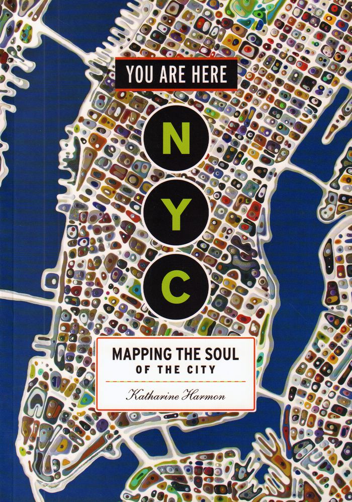
Maps are magical. Every graphic, like every story, has a point of view, and New York is rife with mapmaking possibilities, thick with mythology, and glutted with history. "You are here: NYC" assembles some two hundred maps charting every inch and facet of the five boroughs, depicting New Yorks of past and present, and a city that never was. "A nightclub map of Harlem" traces a boozy night from the Radium and the Cotton Club to the Savoy and then the Lafayette; "Wonders of New York" pinpoints three hundred sites of interest, including the alleged location of Captain Kidd's buried treasure; the Ghostbusters subway map plots the route from Astral Projections Place to Stay Puft Street; and a rejected proposal of ornate topiaries illustrates a Central Park that might have been. This sequel to the best-selling You Are Here includes original essays by Bob Mankoff, Maria Popova, Sarah Boxer, and Rebecca Cooper, among others.
You are here : NYC mapping the soul of a city
Actions:
Price:
$35.95
(available to order)
Summary:
Maps are magical. Every graphic, like every story, has a point of view, and New York is rife with mapmaking possibilities, thick with mythology, and glutted with history. "You are here: NYC" assembles some two hundred maps charting every inch and facet of the five boroughs, depicting New Yorks of past and present, and a city that never was. "A nightclub map of Harlem" traces a boozy night from the Radium and the Cotton Club to the Savoy and then the Lafayette; "Wonders of New York" pinpoints three hundred sites of interest, including the alleged location of Captain Kidd's buried treasure; the Ghostbusters subway map plots the route from Astral Projections Place to Stay Puft Street; and a rejected proposal of ornate topiaries illustrates a Central Park that might have been. This sequel to the best-selling You Are Here includes original essays by Bob Mankoff, Maria Popova, Sarah Boxer, and Rebecca Cooper, among others.
Form:
books
books
Publication:
November 2016
November 2016
Subject:
Architectural Plans and Cartography
Architectural Plans and Cartography
Form:
books
books
Actions:
Price:
$38.95
(available to order)
Summary:
''Nonstop Metropolis'', the culminating volume in a trilogy of atlases, conveys innumerable unbound experiences of New York City through twenty-six imaginative maps and informative essays. Bringing together the insights of dozens of experts—from linguists to music historians, ethnographers, urbanists, and environmental journalists—amplified by cartographers, artists, and(...)
$38.95
(available to order)
Summary:
''Nonstop Metropolis'', the culminating volume in a trilogy of atlases, conveys innumerable unbound experiences of New York City through twenty-six imaginative maps and informative essays. Bringing together the insights of dozens of experts—from linguists to music historians, ethnographers, urbanists, and environmental journalists—amplified by cartographers, artists, and(...)
Subject:
Architectural Plans and Cartography
Architectural Plans and Cartography
Publication:
October 2016
October 2016
Title:
Nonstop metropolis: a New York City atlas
Actions:
Price:
$38.95
(available to order)
Summary:
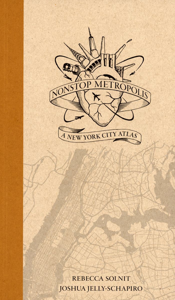
''Nonstop Metropolis'', the culminating volume in a trilogy of atlases, conveys innumerable unbound experiences of New York City through twenty-six imaginative maps and informative essays. Bringing together the insights of dozens of experts—from linguists to music historians, ethnographers, urbanists, and environmental journalists—amplified by cartographers, artists, and photographers, it explores all five boroughs of New York City and parts of nearby New Jersey. We are invited to travel through Manhattan’s playgrounds, from polyglot Queens to many-faceted Brooklyn, and from the resilient Bronx to the mystical kung fu hip-hop mecca of Staten Island.
Nonstop metropolis: a New York City atlas
Actions:
Price:
$38.95
(available to order)
Summary:
''Nonstop Metropolis'', the culminating volume in a trilogy of atlases, conveys innumerable unbound experiences of New York City through twenty-six imaginative maps and informative essays. Bringing together the insights of dozens of experts—from linguists to music historians, ethnographers, urbanists, and environmental journalists—amplified by cartographers, artists, and photographers, it explores all five boroughs of New York City and parts of nearby New Jersey. We are invited to travel through Manhattan’s playgrounds, from polyglot Queens to many-faceted Brooklyn, and from the resilient Bronx to the mystical kung fu hip-hop mecca of Staten Island.
Form:
books
books
Publication:
October 2016
October 2016
Subject:
Architectural Plans and Cartography
Architectural Plans and Cartography
Form:
books
books
Price:
$38.99
(available in store)
Summary:
It is perhaps the eighth wonder of our world that despite modern mapping and satellite photography our planet continues to surprise us. Hidden lairs beneath layers of rock, forgotten cities rising out of deserted lands and even mankind's own feats of engineering eccentricity lie in the most unusual of destinations. Travis Elborough goes in search of the obscure and(...)
$38.99
(available in store)
Summary:
It is perhaps the eighth wonder of our world that despite modern mapping and satellite photography our planet continues to surprise us. Hidden lairs beneath layers of rock, forgotten cities rising out of deserted lands and even mankind's own feats of engineering eccentricity lie in the most unusual of destinations. Travis Elborough goes in search of the obscure and(...)
Title:
Atlas of improbable places: a journey to the world's most unusual corners
Actions:
Price:
$38.99
(available in store)
Summary:
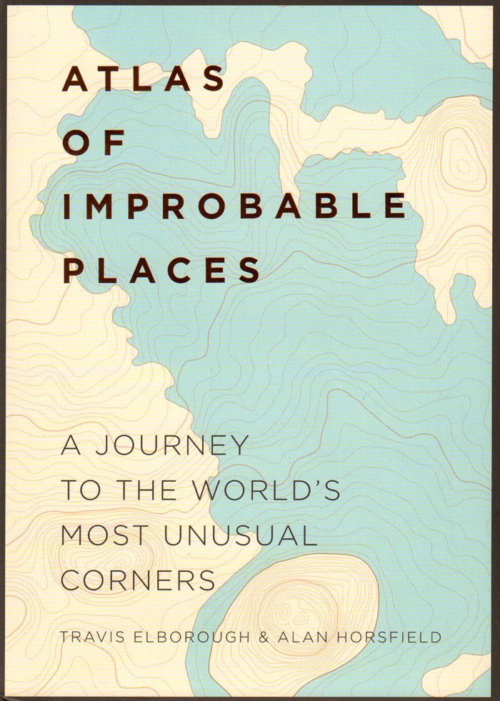
It is perhaps the eighth wonder of our world that despite modern mapping and satellite photography our planet continues to surprise us. Hidden lairs beneath layers of rock, forgotten cities rising out of deserted lands and even mankind's own feats of engineering eccentricity lie in the most unusual of destinations. Travis Elborough goes in search of the obscure and bizarre, the beautiful and estranged. Taking in the defiant relics of ancient cities such as Ani, a once thriving metropolis lost to conquered lands, and the church tower of San Juan Parangaricuto, that miraculously stands as the sole survivor of a town sunk by lava. Through the labyrinths of Berlin and Beijing - underground realms dug for refuge, espionage and even, as Canada's Moose Jaw, used as the playground for gangsters trading liquor and money over cards. Never forgetting the freaks and wonders of nature's own unusual masterpieces: the magical underground river shaped like a dragon's mouth in the Philippines and the floating world of Palmerston. With beautiful maps and stunning photography illustrating each destination, Atlas of Improbable Places is a fascinating voyage to the world's most incredible destinations. As the Island of Dolls and the hauntingly titled Door to Hell - an inextinguishable fire pit - attest, mystery is never far away. The truths and myths behind their creation are as varied as the destinations themselves. Standing as symbols of worship, testaments to kingships or even the strange and wonderful traditions of old and new, these curious places are not just extraordinary sights but reflections on man's own relationship with the world around us
Atlas of improbable places: a journey to the world's most unusual corners
Actions:
Price:
$38.99
(available in store)
Summary:
It is perhaps the eighth wonder of our world that despite modern mapping and satellite photography our planet continues to surprise us. Hidden lairs beneath layers of rock, forgotten cities rising out of deserted lands and even mankind's own feats of engineering eccentricity lie in the most unusual of destinations. Travis Elborough goes in search of the obscure and bizarre, the beautiful and estranged. Taking in the defiant relics of ancient cities such as Ani, a once thriving metropolis lost to conquered lands, and the church tower of San Juan Parangaricuto, that miraculously stands as the sole survivor of a town sunk by lava. Through the labyrinths of Berlin and Beijing - underground realms dug for refuge, espionage and even, as Canada's Moose Jaw, used as the playground for gangsters trading liquor and money over cards. Never forgetting the freaks and wonders of nature's own unusual masterpieces: the magical underground river shaped like a dragon's mouth in the Philippines and the floating world of Palmerston. With beautiful maps and stunning photography illustrating each destination, Atlas of Improbable Places is a fascinating voyage to the world's most incredible destinations. As the Island of Dolls and the hauntingly titled Door to Hell - an inextinguishable fire pit - attest, mystery is never far away. The truths and myths behind their creation are as varied as the destinations themselves. Standing as symbols of worship, testaments to kingships or even the strange and wonderful traditions of old and new, these curious places are not just extraordinary sights but reflections on man's own relationship with the world around us
Form:
books
books
Publication:
October 2016
October 2016
Subject:
Architectural Plans and Cartography
Architectural Plans and Cartography
Form:
books
books
Title:
Mapping England
Mapping England
Actions:
Price:
$59.95
(available to order)
Summary:
England has been continuously mapped from Medieval times to the present; politically, administratively and functionally as well as creatively and imaginatively. Maps have helped to define ideas of what England is and could be. They have developed and maintained its identity amongst other nations and explored its essential character and limits. The maps included show a(...)
$59.95
(available to order)
Summary:
England has been continuously mapped from Medieval times to the present; politically, administratively and functionally as well as creatively and imaginatively. Maps have helped to define ideas of what England is and could be. They have developed and maintained its identity amongst other nations and explored its essential character and limits. The maps included show a(...)
Title:
Mapping England
Actions:
Price:
$59.95
(available to order)
Summary:
England has been continuously mapped from Medieval times to the present; politically, administratively and functionally as well as creatively and imaginatively. Maps have helped to define ideas of what England is and could be. They have developed and maintained its identity amongst other nations and explored its essential character and limits. The maps included show a country at times confident but also unsure of itself. Often drawn for purely practical purposes they frequently and unconsciously reveal the true state of the nation, and the hopes and fears of its inhabitants. England has been the crucible for many of the most significant developments in cartography and Mapping England tells the story of how its position in the world has evolved and, in so doing, entails new ways of seeing and expressing such findings in graphic form.
Mapping England
Actions:
Price:
$59.95
(available to order)
Summary:
England has been continuously mapped from Medieval times to the present; politically, administratively and functionally as well as creatively and imaginatively. Maps have helped to define ideas of what England is and could be. They have developed and maintained its identity amongst other nations and explored its essential character and limits. The maps included show a country at times confident but also unsure of itself. Often drawn for purely practical purposes they frequently and unconsciously reveal the true state of the nation, and the hopes and fears of its inhabitants. England has been the crucible for many of the most significant developments in cartography and Mapping England tells the story of how its position in the world has evolved and, in so doing, entails new ways of seeing and expressing such findings in graphic form.
Form:
books
books
Publication:
October 2008
October 2008
Subject:
Architectural Plans and Cartography
Architectural Plans and Cartography
Form:
books
books
Actions:
Price:
$32.95
(available to order)
Summary:
Published to coincide with an exhibition at Chicago’s Newberry Library, Mapping Manifest Destiny: Chicago and the American West charts the historic role maps have played in imagining, understanding, promoting, and exploiting the Western frontier of North America. Featuring more than sixty full-color maps and views from the sixteenth through the twentieth centuries, this(...)
$32.95
(available to order)
Summary:
Published to coincide with an exhibition at Chicago’s Newberry Library, Mapping Manifest Destiny: Chicago and the American West charts the historic role maps have played in imagining, understanding, promoting, and exploiting the Western frontier of North America. Featuring more than sixty full-color maps and views from the sixteenth through the twentieth centuries, this(...)
Subject:
Architectural Plans and Cartography
Architectural Plans and Cartography
Publication:
August 2008, Chicago
August 2008, Chicago
Title:
Mapping manifest destiny: Chicago and the American West
Actions:
Price:
$32.95
(available to order)
Summary:
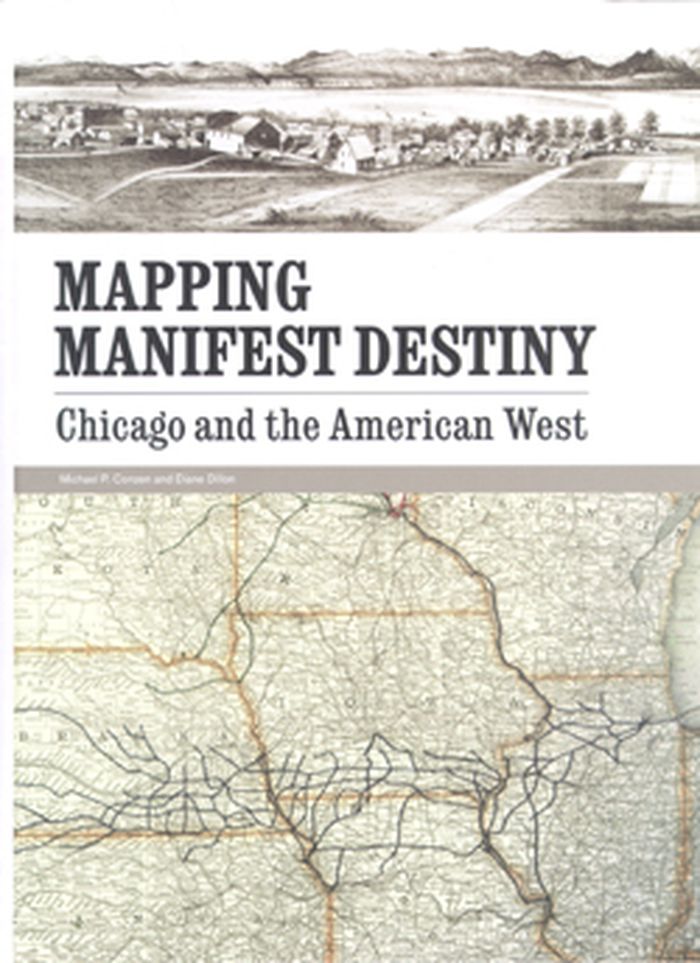
Published to coincide with an exhibition at Chicago’s Newberry Library, Mapping Manifest Destiny: Chicago and the American West charts the historic role maps have played in imagining, understanding, promoting, and exploiting the Western frontier of North America. Featuring more than sixty full-color maps and views from the sixteenth through the twentieth centuries, this fascinating book documents how maps encouraged Euro-Americans to see the West as a land of promise. Maps helped visualize a nation destined to expand across the continent to the Pacific Ocean. Curators Michael P. Conzen and Diane Dillon present an interpretively rich, carefully researched selection of items drawing on the Newberry’s superb collections of historic maps and Western Americana. They have organized the book into four sections: maps for empire, maps for building a new nation, maps for enlightenment, and maps for business.
Mapping manifest destiny: Chicago and the American West
Actions:
Price:
$32.95
(available to order)
Summary:
Published to coincide with an exhibition at Chicago’s Newberry Library, Mapping Manifest Destiny: Chicago and the American West charts the historic role maps have played in imagining, understanding, promoting, and exploiting the Western frontier of North America. Featuring more than sixty full-color maps and views from the sixteenth through the twentieth centuries, this fascinating book documents how maps encouraged Euro-Americans to see the West as a land of promise. Maps helped visualize a nation destined to expand across the continent to the Pacific Ocean. Curators Michael P. Conzen and Diane Dillon present an interpretively rich, carefully researched selection of items drawing on the Newberry’s superb collections of historic maps and Western Americana. They have organized the book into four sections: maps for empire, maps for building a new nation, maps for enlightenment, and maps for business.
Form:
books
books
Publication:
August 2008, Chicago
August 2008, Chicago
Subject:
Architectural Plans and Cartography
Architectural Plans and Cartography
Form:
books
books
Actions:
Price:
$71.95
(available to order)
Summary:
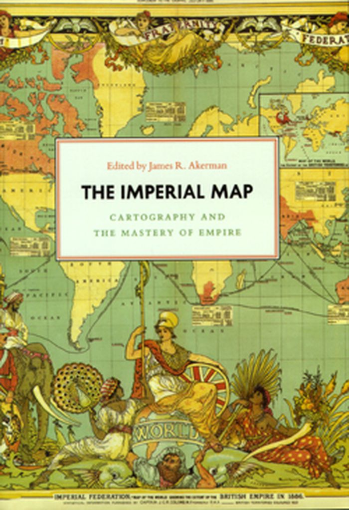
Critically reflecting on elements of mapping and imperialism from the late seventeenth century to the early twentieth century, the essays discuss the nature of the imperial map through a series of case studies of empires, from the Qing dynasty of China, to the Portuguese empire in South America, to American imperial pretensions in the Pacific Ocean, among others.(...)
$71.95
(available to order)
Summary:
Critically reflecting on elements of mapping and imperialism from the late seventeenth century to the early twentieth century, the essays discuss the nature of the imperial map through a series of case studies of empires, from the Qing dynasty of China, to the Portuguese empire in South America, to American imperial pretensions in the Pacific Ocean, among others.(...)
Subject:
Architectural Plans and Cartography
Architectural Plans and Cartography
Publication:
January 2009, Chicago
January 2009, Chicago
Title:
The imperial map cartography and the mastery of empire
Actions:
Price:
$71.95
(available to order)
Summary:
Critically reflecting on elements of mapping and imperialism from the late seventeenth century to the early twentieth century, the essays discuss the nature of the imperial map through a series of case studies of empires, from the Qing dynasty of China, to the Portuguese empire in South America, to American imperial pretensions in the Pacific Ocean, among others. Collectively, the essays reveal that the relationship between mapping and imperialism, as well as the practice of political and economic domination of weak polities by stronger ones, is a rich and complex historical theme that continues to resonate in our modern day.
The imperial map cartography and the mastery of empire
Actions:
Price:
$71.95
(available to order)
Summary:
Critically reflecting on elements of mapping and imperialism from the late seventeenth century to the early twentieth century, the essays discuss the nature of the imperial map through a series of case studies of empires, from the Qing dynasty of China, to the Portuguese empire in South America, to American imperial pretensions in the Pacific Ocean, among others. Collectively, the essays reveal that the relationship between mapping and imperialism, as well as the practice of political and economic domination of weak polities by stronger ones, is a rich and complex historical theme that continues to resonate in our modern day.
Form:
books
books
Publication:
January 2009, Chicago
January 2009, Chicago
Subject:
Architectural Plans and Cartography
Architectural Plans and Cartography


