


6780 Results
Form:
books
books
Title:
Maps and politics
Maps and politics
Actions:
Price:
$22.00
(available to order)
Summary:
Do maps accurately and objectively present the information we expect them to portray, or are they instead colored by the political purposes of their makers? In this lively and well-illustrated book, Jeremy Black investigates this dangerous territory, arguing persuasively that the supposed "objectivity" of the map-making and map-using process cannot be divorced from(...)
$22.00
(available to order)
Summary:
Do maps accurately and objectively present the information we expect them to portray, or are they instead colored by the political purposes of their makers? In this lively and well-illustrated book, Jeremy Black investigates this dangerous territory, arguing persuasively that the supposed "objectivity" of the map-making and map-using process cannot be divorced from(...)
Title:
Maps and politics
Actions:
Price:
$22.00
(available to order)
Summary:
Do maps accurately and objectively present the information we expect them to portray, or are they instead colored by the political purposes of their makers? In this lively and well-illustrated book, Jeremy Black investigates this dangerous territory, arguing persuasively that the supposed "objectivity" of the map-making and map-using process cannot be divorced from aspects of the politics of representation.
Maps and politics
Actions:
Price:
$22.00
(available to order)
Summary:
Do maps accurately and objectively present the information we expect them to portray, or are they instead colored by the political purposes of their makers? In this lively and well-illustrated book, Jeremy Black investigates this dangerous territory, arguing persuasively that the supposed "objectivity" of the map-making and map-using process cannot be divorced from aspects of the politics of representation.
Form:
books
books
Publication:
October 2003, Chicago / London
October 2003, Chicago / London
Subject:
Architectural Drawing
Architectural Drawing
Form:
books
books
Actions:
Price:
$63.00
(available to order)
Summary:
366 cartograms cover a vast array of subjects, providing a definitive reference on how regions and countries compare in resources, production, consumption, and more. Advances in technology have made widespread and detailed data gathering easier, resulting in a deluge of statistics on subjects as diverse as literacy rates, military spending, overweight children,(...)
$63.00
(available to order)
Summary:
366 cartograms cover a vast array of subjects, providing a definitive reference on how regions and countries compare in resources, production, consumption, and more. Advances in technology have made widespread and detailed data gathering easier, resulting in a deluge of statistics on subjects as diverse as literacy rates, military spending, overweight children,(...)
Subject:
Architectural Drawing
Architectural Drawing
Publication:
October 2008, New York
October 2008, New York
Title:
The atlas of the real world: mapping the way we live
Actions:
Price:
$63.00
(available to order)
Summary:
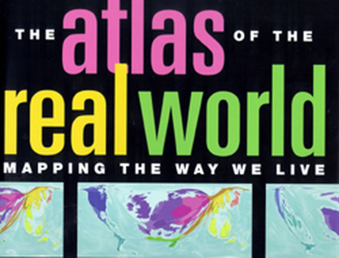
366 cartograms cover a vast array of subjects, providing a definitive reference on how regions and countries compare in resources, production, consumption, and more. Advances in technology have made widespread and detailed data gathering easier, resulting in a deluge of statistics on subjects as diverse as literacy rates, military spending, overweight children, television viewing figures, and endangered species. But how do we represent and compare data from one part of the world to another in a useful way? Here, sophisticated software combined with comprehensive analysis of every aspect of life represents the world as it really is. Digitally modified maps depict the areas and countries of the world not by their physical size but by their demographic importance on a vast range of topics. The rainforests of South America, with thirty percent of the world's fresh water, make the continent balloon in an analysis of water resources, whereas Kuwait, dependent on desalinated seawater, disappears from the map. Fuel use, alcohol consumption, population, malaria: here are hundreds of key indicators to the way we live. This innovative and exceptionally accessible reference work will be an indispensable tool for journalists, economists, marketers, politicians, financiers, environmentalists, and scholars. Its cartograms are augmented by graphs, tables, and full commentaries. 366 color maps. About the Author Daniel Dorling is Professor of Human Geography at the University of Sheffield, England. Mark Newman is Assistant Professor of Physics and Complex Systems at the University of Michigan. Anna Barford is a Research Associate at the University of Sheffield.
The atlas of the real world: mapping the way we live
Actions:
Price:
$63.00
(available to order)
Summary:
366 cartograms cover a vast array of subjects, providing a definitive reference on how regions and countries compare in resources, production, consumption, and more. Advances in technology have made widespread and detailed data gathering easier, resulting in a deluge of statistics on subjects as diverse as literacy rates, military spending, overweight children, television viewing figures, and endangered species. But how do we represent and compare data from one part of the world to another in a useful way? Here, sophisticated software combined with comprehensive analysis of every aspect of life represents the world as it really is. Digitally modified maps depict the areas and countries of the world not by their physical size but by their demographic importance on a vast range of topics. The rainforests of South America, with thirty percent of the world's fresh water, make the continent balloon in an analysis of water resources, whereas Kuwait, dependent on desalinated seawater, disappears from the map. Fuel use, alcohol consumption, population, malaria: here are hundreds of key indicators to the way we live. This innovative and exceptionally accessible reference work will be an indispensable tool for journalists, economists, marketers, politicians, financiers, environmentalists, and scholars. Its cartograms are augmented by graphs, tables, and full commentaries. 366 color maps. About the Author Daniel Dorling is Professor of Human Geography at the University of Sheffield, England. Mark Newman is Assistant Professor of Physics and Complex Systems at the University of Michigan. Anna Barford is a Research Associate at the University of Sheffield.
Form:
books
books
Publication:
October 2008, New York
October 2008, New York
Subject:
Architectural Drawing
Architectural Drawing
Form:
books
books

Actions:
Price:
$95.00
(available to order)
Summary:
"Volume 3 shows the details of some of the most complex RR terminals in the USA, such as Chicago, Detroit, Cincinnati, Cleveland, Columbus, etc. In recent years, all of those layouts have been greatly reduced, due to mergers and changes in types of traffic. So the 1946 Atlas will be a suitable 'monument to what once was' -- at the peak of railroad passenger and local(...)
$95.00
(available to order)
Summary:
"Volume 3 shows the details of some of the most complex RR terminals in the USA, such as Chicago, Detroit, Cincinnati, Cleveland, Columbus, etc. In recent years, all of those layouts have been greatly reduced, due to mergers and changes in types of traffic. So the 1946 Atlas will be a suitable 'monument to what once was' -- at the peak of railroad passenger and local(...)
Title:
A railroad of the United States in 1946, vol 3, Indiana, Lower Michigan & Ohio
Actions:
Price:
$95.00
(available to order)
Summary:
"Volume 3 shows the details of some of the most complex RR terminals in the USA, such as Chicago, Detroit, Cincinnati, Cleveland, Columbus, etc. In recent years, all of those layouts have been greatly reduced, due to mergers and changes in types of traffic. So the 1946 Atlas will be a suitable 'monument to what once was' -- at the peak of railroad passenger and local freight activity!" -- Richard B. Hasselman, Senior Vice President of Operations, CONRAIL
A railroad of the United States in 1946, vol 3, Indiana, Lower Michigan & Ohio
Actions:
Price:
$95.00
(available to order)
Summary:
"Volume 3 shows the details of some of the most complex RR terminals in the USA, such as Chicago, Detroit, Cincinnati, Cleveland, Columbus, etc. In recent years, all of those layouts have been greatly reduced, due to mergers and changes in types of traffic. So the 1946 Atlas will be a suitable 'monument to what once was' -- at the peak of railroad passenger and local freight activity!" -- Richard B. Hasselman, Senior Vice President of Operations, CONRAIL
Form:
books
books
Publication:
November 2008, Baltimore
November 2008, Baltimore
Subject:
Architectural Drawing
Architectural Drawing
Form:
books
books
Title:
London: a life in maps
London: a life in maps
Actions:
Price:
$29.95
(available to order)
Summary:
Approximately 100 important maps from the mid-sisteenth century to the present day are illutrated and discussed in this book. For all those who know London, but who wish to look behind the modern façade.
$29.95
(available to order)
Summary:
Approximately 100 important maps from the mid-sisteenth century to the present day are illutrated and discussed in this book. For all those who know London, but who wish to look behind the modern façade.
Title:
London: a life in maps
Actions:
Price:
$29.95
(available to order)
Summary:
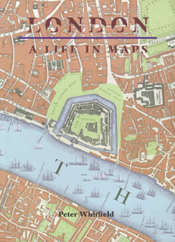
Approximately 100 important maps from the mid-sisteenth century to the present day are illutrated and discussed in this book. For all those who know London, but who wish to look behind the modern façade.
London: a life in maps
Actions:
Price:
$29.95
(available to order)
Summary:
Approximately 100 important maps from the mid-sisteenth century to the present day are illutrated and discussed in this book. For all those who know London, but who wish to look behind the modern façade.
Form:
books
books
Publication:
June 2008, London
June 2008, London
Subject:
Architectural Drawing
Architectural Drawing
Form:
books
books
Price:
$45.95
(available to order)
Summary:
First published in 1932, and now in its eleventh edition, this book is a definitive technical reference for architects.
$45.95
(available to order)
Summary:
First published in 1932, and now in its eleventh edition, this book is a definitive technical reference for architects.
Subject:
Architectural Drawing
Architectural Drawing
Publication:
September 2008, Cambridge
September 2008, Cambridge
Title:
Drafting culture: a social history of architectural graphic standards
Actions:
Price:
$45.95
(available to order)
Summary:
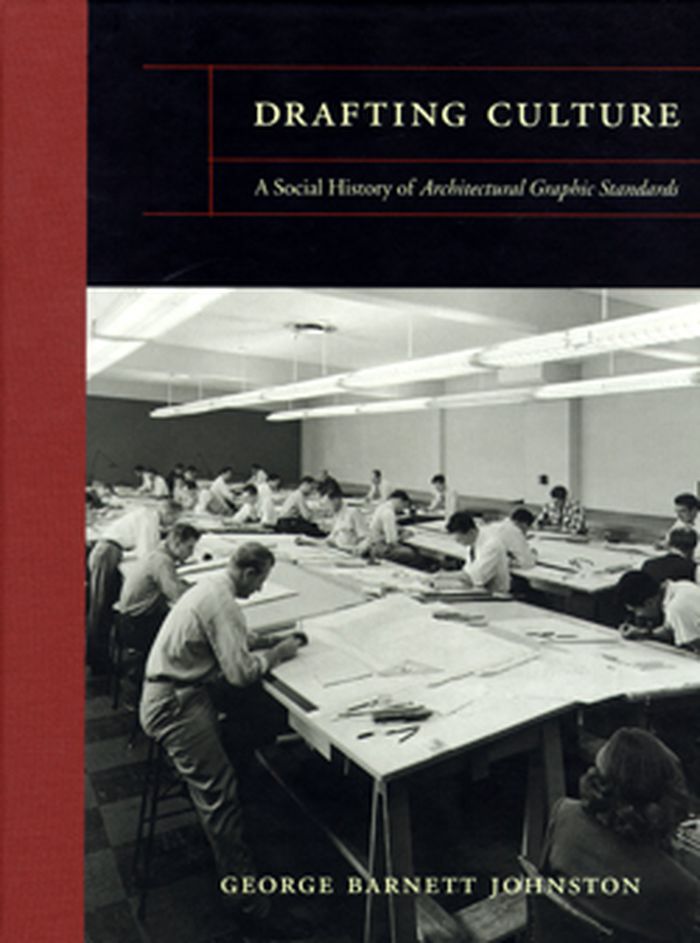
First published in 1932, and now in its eleventh edition, this book is a definitive technical reference for architects.
Drafting culture: a social history of architectural graphic standards
Actions:
Price:
$45.95
(available to order)
Summary:
First published in 1932, and now in its eleventh edition, this book is a definitive technical reference for architects.
Form:
books
books
Publication:
September 2008, Cambridge
September 2008, Cambridge
Subject:
Architectural Drawing
Architectural Drawing
Form:
books
books
Price:
$33.00
(available in store)
Summary:
Including 4-col. Russian folktale in inside cover. Drafting Defeat is a collection of highly stylized 10th century maps of the Middle East with the legends that accompanied them in a 1933 Soviet edition of Nasser Khosrows Safarnameh (Book of Travels).
$33.00
(available in store)
Summary:
Including 4-col. Russian folktale in inside cover. Drafting Defeat is a collection of highly stylized 10th century maps of the Middle East with the legends that accompanied them in a 1933 Soviet edition of Nasser Khosrows Safarnameh (Book of Travels).
Title:
Drafting defeat: 10th century road maps & 21st century disasters
Actions:
Price:
$33.00
(available in store)
Summary:
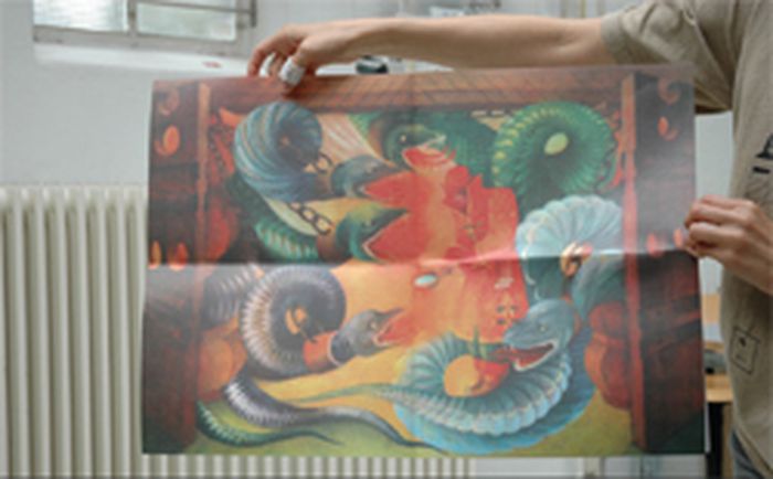
Including 4-col. Russian folktale in inside cover. Drafting Defeat is a collection of highly stylized 10th century maps of the Middle East with the legends that accompanied them in a 1933 Soviet edition of Nasser Khosrows Safarnameh (Book of Travels).
Drafting defeat: 10th century road maps & 21st century disasters
Actions:
Price:
$33.00
(available in store)
Summary:
Including 4-col. Russian folktale in inside cover. Drafting Defeat is a collection of highly stylized 10th century maps of the Middle East with the legends that accompanied them in a 1933 Soviet edition of Nasser Khosrows Safarnameh (Book of Travels).
Form:
books
books
Publication:
October 2007, Moscow/Amsterdam
October 2007, Moscow/Amsterdam
Subject:
Architectural Drawing
Architectural Drawing
Form:
books
books
Title:
Lines: a brief history
Lines: a brief history
Actions:
Price:
$49.50
(available to order)
Summary:
This is the first book to explore the production and significance of lines. As walking, talking, gesticulating creatures, human beings generate lines wherever they go: here, Ingold lays the foundations for an anthropological archaeology of the line. He investigates: speech and song in the cultures of Papua New Guinea, the Navaho and Meso America; paths, trails and maps(...)
$49.50
(available to order)
Summary:
This is the first book to explore the production and significance of lines. As walking, talking, gesticulating creatures, human beings generate lines wherever they go: here, Ingold lays the foundations for an anthropological archaeology of the line. He investigates: speech and song in the cultures of Papua New Guinea, the Navaho and Meso America; paths, trails and maps(...)
Title:
Lines: a brief history
Actions:
Price:
$49.50
(available to order)
Summary:
This is the first book to explore the production and significance of lines. As walking, talking, gesticulating creatures, human beings generate lines wherever they go: here, Ingold lays the foundations for an anthropological archaeology of the line. He investigates: speech and song in the cultures of Papua New Guinea, the Navaho and Meso America; paths, trails and maps drawing, writing and calligraphy; and the modern and postmodern world. Written by a leading expert in the field and including over seventy illustrations, this text offers a radically different approach to anthropological and archaeological studies, taking us on a journey which will change the way we look at the world and how we move within it, and archaeological studies.
Lines: a brief history
Actions:
Price:
$49.50
(available to order)
Summary:
This is the first book to explore the production and significance of lines. As walking, talking, gesticulating creatures, human beings generate lines wherever they go: here, Ingold lays the foundations for an anthropological archaeology of the line. He investigates: speech and song in the cultures of Papua New Guinea, the Navaho and Meso America; paths, trails and maps drawing, writing and calligraphy; and the modern and postmodern world. Written by a leading expert in the field and including over seventy illustrations, this text offers a radically different approach to anthropological and archaeological studies, taking us on a journey which will change the way we look at the world and how we move within it, and archaeological studies.
Form:
books
books
Publication:
July 2007, New York
July 2007, New York
Subject:
Architectural Drawing
Architectural Drawing
Form:
books
books
Actions:
Price:
$97.90
(available in store)
Summary:
The sketch is a window into the architects mind. As creative designers, architects are interested in how other architects, particularly successful ones, think through the use of drawings to approach their work. Historically designers have sought inspiration for their own work through an insight into the minds and workings of people they often regard as geniuses. This(...)
$97.90
(available in store)
Summary:
The sketch is a window into the architects mind. As creative designers, architects are interested in how other architects, particularly successful ones, think through the use of drawings to approach their work. Historically designers have sought inspiration for their own work through an insight into the minds and workings of people they often regard as geniuses. This(...)
Title:
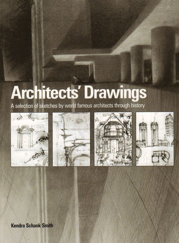
Architects' drawings: a selection of sketches by world famous archittects through history
Actions:
Price:
$97.90
(available in store)
Summary:
The sketch is a window into the architects mind. As creative designers, architects are interested in how other architects, particularly successful ones, think through the use of drawings to approach their work. Historically designers have sought inspiration for their own work through an insight into the minds and workings of people they often regard as geniuses. This collection of sketches aims to provide this insight. Here for the first time, a wide range of world famous architects' sketches from the Renaissance to the present day can be seen in a single volume. The sketches have been selected to represent the concepts or philosophies of the key movements in architecture in order to develop an overall picture of the role of the sketch in the development of architecture. The book illustrates the work of designers as diverse as Andrea Palladio, Erich Mendelsohn, Sir Edwin Lutyens, Gianlorenzo Bernini, Le Corbusier, Michelangelo, Alvar Aalto, Sir John Soane, Francesco Borromini, Walter Gropius, and contemporary architects Tadao Ando, Zaha Hadid and Frank Gehry to name but a few. Each chronologically placed sketch is accompanied by text providing details about the architect’s life, a look at the sketch in context, and the connection to specific buildings where appropriate. Style, media and meaning are also discussed, developing an explanation of the architect’s thinking and intentions.
Architects' drawings: a selection of sketches by world famous archittects through history
Actions:
Price:
$97.90
(available in store)
Summary:
The sketch is a window into the architects mind. As creative designers, architects are interested in how other architects, particularly successful ones, think through the use of drawings to approach their work. Historically designers have sought inspiration for their own work through an insight into the minds and workings of people they often regard as geniuses. This collection of sketches aims to provide this insight. Here for the first time, a wide range of world famous architects' sketches from the Renaissance to the present day can be seen in a single volume. The sketches have been selected to represent the concepts or philosophies of the key movements in architecture in order to develop an overall picture of the role of the sketch in the development of architecture. The book illustrates the work of designers as diverse as Andrea Palladio, Erich Mendelsohn, Sir Edwin Lutyens, Gianlorenzo Bernini, Le Corbusier, Michelangelo, Alvar Aalto, Sir John Soane, Francesco Borromini, Walter Gropius, and contemporary architects Tadao Ando, Zaha Hadid and Frank Gehry to name but a few. Each chronologically placed sketch is accompanied by text providing details about the architect’s life, a look at the sketch in context, and the connection to specific buildings where appropriate. Style, media and meaning are also discussed, developing an explanation of the architect’s thinking and intentions.
Form:
books
books
Publication:
February 2016
February 2016
Subject:
Architectural Drawing
Architectural Drawing
Form:
books
books
Price:
$120.00
(available to order)
Summary:
Whether from military necessity or unbridled curiosity, mapmakers since early antiquity have attempted to represent the configuration of the land about them. The Greeks paid homage to the landscape and struck its image on their coins. Medieval scholars viewed the (...)
$120.00
(available to order)
Summary:
Whether from military necessity or unbridled curiosity, mapmakers since early antiquity have attempted to represent the configuration of the land about them. The Greeks paid homage to the landscape and struck its image on their coins. Medieval scholars viewed the (...)
Subject:
Architectural Drawing
Architectural Drawing
Publication:
October 1999, New York
October 1999, New York
Title:
Infinite perspectives : two thousand years of three-dimensional mapmaking
Actions:
Price:
$120.00
(available to order)
Summary:
Whether from military necessity or unbridled curiosity, mapmakers since early antiquity have attempted to represent the configuration of the land about them. The Greeks paid homage to the landscape and struck its image on their coins. Medieval scholars viewed the highest elevations as a boundary between the physical and the spiritual; the images they created of their sacred shrines and historic sites were drawn atop simple caricatures of mountains. Leonardo da Vinci's maps of Tuscany and other more realistic representations of landforms appeared during the Renaissance, thanks to a wealth of scientific study and new artistic methods. In the modern era, new techniques were invented as attempts to portray the three-dimensional world on a flat surface became more sophisticated. Hachuring, a system that involves shading with fine parallel or crossed lines, was developed with the use of copper plates; contour lines slowly replaced this technique in the nineteenth century. Lithography allowed for the introduction of color to the printing process, and multi-color tints were used to impart a sense of elevation. Aerial and satellite photography and the dawn of the digital era have yielded maps of unprecedented realism; today's computer technology allows planetary surfaces to be portrayed in three dimensions with a precision unimaginable to previous generations of mapmakers. "Infinite Perspectives" traces the artistic and scientific evolution of topographic representation from its origins to the present. Over 80 colour plates of some of the most significant maps ever made detail important advances in the portrayal of three dimensions in map form. The final section of the book contains 20 plates presenting a revolutionary cartographic technique that allows viewers wearing ordinary 3D glasses to view planetary surfaces without distortion. This invention, developed by the authors with Dr. Russell Ambroziak and named Infinite Perspective Projection, is currently in use by NASA and the Department of Defense. Included are maps of Mars, the Grand Canyon, and Mount McKinley, as well as one large fold-out map, suitable for framing; two pairs of the necessary 3D viewing glasses are also provided.
Infinite perspectives : two thousand years of three-dimensional mapmaking
Actions:
Price:
$120.00
(available to order)
Summary:
Whether from military necessity or unbridled curiosity, mapmakers since early antiquity have attempted to represent the configuration of the land about them. The Greeks paid homage to the landscape and struck its image on their coins. Medieval scholars viewed the highest elevations as a boundary between the physical and the spiritual; the images they created of their sacred shrines and historic sites were drawn atop simple caricatures of mountains. Leonardo da Vinci's maps of Tuscany and other more realistic representations of landforms appeared during the Renaissance, thanks to a wealth of scientific study and new artistic methods. In the modern era, new techniques were invented as attempts to portray the three-dimensional world on a flat surface became more sophisticated. Hachuring, a system that involves shading with fine parallel or crossed lines, was developed with the use of copper plates; contour lines slowly replaced this technique in the nineteenth century. Lithography allowed for the introduction of color to the printing process, and multi-color tints were used to impart a sense of elevation. Aerial and satellite photography and the dawn of the digital era have yielded maps of unprecedented realism; today's computer technology allows planetary surfaces to be portrayed in three dimensions with a precision unimaginable to previous generations of mapmakers. "Infinite Perspectives" traces the artistic and scientific evolution of topographic representation from its origins to the present. Over 80 colour plates of some of the most significant maps ever made detail important advances in the portrayal of three dimensions in map form. The final section of the book contains 20 plates presenting a revolutionary cartographic technique that allows viewers wearing ordinary 3D glasses to view planetary surfaces without distortion. This invention, developed by the authors with Dr. Russell Ambroziak and named Infinite Perspective Projection, is currently in use by NASA and the Department of Defense. Included are maps of Mars, the Grand Canyon, and Mount McKinley, as well as one large fold-out map, suitable for framing; two pairs of the necessary 3D viewing glasses are also provided.
Form:
books
books
Publication:
October 1999, New York
October 1999, New York
Subject:
Architectural Drawing
Architectural Drawing
Form:
books
books
Price:
$102.00
(available to order)
Summary:
This sequel to our highly acclaimed title "An Atlas of Rare City Maps" collects over 100 views dating between 1835 and 1902, showing the streets, buildings, churches, bridges, waterways, and surrounding(...)
$102.00
(available to order)
Summary:
This sequel to our highly acclaimed title "An Atlas of Rare City Maps" collects over 100 views dating between 1835 and 1902, showing the streets, buildings, churches, bridges, waterways, and surrounding(...)
Title:
Bird's eye view : historic lithographs of North American cities
Actions:
Price:
$102.00
(available to order)
Summary:
This sequel to our highly acclaimed title "An Atlas of Rare City Maps" collects over 100 views dating between 1835 and 1902, showing the streets, buildings, churches, bridges, waterways, and surrounding countryside of North American towns, ranging from burgeoning metropolitan centers to small logging towns and mining camps. Baltimore, Brooklyn, Denver, Indianapolis, Memphis, Montreal, New Orleans, Pittsburgh, Seattle, Syracuse, and Washington are just a few of the cities presented in this collection. The exquisite colour and fine detail of these bird's eye views have been reproduced in all their original glory; also included is an introduction by John W. Reps providing a background on the artistic process and on urban development in the nineteenth century.
Bird's eye view : historic lithographs of North American cities
Actions:
Price:
$102.00
(available to order)
Summary:
This sequel to our highly acclaimed title "An Atlas of Rare City Maps" collects over 100 views dating between 1835 and 1902, showing the streets, buildings, churches, bridges, waterways, and surrounding countryside of North American towns, ranging from burgeoning metropolitan centers to small logging towns and mining camps. Baltimore, Brooklyn, Denver, Indianapolis, Memphis, Montreal, New Orleans, Pittsburgh, Seattle, Syracuse, and Washington are just a few of the cities presented in this collection. The exquisite colour and fine detail of these bird's eye views have been reproduced in all their original glory; also included is an introduction by John W. Reps providing a background on the artistic process and on urban development in the nineteenth century.
Form:
books
books
Publication:
October 1998, New York
October 1998, New York
Subject:
Architectural Drawing
Architectural Drawing


