


6809 Results
Form:
books
books
Actions:
Price:
$70.00
(available in store)
Summary:
"Chicago in maps" is an illustrated cartographic history of Chicago, known for centuries as the gateway city to the West. The documents reproduced here offer an unprecedented avenue to the city's past - a fascinating collective portrait of the evolution of one of America's great towns. Among the seventy-four maps featured, many are seminal exemplars of this timeless art(...)
$70.00
(available in store)
Summary:
"Chicago in maps" is an illustrated cartographic history of Chicago, known for centuries as the gateway city to the West. The documents reproduced here offer an unprecedented avenue to the city's past - a fascinating collective portrait of the evolution of one of America's great towns. Among the seventy-four maps featured, many are seminal exemplars of this timeless art(...)
Title:
Chicago in maps, 1612 to 2002
Actions:
Price:
$70.00
(available in store)
Summary:
"Chicago in maps" is an illustrated cartographic history of Chicago, known for centuries as the gateway city to the West. The documents reproduced here offer an unprecedented avenue to the city's past - a fascinating collective portrait of the evolution of one of America's great towns. Among the seventy-four maps featured, many are seminal exemplars of this timeless art form: the "Kinzie Map," which accompanied the Narrative of the Massacre of 1812; the Rand McNally "View of the World's Columbian Exposition" of 1893; Daniel Burnham's influential "Chicago Plan" of 1909, which epitomized the ambitions of the City Beautiful Movement; W. T. Stead's "Map of Sin"; and Bruce-Roberts' 1931 "Gangland Map" - a tongue-in-cheek "exposé" of a city populated by such powerful underworld figures as Al Capone, "Baby Face" Nelson, "Machine Gun" Kelly, and others, indicating various gang territories and warehouses.
Chicago in maps, 1612 to 2002
Actions:
Price:
$70.00
(available in store)
Summary:
"Chicago in maps" is an illustrated cartographic history of Chicago, known for centuries as the gateway city to the West. The documents reproduced here offer an unprecedented avenue to the city's past - a fascinating collective portrait of the evolution of one of America's great towns. Among the seventy-four maps featured, many are seminal exemplars of this timeless art form: the "Kinzie Map," which accompanied the Narrative of the Massacre of 1812; the Rand McNally "View of the World's Columbian Exposition" of 1893; Daniel Burnham's influential "Chicago Plan" of 1909, which epitomized the ambitions of the City Beautiful Movement; W. T. Stead's "Map of Sin"; and Bruce-Roberts' 1931 "Gangland Map" - a tongue-in-cheek "exposé" of a city populated by such powerful underworld figures as Al Capone, "Baby Face" Nelson, "Machine Gun" Kelly, and others, indicating various gang territories and warehouses.
Form:
books
books
Publication:
November 2005, New York
November 2005, New York
Subject:
Architectural Drawing
Architectural Drawing
Form:
books
books
Title:
Les paysages de la raison
Les paysages de la raison
Actions:
Price:
$51.50
(available to order)
Summary:
Vers la fin du XVIIIe siècle, une nouvelle image de Rome apparaît dans la peinture. L'heure n'est plus aux visions sépulcrales, à la poétique des ruines, aux vedute livrées à l'Europe par Piranèse. Rome est désormais solaire, inhabitée, géométrique. Ce sont surtout les artistes étrangers qui imposent ce changement des regards : Français d'abord, dans le sillage de David,(...)
$51.50
(available to order)
Summary:
Vers la fin du XVIIIe siècle, une nouvelle image de Rome apparaît dans la peinture. L'heure n'est plus aux visions sépulcrales, à la poétique des ruines, aux vedute livrées à l'Europe par Piranèse. Rome est désormais solaire, inhabitée, géométrique. Ce sont surtout les artistes étrangers qui imposent ce changement des regards : Français d'abord, dans le sillage de David,(...)
Title:
Les paysages de la raison
Actions:
Price:
$51.50
(available to order)
Summary:
Vers la fin du XVIIIe siècle, une nouvelle image de Rome apparaît dans la peinture. L'heure n'est plus aux visions sépulcrales, à la poétique des ruines, aux vedute livrées à l'Europe par Piranèse. Rome est désormais solaire, inhabitée, géométrique. Ce sont surtout les artistes étrangers qui imposent ce changement des regards : Français d'abord, dans le sillage de David, puis Hollandais, Allemands, Anglais, Suisses, Danois. L'absence des Italiens s'explique : plus dépendants que les autres par rapport aux lois du marché, ils se risquent moins à des solutions radicales, qui remettraient en cause l'idée encore bien enracinée de la "bonne peinture". Aux origines de la mutation: la redécouverte du dorique, dont les formes élémentaires et primaires sont rapidement prises comme modèles pour les arts figuratifs. Peintres et architectes, c'est l'autre innovation, travaillent côte à côte, étudient les mêmes monuments, fréquentent les mêmes lieux. L'histoire qui se dessine est alors celle d'une conceptualisation et d'une abstraction progressives des formes et des espaces, avec des solutions expressives qui apparaissent aujourd'hui d'une extraordinaire modernité. C'est un XVIIIe siècle peu connu, qui rejoint l'histoire européenne de la peinture de paysage, le long d'une ligne qui conduit d'Henri de Valenciennes à Jean-Baptiste Corot.
Les paysages de la raison
Actions:
Price:
$51.50
(available to order)
Summary:
Vers la fin du XVIIIe siècle, une nouvelle image de Rome apparaît dans la peinture. L'heure n'est plus aux visions sépulcrales, à la poétique des ruines, aux vedute livrées à l'Europe par Piranèse. Rome est désormais solaire, inhabitée, géométrique. Ce sont surtout les artistes étrangers qui imposent ce changement des regards : Français d'abord, dans le sillage de David, puis Hollandais, Allemands, Anglais, Suisses, Danois. L'absence des Italiens s'explique : plus dépendants que les autres par rapport aux lois du marché, ils se risquent moins à des solutions radicales, qui remettraient en cause l'idée encore bien enracinée de la "bonne peinture". Aux origines de la mutation: la redécouverte du dorique, dont les formes élémentaires et primaires sont rapidement prises comme modèles pour les arts figuratifs. Peintres et architectes, c'est l'autre innovation, travaillent côte à côte, étudient les mêmes monuments, fréquentent les mêmes lieux. L'histoire qui se dessine est alors celle d'une conceptualisation et d'une abstraction progressives des formes et des espaces, avec des solutions expressives qui apparaissent aujourd'hui d'une extraordinaire modernité. C'est un XVIIIe siècle peu connu, qui rejoint l'histoire européenne de la peinture de paysage, le long d'une ligne qui conduit d'Henri de Valenciennes à Jean-Baptiste Corot.
Form:
books
books
Publication:
March 2005, Arles
March 2005, Arles
Subject:
Architectural Drawing
Architectural Drawing
Form:
books
books
Actions:
Price:
$99.95
(available to order)
Summary:
En cinquante planches, cet ouvrage donne à voir l'image de Paris depuis la fin du Moyen Age et les traces anciennes conservées dans la cité moderne. Les plans, commentés, sont précédés d'un exposé sur ce qu'ils apportent à la compréhension de la ville. Que représentent-ils au-delà des rues, des parcelles, des maisons, des monuments Pourquoi a-t-on représenté Paris ? Pour(...)
$99.95
(available to order)
Summary:
En cinquante planches, cet ouvrage donne à voir l'image de Paris depuis la fin du Moyen Age et les traces anciennes conservées dans la cité moderne. Les plans, commentés, sont précédés d'un exposé sur ce qu'ils apportent à la compréhension de la ville. Que représentent-ils au-delà des rues, des parcelles, des maisons, des monuments Pourquoi a-t-on représenté Paris ? Pour(...)
Subject:
Architectural Drawing
Architectural Drawing
Publication:
November 2004, Paris
November 2004, Paris
Title:
Les plans de Paris : histoire d'une capitale
Actions:
Price:
$99.95
(available to order)
Summary:
En cinquante planches, cet ouvrage donne à voir l'image de Paris depuis la fin du Moyen Age et les traces anciennes conservées dans la cité moderne. Les plans, commentés, sont précédés d'un exposé sur ce qu'ils apportent à la compréhension de la ville. Que représentent-ils au-delà des rues, des parcelles, des maisons, des monuments Pourquoi a-t-on représenté Paris ? Pour préparer des projets d'aménagement par un savant arpentage ou pour magnifier les réalisations des princes ? Comment l'a-t-on représenté ? Dans les vues cavalières qui révèlent sa complexité, dans les plans géométriques qui auscultent la forme urbaine ? L'analyse de cette cartographie montre des familles, des générations, une évolution non linéaire : le plan a valeur d'image qui excite le désir de découverte du voyageur et où l'habitant reconnaît sa ville ; il répond également à une recherche de l'exactitude satisfaisant l'esprit technique et tendant à l'abstraction. La succession de ces plans historiques constitue finalement la mémoire de la ville, à travers ses métamorphoses.
Les plans de Paris : histoire d'une capitale
Actions:
Price:
$99.95
(available to order)
Summary:
En cinquante planches, cet ouvrage donne à voir l'image de Paris depuis la fin du Moyen Age et les traces anciennes conservées dans la cité moderne. Les plans, commentés, sont précédés d'un exposé sur ce qu'ils apportent à la compréhension de la ville. Que représentent-ils au-delà des rues, des parcelles, des maisons, des monuments Pourquoi a-t-on représenté Paris ? Pour préparer des projets d'aménagement par un savant arpentage ou pour magnifier les réalisations des princes ? Comment l'a-t-on représenté ? Dans les vues cavalières qui révèlent sa complexité, dans les plans géométriques qui auscultent la forme urbaine ? L'analyse de cette cartographie montre des familles, des générations, une évolution non linéaire : le plan a valeur d'image qui excite le désir de découverte du voyageur et où l'habitant reconnaît sa ville ; il répond également à une recherche de l'exactitude satisfaisant l'esprit technique et tendant à l'abstraction. La succession de ces plans historiques constitue finalement la mémoire de la ville, à travers ses métamorphoses.
Form:
books
books
Publication:
November 2004, Paris
November 2004, Paris
Subject:
Architectural Drawing
Architectural Drawing
Form:
books
books
Price:
$75.00
(available to order)
Summary:
Today the world is focusing unprecedented attention on Asia and the Middle East, rediscovering a cultural, political, and geographical landscape that has fascinated and frustrated Westerners since the time of Alexander the Great. "Mapping the Silk Road and Beyond", traces the history of the European age of exploration and its lasting effects on these regions through(...)
$75.00
(available to order)
Summary:
Today the world is focusing unprecedented attention on Asia and the Middle East, rediscovering a cultural, political, and geographical landscape that has fascinated and frustrated Westerners since the time of Alexander the Great. "Mapping the Silk Road and Beyond", traces the history of the European age of exploration and its lasting effects on these regions through(...)
Subject:
Architectural Drawing
Architectural Drawing
Publication:
September 2004, London, New York
September 2004, London, New York
Title:
Mapping the silk road and beyond : 2000 years of exploring the east
Actions:
Price:
$75.00
(available to order)
Summary:
Today the world is focusing unprecedented attention on Asia and the Middle East, rediscovering a cultural, political, and geographical landscape that has fascinated and frustrated Westerners since the time of Alexander the Great. "Mapping the Silk Road and Beyond", traces the history of the European age of exploration and its lasting effects on these regions through beautifully rendered and imaginative maps drawn by explorers, merchants, and colonial administrators of the time. The book focuses on both maritime exploration and overland discovery via the ancient Silk Road, a network of trading posts that encompassed China, Tibet, Pakistan, India, Kurdistan, Iraq, Ethiopia, Eritrea, and dozens of other places known in ancient times by fabled names, including Abyssinia, Malacca, Macassar, Siam, and Cathay. The maps provide visual keys to the fascinating history of Asia and the Middle East; illuminating a cast of historical figures ranging from great leaders (the Queen of Sheba, Mohammed the prophet, King Charles V) to legendary explorers (Marco Polo, Columbus, Magellan, Sir Francis Drake, Capt. James Cook) and influential cartographers. "Mapping the Silk Road and Beyond", depicts over eighty maps organized chronologically, from Alexander the Great’s map of the world, first created in 323 BC and reproduced in a sixteenth-century atlas, to maps from the nineteenth century by French and Dutch explorers that detail the growing interaction between Europeans and Eastern cultures. The maps represent the finest examples in existence in museums, libraries, and archives around the world, chosen because they depict the most important milestones in the mapping of Asia.
Mapping the silk road and beyond : 2000 years of exploring the east
Actions:
Price:
$75.00
(available to order)
Summary:
Today the world is focusing unprecedented attention on Asia and the Middle East, rediscovering a cultural, political, and geographical landscape that has fascinated and frustrated Westerners since the time of Alexander the Great. "Mapping the Silk Road and Beyond", traces the history of the European age of exploration and its lasting effects on these regions through beautifully rendered and imaginative maps drawn by explorers, merchants, and colonial administrators of the time. The book focuses on both maritime exploration and overland discovery via the ancient Silk Road, a network of trading posts that encompassed China, Tibet, Pakistan, India, Kurdistan, Iraq, Ethiopia, Eritrea, and dozens of other places known in ancient times by fabled names, including Abyssinia, Malacca, Macassar, Siam, and Cathay. The maps provide visual keys to the fascinating history of Asia and the Middle East; illuminating a cast of historical figures ranging from great leaders (the Queen of Sheba, Mohammed the prophet, King Charles V) to legendary explorers (Marco Polo, Columbus, Magellan, Sir Francis Drake, Capt. James Cook) and influential cartographers. "Mapping the Silk Road and Beyond", depicts over eighty maps organized chronologically, from Alexander the Great’s map of the world, first created in 323 BC and reproduced in a sixteenth-century atlas, to maps from the nineteenth century by French and Dutch explorers that detail the growing interaction between Europeans and Eastern cultures. The maps represent the finest examples in existence in museums, libraries, and archives around the world, chosen because they depict the most important milestones in the mapping of Asia.
Form:
books
books
Publication:
September 2004, London, New York
September 2004, London, New York
Subject:
Architectural Drawing
Architectural Drawing
Form:
books
books
Title:
Hand-drawn worlds
Hand-drawn worlds
Actions:
Price:
$66.50
(available to order)
Summary:
Not all architectural renderings are done by straight edge or CAD program; not all spaces are visually related through blueprints. Impressive architectural spaces, spaces of atmospheric density, are also, and often to highly suggestive effect, created by hand. "Hand-Drawn Worlds" presents exemplary architectural drawings by 20 internationally-recognized contemporary(...)
$66.50
(available to order)
Summary:
Not all architectural renderings are done by straight edge or CAD program; not all spaces are visually related through blueprints. Impressive architectural spaces, spaces of atmospheric density, are also, and often to highly suggestive effect, created by hand. "Hand-Drawn Worlds" presents exemplary architectural drawings by 20 internationally-recognized contemporary(...)
Title:
Hand-drawn worlds
Actions:
Price:
$66.50
(available to order)
Summary:
Not all architectural renderings are done by straight edge or CAD program; not all spaces are visually related through blueprints. Impressive architectural spaces, spaces of atmospheric density, are also, and often to highly suggestive effect, created by hand. "Hand-Drawn Worlds" presents exemplary architectural drawings by 20 internationally-recognized contemporary architects and artists, among them Ken Adam, Alexander Brodskij, Lee Dunnette, Richard Ferrier, Zaha Hadid, Willem van den Hoed, Steven Holl, Syd Mead, Gottfried Müller, and Michael Sorkin. Flanked by related essays, fantastic rooms of great perfection and unmistakable character rise in more than 140 large-format illustrations. An essay on the history of architectural drawings completes the volume.
Hand-drawn worlds
Actions:
Price:
$66.50
(available to order)
Summary:
Not all architectural renderings are done by straight edge or CAD program; not all spaces are visually related through blueprints. Impressive architectural spaces, spaces of atmospheric density, are also, and often to highly suggestive effect, created by hand. "Hand-Drawn Worlds" presents exemplary architectural drawings by 20 internationally-recognized contemporary architects and artists, among them Ken Adam, Alexander Brodskij, Lee Dunnette, Richard Ferrier, Zaha Hadid, Willem van den Hoed, Steven Holl, Syd Mead, Gottfried Müller, and Michael Sorkin. Flanked by related essays, fantastic rooms of great perfection and unmistakable character rise in more than 140 large-format illustrations. An essay on the history of architectural drawings completes the volume.
Form:
books
books
Publication:
March 2004, Berlin
March 2004, Berlin
Subject:
Architectural Drawing
Architectural Drawing
Form:
books
books
Actions:
Price:
$34.95
(available to order)
Summary:
In "Apollo's Eye", geographer Denis Cosgrove examines the historical implications for the West of conceiving and representing the earth as a globe: a unified, spherical body. Cosgrove traces how ideas of globalism and globalization have shifted historically in relation to changing images of the earth, from antiquity to the Space Age. He connects the evolving image(...)
$34.95
(available to order)
Summary:
In "Apollo's Eye", geographer Denis Cosgrove examines the historical implications for the West of conceiving and representing the earth as a globe: a unified, spherical body. Cosgrove traces how ideas of globalism and globalization have shifted historically in relation to changing images of the earth, from antiquity to the Space Age. He connects the evolving image(...)
Title:
Apollo's eye : a cartographic genealogy of the earth in the Western imagination
Actions:
Price:
$34.95
(available to order)
Summary:
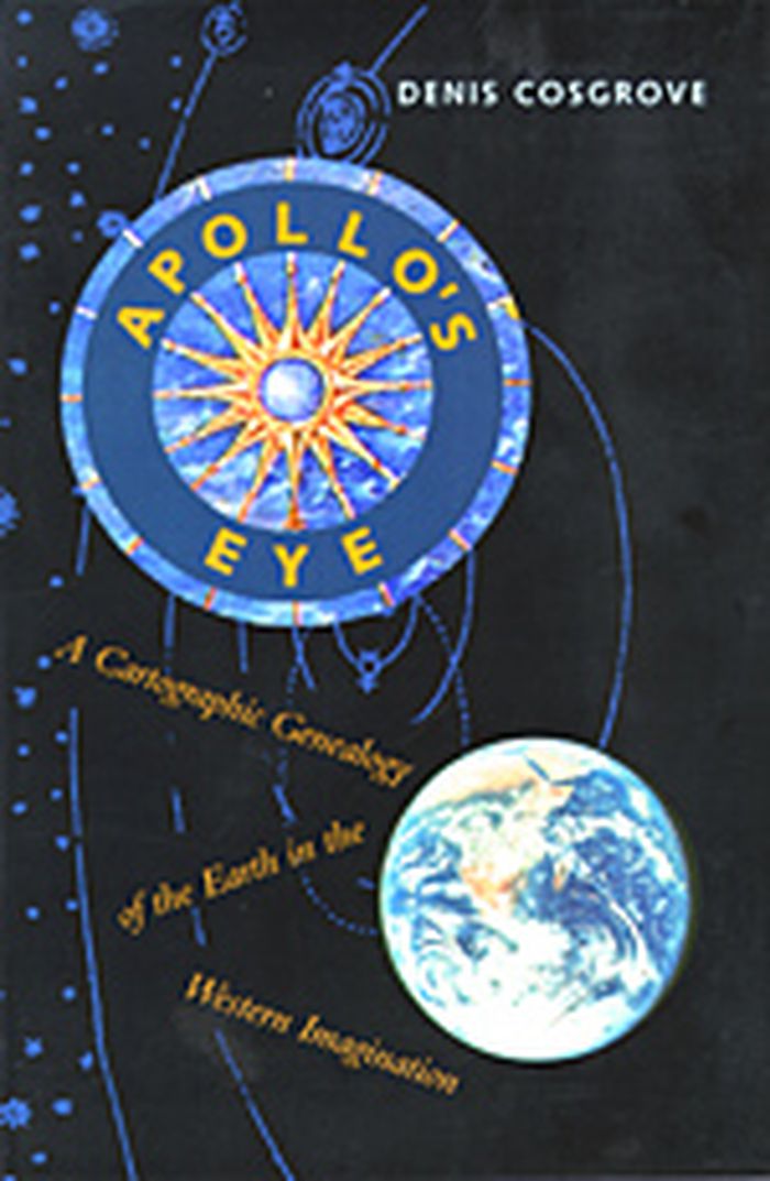
In "Apollo's Eye", geographer Denis Cosgrove examines the historical implications for the West of conceiving and representing the earth as a globe: a unified, spherical body. Cosgrove traces how ideas of globalism and globalization have shifted historically in relation to changing images of the earth, from antiquity to the Space Age. He connects the evolving image of a unified globe to politically powerful conceptions of human unity. Cosgrove constructs a genealogy of global images from classical Greece and Rome to the present, giving special attention to the early sixteenth century, when Europeans circumnavigated the earth, relocated it within their understanding of the cosmos, and revolutionized its representation in models and maps. Each chapter focuses on specific images of the globe or whole earth, reproduced in a wealth of illustrations. Cosgrove's analysis traces a pattern of associations between global images and the formation of Western identities, paying tribute to the complex cosmographic tradition out of which today's geographical imagination has emerged.
Apollo's eye : a cartographic genealogy of the earth in the Western imagination
Actions:
Price:
$34.95
(available to order)
Summary:
In "Apollo's Eye", geographer Denis Cosgrove examines the historical implications for the West of conceiving and representing the earth as a globe: a unified, spherical body. Cosgrove traces how ideas of globalism and globalization have shifted historically in relation to changing images of the earth, from antiquity to the Space Age. He connects the evolving image of a unified globe to politically powerful conceptions of human unity. Cosgrove constructs a genealogy of global images from classical Greece and Rome to the present, giving special attention to the early sixteenth century, when Europeans circumnavigated the earth, relocated it within their understanding of the cosmos, and revolutionized its representation in models and maps. Each chapter focuses on specific images of the globe or whole earth, reproduced in a wealth of illustrations. Cosgrove's analysis traces a pattern of associations between global images and the formation of Western identities, paying tribute to the complex cosmographic tradition out of which today's geographical imagination has emerged.
Form:
books
books
Publication:
October 2003, Baltimore
October 2003, Baltimore
Subject:
Architectural Drawing
Architectural Drawing
Form:
books
books
Title:
Maps and politics
Maps and politics
Actions:
Price:
$22.00
(available to order)
Summary:
Do maps accurately and objectively present the information we expect them to portray, or are they instead colored by the political purposes of their makers? In this lively and well-illustrated book, Jeremy Black investigates this dangerous territory, arguing persuasively that the supposed "objectivity" of the map-making and map-using process cannot be divorced from(...)
$22.00
(available to order)
Summary:
Do maps accurately and objectively present the information we expect them to portray, or are they instead colored by the political purposes of their makers? In this lively and well-illustrated book, Jeremy Black investigates this dangerous territory, arguing persuasively that the supposed "objectivity" of the map-making and map-using process cannot be divorced from(...)
Title:
Maps and politics
Actions:
Price:
$22.00
(available to order)
Summary:
Do maps accurately and objectively present the information we expect them to portray, or are they instead colored by the political purposes of their makers? In this lively and well-illustrated book, Jeremy Black investigates this dangerous territory, arguing persuasively that the supposed "objectivity" of the map-making and map-using process cannot be divorced from aspects of the politics of representation.
Maps and politics
Actions:
Price:
$22.00
(available to order)
Summary:
Do maps accurately and objectively present the information we expect them to portray, or are they instead colored by the political purposes of their makers? In this lively and well-illustrated book, Jeremy Black investigates this dangerous territory, arguing persuasively that the supposed "objectivity" of the map-making and map-using process cannot be divorced from aspects of the politics of representation.
Form:
books
books
Publication:
October 2003, Chicago / London
October 2003, Chicago / London
Subject:
Architectural Drawing
Architectural Drawing
Form:
books
books
Actions:
Price:
$68.95
(available to order)
Summary:
Finding one’s way with a map is a relatively recent phenomenon. In premodern times, maps were used, if at all, mainly for planning journeys in advance, not for guiding travelers on the road. With the exception of navigational sea charts, the use of maps by travelers only became common in the modern era; indeed, in the last two hundred years, maps have become the most(...)
$68.95
(available to order)
Summary:
Finding one’s way with a map is a relatively recent phenomenon. In premodern times, maps were used, if at all, mainly for planning journeys in advance, not for guiding travelers on the road. With the exception of navigational sea charts, the use of maps by travelers only became common in the modern era; indeed, in the last two hundred years, maps have become the most(...)
Title:
Cartographies of travel and navigation
Actions:
Price:
$68.95
(available to order)
Summary:
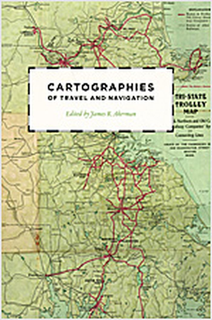
Finding one’s way with a map is a relatively recent phenomenon. In premodern times, maps were used, if at all, mainly for planning journeys in advance, not for guiding travelers on the road. With the exception of navigational sea charts, the use of maps by travelers only became common in the modern era; indeed, in the last two hundred years, maps have become the most ubiquitous and familiar genre of modern cartography. Examining the historical relationship between travelers, navigation, and maps, "Cartographies of travel and navigation" considers the cartographic response to the new modalities of modern travel brought about by technological and institutional developments in the twentieth century. Highlighting the ways in which the travelers, operators, and planners of modern transportation systems value maps as both navigation tools and as representatives of a radical new mobility, this collection brings the cartography of travel—by road, sea, rail, and air—to the forefront, placing maps at the center of the history of travel and movement.
Cartographies of travel and navigation
Actions:
Price:
$68.95
(available to order)
Summary:
Finding one’s way with a map is a relatively recent phenomenon. In premodern times, maps were used, if at all, mainly for planning journeys in advance, not for guiding travelers on the road. With the exception of navigational sea charts, the use of maps by travelers only became common in the modern era; indeed, in the last two hundred years, maps have become the most ubiquitous and familiar genre of modern cartography. Examining the historical relationship between travelers, navigation, and maps, "Cartographies of travel and navigation" considers the cartographic response to the new modalities of modern travel brought about by technological and institutional developments in the twentieth century. Highlighting the ways in which the travelers, operators, and planners of modern transportation systems value maps as both navigation tools and as representatives of a radical new mobility, this collection brings the cartography of travel—by road, sea, rail, and air—to the forefront, placing maps at the center of the history of travel and movement.
Form:
books
books
Publication:
August 2006, Chicago, London
August 2006, Chicago, London
Subject:
Architectural Drawing
Architectural Drawing
Form:
books
books
Title:
Piranesi : the etchings
Piranesi : the etchings
Actions:
Price:
$17.95
(available to order)
Summary:
One the greatest architectural artists of all time, and certainly the most famous copper engraver of the 18th century, Giovanni Battista Piranesi (1720-1778) is most known for his series of etchings of labyrinthine and megalomaniac prisons, Carceri d'Invenzione. In his own day, he was most celebrated for his Vedute, 137 etchings of ancient and modern Rome; so renowned(...)
$17.95
(available to order)
Summary:
One the greatest architectural artists of all time, and certainly the most famous copper engraver of the 18th century, Giovanni Battista Piranesi (1720-1778) is most known for his series of etchings of labyrinthine and megalomaniac prisons, Carceri d'Invenzione. In his own day, he was most celebrated for his Vedute, 137 etchings of ancient and modern Rome; so renowned(...)
Title:
Piranesi : the etchings
Actions:
Price:
$17.95
(available to order)
Summary:
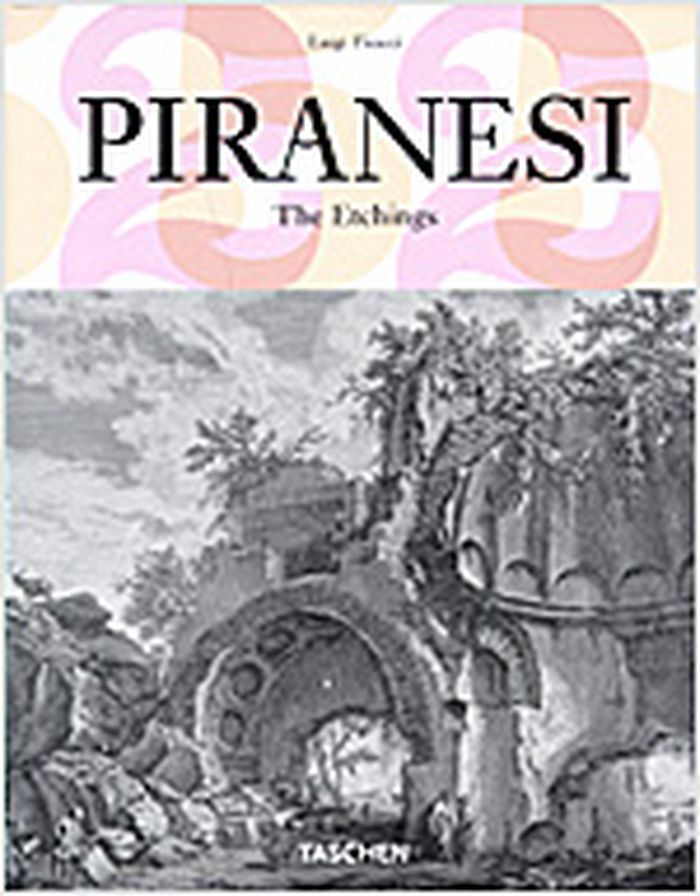
One the greatest architectural artists of all time, and certainly the most famous copper engraver of the 18th century, Giovanni Battista Piranesi (1720-1778) is most known for his series of etchings of labyrinthine and megalomaniac prisons, Carceri d'Invenzione. In his own day, he was most celebrated for his Vedute, 137 etchings of ancient and modern Rome; so renowned were these startling and dramatic chiaroscuro images, imbued with Piranesi's romantic feeling for archaeological ruins, that they formed the mental picture of Rome for generations after. Indeed, Piranesi could be said to have shaped a whole strain of contemporary architecture, as well as the wider visualization of antiquity itself. In our time, he has had a direct influence on writers such as Borges and Kafka and on filmmakers such as Terry Gilliam and Peter Greenaway. Anyone who contemplates Piranesi's etchings will confront the existential nightmare of human existence and its infinite mysteries.
Piranesi : the etchings
Actions:
Price:
$17.95
(available to order)
Summary:
One the greatest architectural artists of all time, and certainly the most famous copper engraver of the 18th century, Giovanni Battista Piranesi (1720-1778) is most known for his series of etchings of labyrinthine and megalomaniac prisons, Carceri d'Invenzione. In his own day, he was most celebrated for his Vedute, 137 etchings of ancient and modern Rome; so renowned were these startling and dramatic chiaroscuro images, imbued with Piranesi's romantic feeling for archaeological ruins, that they formed the mental picture of Rome for generations after. Indeed, Piranesi could be said to have shaped a whole strain of contemporary architecture, as well as the wider visualization of antiquity itself. In our time, he has had a direct influence on writers such as Borges and Kafka and on filmmakers such as Terry Gilliam and Peter Greenaway. Anyone who contemplates Piranesi's etchings will confront the existential nightmare of human existence and its infinite mysteries.
Form:
books
books
Publication:
January 2006, Köln
January 2006, Köln
Subject:
Architectural Drawing
Architectural Drawing
Form:
books
books
Actions:
Price:
$97.90
(available in store)
Summary:
The sketch is a window into the architects mind. As creative designers, architects are interested in how other architects, particularly successful ones, think through the use of drawings to approach their work. Historically designers have sought inspiration for their own work through an insight into the minds and workings of people they often regard as geniuses. This(...)
$97.90
(available in store)
Summary:
The sketch is a window into the architects mind. As creative designers, architects are interested in how other architects, particularly successful ones, think through the use of drawings to approach their work. Historically designers have sought inspiration for their own work through an insight into the minds and workings of people they often regard as geniuses. This(...)
Title:
Architects' drawings: a selection of sketches by world famous archittects through history
Actions:
Price:
$97.90
(available in store)
Summary:
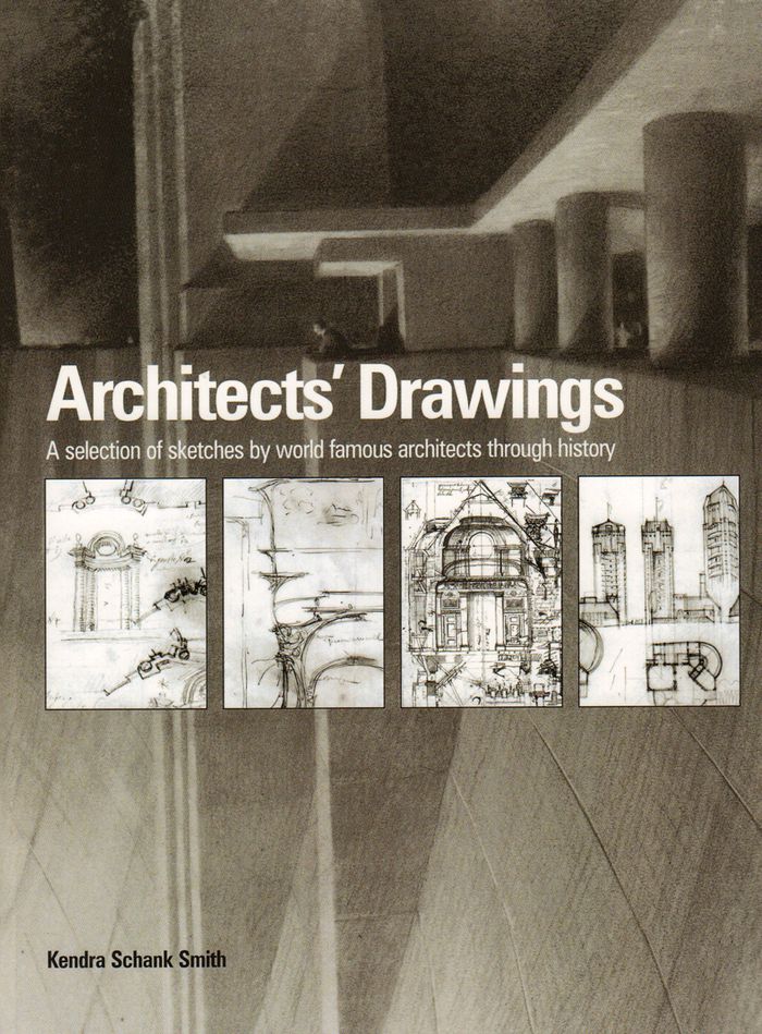
The sketch is a window into the architects mind. As creative designers, architects are interested in how other architects, particularly successful ones, think through the use of drawings to approach their work. Historically designers have sought inspiration for their own work through an insight into the minds and workings of people they often regard as geniuses. This collection of sketches aims to provide this insight. Here for the first time, a wide range of world famous architects' sketches from the Renaissance to the present day can be seen in a single volume. The sketches have been selected to represent the concepts or philosophies of the key movements in architecture in order to develop an overall picture of the role of the sketch in the development of architecture. The book illustrates the work of designers as diverse as Andrea Palladio, Erich Mendelsohn, Sir Edwin Lutyens, Gianlorenzo Bernini, Le Corbusier, Michelangelo, Alvar Aalto, Sir John Soane, Francesco Borromini, Walter Gropius, and contemporary architects Tadao Ando, Zaha Hadid and Frank Gehry to name but a few. Each chronologically placed sketch is accompanied by text providing details about the architect’s life, a look at the sketch in context, and the connection to specific buildings where appropriate. Style, media and meaning are also discussed, developing an explanation of the architect’s thinking and intentions.
Architects' drawings: a selection of sketches by world famous archittects through history
Actions:
Price:
$97.90
(available in store)
Summary:
The sketch is a window into the architects mind. As creative designers, architects are interested in how other architects, particularly successful ones, think through the use of drawings to approach their work. Historically designers have sought inspiration for their own work through an insight into the minds and workings of people they often regard as geniuses. This collection of sketches aims to provide this insight. Here for the first time, a wide range of world famous architects' sketches from the Renaissance to the present day can be seen in a single volume. The sketches have been selected to represent the concepts or philosophies of the key movements in architecture in order to develop an overall picture of the role of the sketch in the development of architecture. The book illustrates the work of designers as diverse as Andrea Palladio, Erich Mendelsohn, Sir Edwin Lutyens, Gianlorenzo Bernini, Le Corbusier, Michelangelo, Alvar Aalto, Sir John Soane, Francesco Borromini, Walter Gropius, and contemporary architects Tadao Ando, Zaha Hadid and Frank Gehry to name but a few. Each chronologically placed sketch is accompanied by text providing details about the architect’s life, a look at the sketch in context, and the connection to specific buildings where appropriate. Style, media and meaning are also discussed, developing an explanation of the architect’s thinking and intentions.
Form:
books
books
Publication:
February 2016
February 2016
Subject:
Architectural Drawing
Architectural Drawing


