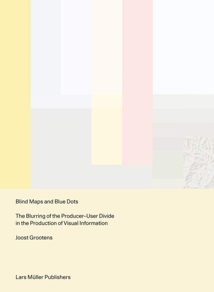
Blind maps and blue dots: the blurring of the producer-user divide in the production of visual
$56.00
(disponible sur commande)
Résumé:
Mapmaking has been an essential part of human development since ancient times: through the art of cartography, people have been able to record geographical explorations and communicate spatial information in relation to themselves and the land around them, using fixed points and lived experiences as references. In the digital age, maps are just as likely to convey the(...)
Blind maps and blue dots: the blurring of the producer-user divide in the production of visual
Actions:
Prix:
$56.00
(disponible sur commande)
Résumé:
Mapmaking has been an essential part of human development since ancient times: through the art of cartography, people have been able to record geographical explorations and communicate spatial information in relation to themselves and the land around them, using fixed points and lived experiences as references. In the digital age, maps are just as likely to convey the relationships between individual users and amorphous data as they are to depict the relationships between human beings and the stars and planets above. "Blind maps and blue dots" examines the impact of the omnipresent computer on current understandings of data visualization and graphic design, in which the boundaries between producers and users of maps has become increasingly blurred. This text is structured around three contemporary mapmaking practices: Google Maps' location function, referred to as the Blue Dot; a global map that displays the physical activity of users of the fitness app Strava; and the 'Situation in Syria' maps series, a regularly updated map of the Syrian conflict designed by an Amsterdam teenager. Like every other field, graphic design must evolve to reflect the modern world and the needs of its people. "Blind maps and blue dots" offers a new approach that acknowledges and even encourages the breakdown of the binary between producer and user.
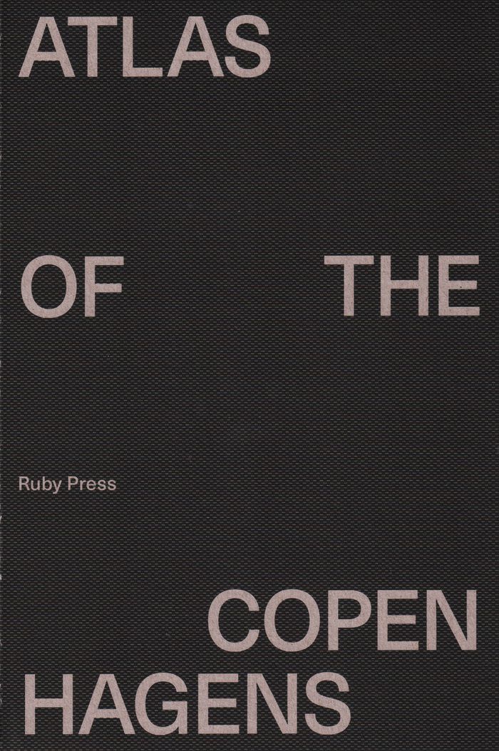
Atlas of the Copenhagens
$79.95
(disponible sur commande)
Résumé:
"Atlas of the Copenhagens" explores the urban territories of Copenhagen, often identified in city-ranking indices as the world’s most sustainable and livable city. Such claims position Copenhagen as an opportune site to engage in a wider debate on contemporary urban ideals, prompting questions such as: What is sustainability or livability? On whose terms are these(...)
Atlas of the Copenhagens
Actions:
Prix:
$79.95
(disponible sur commande)
Résumé:
"Atlas of the Copenhagens" explores the urban territories of Copenhagen, often identified in city-ranking indices as the world’s most sustainable and livable city. Such claims position Copenhagen as an opportune site to engage in a wider debate on contemporary urban ideals, prompting questions such as: What is sustainability or livability? On whose terms are these concepts defined? What agendas are included or excluded? The increasing authority attributed to city-ranking metrics prompts a second line of inquiry. How are the territorial and conceptual limits of a city drawn to define it as an object of measurement? What is Copenhagen as a territory in this case – the urban core, the municipality, the urbanized area, the regional urban system, or…? And how does this impact our understanding of something as complex and manifold as a city?

