115 Résultats
Classification:
livres
livres
Actions:
Prix:
$59.95
(disponible en magasin)
Résumé:
Jean Nouvel, Rem Koolhaas, Bjarke Ingels and Norman Foster all these cutting-edge architects have at some time used comic strips to present their projects or reflected on the socio-political context that shaped them. Bricks and Balloons brings together a wealth of architectural projects that reach out to the world of comics, many published here for the first time. The(...)
Titre:
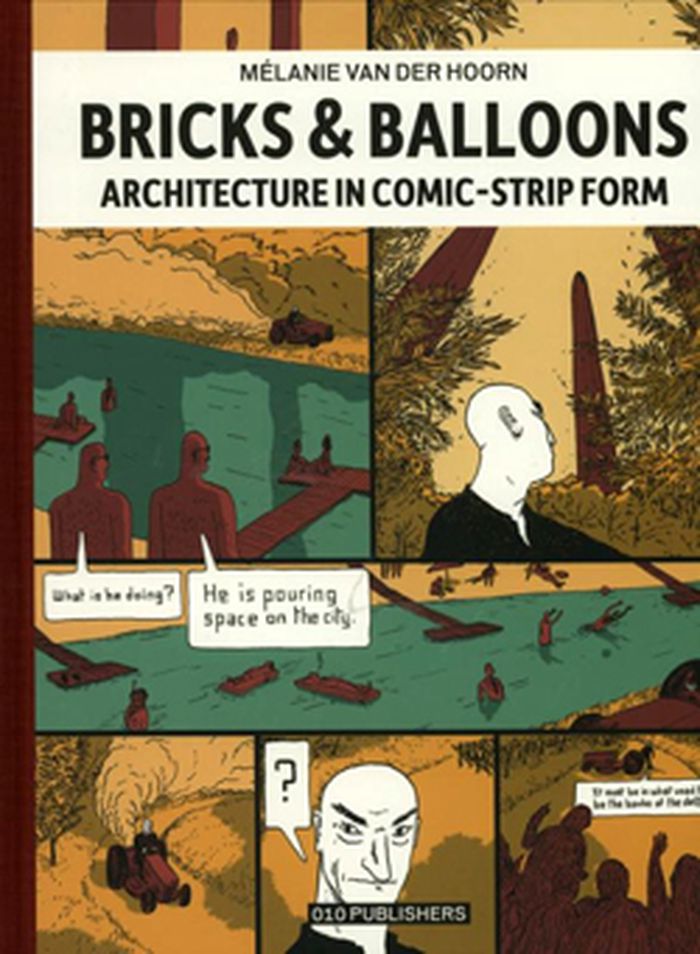
Bricks & Balloons: architecture in comic-strip form
Actions:
Prix:
$59.95
(disponible en magasin)
Résumé:
Jean Nouvel, Rem Koolhaas, Bjarke Ingels and Norman Foster all these cutting-edge architects have at some time used comic strips to present their projects or reflected on the socio-political context that shaped them. Bricks and Balloons brings together a wealth of architectural projects that reach out to the world of comics, many published here for the first time. The book is based on first-hand information collected during dozens of interviews with architects and comic strip artists.
Classification:
livres
livres
Publication:
mai 2012
mai 2012
Sujet:
Dessin d’architecture
Dessin d’architecture
Classification:
livres
livres
Actions:
Prix:
$45.00
(disponible sur commande)
Résumé:
Born out of the drawingbuilding.org online archive, Architectural Inventions presents a visual study of impossible or speculative structures that exist only on paper. Soliciting the work of architects, designers, and artists, Maximilian Goldfarb and Matt Bua have gathered an array of works that convey architectural alternatives, through products, expansions, or critiques(...)
Titre:
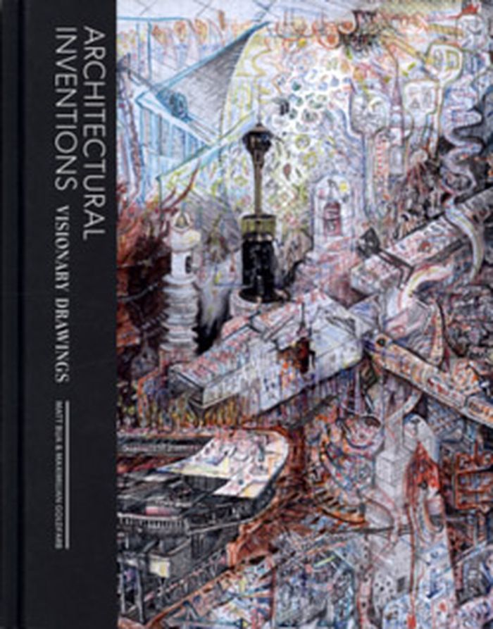
Architectural inventions : visionary drawings
Actions:
Prix:
$45.00
(disponible sur commande)
Résumé:
Born out of the drawingbuilding.org online archive, Architectural Inventions presents a visual study of impossible or speculative structures that exist only on paper. Soliciting the work of architects, designers, and artists, Maximilian Goldfarb and Matt Bua have gathered an array of works that convey architectural alternatives, through products, expansions, or critiques of our inhabited environments.
Classification:
livres
livres
Publication:
novembre 2012
novembre 2012
Sujet:
Dessin d’architecture
Dessin d’architecture
Classification:
livres
livres
Actions:
Prix:
$83.00
(disponible sur commande)
Résumé:
The classic architectural drawing compendium—now in a richly updated edition. Today's most comprehensive compendium of architectural drawing types and methods, both hand drawn and computer generated, Architectural Drawing: A Visual Compendium of Types and Methods remains a one-of-a-kind visual reference and an outstanding source of guidance and inspiration for(...)
Titre:
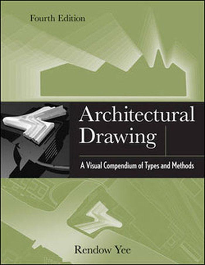
Architectural drawing : a visual compedium of types and methods (fourth edition)
Actions:
Prix:
$83.00
(disponible sur commande)
Résumé:
The classic architectural drawing compendium—now in a richly updated edition. Today's most comprehensive compendium of architectural drawing types and methods, both hand drawn and computer generated, Architectural Drawing: A Visual Compendium of Types and Methods remains a one-of-a-kind visual reference and an outstanding source of guidance and inspiration for students and professionals at every level. This fourth Edition has been thoroughly updated to reflect the growing influence of digital drawing.
Classification:
livres
livres
Publication:
août 2012
août 2012
Sujet:
Dessin d’architecture
Dessin d’architecture
Classification:
livres
livres
Actions:
Prix:
$34.95
(disponible sur commande)
Résumé:
For decades, Philip Ashforth Coppola has meticulously documented the New York City subway in a series of extraordinary drawings, detailing the terracotta mosaics, faience, and tile patterns that millions of riders pass by every day. Coppola's drawings are what "Hyperallergic" calls "the most encyclopedic history of the art and architecture of the New York City subway(...)
Titre:
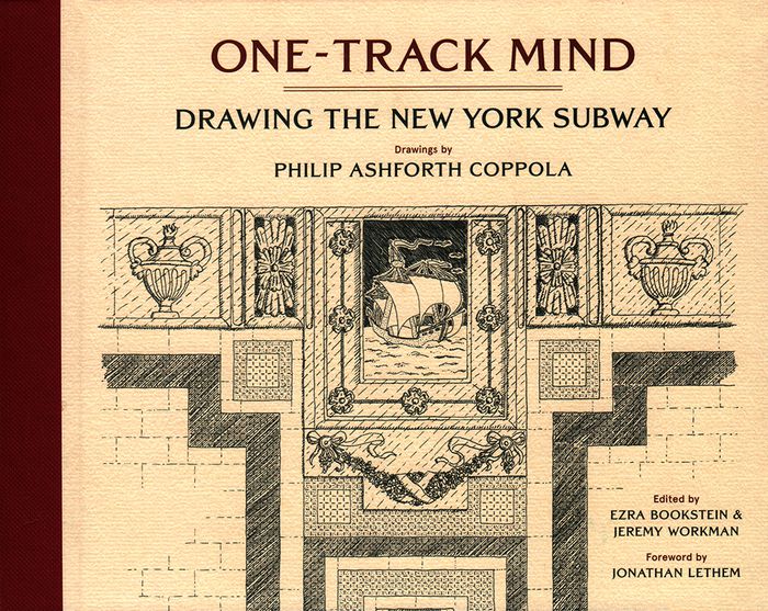
One-track mind: drawing the New York subway
Actions:
Prix:
$34.95
(disponible sur commande)
Résumé:
For decades, Philip Ashforth Coppola has meticulously documented the New York City subway in a series of extraordinary drawings, detailing the terracotta mosaics, faience, and tile patterns that millions of riders pass by every day. Coppola's drawings are what "Hyperallergic" calls "the most encyclopedic history of the art and architecture of the New York City subway system." Along with Coppola's intricate ink drawings are anecdotes he assembled through painstaking research involving hundreds of hours poring through microfilms to discover the names behind the artisanship of what is rightly called New York's largest public art work---its legendary subway system. Philip Ashforth Coppola's drawings have been featured in the New York Times, "Hyperallergic", and on the BBC and are included in the New York Transit Museum's permanent collection. Foreword by Jonathan Lethem.
Classification:
livres
livres
Publication:
janvier 2018
janvier 2018
Sujet:
Dessin d’architecture
Dessin d’architecture
Classification:
livres
livres
Actions:
Prix:
$62.95
(disponible sur commande)
Résumé:
''Regards dessinés sur le monde'' est plus qu'un simple recueil de dessins, c'est un voyage. Bernard Gachet, architecte globe-trotter, nous emmène sur les traces des civilisations passées aux travers des vestiges rencontrés de par le monde au cours de ses différents voyages réalisés depuis 1976. Bernard Gachet est un voyageur passionné, il parcourt le monde à la manière(...)
Titre:
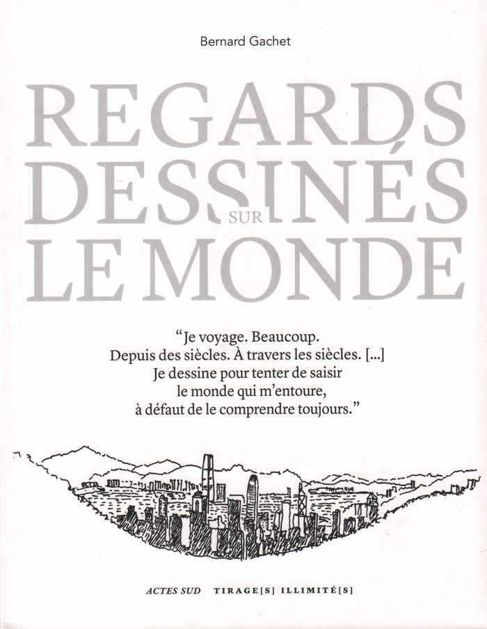
Regards dessinés sur le monde
Actions:
Prix:
$62.95
(disponible sur commande)
Résumé:
''Regards dessinés sur le monde'' est plus qu'un simple recueil de dessins, c'est un voyage. Bernard Gachet, architecte globe-trotter, nous emmène sur les traces des civilisations passées aux travers des vestiges rencontrés de par le monde au cours de ses différents voyages réalisés depuis 1976. Bernard Gachet est un voyageur passionné, il parcourt le monde à la manière des "amateurs" du XVIIIe siècle. Carnet et crayon à la main, il dessine et choisit pour nous ce que privilégie son oeil d'architecte : la diversité et la beauté des traces de l'histoire et des cultures. Comme pour mieux comprendre le monde. Le dessin se fait ici éloge de la lenteur et du passé, en plus d'être un fascinant moyen de connaissance et de découverte.
Classification:
livres
livres
Publication:
avril 2018
avril 2018
Sujet:
Dessin d’architecture
Dessin d’architecture
Classification:
livres
livres
Prix:
$42.95
(disponible sur commande)
Résumé:
How do you find out about historic buildings and places? A good place to start is with visual evidence. Original drawings, topographical views, surveys, maps, photographs, and other historic visual sources help to support an understanding of how a building or location appears the way it does today. Interpreting such material requires knowledge of historic design and(...)
Publication:
avril 2019
avril 2019
Titre:
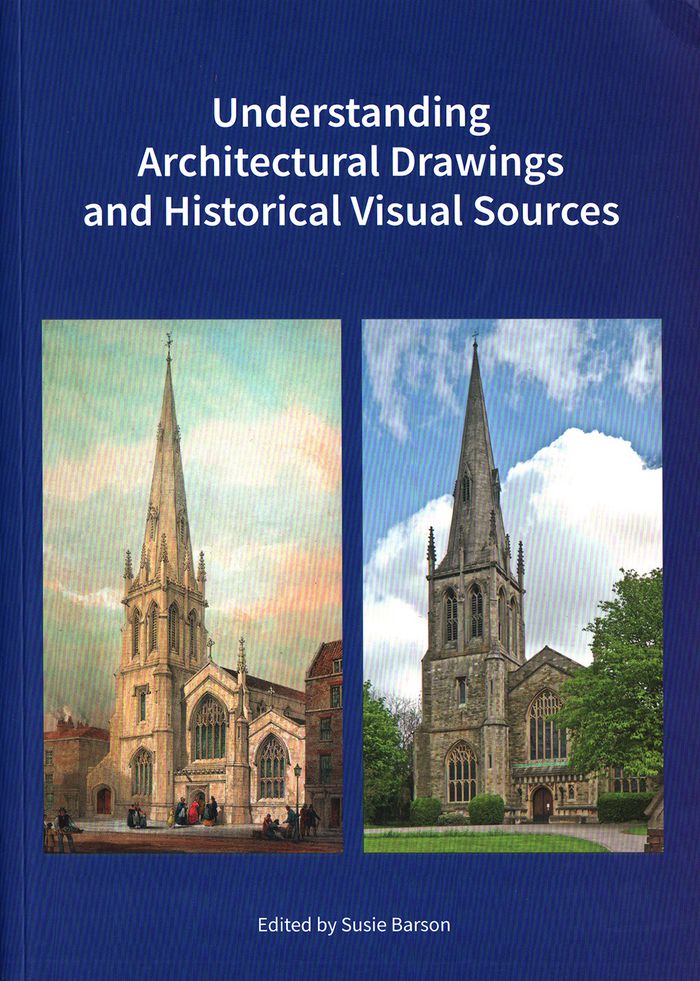
Understanding architectural drawings and historical visual sources
Actions:
Prix:
$42.95
(disponible sur commande)
Résumé:
How do you find out about historic buildings and places? A good place to start is with visual evidence. Original drawings, topographical views, surveys, maps, photographs, and other historic visual sources help to support an understanding of how a building or location appears the way it does today. Interpreting such material requires knowledge of historic design and mapping conventions, the place of the drawings in the construction process, the methods and techniques used to create engraved or topographical views, and the equipment and processes used in photography at particular times. The authors of this book explain the provenance, purpose, and terminology of a range of visual sources from the sixteenth to the twentieth century, and explore how they can help—or sometimes hinder—an understanding of the original form and subsequent changes to a building, site, or landscape.
Classification:
livres
livres
Publication:
avril 2019
avril 2019
Classification:
livres
livres
Titre:
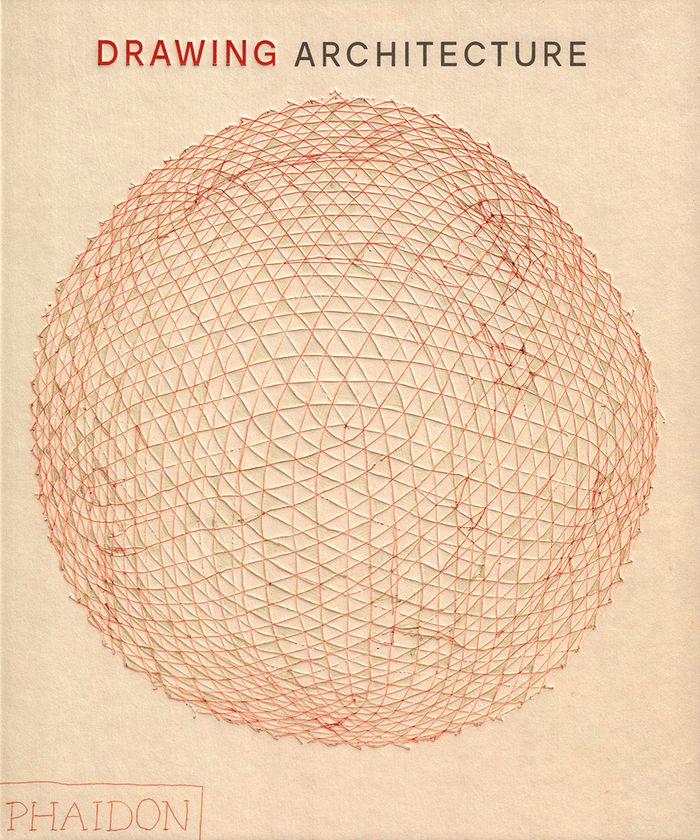
Drawing architecture
Drawing architecture
Actions:
Prix:
$105.00
(disponible sur commande)
Résumé:
Throughout history, architects have relied on drawings both to develop their ideas and communicate their vision to the world. This collection brings together more than 250 of the finest architectural drawings of all time, revealing each architect's process and personality as never before. Creatively paired to stimulate the imagination, the illustrations span the centuries(...)
Titre:
Drawing architecture
Actions:
Prix:
$105.00
(disponible sur commande)
Résumé:
Throughout history, architects have relied on drawings both to develop their ideas and communicate their vision to the world. This collection brings together more than 250 of the finest architectural drawings of all time, revealing each architect's process and personality as never before. Creatively paired to stimulate the imagination, the illustrations span the centuries and range from sketches to renderings, simple to intricate, built projects to a utopian ideal, famous to rarely seen - a true celebration of the art of architecture. Visually paired images draw connections and contrasts between architecture from different times, styles, and places. From Michelangelo to Frank Gehry, Louise Bourgeois to Tadao Ando, B.V. Doshi to Zaha Hadid, and Grafton to Luis Barragán, the book shows the incredible variety and beauty of architectural drawings.
Classification:
livres
livres
Publication:
octobre 2018
octobre 2018
Sujet:
Dessin d’architecture
Dessin d’architecture
Classification:
livres
livres
Actions:
Prix:
$49.95
(disponible sur commande)
Résumé:
Jean Jacques Lequeu (1757-1826) est davantage connu comme 'architecte visionnaire' et 'révolutionnaire' que comme dessinateur en architecture issu de l'école gratuite de Rouen. Philippe Duboÿ lui a consacré sa thèse de doctorat, suivie d'un livre publié à Londres en 1986, puis aux ÉtatsUnis, et enfin en France, apportant ainsi toute la connaissance actuelle de cet(...)
Titre:
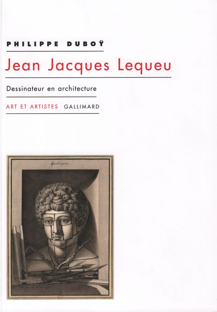
Jean-Jacques Lequeu, dessinateur en architecture
Actions:
Prix:
$49.95
(disponible sur commande)
Résumé:
Jean Jacques Lequeu (1757-1826) est davantage connu comme 'architecte visionnaire' et 'révolutionnaire' que comme dessinateur en architecture issu de l'école gratuite de Rouen. Philippe Duboÿ lui a consacré sa thèse de doctorat, suivie d'un livre publié à Londres en 1986, puis aux ÉtatsUnis, et enfin en France, apportant ainsi toute la connaissance actuelle de cet extraordinaire individu. C'est ce texte amendé qui compose cet ouvrage, augmenté de plusieurs manuscrits de ou sur Lequeu.
Classification:
livres
livres
Publication:
septembre 2018
septembre 2018
Sujet:
Dessin d’architecture
Dessin d’architecture
Classification:
livres
livres
Prix:
$70.00
(disponible sur commande)
Résumé:
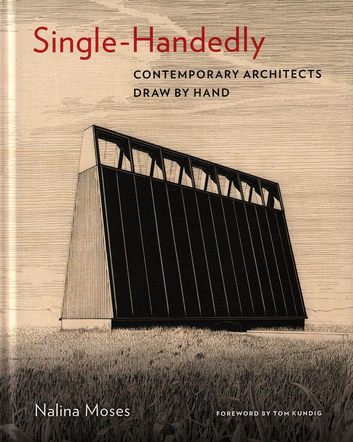
Part of the generation of architects who were trained to draw both by hand and with digital tools, Nalina Moses recently returned to hand drawing. Finding it to be direct, pleasurable, and intuitive, she wondered whether other architects felt the same way. "Single-Handedly" is the result of this inquiry. A collection of 220 hand drawings by more than forty emerging(...)
$70.00
(disponible sur commande)
Résumé:
Part of the generation of architects who were trained to draw both by hand and with digital tools, Nalina Moses recently returned to hand drawing. Finding it to be direct, pleasurable, and intuitive, she wondered whether other architects felt the same way. "Single-Handedly" is the result of this inquiry. A collection of 220 hand drawings by more than forty emerging(...)
Titre:
Single-handedly: contemporary architects draw by hand
Actions:
Prix:
$70.00
(disponible sur commande)
Résumé:
Part of the generation of architects who were trained to draw both by hand and with digital tools, Nalina Moses recently returned to hand drawing. Finding it to be direct, pleasurable, and intuitive, she wondered whether other architects felt the same way. "Single-Handedly" is the result of this inquiry. A collection of 220 hand drawings by more than forty emerging architects and well-known practitioners from around the world, this book explores the reasons they draw by hand and gives testimony to the continued vitality of hand drawing in architecture. The powerful yet intimate drawings carry larger propositions about materials, space, and construction, and each one stands on its own as a work of art.
Classification:
livres
livres
Publication:
mai 2019
mai 2019
Sujet:
Dessin d’architecture
Dessin d’architecture
Classification:
livres
livres
Prix:
$120.99
(disponible sur commande)
Résumé:
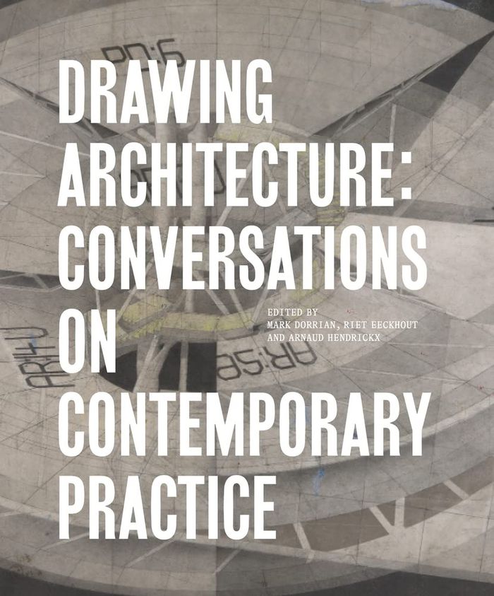
This book documents explorations in contemporary architectural drawing, taking as its basis a series of symposia between a cohort of architects, critics, and curators, who discussed drawing practices and production in relation to their own work and research. The book includes a selection of exquisite key drawings by the various contributors, as well as edited transcripts(...)
$120.99
(disponible sur commande)
Résumé:
This book documents explorations in contemporary architectural drawing, taking as its basis a series of symposia between a cohort of architects, critics, and curators, who discussed drawing practices and production in relation to their own work and research. The book includes a selection of exquisite key drawings by the various contributors, as well as edited transcripts(...)
Sujet:
Dessin d’architecture
Dessin d’architecture
Publication:
mars 2023
mars 2023
Titre:
Drawing architecture: Conversations on contemporary practice
Actions:
Prix:
$120.99
(disponible sur commande)
Résumé:
This book documents explorations in contemporary architectural drawing, taking as its basis a series of symposia between a cohort of architects, critics, and curators, who discussed drawing practices and production in relation to their own work and research. The book includes a selection of exquisite key drawings by the various contributors, as well as edited transcripts of their conversations around drawing which developed across the meetings. Participants include Laura Allen, Bryan Cantley, Peter Cook, Nat Chard, Mark Dorrian, Riet Eeckhout, Adrian Hawker, Perry Kulper, CJ Lim, Shaun Murray, Mark Smout, Neil Spiller, Nada Subotincic, Michael Webb, Mark West, and Michael Young. The volume includes a collection of short keyword texts by the architects, together with contextual essays by Nat Chard, Mark Dorrian, Riet Eeckhout, Thomas-Bernard Kenniff and Carole Lévesque, and Michael Young.
Classification:
livres
livres
Publication:
mars 2023
mars 2023
Sujet:
Dessin d’architecture
Dessin d’architecture