115 Résultats
Classification:
livres
livres
Prix:
$102.00
(disponible sur commande)
Résumé:
This sequel to our highly acclaimed title "An Atlas of Rare City Maps" collects over 100 views dating between 1835 and 1902, showing the streets, buildings, churches, bridges, waterways, and surrounding(...)
$102.00
(disponible sur commande)
Résumé:
This sequel to our highly acclaimed title "An Atlas of Rare City Maps" collects over 100 views dating between 1835 and 1902, showing the streets, buildings, churches, bridges, waterways, and surrounding(...)
Titre:
Bird's eye view : historic lithographs of North American cities
Actions:
Prix:
$102.00
(disponible sur commande)
Résumé:
This sequel to our highly acclaimed title "An Atlas of Rare City Maps" collects over 100 views dating between 1835 and 1902, showing the streets, buildings, churches, bridges, waterways, and surrounding countryside of North American towns, ranging from burgeoning metropolitan centers to small logging towns and mining camps. Baltimore, Brooklyn, Denver, Indianapolis, Memphis, Montreal, New Orleans, Pittsburgh, Seattle, Syracuse, and Washington are just a few of the cities presented in this collection. The exquisite colour and fine detail of these bird's eye views have been reproduced in all their original glory; also included is an introduction by John W. Reps providing a background on the artistic process and on urban development in the nineteenth century.
Classification:
livres
livres
Publication:
octobre 1998, New York
octobre 1998, New York
Sujet:
Dessin d’architecture
Dessin d’architecture
Classification:
livres
livres
Titre:
Maps and politics
Maps and politics
Actions:
Prix:
$49.00
(disponible sur commande)
Résumé:
Do maps accurately and objectively present the information we expect them to portray, or are they instead colored by the political purposes of their makers? In this lively and well-illustrated book, Jeremy Black investigates this dangerous territory, arguing persuasively that the supposed "objectivity" of the map-making and map-using process cannot be divorced from(...)
Titre:
Maps and politics
Actions:
Prix:
$49.00
(disponible sur commande)
Résumé:
Do maps accurately and objectively present the information we expect them to portray, or are they instead colored by the political purposes of their makers? In this lively and well-illustrated book, Jeremy Black investigates this dangerous territory, arguing persuasively that the supposed "objectivity" of the map-making and map-using process cannot be divorced from aspects of the politics of representation.
Classification:
livres
livres
Publication:
février 1998, Chicago
février 1998, Chicago
Sujet:
Dessin d’architecture
Dessin d’architecture
Classification:
livres
livres
Prix:
$60.00
(disponible sur commande)
Résumé:
This book examines how the structure and content of medieval maps can provide an intriguing insight into how medieval mapmakers and readers saw their world.
$60.00
(disponible sur commande)
Résumé:
This book examines how the structure and content of medieval maps can provide an intriguing insight into how medieval mapmakers and readers saw their world.
Titre:
Mapping Time and Space: How Medieval Mapmakers Viewed Their World
Actions:
Prix:
$60.00
(disponible sur commande)
Résumé:
This book examines how the structure and content of medieval maps can provide an intriguing insight into how medieval mapmakers and readers saw their world.
Mapping Time and Space: How Medieval Mapmakers Viewed Their World
Actions:
Prix:
$60.00
(disponible sur commande)
Résumé:
This book examines how the structure and content of medieval maps can provide an intriguing insight into how medieval mapmakers and readers saw their world.
Classification:
livres
livres
Publication:
janvier 1998, London
janvier 1998, London
Sujet:
Dessin d’architecture
Dessin d’architecture
Classification:
livres
livres
Actions:
Prix:
$69.75
(disponible sur commande)
Résumé:
In "Apollo's Eye", geographer Denis Cosgrove examines the historical implications for the West of conceiving and representing the earth as a globe: a unified, spherical body. Cosgrove traces how ideas of globalism and globalization have shifted historically in relation to changing images of the earth, from antiquity to the Space Age. He connects the evolving image(...)
Titre:
Apollo's eye : a cartographic genealogy of the earth in the Western imagination
Actions:
Prix:
$69.75
(disponible sur commande)
Résumé:
In "Apollo's Eye", geographer Denis Cosgrove examines the historical implications for the West of conceiving and representing the earth as a globe: a unified, spherical body. Cosgrove traces how ideas of globalism and globalization have shifted historically in relation to changing images of the earth, from antiquity to the Space Age. He connects the evolving image of a unified globe to politically powerful conceptions of human unity. Cosgrove constructs a genealogy of global images from classical Greece and Rome to the present, giving special attention to the early sixteenth century, when Europeans circumnavigated the earth, relocated it within their understanding of the cosmos, and revolutionized its representation in models and maps. Each chapter focuses on specific images of the globe or whole earth, reproduced in a wealth of illustrations. Cosgrove's analysis traces a pattern of associations between global images and the formation of Western identities, paying tribute to the complex cosmographic tradition out of which today's geographical imagination has emerged.
Classification:
livres
livres
Publication:
mars 2001, Baltimore
mars 2001, Baltimore
Sujet:
Dessin d’architecture
Dessin d’architecture
Classification:
livres
livres
Actions:
Prix:
$42.50
(disponible sur commande)
Résumé:
A young engraver making a precarious living wandering around Europe, Hollar was employed by an English lord who took him to London, where he became known for his fashion plates, maps and panoramas. This book traces the story of the artist/engraver who drew London before and after the Great Fire of 1666.
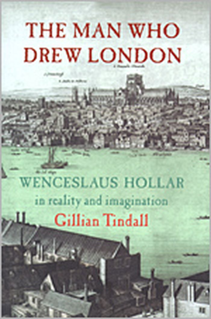
Titre:
The man who drew London : Wenceslaus Hollar in reality and imagination
Actions:
Prix:
$42.50
(disponible sur commande)
Résumé:
A young engraver making a precarious living wandering around Europe, Hollar was employed by an English lord who took him to London, where he became known for his fashion plates, maps and panoramas. This book traces the story of the artist/engraver who drew London before and after the Great Fire of 1666.
Classification:
livres
livres
Publication:
janvier 1900, London
janvier 1900, London
Sujet:
Dessin d’architecture
Dessin d’architecture
Classification:
livres
livres
Titre:
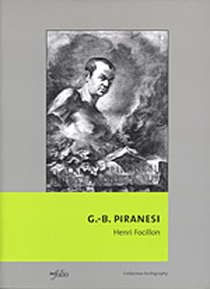
Giovanni-Batista Piranesi
Giovanni-Batista Piranesi
Actions:
Prix:
$48.95
(disponible sur commande)
Résumé:
Publié pour la première fois en 1918, cet ouvrage consacré à l’architecte-graveur Giovanni-Battista Piranesi ( Mestre 1720 – Rome 1778 ) est plus qu’une biographie. Il s’agit d’une véritable étude de la société italienne et romaine au XVIIIe siècle qui, sur bien des points, fait encore autorité aujourd’hui. Fils d’un tailleur de pierre vénitien, Giovanni-Battista Piranesi(...)
Titre:
Giovanni-Batista Piranesi
Actions:
Prix:
$48.95
(disponible sur commande)
Résumé:
Publié pour la première fois en 1918, cet ouvrage consacré à l’architecte-graveur Giovanni-Battista Piranesi ( Mestre 1720 – Rome 1778 ) est plus qu’une biographie. Il s’agit d’une véritable étude de la société italienne et romaine au XVIIIe siècle qui, sur bien des points, fait encore autorité aujourd’hui. Fils d’un tailleur de pierre vénitien, Giovanni-Battista Piranesi reçut une formation d’architecte. Passionné par l’antiquité romaine, il accompagna, alors âgé de vingt ans, l’ambassadeur de Venise auprès du Saint-Siège à Rome. Il put alors satisfaire à loisir sa passion et parfaire sa formation auprès des maîtres romains. Lors de ce séjour, il s’initia à la gravure, art qu’il pratiqua sa vie durant, gravant des vues de Rome où les ruines antiques sont omniprésentes. Sa formation d’architecte et son œil passionné d’amateur d’antiquités offrent à notre regard ébahi une profusion d’œuvres qu’il publia dans plusieurs recueils. Ses talents d’architecte furent peu sollicités. C’est principalement la famille des Rezzonico, Vénitiens comme lui et dont fut issu le pape Clément XIII, qui lui permit d’exercer sa profession. Il fut notamment l’architecte de la restauration du prieuré des chevaliers de Malte à Rome et de son église, Sainte-Marie-Aventine.
Classification:
livres
livres
Publication:
avril 2003, Gollion
avril 2003, Gollion
Sujet:
Dessin d’architecture
Dessin d’architecture
Classification:
livres
livres
Actions:
Prix:
$115.00
(disponible sur commande)
Résumé:
The discovery of and excavations at Pompeii in the second half of the eighteenth century not only provided historians with a trove of information about ancient Roman civilization but also fired artists' imaginations and inaugurated the vogue for the "Pompeian style" that so influenced the West in the nineteenth century. This book reproduces, along with commentary, "Le(...)
Sujet:
Dessin d’architecture
Dessin d’architecture
Publication:
septembre 2002, Los Angeles
septembre 2002, Los Angeles
Titre:
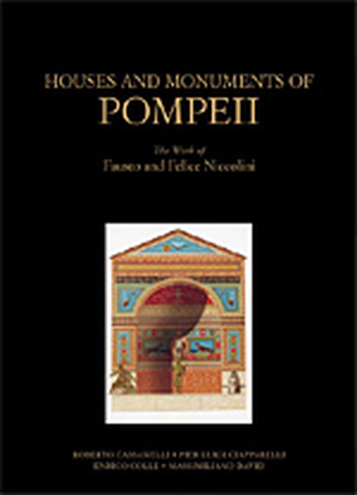
Houses and monuments of Pompeii : the works fo Fausto and Felice Niccolini
Actions:
Prix:
$115.00
(disponible sur commande)
Résumé:
The discovery of and excavations at Pompeii in the second half of the eighteenth century not only provided historians with a trove of information about ancient Roman civilization but also fired artists' imaginations and inaugurated the vogue for the "Pompeian style" that so influenced the West in the nineteenth century. This book reproduces, along with commentary, "Le case i monumenti di Pompeii" (1854) of Fausto and Felice Niccolini, the first work to present completely and systematically all the public and private buildings so far excavated in Pompeii. It features the wondrous watercolors the Niccolinis created to document Pompeii and is thus a beautiful and essential tool in understanding the excavated remains themselves and how the modern archaeologists perceived and recorded the ancient world. These reproduced drawings of the excavations are accompanied by texts that explain the documents by the Niccolinis, as well as the evolution of the Pompeian style in Europe, the pictorial representation of Pompeii in the nineteenth century from engravings to photographs, and the evolving styles of archaeological documentation.
Classification:
livres
livres
Publication:
septembre 2002, Los Angeles
septembre 2002, Los Angeles
Sujet:
Dessin d’architecture
Dessin d’architecture
Classification:
livres
livres
Actions:
Prix:
$115.00
(disponible sur commande)
Résumé:
Traditionally a critical component of the education of any architect was to draw the ruins of ancient Rome, reconstructing either from ancient sources or, more often, pure fantasy, what the original structures must have looked like. From this training emerged generations of architects imbued with the aesthetic ideals that would form the Neoclassical and Beaux-Arts(...)
Sujet:
Dessin d’architecture
Dessin d’architecture
Publication:
septembre 2002, Los Angeles
septembre 2002, Los Angeles
Titre:
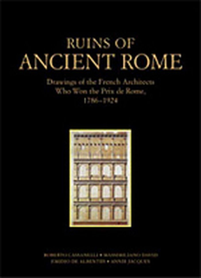
Ruins of Ancient Rome : the drawings of French architects who won the Prix de Rome 1786-1924
Actions:
Prix:
$115.00
(disponible sur commande)
Résumé:
Traditionally a critical component of the education of any architect was to draw the ruins of ancient Rome, reconstructing either from ancient sources or, more often, pure fantasy, what the original structures must have looked like. From this training emerged generations of architects imbued with the aesthetic ideals that would form the Neoclassical and Beaux-Arts building styles. Drawings of the ruins of ancient Rome made by French "Prix de Rome" architects from 1786 through 1924 are reproduced. Accompanied by text that explains how the Prix de Rome was awarded and the significance of the prize in the history of architecture, as well as how the study of ancient models formed the basis for nineteenth- and early twentieth-century architectural styles, these drawings provide an understanding of how the modern imagination recorded and transformed ancient fragments into a modern architectural idiom.
Classification:
livres
livres
Publication:
septembre 2002, Los Angeles
septembre 2002, Los Angeles
Sujet:
Dessin d’architecture
Dessin d’architecture
Classification:
livres
livres
Prix:
$79.95
(disponible sur commande)
Résumé:
Envisioning Architecture, the first in a series of three titles showcasing selected works from The Museum of Modern Art's superlative architecture and design collection, features a wide variety of drawings by great architects of the modern period, from early masters such as Frank Lloyd Wright, Le Corbusier, and Ludwig Mies van der Rohe to contemporary practitioners(...)
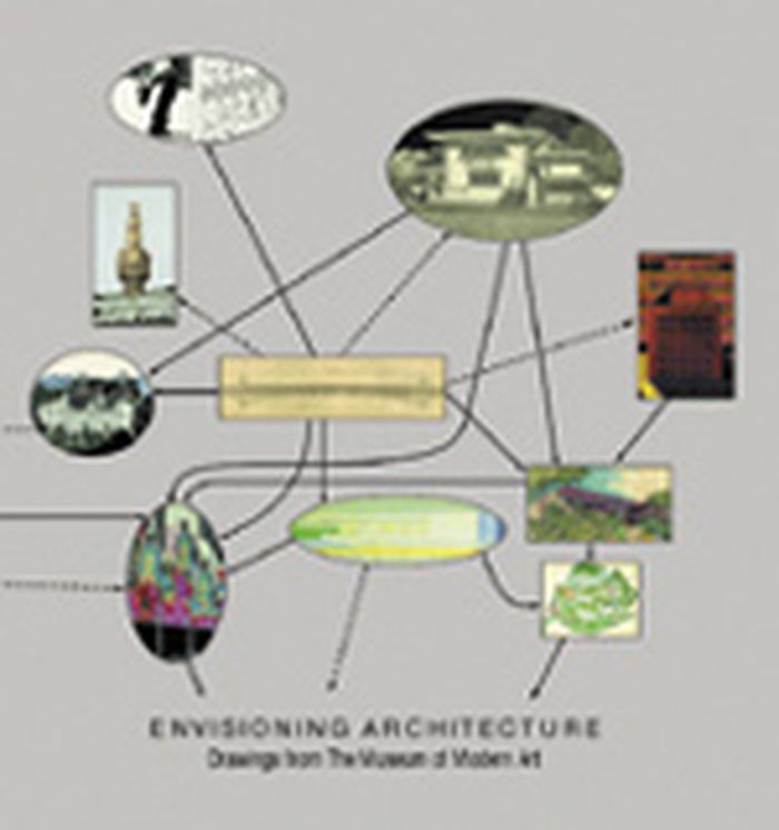
Titre:
Envisioning architecture : drawings from the Museum of Modern Art
Actions:
Prix:
$79.95
(disponible sur commande)
Résumé:
Envisioning Architecture, the first in a series of three titles showcasing selected works from The Museum of Modern Art's superlative architecture and design collection, features a wide variety of drawings by great architects of the modern period, from early masters such as Frank Lloyd Wright, Le Corbusier, and Ludwig Mies van der Rohe to contemporary practitioners including Frank Gehry, Zaha Hadid, Rem Koolhaas, and others. Revealing the range of aesthetic viewpoints in architecture since the late 19th century, these drawings also cumulatively trace the development of the field, almost incidentally making the crucial point that in this increasingly technological age, the age-old discipline of drawing is as vital and inventive as ever. The book opens with an exploration of the relatively brief history of collecting architectural drawings, whose practice dates back little farther than the 16th century.
Classification:
livres
livres
Publication:
octobre 2001, New York
octobre 2001, New York
Sujet:
Dessin d’architecture
Dessin d’architecture
Classification:
livres
livres
Actions:
Prix:
$67.50
(disponible sur commande)
Résumé:
"Artists' Impressions in Architectural Design" looks at the the ways in which architects have represented their designs for clients and the public, both historically and contemporarily. It covers the period from the 15th to the 21st century. Featuring some of the best known buildings by the best known architects, this book places the technological development of today in(...)
Sujet:
Dessin d’architecture
Dessin d’architecture
Publication:
septembre 2002, London and New York
septembre 2002, London and New York
Titre:
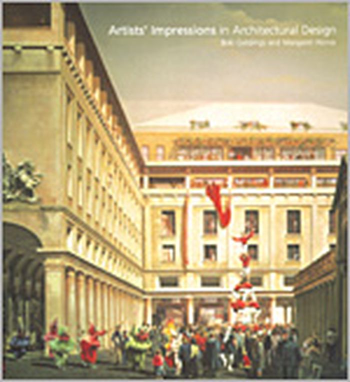
Artists' impressions in architectural design
Actions:
Prix:
$67.50
(disponible sur commande)
Résumé:
"Artists' Impressions in Architectural Design" looks at the the ways in which architects have represented their designs for clients and the public, both historically and contemporarily. It covers the period from the 15th to the 21st century. Featuring some of the best known buildings by the best known architects, this book places the technological development of today in context with the historical heritage of the past.
Classification:
livres
livres
Publication:
septembre 2002, London and New York
septembre 2002, London and New York
Sujet:
Dessin d’architecture
Dessin d’architecture