115 Résultats
Classification:
livres
livres
Actions:
Prix:
$68.95
(disponible sur commande)
Résumé:
Finding one’s way with a map is a relatively recent phenomenon. In premodern times, maps were used, if at all, mainly for planning journeys in advance, not for guiding travelers on the road. With the exception of navigational sea charts, the use of maps by travelers only became common in the modern era; indeed, in the last two hundred years, maps have become the most(...)
Titre:
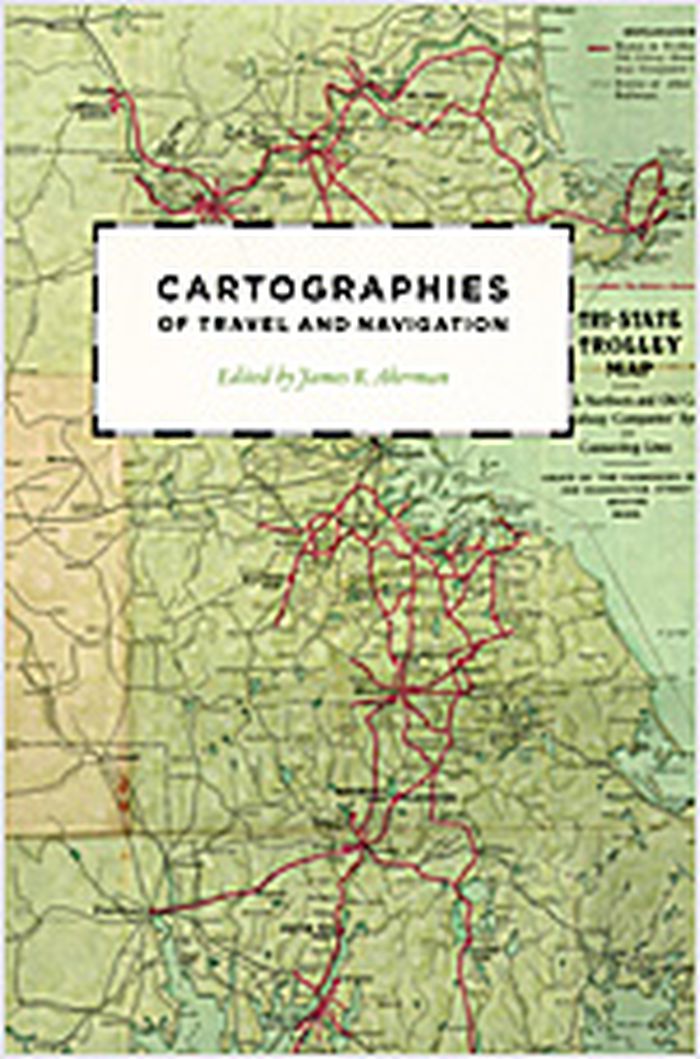
Cartographies of travel and navigation
Actions:
Prix:
$68.95
(disponible sur commande)
Résumé:
Finding one’s way with a map is a relatively recent phenomenon. In premodern times, maps were used, if at all, mainly for planning journeys in advance, not for guiding travelers on the road. With the exception of navigational sea charts, the use of maps by travelers only became common in the modern era; indeed, in the last two hundred years, maps have become the most ubiquitous and familiar genre of modern cartography. Examining the historical relationship between travelers, navigation, and maps, "Cartographies of travel and navigation" considers the cartographic response to the new modalities of modern travel brought about by technological and institutional developments in the twentieth century. Highlighting the ways in which the travelers, operators, and planners of modern transportation systems value maps as both navigation tools and as representatives of a radical new mobility, this collection brings the cartography of travel—by road, sea, rail, and air—to the forefront, placing maps at the center of the history of travel and movement.
Classification:
livres
livres
Publication:
août 2006, Chicago, London
août 2006, Chicago, London
Sujet:
Dessin d’architecture
Dessin d’architecture
Classification:
livres
livres
Titre:
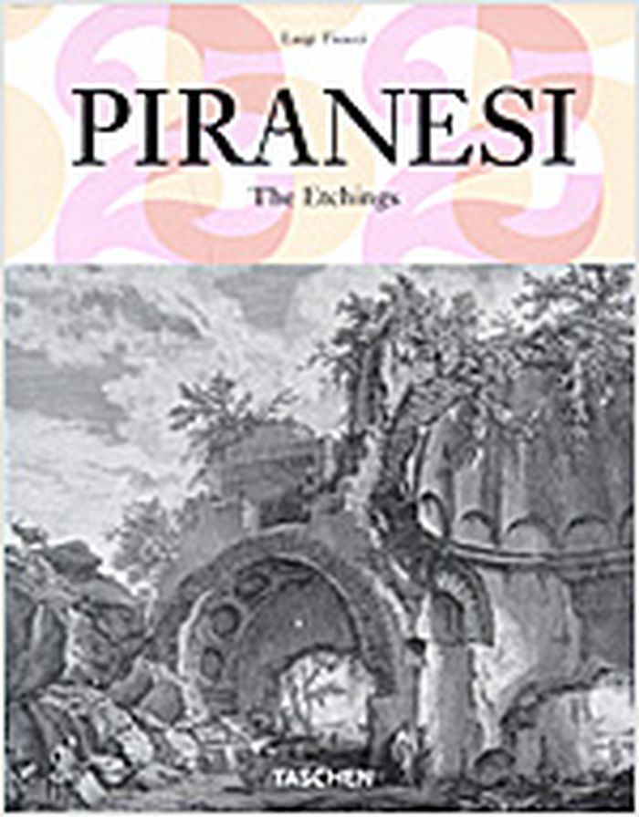
Piranesi : the etchings
Piranesi : the etchings
Actions:
Prix:
$17.95
(disponible sur commande)
Résumé:
One the greatest architectural artists of all time, and certainly the most famous copper engraver of the 18th century, Giovanni Battista Piranesi (1720-1778) is most known for his series of etchings of labyrinthine and megalomaniac prisons, Carceri d'Invenzione. In his own day, he was most celebrated for his Vedute, 137 etchings of ancient and modern Rome; so renowned(...)
Titre:
Piranesi : the etchings
Actions:
Prix:
$17.95
(disponible sur commande)
Résumé:
One the greatest architectural artists of all time, and certainly the most famous copper engraver of the 18th century, Giovanni Battista Piranesi (1720-1778) is most known for his series of etchings of labyrinthine and megalomaniac prisons, Carceri d'Invenzione. In his own day, he was most celebrated for his Vedute, 137 etchings of ancient and modern Rome; so renowned were these startling and dramatic chiaroscuro images, imbued with Piranesi's romantic feeling for archaeological ruins, that they formed the mental picture of Rome for generations after. Indeed, Piranesi could be said to have shaped a whole strain of contemporary architecture, as well as the wider visualization of antiquity itself. In our time, he has had a direct influence on writers such as Borges and Kafka and on filmmakers such as Terry Gilliam and Peter Greenaway. Anyone who contemplates Piranesi's etchings will confront the existential nightmare of human existence and its infinite mysteries.
Classification:
livres
livres
Publication:
janvier 2006, Köln
janvier 2006, Köln
Sujet:
Dessin d’architecture
Dessin d’architecture
Classification:
livres
livres
Titre:
How to lie with maps
How to lie with maps
Actions:
Prix:
$20.95
(disponible sur commande)
Résumé:
An examination of how maps are used and abused. This second edition is updated with the addition of two new chapters, 10 colour plates, and a new foreword by geographer H.J. deBlij.
$20.95
(disponible sur commande)
Résumé:
An examination of how maps are used and abused. This second edition is updated with the addition of two new chapters, 10 colour plates, and a new foreword by geographer H.J. deBlij.
Titre:
How to lie with maps
Actions:
Prix:
$20.95
(disponible sur commande)
Résumé:
An examination of how maps are used and abused. This second edition is updated with the addition of two new chapters, 10 colour plates, and a new foreword by geographer H.J. deBlij.
How to lie with maps
Actions:
Prix:
$20.95
(disponible sur commande)
Résumé:
An examination of how maps are used and abused. This second edition is updated with the addition of two new chapters, 10 colour plates, and a new foreword by geographer H.J. deBlij.
Classification:
livres
livres
Publication:
avril 1996, Chicago
avril 1996, Chicago
Sujet:
Dessin d’architecture
Dessin d’architecture
Classification:
livres
livres
Prix:
$102.00
(disponible sur commande)
Résumé:
First published in the mid-nineteenth century by England's Society for the Diffusion of Useful Knowledge, this rare collection includes maps of both well-known and smaller cities of Europe and America. These maps were all commissioned and drawn within a thirteen year period and thus present a unique opportunity for comparative study. An introductory essay(...)
Titre:
An Atlas of rare city maps : comparative urban design, 1830-1843
Actions:
Prix:
$102.00
(disponible sur commande)
Résumé:
First published in the mid-nineteenth century by England's Society for the Diffusion of Useful Knowledge, this rare collection includes maps of both well-known and smaller cities of Europe and America. These maps were all commissioned and drawn within a thirteen year period and thus present a unique opportunity for comparative study. An introductory essay by Melville C. Branch discusses the historical evolution of urban design, and provides a background on engraving techniques.
Classification:
livres
livres
Publication:
septembre 1997, New York
septembre 1997, New York
Sujet:
Dessin d’architecture
Dessin d’architecture
Classification:
livres
livres
Titre:
Manhattan in maps 1527-1995
Manhattan in maps 1527-1995
Actions:
Prix:
$67.95
(disponible sur commande)
Résumé:
This lavishly illustrated volume explores New York's urban and social history through rare and beautiful maps of the city produced over the last four hundred years and collected from archives and libraries throughout the world.
$67.95
(disponible sur commande)
Résumé:
This lavishly illustrated volume explores New York's urban and social history through rare and beautiful maps of the city produced over the last four hundred years and collected from archives and libraries throughout the world.
Sujet:
Dessin d’architecture
Dessin d’architecture
Publication:
septembre 1997, New York
septembre 1997, New York
Titre:
Manhattan in maps 1527-1995
Actions:
Prix:
$67.95
(disponible sur commande)
Résumé:
This lavishly illustrated volume explores New York's urban and social history through rare and beautiful maps of the city produced over the last four hundred years and collected from archives and libraries throughout the world.
Classification:
livres
livres
Publication:
septembre 1997, New York
septembre 1997, New York
Sujet:
Dessin d’architecture
Dessin d’architecture
Classification:
livres
livres
Titre:
Fragments de la Rome antique
Fragments de la Rome antique
Actions:
Prix:
$79.95
(disponible sur commande)
Résumé:
Fragments de la Rome antique dans les dessins des architectes français vainqueurs du Prix de Rome 1786-1924.
$79.95
(disponible sur commande)
Résumé:
Fragments de la Rome antique dans les dessins des architectes français vainqueurs du Prix de Rome 1786-1924.
Titre:
Fragments de la Rome antique
Actions:
Prix:
$79.95
(disponible sur commande)
Résumé:
Fragments de la Rome antique dans les dessins des architectes français vainqueurs du Prix de Rome 1786-1924.
Fragments de la Rome antique
Actions:
Prix:
$79.95
(disponible sur commande)
Résumé:
Fragments de la Rome antique dans les dessins des architectes français vainqueurs du Prix de Rome 1786-1924.
Classification:
livres
livres
Publication:
décembre 1999, Paris
décembre 1999, Paris
Sujet:
Dessin d’architecture
Dessin d’architecture
Classification:
livres
livres
Prix:
$66.00
(disponible sur commande)
Résumé:
''Making Marks'' showcases the private sketchbooks of the world's most visually inventive architects, revealing just how much drawing by hand informs great contemporary architecture. Taking a post-digital perspective, the sixty renowned architects whose work is collected here show how drawing and new forms of manual presentation have been refined since the reawakening of(...)
Titre:
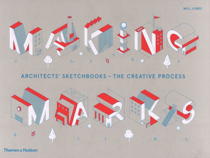
Making marks: architects' sketchbooks, the creative process
Actions:
Prix:
$66.00
(disponible sur commande)
Résumé:
''Making Marks'' showcases the private sketchbooks of the world's most visually inventive architects, revealing just how much drawing by hand informs great contemporary architecture. Taking a post-digital perspective, the sixty renowned architects whose work is collected here show how drawing and new forms of manual presentation have been refined since the reawakening of this basic technique. Notepads, stacks of paper, pencils and fine-point pens are as present in the architect's studio as phalanxes of screens. Revealing why and how hand-drawing still matters, this global survey presents the freehand drawings, vibrant watercolours and abstract impressions of rising talents and well-known names, including Jun Igarashi and Brian MacKay-Lyons.
Classification:
livres
livres
Publication:
mars 2019
mars 2019
Sujet:
Dessin d’architecture
Dessin d’architecture
Classification:
livres
livres
Titre:
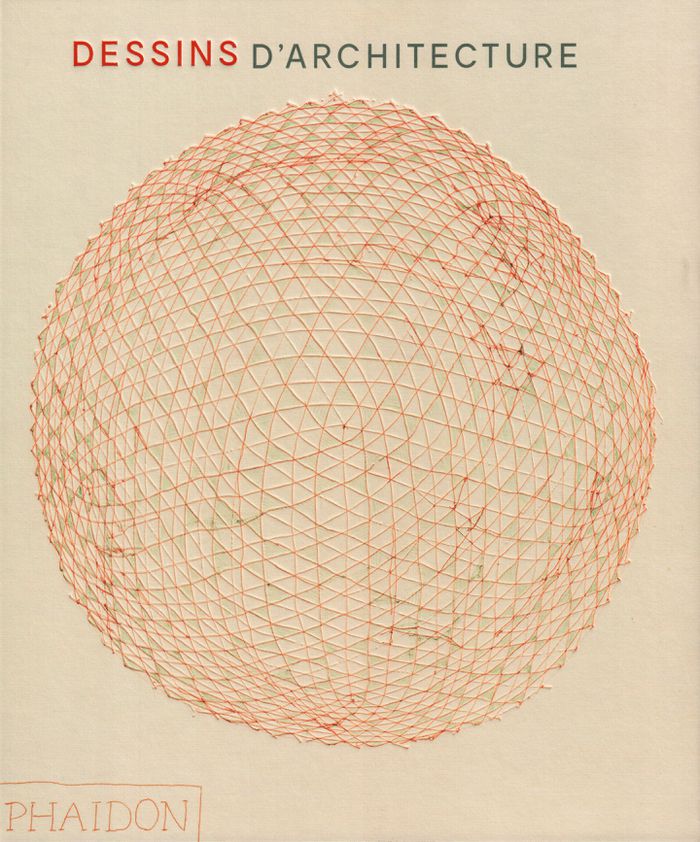
Dessins d'architecture
Dessins d'architecture
Actions:
Prix:
$105.00
(disponible sur commande)
Résumé:
Une découverte de l'histoire de l'architecture et de son riche patrimoine à travers une sélection de dessins, plans ou croquis de tous styles et époques, de Michel-Ange à Tadao Ando.
$105.00
(disponible sur commande)
Résumé:
Une découverte de l'histoire de l'architecture et de son riche patrimoine à travers une sélection de dessins, plans ou croquis de tous styles et époques, de Michel-Ange à Tadao Ando.
Titre:
Dessins d'architecture
Actions:
Prix:
$105.00
(disponible sur commande)
Résumé:
Une découverte de l'histoire de l'architecture et de son riche patrimoine à travers une sélection de dessins, plans ou croquis de tous styles et époques, de Michel-Ange à Tadao Ando.
Dessins d'architecture
Actions:
Prix:
$105.00
(disponible sur commande)
Résumé:
Une découverte de l'histoire de l'architecture et de son riche patrimoine à travers une sélection de dessins, plans ou croquis de tous styles et époques, de Michel-Ange à Tadao Ando.
Classification:
livres
livres
Publication:
mai 2019
mai 2019
Sujet:
Dessin d’architecture
Dessin d’architecture
Classification:
livres
livres
Actions:
Prix:
$59.95
(disponible sur commande)
Résumé:
This book explores computation, specifically the craft of writing computer code, as a medium for drawing. Exercises, essays, algorithms, diagrams, and drawings are woven together to offer instruction, insight, and theories that are valuable to practicing architects, artists, and scholars. This book can serve as a primer for those new to programming or motivation and(...)
Titre:
Computational drawing: from foundational exercises to theories of representation
Actions:
Prix:
$59.95
(disponible sur commande)
Résumé:
This book explores computation, specifically the craft of writing computer code, as a medium for drawing. Exercises, essays, algorithms, diagrams, and drawings are woven together to offer instruction, insight, and theories that are valuable to practicing architects, artists, and scholars. This book can serve as a primer for those new to programming or motivation and context for those with experience.
Classification:
livres
livres
Publication:
juin 2019
juin 2019
Sujet:
Dessin d’architecture
Dessin d’architecture
Classification:
livres
livres
Actions:
Prix:
$52.95
(disponible sur commande)
Résumé:
The period between the 1950s and the 1970s saw the flourishing of a number of radical movements in architecture throughout Europe, producing a wide range of experimental expression. 'Cloud ’68' presents a selection of 173 graphic pieces—including lithographs, drawings, original etchings, and ephemera—that together give a sense of the diverse approaches that thrived in(...)
Sujet:
Dessin d’architecture
Dessin d’architecture
Publication:
octobre 2019
octobre 2019
Titre:
Cloud '68: Paper voice. Smiljan Radic's collection of radical architecture
Actions:
Prix:
$52.95
(disponible sur commande)
Résumé:
The period between the 1950s and the 1970s saw the flourishing of a number of radical movements in architecture throughout Europe, producing a wide range of experimental expression. 'Cloud ’68' presents a selection of 173 graphic pieces—including lithographs, drawings, original etchings, and ephemera—that together give a sense of the diverse approaches that thrived in those years. Drawing from the personal collection of the Chilean architect Smiljan Radic, the book features works by Constant, Guy Debord, Asger Jorn, Haus-Rucker-Co, Archigram, Utopie, Superstudio, and many others. Apart from essays by Tom McDonough and Lara Schrijver Cloud ’68 contains interview fragments by the critic and curator Hans Ulrich Obrist, who talked to the key figures of these movements.
Classification:
livres
livres
Publication:
octobre 2019
octobre 2019
Sujet:
Dessin d’architecture
Dessin d’architecture