$35.95
(disponible sur commande)
Résumé:
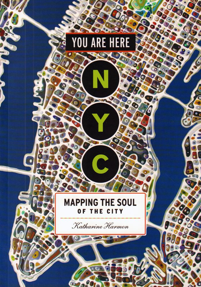
Maps are magical. Every graphic, like every story, has a point of view, and New York is rife with mapmaking possibilities, thick with mythology, and glutted with history. "You are here: NYC" assembles some two hundred maps charting every inch and facet of the five boroughs, depicting New Yorks of past and present, and a city that never was. "A nightclub map of Harlem"(...)
You are here : NYC mapping the soul of a city
Actions:
Prix:
$35.95
(disponible sur commande)
Résumé:
Maps are magical. Every graphic, like every story, has a point of view, and New York is rife with mapmaking possibilities, thick with mythology, and glutted with history. "You are here: NYC" assembles some two hundred maps charting every inch and facet of the five boroughs, depicting New Yorks of past and present, and a city that never was. "A nightclub map of Harlem" traces a boozy night from the Radium and the Cotton Club to the Savoy and then the Lafayette; "Wonders of New York" pinpoints three hundred sites of interest, including the alleged location of Captain Kidd's buried treasure; the Ghostbusters subway map plots the route from Astral Projections Place to Stay Puft Street; and a rejected proposal of ornate topiaries illustrates a Central Park that might have been. This sequel to the best-selling You Are Here includes original essays by Bob Mankoff, Maria Popova, Sarah Boxer, and Rebecca Cooper, among others.
$38.95
(disponible sur commande)
Résumé:
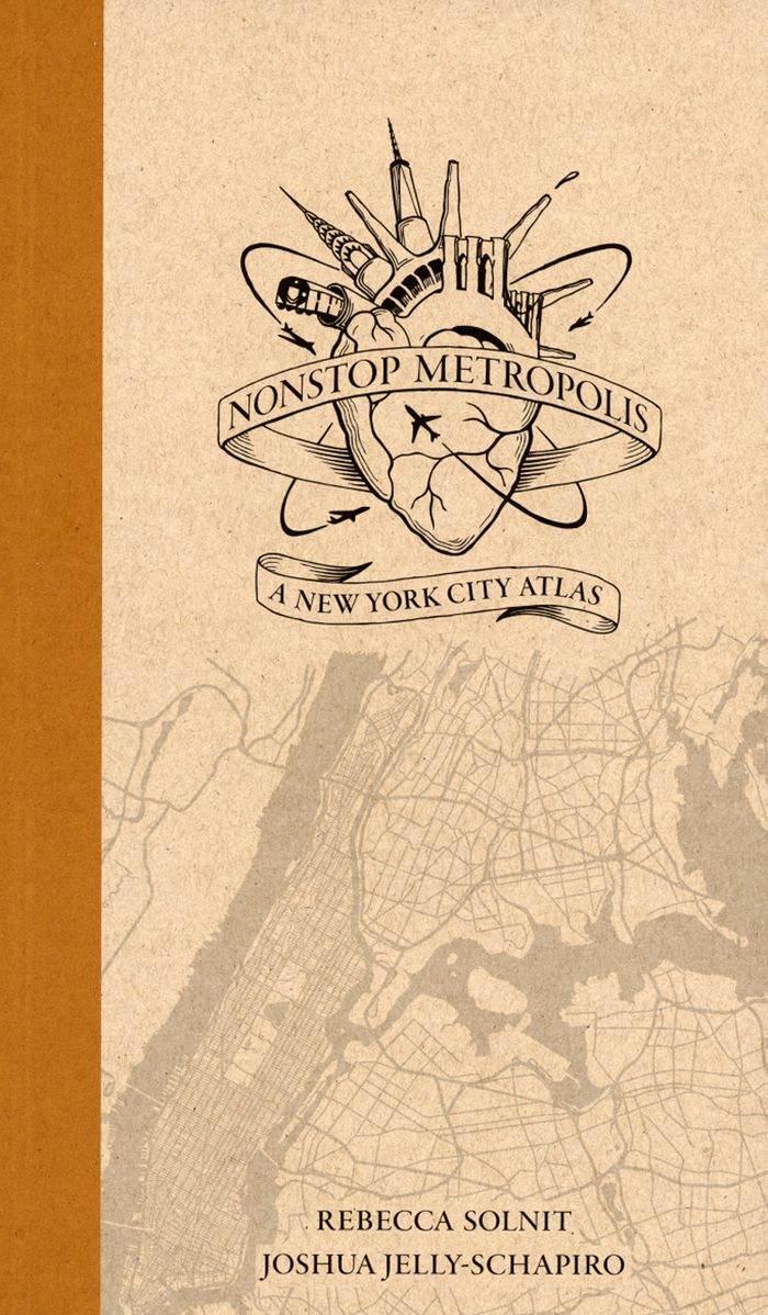
''Nonstop Metropolis'', the culminating volume in a trilogy of atlases, conveys innumerable unbound experiences of New York City through twenty-six imaginative maps and informative essays. Bringing together the insights of dozens of experts—from linguists to music historians, ethnographers, urbanists, and environmental journalists—amplified by cartographers, artists, and(...)
octobre 2016
Nonstop metropolis: a New York City atlas
Actions:
Prix:
$38.95
(disponible sur commande)
Résumé:
''Nonstop Metropolis'', the culminating volume in a trilogy of atlases, conveys innumerable unbound experiences of New York City through twenty-six imaginative maps and informative essays. Bringing together the insights of dozens of experts—from linguists to music historians, ethnographers, urbanists, and environmental journalists—amplified by cartographers, artists, and photographers, it explores all five boroughs of New York City and parts of nearby New Jersey. We are invited to travel through Manhattan’s playgrounds, from polyglot Queens to many-faceted Brooklyn, and from the resilient Bronx to the mystical kung fu hip-hop mecca of Staten Island.
$38.99
(disponible en magasin)
Résumé:
It is perhaps the eighth wonder of our world that despite modern mapping and satellite photography our planet continues to surprise us. Hidden lairs beneath layers of rock, forgotten cities rising out of deserted lands and even mankind's own feats of engineering eccentricity lie in the most unusual of destinations. Travis Elborough goes in search of the obscure and(...)
Atlas of improbable places: a journey to the world's most unusual corners
Actions:
Prix:
$38.99
(disponible en magasin)
Résumé:
It is perhaps the eighth wonder of our world that despite modern mapping and satellite photography our planet continues to surprise us. Hidden lairs beneath layers of rock, forgotten cities rising out of deserted lands and even mankind's own feats of engineering eccentricity lie in the most unusual of destinations. Travis Elborough goes in search of the obscure and bizarre, the beautiful and estranged. Taking in the defiant relics of ancient cities such as Ani, a once thriving metropolis lost to conquered lands, and the church tower of San Juan Parangaricuto, that miraculously stands as the sole survivor of a town sunk by lava. Through the labyrinths of Berlin and Beijing - underground realms dug for refuge, espionage and even, as Canada's Moose Jaw, used as the playground for gangsters trading liquor and money over cards. Never forgetting the freaks and wonders of nature's own unusual masterpieces: the magical underground river shaped like a dragon's mouth in the Philippines and the floating world of Palmerston. With beautiful maps and stunning photography illustrating each destination, Atlas of Improbable Places is a fascinating voyage to the world's most incredible destinations. As the Island of Dolls and the hauntingly titled Door to Hell - an inextinguishable fire pit - attest, mystery is never far away. The truths and myths behind their creation are as varied as the destinations themselves. Standing as symbols of worship, testaments to kingships or even the strange and wonderful traditions of old and new, these curious places are not just extraordinary sights but reflections on man's own relationship with the world around us
$109.00
(disponible sur commande)
Résumé:
"Third coast atlas: prelude to a plan" describes the conditions for urbanization across the Great Lakes region. It assembles a multi-layered, empirical description of urbanization processes within the drainage basins of the five Great Lakes and the Saint Lawrence River. This thick description encompasses a range of representational forms including maps, plans, diagrams,(...)
juin 2017
Third coast atlas: prelude to a plan
Actions:
Prix:
$109.00
(disponible sur commande)
Résumé:
"Third coast atlas: prelude to a plan" describes the conditions for urbanization across the Great Lakes region. It assembles a multi-layered, empirical description of urbanization processes within the drainage basins of the five Great Lakes and the Saint Lawrence River. This thick description encompasses a range of representational forms including maps, plans, diagrams, timelines, and photographs, as well as speculative design research projects and critical texts. Postponing diagnosis, let alone treatment of these conditions, Third Coast Atlas aspires to simply describe. It proposes a new geographic gestalt for urban analysis. Superimposed upon the North American continent, and with easily recognizable yet divergent political and geological borders, this megaregion traverses portions of eight U.S. states and two Canadian provinces, as well as the world’s largest collection of surficial fresh water. Third Coast Atlas characterizes the littoral edge as a distinct field of urbanization, and constructs a reading of the region both specific and speculative.
$63.95
(disponible sur commande)
Résumé:
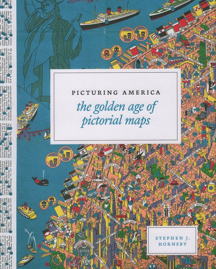
Instructive, amusing, colorful—pictorial maps have been used and admired since the first medieval cartographer put pen to paper depicting mountains and trees across countries, people and objects around margins, and sea monsters in oceans. More recent generations of pictorial map artists have continued that traditional mixture of whimsy and fact, combining cartographic(...)
Picturing America: the golden age of pictorial maps
Actions:
Prix:
$63.95
(disponible sur commande)
Résumé:
Instructive, amusing, colorful—pictorial maps have been used and admired since the first medieval cartographer put pen to paper depicting mountains and trees across countries, people and objects around margins, and sea monsters in oceans. More recent generations of pictorial map artists have continued that traditional mixture of whimsy and fact, combining cartographic elements with text and images and featuring bold and arresting designs, bright and cheerful colors, and lively detail. In the United States, the art form flourished from the 1920s through the 1970s, when thousands of innovative maps were mass-produced for use as advertisements and decorative objects—the golden age of American pictorial maps. "Picturing America" is the first book to showcase this vivid and popular genre of maps. Geographer Stephen J. Hornsby gathers together 158 delightful pictorial jewels, most drawn from the extensive collections of the Library of Congress. In his informative introduction, Hornsby outlines the development of the cartographic form, identifies several representative artists, describes the process of creating a pictorial map, and considers the significance of the form in the history of Western cartography. Organized into six thematic sections, "Picturing America" covers a vast swath of the pictorial map tradition during its golden age, ranging from “Maps to Amuse” to “Maps for War.” Hornsby has unearthed the most fascinating and visually striking maps the United States has to offer: Disney cartoon maps, college campus maps, kooky state tourism ads, World War II promotional posters, and many more.
$57.00
(disponible sur commande)
Résumé:
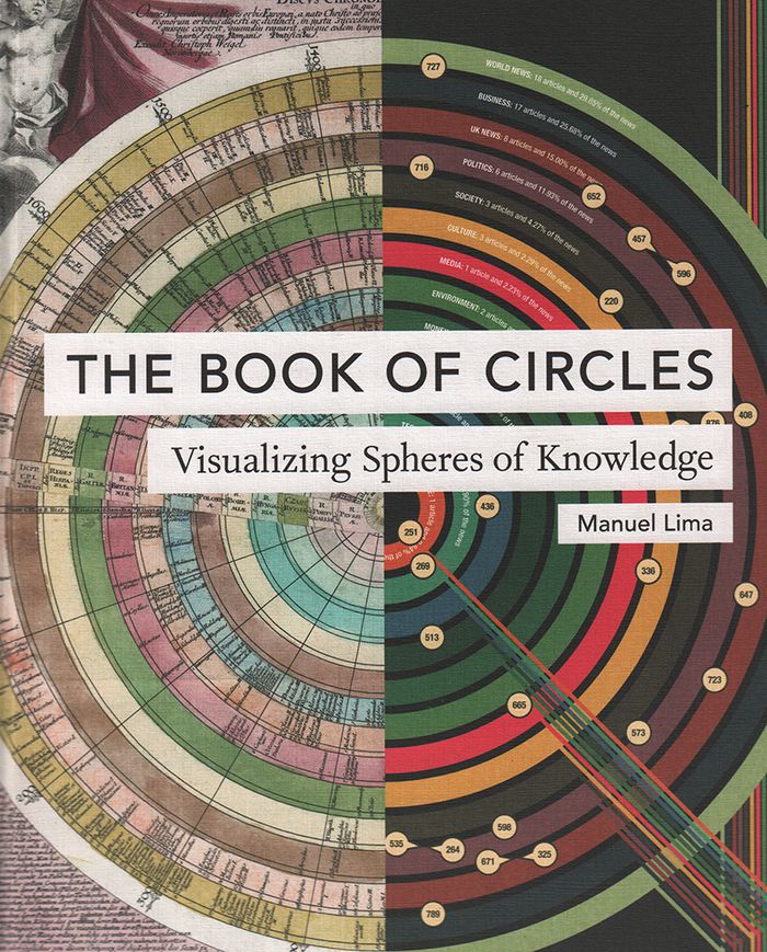
Three hundred detailed and colorful illustrations from around the world cover an encyclopedic array of subjects'architecture, urban planning, fine art, design, fashion, technology, religion, cartography, biology, astronomy, and physics, all based on the circle, the universal symbol of unity, wholeness, infinity, enlightenment, and perfection.
The book of circles: visualizing spheres of knowdlege
Actions:
Prix:
$57.00
(disponible sur commande)
Résumé:
Three hundred detailed and colorful illustrations from around the world cover an encyclopedic array of subjects'architecture, urban planning, fine art, design, fashion, technology, religion, cartography, biology, astronomy, and physics, all based on the circle, the universal symbol of unity, wholeness, infinity, enlightenment, and perfection.
This morning, I caught you in a drop on my finger: about the city in time and space, and water
$39.95
(disponible sur commande)
Résumé:
Memories carried by water drench our biographies and shared history. In this book, edited and curated by Moniek Driesse, the past, present, and future imaginaries that govern our relationship with water are permitted to draw maps that can serve as tools for urban administrators, researchers, and citizens who live the reality determined by them. With this approach,(...)
This morning, I caught you in a drop on my finger: about the city in time and space, and water
Actions:
Prix:
$39.95
(disponible sur commande)
Résumé:
Memories carried by water drench our biographies and shared history. In this book, edited and curated by Moniek Driesse, the past, present, and future imaginaries that govern our relationship with water are permitted to draw maps that can serve as tools for urban administrators, researchers, and citizens who live the reality determined by them. With this approach, long-term memories carried by the urban landscape reflect into possible narratives of hope for the future. The focus is on Mexico City, where rivers have turned into highways and subterranean basins are drying out, presenting new dangers to the city.
Cartes
$35.00
(disponible sur commande)
Résumé:
Cet ouvrage réunit plus de 250 cartes, de la naissance de la cartographie aux cartes numériques avant-gardistes du XXIe siècle. Ces exemples reflètent les nombreuses raisons pour lesquelles on réalise des cartes : pour trouver son chemin, revendiquer un droit de propriété, encourager la colonisation ou afficher sa puissance politique. Sélectionnées par un panel de(...)
Cartes
Actions:
Prix:
$35.00
(disponible sur commande)
Résumé:
Cet ouvrage réunit plus de 250 cartes, de la naissance de la cartographie aux cartes numériques avant-gardistes du XXIe siècle. Ces exemples reflètent les nombreuses raisons pour lesquelles on réalise des cartes : pour trouver son chemin, revendiquer un droit de propriété, encourager la colonisation ou afficher sa puissance politique. Sélectionnées par un panel de conservateurs, d’universitaires et de collectionneurs, les cartes, présentées par paires, se répondent ou se distinguent. La sélection inclut des cartes du monde entier, par les plus grands noms de la cartographie ou par des cartographes moins connus.
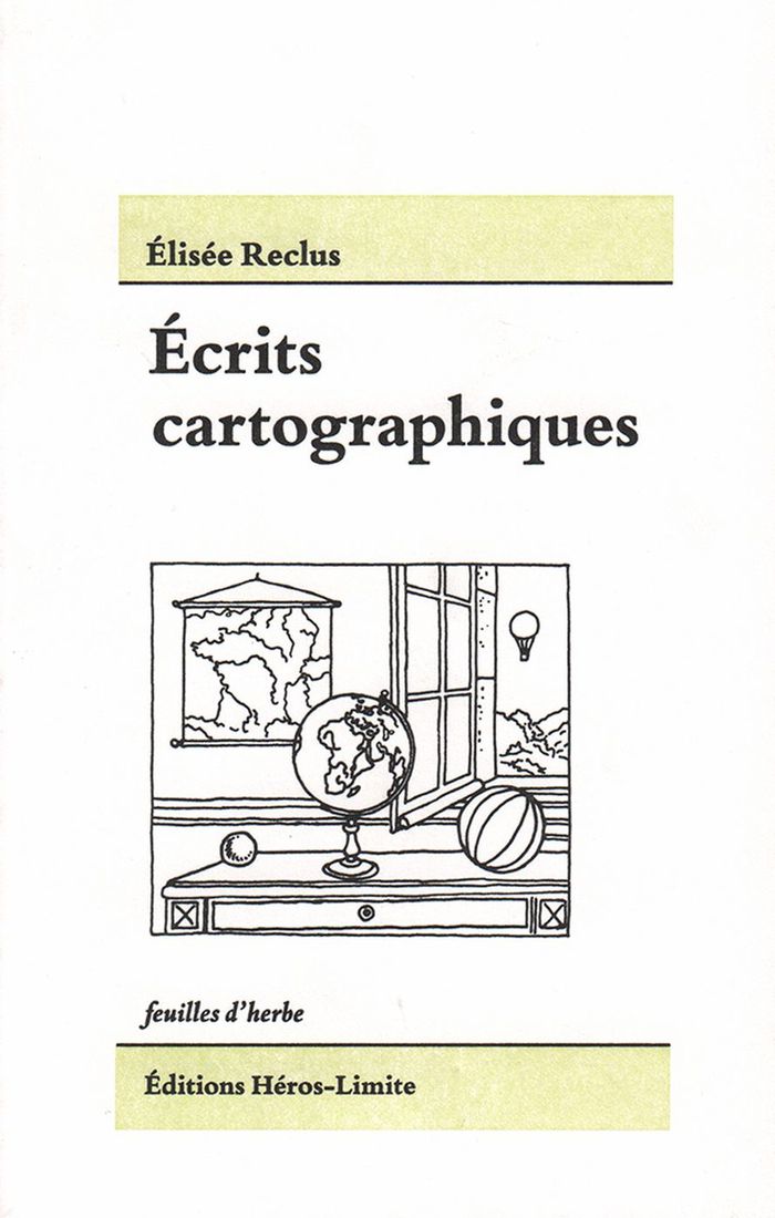
Écrits cartographiques
$22.95
(disponible sur commande)
Résumé:
'Écrits cartographiques' rassemble les écrits cartographiques majeurs, pour une part inédits, d’Élisée Reclus et de ses proches collaborateurs, Paul Reclus, Charles Perron et Franz Schrader. Aujourd’hui, plus que jamais, nous avons besoin d’une cartographie capable de donner à sentir et percevoir l’unité terrestre, en son tout et en ses parties. Les objets (globes,(...)
Écrits cartographiques
Actions:
Prix:
$22.95
(disponible sur commande)
Résumé:
'Écrits cartographiques' rassemble les écrits cartographiques majeurs, pour une part inédits, d’Élisée Reclus et de ses proches collaborateurs, Paul Reclus, Charles Perron et Franz Schrader. Aujourd’hui, plus que jamais, nous avons besoin d’une cartographie capable de donner à sentir et percevoir l’unité terrestre, en son tout et en ses parties. Les objets (globes, cartes, reliefs) conçus et imaginés par Reclus et ses proches l’ont été dans ce but.
$49.95
(disponible en magasin)
Résumé:
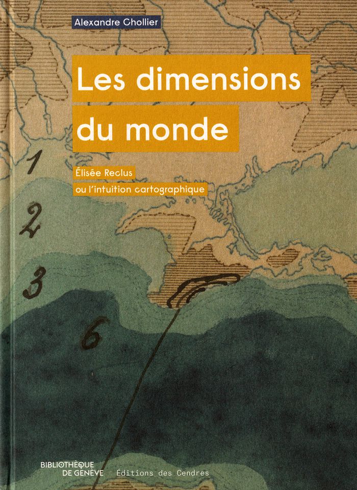
Cette étude de l’œuvre du géographe et intellectuel anarchiste est centrée sur sa démarche cartographique, sa volonté d'élaborer une carte de l'ensemble de la Terre, de concevoir ce qu'il appelait un "Grand Globe", suffisamment grand pour que l'on puisse distinguer les traits d'ensemble et de détail des reliefs. Si le projet ne vit pas le jour, il a contribué à renouveler(...)
Les dimensions du monde : Élisée Reclus ou l’intuition cartographique
Actions:
Prix:
$49.95
(disponible en magasin)
Résumé:
Cette étude de l’œuvre du géographe et intellectuel anarchiste est centrée sur sa démarche cartographique, sa volonté d'élaborer une carte de l'ensemble de la Terre, de concevoir ce qu'il appelait un "Grand Globe", suffisamment grand pour que l'on puisse distinguer les traits d'ensemble et de détail des reliefs. Si le projet ne vit pas le jour, il a contribué à renouveler le regard sur le monde.
