109 Résultats
Classification:
livres
livres
Titre:
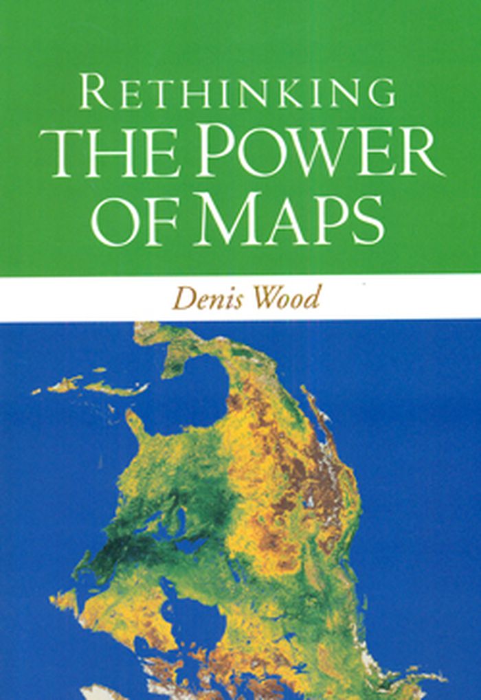
Rethinking the power of maps
Rethinking the power of maps
Actions:
Prix:
$33.50
(disponible sur commande)
Résumé:
A contemporary follow-up to the groundbreaking Power of Maps, this book takes a look at what maps do, whose interests they serve, and how they can be used in surprising, creative, and radical ways. Denis Wood describes how cartography facilitated the rise of the modern state and how maps continue to embody and project the interests of their creators. He demystifies the(...)
Titre:
Rethinking the power of maps
Actions:
Prix:
$33.50
(disponible sur commande)
Résumé:
A contemporary follow-up to the groundbreaking Power of Maps, this book takes a look at what maps do, whose interests they serve, and how they can be used in surprising, creative, and radical ways. Denis Wood describes how cartography facilitated the rise of the modern state and how maps continue to embody and project the interests of their creators. He demystifies the hidden assumptions of mapmaking and explores the promises and limitations of diverse counter-mapping practices today. Ilustrations include U.S. Geological Survey maps; electoral and transportation maps; and numerous examples of critical cartography, participatory GIS, and map art.
Classification:
livres
livres
Publication:
mai 2010
mai 2010
Classification:
livres
livres
Actions:
Prix:
$29.95
(disponible sur commande)
Résumé:
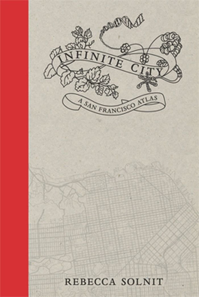
Infinite City, Rebecca Solnit’s reinvention of the traditional atlas, examines the many layers of meaning in one place, the San Francisco Bay Area. Aided by artists, writers, cartographers, and twenty-two gorgeous color maps, each of which illuminates the city and its surroundings as experienced by different inhabitants.
$29.95
(disponible sur commande)
Résumé:
Infinite City, Rebecca Solnit’s reinvention of the traditional atlas, examines the many layers of meaning in one place, the San Francisco Bay Area. Aided by artists, writers, cartographers, and twenty-two gorgeous color maps, each of which illuminates the city and its surroundings as experienced by different inhabitants.
Titre:
Infinite city: a San Francisco atlas
Actions:
Prix:
$29.95
(disponible sur commande)
Résumé:
Infinite City, Rebecca Solnit’s reinvention of the traditional atlas, examines the many layers of meaning in one place, the San Francisco Bay Area. Aided by artists, writers, cartographers, and twenty-two gorgeous color maps, each of which illuminates the city and its surroundings as experienced by different inhabitants.
Classification:
livres
livres
Publication:
novembre 2010
novembre 2010
Classification:
livres
livres
Actions:
Prix:
$21.00
(disponible sur commande)
Résumé:
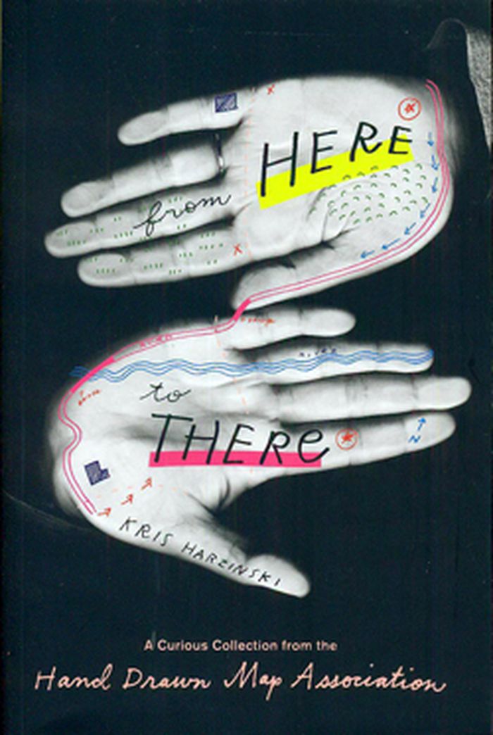
This book celebrates the ephemeral documents of hand drawn maps -usually forgotten or tossed aside after having served their purpose- giving them their due as artifacts representing stories from people's lives around the world.
$21.00
(disponible sur commande)
Résumé:
This book celebrates the ephemeral documents of hand drawn maps -usually forgotten or tossed aside after having served their purpose- giving them their due as artifacts representing stories from people's lives around the world.
Titre:
From here to there: a curious collection from the hand drawn map association
Actions:
Prix:
$21.00
(disponible sur commande)
Résumé:
This book celebrates the ephemeral documents of hand drawn maps -usually forgotten or tossed aside after having served their purpose- giving them their due as artifacts representing stories from people's lives around the world.
Classification:
livres
livres
Publication:
août 2010
août 2010
Classification:
livres
livres
Prix:
$34.95
(disponible sur commande)
Résumé:
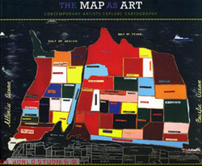
This publication presents 360 colorful, map-related artistic visions by artists for whom maps are the inspiration for creating art. Using paint, salt, souvenir tea towels, or their own bodies, it explore a world free of geographical constraints.
$34.95
(disponible sur commande)
Résumé:
This publication presents 360 colorful, map-related artistic visions by artists for whom maps are the inspiration for creating art. Using paint, salt, souvenir tea towels, or their own bodies, it explore a world free of geographical constraints.
Titre:
The map as art: contemporary artist explore cartography
Actions:
Prix:
$34.95
(disponible sur commande)
Résumé:
This publication presents 360 colorful, map-related artistic visions by artists for whom maps are the inspiration for creating art. Using paint, salt, souvenir tea towels, or their own bodies, it explore a world free of geographical constraints.
Classification:
livres
livres
Publication:
août 2010
août 2010
Classification:
livres
livres
Titre:
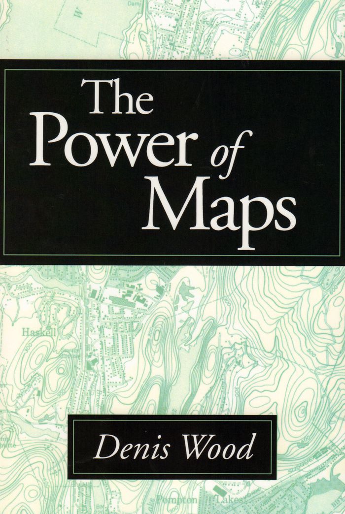
The power of maps
The power of maps
Actions:
Prix:
$47.95
(disponible sur commande)
Résumé:
This volume ventures into terrain where even the most sophisticated map fails to lead--through the mapmaker's bias. Denis Wood shows how maps are not impartial reference objects, but rather instruments of communication, persuasion, and power. Like paintings, they express a point of view. By connecting us to a reality that could not exist in the absence of maps--a world of(...)
Titre:
The power of maps
Actions:
Prix:
$47.95
(disponible sur commande)
Résumé:
This volume ventures into terrain where even the most sophisticated map fails to lead--through the mapmaker's bias. Denis Wood shows how maps are not impartial reference objects, but rather instruments of communication, persuasion, and power. Like paintings, they express a point of view. By connecting us to a reality that could not exist in the absence of maps--a world of property lines and voting rights, taxation districts and enterprise zones--they embody and project the interests of their creators. Sampling the scope of maps available today, illustrations include Peter Gould's AIDS map, Tom Van Sant's map of the earth, U.S. Geological Survey maps, and a child's drawing of the world.
Classification:
livres
livres
Publication:
octobre 1992
octobre 1992
Classification:
livres
livres
Prix:
$69.95
(disponible sur commande)
Résumé:
Demonstrating how cartography is a valuable instrument for urban research, this cartographic book reveals the impact of infrastructure on a region's development in an original manner. Bieke Cattoor has mapped and analysed the roads, railways and communications network of Belgium's Kortrijk region, overlaying them with historical and topical information. With this(...)
Titre:
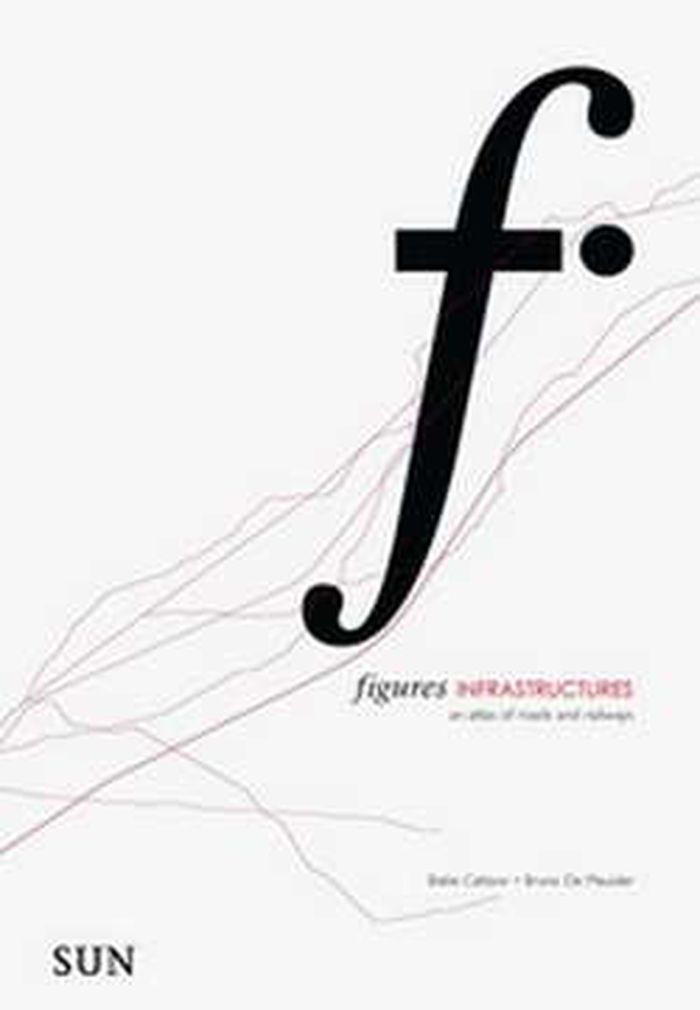
Figures, Infrastructures: an atlas of roads and railways
Actions:
Prix:
$69.95
(disponible sur commande)
Résumé:
Demonstrating how cartography is a valuable instrument for urban research, this cartographic book reveals the impact of infrastructure on a region's development in an original manner. Bieke Cattoor has mapped and analysed the roads, railways and communications network of Belgium's Kortrijk region, overlaying them with historical and topical information. With this perspective, the varied elements in an infrastructural network are clarified, and Cattoor identifies how roads and railways form related patterns and lead to nodes. The book reveals the complexity of our layered urban landscape with a new and simple representational method, and suggests how this method can be deployed in urban research as a whole.
Classification:
livres
livres
Publication:
novembre 2010
novembre 2010
Classification:
livres
livres
Actions:
Prix:
$21.95
(disponible sur commande)
Résumé:
Cette fascinante et époustouflante collection comprend, entre autres, l'un des plus ancien plans connus de Manhattan, ainsi qu'un plan détaillé de Central Park, une carte topographique de l'île de Manhattan, un ancien plan de métro. des vues de Brooklyn et de Queens et bien d'autres encore. Des données sur l'impression, ainsi que d'autres dates et faits historiques(...)
Publication:
novembre 2010
novembre 2010
Titre:
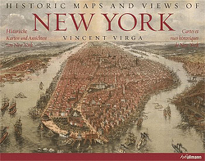
New York: Cartes et vues historiques de New York
Actions:
Prix:
$21.95
(disponible sur commande)
Résumé:
Cette fascinante et époustouflante collection comprend, entre autres, l'un des plus ancien plans connus de Manhattan, ainsi qu'un plan détaillé de Central Park, une carte topographique de l'île de Manhattan, un ancien plan de métro. des vues de Brooklyn et de Queens et bien d'autres encore. Des données sur l'impression, ainsi que d'autres dates et faits historiques importants sont fournis par les descriptions des cartes. L'excellent procédé technique de reproduction confère à toutes les cartes des couleurs brillantes et des détails aux contours précis.
Classification:
livres
livres
Publication:
novembre 2010
novembre 2010
Classification:
livres
livres
Titre:
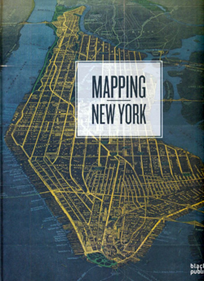
Mapping New York
Mapping New York
Actions:
Prix:
$49.95
(disponible sur commande)
Résumé:
A beautifully illustrated book with distinctive maps dating back to the 16th Century, when New York was known as New Amsterdam and founded by the Dutch as a commercial trading post, right up to the present day. Mapping New York provides a pictorial history of the city – both documenting it as a leader in commerce and as one of the most built up urban areas in the world.(...)
Titre:
Mapping New York
Actions:
Prix:
$49.95
(disponible sur commande)
Résumé:
A beautifully illustrated book with distinctive maps dating back to the 16th Century, when New York was known as New Amsterdam and founded by the Dutch as a commercial trading post, right up to the present day. Mapping New York provides a pictorial history of the city – both documenting it as a leader in commerce and as one of the most built up urban areas in the world. This book focuses on maps from the 20th and 21st century, thematically arranged with maps on population, military, water, transport, commerce, crime, as well as planning and developing maps, and boundaries of the five boroughs. Featuring well known graphics such as the New York City subway map, artists’ representations include Claes Oldenburg’s Soft Manhattan #1: Postal Codes from 1966 and the poem, “Manhattan,” in the shape of the city by Howard Horowitz.
Classification:
livres
livres
Publication:
octobre 2009
octobre 2009
Classification:
livres
livres
Actions:
Prix:
$126.95
(disponible sur commande)
Résumé:
In winter 2006, under the stewardship of philosopher Wolfgang Scheppe, a collective of students from the IUAV University in Venice fanned out to subject their city to a forensic structural mapping. Out of this fieldwork, conducted in the Situationist psychogeography tradition, there developed a three-year urban project that produced an enormous archive comprising tens of(...)
Titre:
Migropolis: Venice, atlas of a global situation
Actions:
Prix:
$126.95
(disponible sur commande)
Résumé:
In winter 2006, under the stewardship of philosopher Wolfgang Scheppe, a collective of students from the IUAV University in Venice fanned out to subject their city to a forensic structural mapping. Out of this fieldwork, conducted in the Situationist psychogeography tradition, there developed a three-year urban project that produced an enormous archive comprising tens of thousands of photographs, case studies, movement profiles and statistic data. From this archive, Venice, sited as it is at the junction of three migration corridors, emerges as a classic instance of the increasingly globalized city in which a decimated inner-city population meets armies of tourists and a parallel economy supported by illegal immigrants. In a map that cleverly branches out into visual essays, written essays, data maps and interviews, the globalized territory of Venice is microscopically dissected and defined as an urban metaphor, the city becoming an “atlas of a global situation.”
Classification:
livres
livres
Publication:
octobre 2009
octobre 2009
Classification:
livres
livres
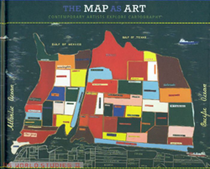
Titre:
The map as art
The map as art
Actions:
Prix:
$55.00
(disponible sur commande)
Résumé:
Maps can be simple tools, comfortable in their familiar form. Or they can lead to different destinations: places turned upside down or inside out, territories riddled with marks understood only by their maker, realms connected more to the interior mind than to the exterior world. These are the places of artists' maps, that happy combination of information and illusion(...)
Titre:
The map as art
Actions:
Prix:
$55.00
(disponible sur commande)
Résumé:
Maps can be simple tools, comfortable in their familiar form. Or they can lead to different destinations: places turned upside down or inside out, territories riddled with marks understood only by their maker, realms connected more to the interior mind than to the exterior world. These are the places of artists' maps, that happy combination of information and illusion that flourishes in basement studios and downtown galleries alike. It is little surprise that, in an era of globalized politics, culture, and ecology, contemporary artists are drawn to maps to express their visions. Using paint, salt, souvenir tea towels, or their own bodies, map artists explore a world free of geographical constraints. In The Map as Art, Harmon collects 360 colorful, map-related artistic visions by artists such as Ed Ruscha, Julian Schnabel, Olafur Eliasson, Maira Kalman, William Kentridge, and Vik Muniz and more.
Classification:
livres
livres
Publication:
novembre 2009
novembre 2009