livres
$102.00
(disponible sur commande)
Résumé:
This sequel to our highly acclaimed title "An Atlas of Rare City Maps" collects over 100 views dating between 1835 and 1902, showing the streets, buildings, churches, bridges, waterways, and surrounding(...)
Bird's eye view : historic lithographs of North American cities
Actions:
Prix:
$102.00
(disponible sur commande)
Résumé:
This sequel to our highly acclaimed title "An Atlas of Rare City Maps" collects over 100 views dating between 1835 and 1902, showing the streets, buildings, churches, bridges, waterways, and surrounding countryside of North American towns, ranging from burgeoning metropolitan centers to small logging towns and mining camps. Baltimore, Brooklyn, Denver, Indianapolis, Memphis, Montreal, New Orleans, Pittsburgh, Seattle, Syracuse, and Washington are just a few of the cities presented in this collection. The exquisite colour and fine detail of these bird's eye views have been reproduced in all their original glory; also included is an introduction by John W. Reps providing a background on the artistic process and on urban development in the nineteenth century.
livres
octobre 1998, New York
Dessin d’architecture
$63.00
(disponible sur commande)
Résumé:
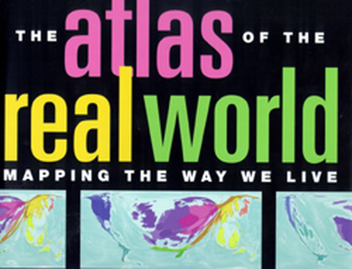
366 cartograms cover a vast array of subjects, providing a definitive reference on how regions and countries compare in resources, production, consumption, and more. Advances in technology have made widespread and detailed data gathering easier, resulting in a deluge of statistics on subjects as diverse as literacy rates, military spending, overweight children,(...)
Dessin d’architecture
octobre 2008, New York
The atlas of the real world: mapping the way we live
Actions:
Prix:
$63.00
(disponible sur commande)
Résumé:
366 cartograms cover a vast array of subjects, providing a definitive reference on how regions and countries compare in resources, production, consumption, and more. Advances in technology have made widespread and detailed data gathering easier, resulting in a deluge of statistics on subjects as diverse as literacy rates, military spending, overweight children, television viewing figures, and endangered species. But how do we represent and compare data from one part of the world to another in a useful way? Here, sophisticated software combined with comprehensive analysis of every aspect of life represents the world as it really is. Digitally modified maps depict the areas and countries of the world not by their physical size but by their demographic importance on a vast range of topics. The rainforests of South America, with thirty percent of the world's fresh water, make the continent balloon in an analysis of water resources, whereas Kuwait, dependent on desalinated seawater, disappears from the map. Fuel use, alcohol consumption, population, malaria: here are hundreds of key indicators to the way we live. This innovative and exceptionally accessible reference work will be an indispensable tool for journalists, economists, marketers, politicians, financiers, environmentalists, and scholars. Its cartograms are augmented by graphs, tables, and full commentaries. 366 color maps. About the Author Daniel Dorling is Professor of Human Geography at the University of Sheffield, England. Mark Newman is Assistant Professor of Physics and Complex Systems at the University of Michigan. Anna Barford is a Research Associate at the University of Sheffield.
Dessin d’architecture
$95.00
(disponible sur commande)
Résumé:
"Volume 3 shows the details of some of the most complex RR terminals in the USA, such as Chicago, Detroit, Cincinnati, Cleveland, Columbus, etc. In recent years, all of those layouts have been greatly reduced, due to mergers and changes in types of traffic. So the 1946 Atlas will be a suitable 'monument to what once was' -- at the peak of railroad passenger and local(...)
A railroad of the United States in 1946, vol 3, Indiana, Lower Michigan & Ohio
Actions:
Prix:
$95.00
(disponible sur commande)
Résumé:
"Volume 3 shows the details of some of the most complex RR terminals in the USA, such as Chicago, Detroit, Cincinnati, Cleveland, Columbus, etc. In recent years, all of those layouts have been greatly reduced, due to mergers and changes in types of traffic. So the 1946 Atlas will be a suitable 'monument to what once was' -- at the peak of railroad passenger and local freight activity!" -- Richard B. Hasselman, Senior Vice President of Operations, CONRAIL
Dessin d’architecture
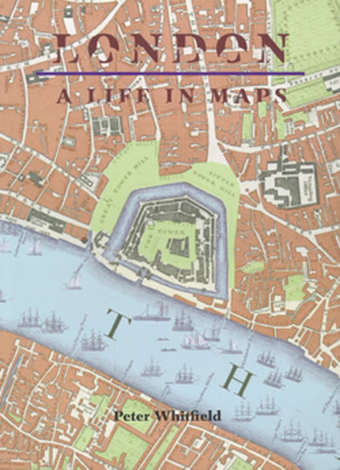
London: a life in maps
$29.95
(disponible sur commande)
Résumé:
Approximately 100 important maps from the mid-sisteenth century to the present day are illutrated and discussed in this book. For all those who know London, but who wish to look behind the modern façade.
London: a life in maps
Actions:
Prix:
$29.95
(disponible sur commande)
Résumé:
Approximately 100 important maps from the mid-sisteenth century to the present day are illutrated and discussed in this book. For all those who know London, but who wish to look behind the modern façade.
Dessin d’architecture
$45.95
(disponible sur commande)
Résumé:
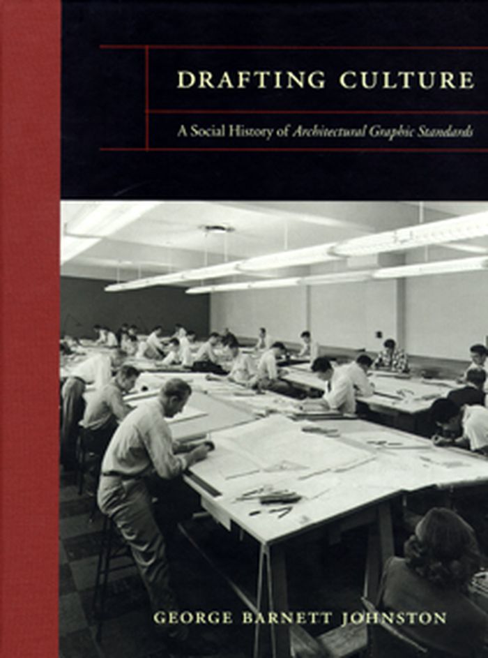
First published in 1932, and now in its eleventh edition, this book is a definitive technical reference for architects.
Drafting culture: a social history of architectural graphic standards
Actions:
Prix:
$45.95
(disponible sur commande)
Résumé:
First published in 1932, and now in its eleventh edition, this book is a definitive technical reference for architects.
Dessin d’architecture
$65.00
(disponible sur commande)
Résumé:
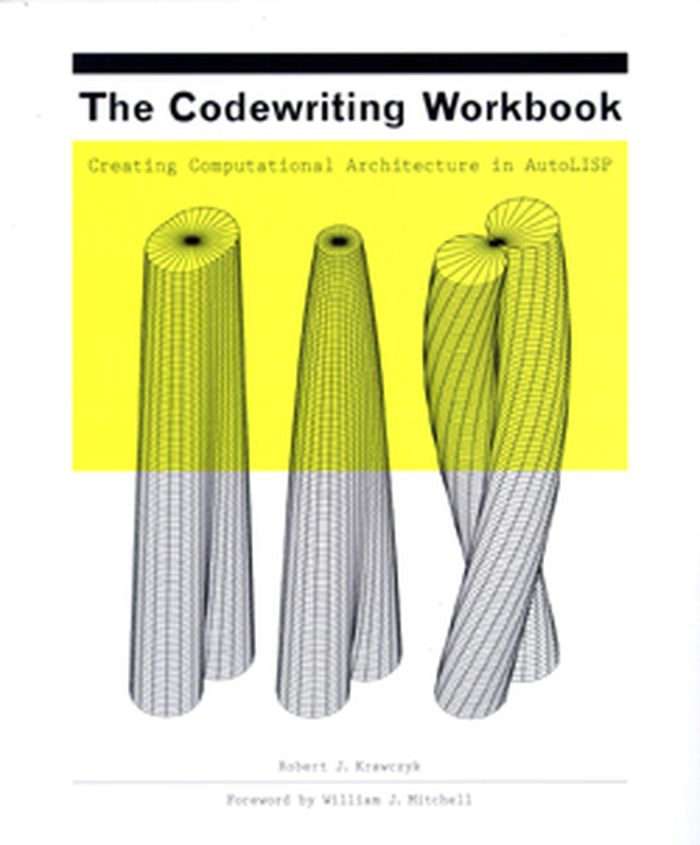
The Codewriting Workbook introduces students and practi-tioners to basic programming concepts for computer-aided design (CAD). Through a series of guided exercises and examples, readers learn how to develop and write procedures for creating two-dimensional drawings and three-dimensional models using a variety of algorithmic functions. Each exercise begins with a simple(...)
The codewriting workbook: creating computational architecture in AutoLISP
Actions:
Prix:
$65.00
(disponible sur commande)
Résumé:
The Codewriting Workbook introduces students and practi-tioners to basic programming concepts for computer-aided design (CAD). Through a series of guided exercises and examples, readers learn how to develop and write procedures for creating two-dimensional drawings and three-dimensional models using a variety of algorithmic functions. Each exercise begins with a simple concept and evolves into a family of possible solutions. A primer on programming, The Codewriting Workbook presents efficient methods for computing singular results that, when compounded, generate the broadest range of design possibilities. Though exercises are presented in AutoLISP, the workbook outlines general processes for structuring procedures that can be adapted to almost any CAD-based scripting language. Robert J. Krawczyk is on the faculty of the College of Architecture at the Illinois Institute of Technology.
Dessin d’architecture
$33.00
(disponible en magasin)
Résumé:
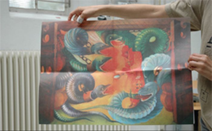
Including 4-col. Russian folktale in inside cover. Drafting Defeat is a collection of highly stylized 10th century maps of the Middle East with the legends that accompanied them in a 1933 Soviet edition of Nasser Khosrows Safarnameh (Book of Travels).
Drafting defeat: 10th century road maps & 21st century disasters
Actions:
Prix:
$33.00
(disponible en magasin)
Résumé:
Including 4-col. Russian folktale in inside cover. Drafting Defeat is a collection of highly stylized 10th century maps of the Middle East with the legends that accompanied them in a 1933 Soviet edition of Nasser Khosrows Safarnameh (Book of Travels).
Dessin d’architecture
$72.00
(disponible sur commande)
Résumé:
The spread of Renaissance culture in England coincided with the birth of the profession of architecture, whose practitioners soon became superior to simple builders in social standing and perceived intellectual prowess. This book, which focuses in particular on the scientist, mathematician, and architect Sir Christopher Wren, explores the extent to which this new(...)
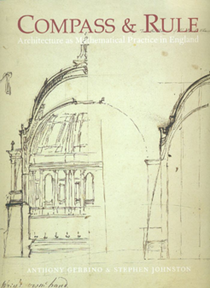
Compass & rule : architecture as mathematical practice in England
Actions:
Prix:
$72.00
(disponible sur commande)
Résumé:
The spread of Renaissance culture in England coincided with the birth of the profession of architecture, whose practitioners soon became superior to simple builders in social standing and perceived intellectual prowess. This book, which focuses in particular on the scientist, mathematician, and architect Sir Christopher Wren, explores the extent to which this new professional identity was based on expertise in the mathematical arts and sciences. Featuring drawings, instruments, paintings, and other examples of the material culture of English architecture, the book discusses the role of mathematics in architectural design and building technology. It begins with architectural drawing in the 16th century, moves to large-scale technical drawing under Henry VIII, considers Inigo Jones and his royal buildings and Christopher Wren and the dome of St. Paul’s, and concludes with the architectural education of George III. Interweaving text and visual image, the book investigates the boundaries between art and science in architecture—the most artistic of the sciences and the most scientific of the arts.
Dessin d’architecture
$68.95
(disponible sur commande)
Résumé:
Finding one’s way with a map is a relatively recent phenomenon. In premodern times, maps were used, if at all, mainly for planning journeys in advance, not for guiding travelers on the road. With the exception of navigational sea charts, the use of maps by travelers only became common in the modern era; indeed, in the last two hundred years, maps have become the most(...)
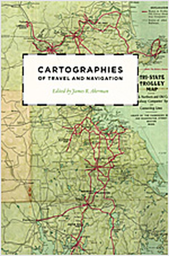
Cartographies of travel and navigation
Actions:
Prix:
$68.95
(disponible sur commande)
Résumé:
Finding one’s way with a map is a relatively recent phenomenon. In premodern times, maps were used, if at all, mainly for planning journeys in advance, not for guiding travelers on the road. With the exception of navigational sea charts, the use of maps by travelers only became common in the modern era; indeed, in the last two hundred years, maps have become the most ubiquitous and familiar genre of modern cartography. Examining the historical relationship between travelers, navigation, and maps, "Cartographies of travel and navigation" considers the cartographic response to the new modalities of modern travel brought about by technological and institutional developments in the twentieth century. Highlighting the ways in which the travelers, operators, and planners of modern transportation systems value maps as both navigation tools and as representatives of a radical new mobility, this collection brings the cartography of travel—by road, sea, rail, and air—to the forefront, placing maps at the center of the history of travel and movement.
Dessin d’architecture
Piranesi : the etchings
$17.95
(disponible sur commande)
Résumé:
One the greatest architectural artists of all time, and certainly the most famous copper engraver of the 18th century, Giovanni Battista Piranesi (1720-1778) is most known for his series of etchings of labyrinthine and megalomaniac prisons, Carceri d'Invenzione. In his own day, he was most celebrated for his Vedute, 137 etchings of ancient and modern Rome; so renowned(...)
Piranesi : the etchings
Actions:
Prix:
$17.95
(disponible sur commande)
Résumé:
One the greatest architectural artists of all time, and certainly the most famous copper engraver of the 18th century, Giovanni Battista Piranesi (1720-1778) is most known for his series of etchings of labyrinthine and megalomaniac prisons, Carceri d'Invenzione. In his own day, he was most celebrated for his Vedute, 137 etchings of ancient and modern Rome; so renowned were these startling and dramatic chiaroscuro images, imbued with Piranesi's romantic feeling for archaeological ruins, that they formed the mental picture of Rome for generations after. Indeed, Piranesi could be said to have shaped a whole strain of contemporary architecture, as well as the wider visualization of antiquity itself. In our time, he has had a direct influence on writers such as Borges and Kafka and on filmmakers such as Terry Gilliam and Peter Greenaway. Anyone who contemplates Piranesi's etchings will confront the existential nightmare of human existence and its infinite mysteries.
Dessin d’architecture
