108 Résultats
Classification:
livres
livres
Prix:
$42.95
(disponible sur commande)
Résumé:
The maps in this book are drawn with satellites, assembled with pixels radioed from outer space, and constructed from statistics; they record situations of intense conflict and express fundamental transformations in our ways of seeing and of experiencing space. These maps are built with GPS, remote sensing satellites,or GIS: digital spatial hardware and software designed(...)
Titre:
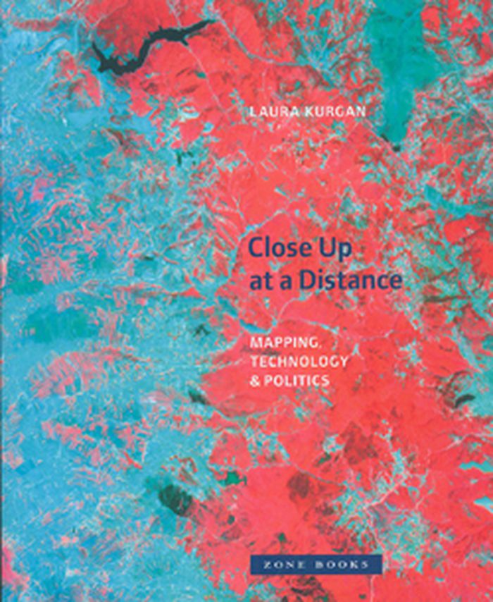
Close up at a distance: mapping, technology and politics
Actions:
Prix:
$42.95
(disponible sur commande)
Résumé:
The maps in this book are drawn with satellites, assembled with pixels radioed from outer space, and constructed from statistics; they record situations of intense conflict and express fundamental transformations in our ways of seeing and of experiencing space. These maps are built with GPS, remote sensing satellites,or GIS: digital spatial hardware and software designed for such military and governmental uses as reconnaissance, secrecy, monitoring, ballistics, the census, and national security. Rather than shying away from the politics and complexities of their intended uses, Laura Kurgan attempts to illuminate them. Poised at the intersection of art, architecture, activism, and geography, her analysis uncovers the implicit biases of the new views, the means of recording information they present, and the new spaces they have opened up.
Classification:
livres
livres
Publication:
mars 2013
mars 2013
Classification:
livres
livres

Actions:
Prix:
$64.95
(disponible sur commande)
Résumé:
In this book, Karen O'Rourke explores a series of walking/mapping projects by contemporary artists. Some chart "emotional GPS"; some use GPS for creating "datascapes" while others use their legs to do "speculative mapping." Many work with scientists, designers, and engineers. O'Rourke offers close readings of these works -- many of which she was able to experience(...)
Publication:
mars 2013
mars 2013
Titre:
Walking and mapping: artists as cartographers
Actions:
Prix:
$64.95
(disponible sur commande)
Résumé:
In this book, Karen O'Rourke explores a series of walking/mapping projects by contemporary artists. Some chart "emotional GPS"; some use GPS for creating "datascapes" while others use their legs to do "speculative mapping." Many work with scientists, designers, and engineers. O'Rourke offers close readings of these works -- many of which she was able to experience firsthand -- and situates them in relation to landmark works from the past half-century. She shows that the infinitesimal details of each of these projects take on more significance in conjunction with others. Together, they form a new entity, a dynamic whole greater than the sum of its parts. By alternating close study of selected projects with a broader view of their place in a bigger picture, Walking and Mapping itself maps a complex phenomena.
Classification:
livres
livres
Publication:
mars 2013
mars 2013
Classification:
livres
livres

Titre:
Mapping Manhattan
Mapping Manhattan
Actions:
Prix:
$21.95
(disponible sur commande)
Résumé:
Armed with hundreds of blank maps she had printed by hand, Becky Cooper walked Manhattan from end to end. She asked the strangers to “map their Manhattan” and to mail the personalized maps back to her. Soon, her P.O. box was filled with a cartography of intimate narratives: past loves, lost homes, childhood memories, comical moments, and surprising confessions.
Titre:
Mapping Manhattan
Actions:
Prix:
$21.95
(disponible sur commande)
Résumé:
Armed with hundreds of blank maps she had printed by hand, Becky Cooper walked Manhattan from end to end. She asked the strangers to “map their Manhattan” and to mail the personalized maps back to her. Soon, her P.O. box was filled with a cartography of intimate narratives: past loves, lost homes, childhood memories, comical moments, and surprising confessions.
Classification:
livres
livres
Publication:
avril 2013
avril 2013
Classification:
livres
livres
Prix:
$65.00
(disponible sur commande)
Résumé:
A Map of the World is a collection of work by a new generation of designers, illustrators, and mapmakers. This work showcases specific regions, characterizes local scenes, generates moods, and tells stories beyond sheer navigation. From accurate and surprisingly detailed representations to personal, naïve, and modernistic interpretations, the featured projects from around(...)
Publication:
février 2013
février 2013
Titre:
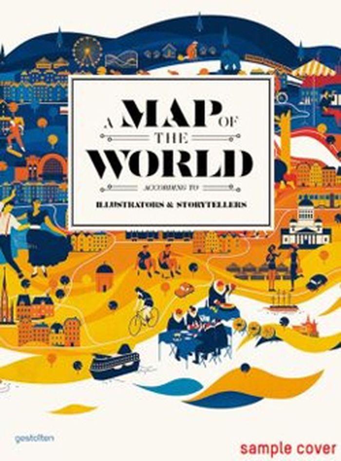
A map of the world, according to illustrators & storytellers
Actions:
Prix:
$65.00
(disponible sur commande)
Résumé:
A Map of the World is a collection of work by a new generation of designers, illustrators, and mapmakers. This work showcases specific regions, characterizes local scenes, generates moods, and tells stories beyond sheer navigation. From accurate and surprisingly detailed representations to personal, naïve, and modernistic interpretations, the featured projects from around the world range from maps and atlases inspired by classic forms to cartographic experiments and editorial illustrations.
Classification:
livres
livres
Publication:
février 2013
février 2013
Classification:
livres
livres
Actions:
Prix:
$39.95
(disponible sur commande)
Résumé:
"Mappamundi" rassemble une trentaine d'artistes qui interrogent la représentation cartographique. Ces visions d'artistes sont regroupées en trois temps : le corps - les cartes renouent avec les sensations et l'expérience physiques du monde ; le combat - des instruments de pouvoir deviennent outils de contestation ; le conte - les cartes utilitaires sont détrônées par(...)
Titre:
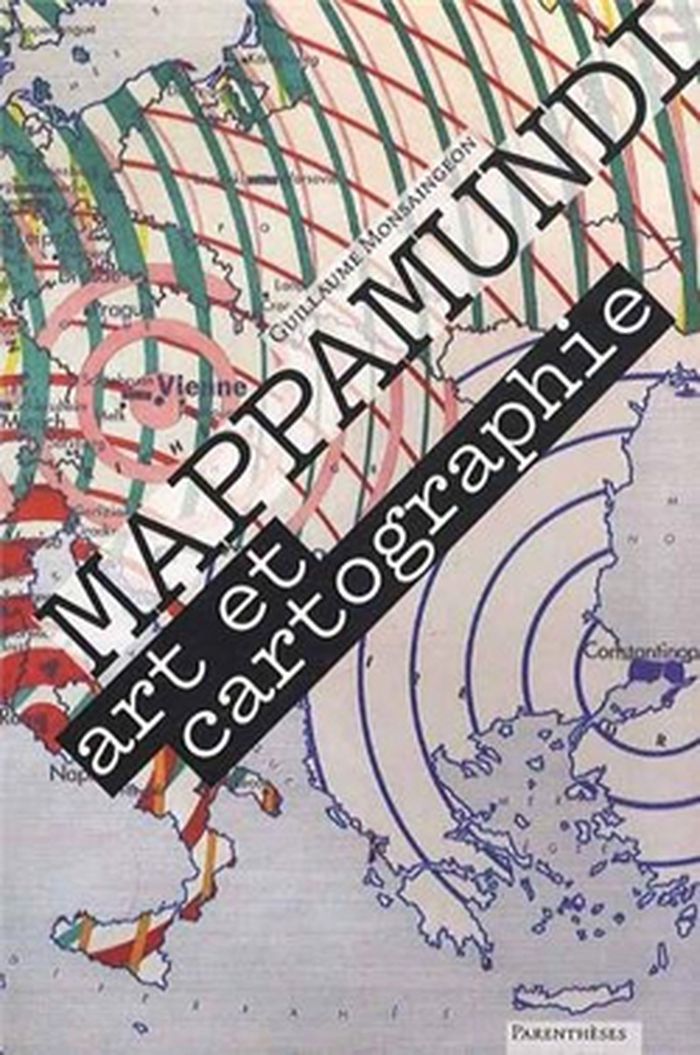
Mappamundi : art et cartographie
Actions:
Prix:
$39.95
(disponible sur commande)
Résumé:
"Mappamundi" rassemble une trentaine d'artistes qui interrogent la représentation cartographique. Ces visions d'artistes sont regroupées en trois temps : le corps - les cartes renouent avec les sensations et l'expérience physiques du monde ; le combat - des instruments de pouvoir deviennent outils de contestation ; le conte - les cartes utilitaires sont détrônées par l'imaginaire et la fiction. Un essai sur les relations entre art et cartographie précède les " portraits du monde " sélectionnés dans "Mappamundi".
Classification:
livres
livres
Publication:
mai 2013
mai 2013
Classification:
livres
livres

Actions:
Prix:
$18.00
(disponible sur commande)
Résumé:
Following the history of maps from the early explorers’ maps and the medieval Mappa Mundi to Google Maps and the satellite renderings on our smartphones, Garfield explores the unique way that maps relate and realign our history — and reflect the best and worst of what makes us human.
Titre:
On the map : a mind-expanding exploration of the way the world looks
Actions:
Prix:
$18.00
(disponible sur commande)
Résumé:
Following the history of maps from the early explorers’ maps and the medieval Mappa Mundi to Google Maps and the satellite renderings on our smartphones, Garfield explores the unique way that maps relate and realign our history — and reflect the best and worst of what makes us human.
Classification:
livres
livres
Publication:
novembre 2013
novembre 2013
Classification:
livres
livres
Prix:
$44.00
(disponible sur commande)
Résumé:
The life and legend of New York City, from the size of its skyscrapers to the ways of its inhabitants, is vividly captured in this collection of more than 250 maps, cross sections, ?owcharts, tables, board games, cartoons and infographics, and other unique diagrams spanning 150 years. Superstars such as Saul Steinberg, Maira Kalman, Christoph Niemann, Roz Chast, and(...)
Publication:
avril 2021
avril 2021
Titre:
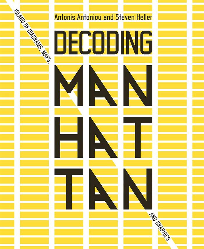
Decoding Manhattan: island of diagrams, maps, and graphics
Actions:
Prix:
$44.00
(disponible sur commande)
Résumé:
The life and legend of New York City, from the size of its skyscrapers to the ways of its inhabitants, is vividly captured in this collection of more than 250 maps, cross sections, ?owcharts, tables, board games, cartoons and infographics, and other unique diagrams spanning 150 years. Superstars such as Saul Steinberg, Maira Kalman, Christoph Niemann, Roz Chast, and Milton Glaser butt up against the unsung heroes of the popular press in a book that is made not only for lovers of New York but also for anyone who enjoys or works with information design.
Classification:
livres
livres
Publication:
avril 2021
avril 2021
Classification:
livres
livres
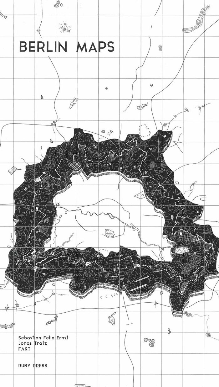
Titre:
Berlin Maps
Berlin Maps
Actions:
Prix:
$48.00
(disponible sur commande)
Résumé:
Over the past century, Berlin has undergone countless transformations. Rapid growth, destruction, survival, and finally a halting revival as a twin city reunited once more. This last phase has been characterised by stagnation and even shrinkage, which in turn strengthened Berlin’s unusual configuration as a polycentric settlement with no clear core. This atlas of the(...)
Publication:
mars 2021
mars 2021
Titre:
Berlin Maps
Actions:
Prix:
$48.00
(disponible sur commande)
Résumé:
Over the past century, Berlin has undergone countless transformations. Rapid growth, destruction, survival, and finally a halting revival as a twin city reunited once more. This last phase has been characterised by stagnation and even shrinkage, which in turn strengthened Berlin’s unusual configuration as a polycentric settlement with no clear core. This atlas of the special, strange, or undiscovered phenomena of the German capital is structured in eighteen chapters and offers a fascinating insider’s look at its architectural geography, urban history, political upheavals, scenic spaces, curiosities, and more.
Classification:
livres
livres
Publication:
mars 2021
mars 2021
Classification:
livres
livres
Actions:
Prix:
$109.00
(disponible sur commande)
Résumé:
"Third coast atlas: prelude to a plan" describes the conditions for urbanization across the Great Lakes region. It assembles a multi-layered, empirical description of urbanization processes within the drainage basins of the five Great Lakes and the Saint Lawrence River. This thick description encompasses a range of representational forms including maps, plans, diagrams,(...)
Publication:
juin 2017
juin 2017
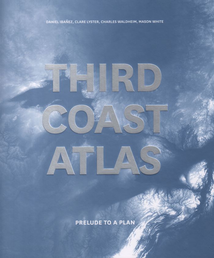
Titre:
Third coast atlas: prelude to a plan
Actions:
Prix:
$109.00
(disponible sur commande)
Résumé:
"Third coast atlas: prelude to a plan" describes the conditions for urbanization across the Great Lakes region. It assembles a multi-layered, empirical description of urbanization processes within the drainage basins of the five Great Lakes and the Saint Lawrence River. This thick description encompasses a range of representational forms including maps, plans, diagrams, timelines, and photographs, as well as speculative design research projects and critical texts. Postponing diagnosis, let alone treatment of these conditions, Third Coast Atlas aspires to simply describe. It proposes a new geographic gestalt for urban analysis. Superimposed upon the North American continent, and with easily recognizable yet divergent political and geological borders, this megaregion traverses portions of eight U.S. states and two Canadian provinces, as well as the world’s largest collection of surficial fresh water. Third Coast Atlas characterizes the littoral edge as a distinct field of urbanization, and constructs a reading of the region both specific and speculative.
Classification:
livres
livres
Publication:
juin 2017
juin 2017
Classification:
livres
livres
Actions:
Prix:
$63.95
(disponible sur commande)
Résumé:
Instructive, amusing, colorful—pictorial maps have been used and admired since the first medieval cartographer put pen to paper depicting mountains and trees across countries, people and objects around margins, and sea monsters in oceans. More recent generations of pictorial map artists have continued that traditional mixture of whimsy and fact, combining cartographic(...)
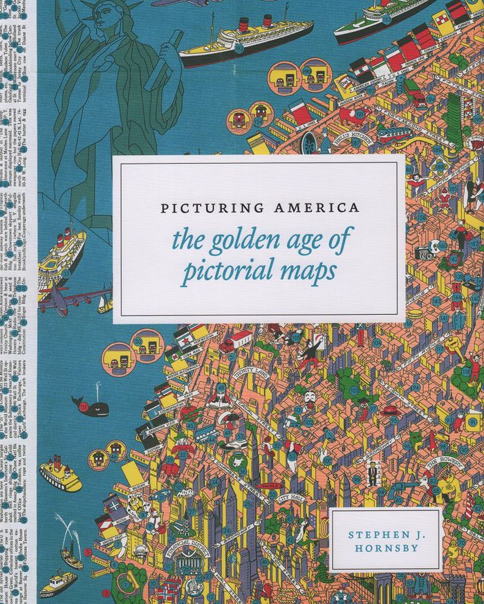
Titre:
Picturing America: the golden age of pictorial maps
Actions:
Prix:
$63.95
(disponible sur commande)
Résumé:
Instructive, amusing, colorful—pictorial maps have been used and admired since the first medieval cartographer put pen to paper depicting mountains and trees across countries, people and objects around margins, and sea monsters in oceans. More recent generations of pictorial map artists have continued that traditional mixture of whimsy and fact, combining cartographic elements with text and images and featuring bold and arresting designs, bright and cheerful colors, and lively detail. In the United States, the art form flourished from the 1920s through the 1970s, when thousands of innovative maps were mass-produced for use as advertisements and decorative objects—the golden age of American pictorial maps. "Picturing America" is the first book to showcase this vivid and popular genre of maps. Geographer Stephen J. Hornsby gathers together 158 delightful pictorial jewels, most drawn from the extensive collections of the Library of Congress. In his informative introduction, Hornsby outlines the development of the cartographic form, identifies several representative artists, describes the process of creating a pictorial map, and considers the significance of the form in the history of Western cartography. Organized into six thematic sections, "Picturing America" covers a vast swath of the pictorial map tradition during its golden age, ranging from “Maps to Amuse” to “Maps for War.” Hornsby has unearthed the most fascinating and visually striking maps the United States has to offer: Disney cartoon maps, college campus maps, kooky state tourism ads, World War II promotional posters, and many more.
Classification:
livres
livres
Publication:
mars 2017
mars 2017