108 Résultats
Classification:
livres
livres
Actions:
Prix:
$72.00
(disponible sur commande)
Résumé:
Mapping London: Making Sense of the City is a beautiful, compelling anthology of over six centuries of London maps, tracing the mesmerizing evolution of the city and exploring the hopes and fears of its inhabitants as history unfolds. The book is a cartographic journey, charting the influence of Roman city planning, Saxon feudalism, Medieval tumult, imperial hubris,(...)
Titre:
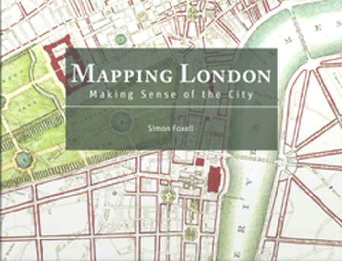
Mapping London: making sense of the city
Actions:
Prix:
$72.00
(disponible sur commande)
Résumé:
Mapping London: Making Sense of the City is a beautiful, compelling anthology of over six centuries of London maps, tracing the mesmerizing evolution of the city and exploring the hopes and fears of its inhabitants as history unfolds. The book is a cartographic journey, charting the influence of Roman city planning, Saxon feudalism, Medieval tumult, imperial hubris, contemporary town planning and more on this great metropolis. In this comprehensive survey the maps are allowed to speak for themselves, revealing not only their political and social context, but also the dreams of their makers and the drama of their creation. Often these maps are objects of great skill and beauty and the names of the greatest of their makers are still revered today. A lavishly illustrated hardback book, Mapping London explores the city through the ages in all its labyrinthine glory.
Classification:
livres
livres
Publication:
janvier 2008, London
janvier 2008, London
Classification:
livres
livres
Titre:
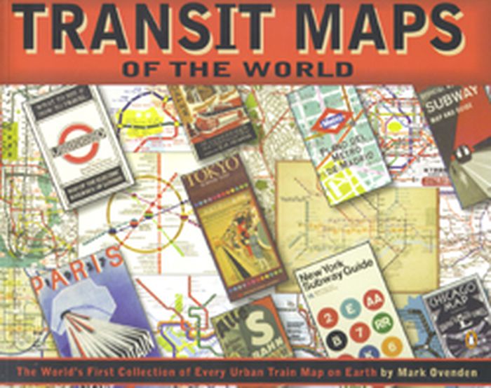
Transit maps of the world
Transit maps of the world
Actions:
Prix:
$27.50
(disponible sur commande)
Résumé:
Transit Maps of the World is the first, and only, comprehensive collection of every rapid-transit system map on earth. Using glorious graphics, Mark Ovenden traces the history of mass transit - including rare and historic maps, diagrams, and photographs, some available for the first time since their original publication. Transit Maps is a coffee-table essential for anyone(...)
Publication:
octobre 2007, New York, Toronto, London
octobre 2007, New York, Toronto, London
Titre:
Transit maps of the world
Actions:
Prix:
$27.50
(disponible sur commande)
Résumé:
Transit Maps of the World is the first, and only, comprehensive collection of every rapid-transit system map on earth. Using glorious graphics, Mark Ovenden traces the history of mass transit - including rare and historic maps, diagrams, and photographs, some available for the first time since their original publication. Transit Maps is a coffee-table essential for anyone who's ever traveled in a city, as well as a graphic designer's bible, a transport enthusiast's dream, and the ideal gift for the most challenging relative! Pick up Transit Maps of the World for a truly unusual journey.
Classification:
livres
livres
Publication:
octobre 2007, New York, Toronto, London
octobre 2007, New York, Toronto, London
Classification:
livres
livres
Actions:
Prix:
$49.95
(disponible en magasin)
Résumé:
Cette étude de l’œuvre du géographe et intellectuel anarchiste est centrée sur sa démarche cartographique, sa volonté d'élaborer une carte de l'ensemble de la Terre, de concevoir ce qu'il appelait un "Grand Globe", suffisamment grand pour que l'on puisse distinguer les traits d'ensemble et de détail des reliefs. Si le projet ne vit pas le jour, il a contribué à renouveler(...)
Titre:
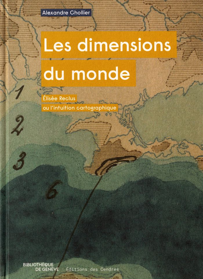
Les dimensions du monde : Élisée Reclus ou l’intuition cartographique
Actions:
Prix:
$49.95
(disponible en magasin)
Résumé:
Cette étude de l’œuvre du géographe et intellectuel anarchiste est centrée sur sa démarche cartographique, sa volonté d'élaborer une carte de l'ensemble de la Terre, de concevoir ce qu'il appelait un "Grand Globe", suffisamment grand pour que l'on puisse distinguer les traits d'ensemble et de détail des reliefs. Si le projet ne vit pas le jour, il a contribué à renouveler le regard sur le monde.
Classification:
livres
livres
Publication:
janvier 2018
janvier 2018
Classification:
livres
livres
Titre:
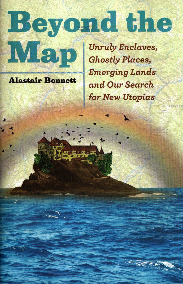
Beyond the map: unruly enclaves, ghostly places, emerging lands and our search for new utopias
Beyond the map: unruly enclaves, ghostly places, emerging lands and our search for new utopias
Actions:
Prix:
$34.50
(disponible sur commande)
Résumé:
In "Beyond the Map", Bonnett presents stories of the world’s most extraordinary spaces—many unmarked on any official map—all of which challenge our assumptions about what we know—or think we know—about our world. As cultural, religious and political boundaries ebb and flow with each passing day, traditional maps unravel and fragment. With the same adventurous spirit he(...)
Titre:
Beyond the map: unruly enclaves, ghostly places, emerging lands and our search for new utopias
Actions:
Prix:
$34.50
(disponible sur commande)
Résumé:
In "Beyond the Map", Bonnett presents stories of the world’s most extraordinary spaces—many unmarked on any official map—all of which challenge our assumptions about what we know—or think we know—about our world. As cultural, religious and political boundaries ebb and flow with each passing day, traditional maps unravel and fragment. With the same adventurous spirit he effused in the acclaimed Unruly Places, Bonnett takes us to thirty-nine incredible spots around the globe to explore these changing boundaries and stimulate our geographical imagination. Some are tied to disruptive contemporary political turbulence, such as the rise of ISIL, Russia’s incursions into Ukraine and the Brexit vote in the United Kingdom. Others explore the secret places not shown on Google Earth or reflect fast-changing landscapes.
Classification:
livres
livres
Publication:
avril 2018
avril 2018
Classification:
livres
livres
Actions:
Prix:
$30.00
(disponible sur commande)
Résumé:
First published in 1991, "How to Lie with Maps" revealed how the choices mapmakers make—consciously or unconsciously—mean that every map inevitably presents only one of many possible stories about the places it depicts. Fully updated for the digital age, this new edition examines the myriad ways that technology offers new opportunities for cartographic mischief,(...)
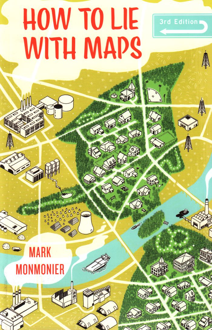
Titre:
How to lie with maps, 3rd edition
Actions:
Prix:
$30.00
(disponible sur commande)
Résumé:
First published in 1991, "How to Lie with Maps" revealed how the choices mapmakers make—consciously or unconsciously—mean that every map inevitably presents only one of many possible stories about the places it depicts. Fully updated for the digital age, this new edition examines the myriad ways that technology offers new opportunities for cartographic mischief, deception, and propaganda. While retaining the same brevity, range, and humor as its predecessors, this third edition includes significant updates throughout as well as new chapters on image maps, prohibitive cartography, and online maps. It also includes an expanded section of color images and an updated list of sources for further reading.
Classification:
livres
livres
Publication:
avril 2018
avril 2018
Classification:
livres
livres
Prix:
$20.95
(disponible sur commande)
Résumé:
Sean C. Jackson has been illustrating and exploring mazes for his own enjoyment for more than 30 years. Inspired by art, architecture, and the natural world, his colorfully detailed mazes offer imaginative and meditative journeys through village streets, garden vistas, island habitats, castle grounds, scenic towns, and gravity-defying surreal situations—each encouraging(...)
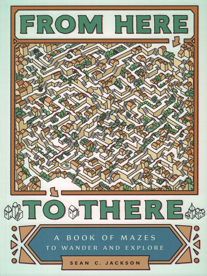
Titre:
From here to there : a book of mazes to wander and explore
Actions:
Prix:
$20.95
(disponible sur commande)
Résumé:
Sean C. Jackson has been illustrating and exploring mazes for his own enjoyment for more than 30 years. Inspired by art, architecture, and the natural world, his colorfully detailed mazes offer imaginative and meditative journeys through village streets, garden vistas, island habitats, castle grounds, scenic towns, and gravity-defying surreal situations—each encouraging the mind to wander while following the paths. This large-format collection features nearly 50 absorbing single-page and full-spread mazes, sequenced with increasing complexity, and includes inventive bonuses such as mazes with two paths to follow and a maze that runs on the inside covers from front to back. Solutions are provided, but for those seeking mindful activity or hours of puzzle decoding entertainment, getting there will be half the fun.
Classification:
livres
livres
Publication:
février 2017
février 2017
Classification:
livres
livres
Actions:
Prix:
$47.95
(disponible sur commande)
Résumé:
Ce livre raconte l’exploration d’une terre inconnue, la nôtre. À la suite des voyageurs de la Renaissance partis cartographier les terra incognita du Nouveau Monde, « Terra Forma » propose, cinq siècles plus tard, de découvrir une autre Terre, ou plutôt de redécouvrir autrement celle que nous croyons si bien connaître en partant du constat que si les transformations(...)
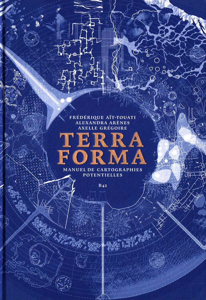
Titre:
Terra forma : manuel de cartographies potentielles
Actions:
Prix:
$47.95
(disponible sur commande)
Résumé:
Ce livre raconte l’exploration d’une terre inconnue, la nôtre. À la suite des voyageurs de la Renaissance partis cartographier les terra incognita du Nouveau Monde, « Terra Forma » propose, cinq siècles plus tard, de découvrir une autre Terre, ou plutôt de redécouvrir autrement celle que nous croyons si bien connaître en partant du constat que si les transformations récentes des conditions d’habitabilité du monde sont si difficiles à percevoir, c’est parce que les représentations disponibles sont trop abstraites, lointaines, et dans une certaine mesure trop stables. En proposant une extension du vocabulaire cartographique, ce livre est un manifeste pour l’imagination géographique, et, ce faisant, politique. Si certains des phénomènes auxquels nous assistons (érosion des sols, épuisement des ressources, accélération des espaces-temps urbains, intensification des zones polluées) nous échappent par leur échelle, leur durée, leur ampleur, c’est par le développement de nos techniques de représentation que l’on peut espérer mieux les comprendre. En mettant en « cartes » certaines propositions des sciences du Système-Terre et de la pensée écologique contemporaine, « Terra Forma » permet de mieux saisir leur portée politique.
Classification:
livres
livres
Publication:
mai 2019
mai 2019
Classification:
livres
livres
Prix:
$44.95
(disponible sur commande)
Résumé:
Many people have a love of maps. But what lies behind the process of map-making? How have cartographers through the centuries developed their craft and established a language of maps which helps them to better represent our world and help users to understand it? This book tells the story of how widely accepted mapping conventions originated and evolved—from map(...)
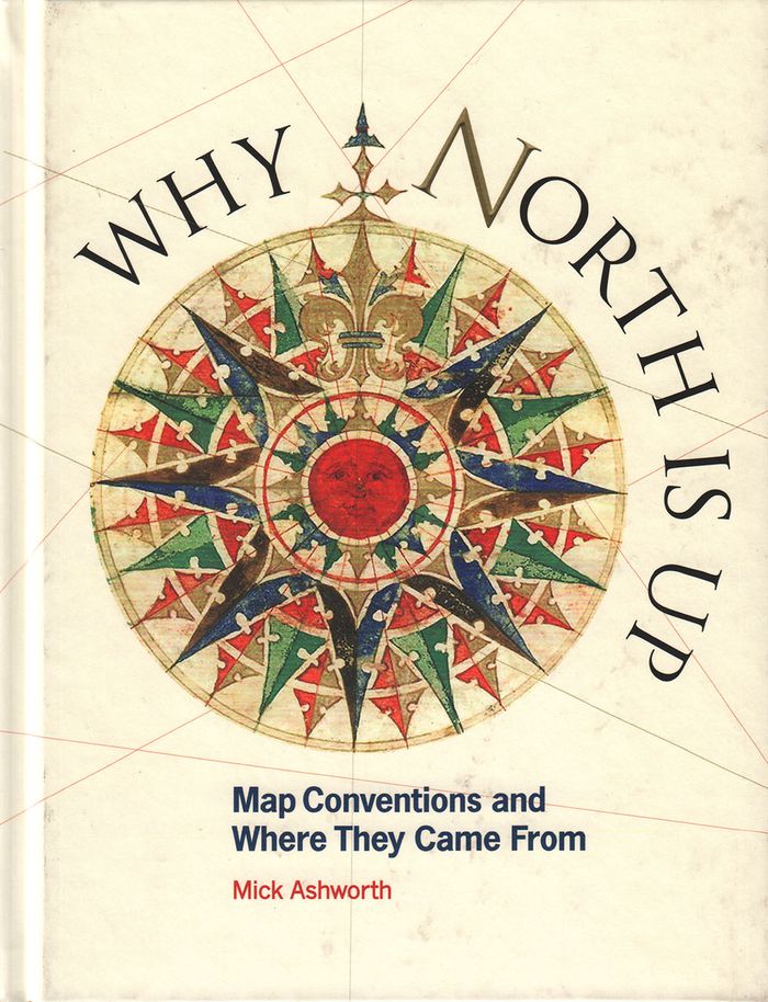
Titre:
Why North is up: map conventions and where they came from
Actions:
Prix:
$44.95
(disponible sur commande)
Résumé:
Many people have a love of maps. But what lies behind the process of map-making? How have cartographers through the centuries developed their craft and established a language of maps which helps them to better represent our world and help users to understand it? This book tells the story of how widely accepted mapping conventions originated and evolved—from map orientation, projections, typography, and scale, to the use of color, symbols, ways of representing relief, and the treatment of boundaries and place names. It charts the fascinating story of how conventions have changed in response to new technologies and ever-changing mapping requirements, how symbols can be a matter of life or death, why universal acceptance of conventions can be difficult to achieve, and how new mapping conventions are developing to meet the needs of modern cartography. "Why North is Up" offers a guide to the sometimes hidden techniques of map-making through the centuries.
Classification:
livres
livres
Publication:
décembre 2019
décembre 2019
Classification:
livres
livres
Titre:
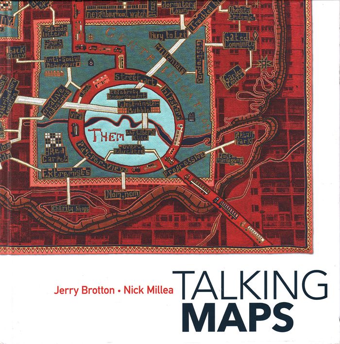
Talking maps
Talking maps
Actions:
Prix:
$74.95
(disponible sur commande)
Résumé:
Every map tells a story. Some provide a narrative for travelers, explorers, and surveyors or offer a visual account of changes to people’s lives and surroundings, while others tell imaginary tales, transporting us to fictional worlds created by writers and artists. In turn, maps generate more stories, taking users on new journeys in search of knowledge and adventure. By(...)
Publication:
novembre 2019
novembre 2019
Titre:
Talking maps
Actions:
Prix:
$74.95
(disponible sur commande)
Résumé:
Every map tells a story. Some provide a narrative for travelers, explorers, and surveyors or offer a visual account of changes to people’s lives and surroundings, while others tell imaginary tales, transporting us to fictional worlds created by writers and artists. In turn, maps generate more stories, taking users on new journeys in search of knowledge and adventure. By telling the stories behind the artifacts and those generated by them, "Talking Maps " reveals how each map is not just a tool for navigation but also a worldly proposal that helps us to understand who we are by describing where we are.
Classification:
livres
livres
Publication:
novembre 2019
novembre 2019
Classification:
livres
livres
Prix:
$70.00
(disponible sur commande)
Résumé:
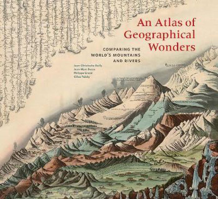
This is the first book to catalog comparative maps and tableaux that visualize the heights and lengths of the world's mountains and rivers. Produced predominantly in the nineteenth century, these maps emerged out of the tide of exploration and scientific developments in measuring techniques. Beginning with the work of explorer Alexander von Humboldt, these historic(...)
$70.00
(disponible sur commande)
Résumé:
This is the first book to catalog comparative maps and tableaux that visualize the heights and lengths of the world's mountains and rivers. Produced predominantly in the nineteenth century, these maps emerged out of the tide of exploration and scientific developments in measuring techniques. Beginning with the work of explorer Alexander von Humboldt, these historic(...)
Publication:
septembre 2019
septembre 2019
Titre:
An atlas of geographical wonders: from mountaintops to riverbeds
Actions:
Prix:
$70.00
(disponible sur commande)
Résumé:
This is the first book to catalog comparative maps and tableaux that visualize the heights and lengths of the world's mountains and rivers. Produced predominantly in the nineteenth century, these maps emerged out of the tide of exploration and scientific developments in measuring techniques. Beginning with the work of explorer Alexander von Humboldt, these historic drawings reveal a world of artistic and imaginative difference. Many of them give way—and with visible joy—to the power of fantasy in a mesmerizing array of realistic and imaginary forms. Most of the maps are from the David Rumsey Historical Map Collection at Stanford University.
Classification:
livres
livres
Publication:
septembre 2019
septembre 2019