2699 Résultats
Classification:
livres
livres
Actions:
Exemplaires:
Description:
245 pages : illustrations (some color), maps (some color) ; 22 cm
Description:
245 pages : illustrations (some color), maps (some color) ; 22 cm
Auteur:
Sujet:
Publication:
San Antonio, Texas : Trinity University Press, [2004], ©2004
San Antonio, Texas : Trinity University Press, [2004], ©2004
Titre:
Maps of the imagination : the writer as cartographer / Peter Turchi.
Actions:
Exemplaires:
Description:
245 pages : illustrations (some color), maps (some color) ; 22 cm
Maps of the imagination : the writer as cartographer / Peter Turchi.
Actions:
Exemplaires:
Description:
245 pages : illustrations (some color), maps (some color) ; 22 cm
Classification:
livres
livres
Publication:
San Antonio, Texas : Trinity University Press, [2004], ©2004
San Antonio, Texas : Trinity University Press, [2004], ©2004
Auteur:
Sujet:
Classification:
livres
livres
Actions:
Exemplaires:
Description:
348 pages : illustrations (some color) ; 29 cm
Description:
348 pages : illustrations (some color) ; 29 cm
Auteur:
Sujet:
Publication:
New York : American Heritage Pub. Co. : Book trade distribution by Charles Scribner's Sons, [©1981]
New York : American Heritage Pub. Co. : Book trade distribution by Charles Scribner's Sons, [©1981]
Titre:
Three Centuries of Notable American Architects / edited by Joseph J. Thorndike, Jr. ; Introduction by Vincent Scully.
Actions:
Exemplaires:
Description:
348 pages : illustrations (some color) ; 29 cm
Three Centuries of Notable American Architects / edited by Joseph J. Thorndike, Jr. ; Introduction by Vincent Scully.
Actions:
Exemplaires:
Description:
348 pages : illustrations (some color) ; 29 cm
Classification:
livres
livres
Publication:
New York : American Heritage Pub. Co. : Book trade distribution by Charles Scribner's Sons, [©1981]
New York : American Heritage Pub. Co. : Book trade distribution by Charles Scribner's Sons, [©1981]
Auteur:
Sujet:
Classification:
livres
livres
Actions:
Exemplaires:
Description:
328 pages, 18 leaves of plates : illustrations (some color) ; 31 cm.
Description:
328 pages, 18 leaves of plates : illustrations (some color) ; 31 cm.
Auteur:
Sujet:
Publication:
München : Schneider-Henn, ©1982.
München : Schneider-Henn, ©1982.
Titre:
Die Postkarten der Wiener Werkstätte : Verzeichnis der Künstler und Katalog ihrer Arbeiten / Traude Hansen ; mit 18 Farbtafeln und 822 schwarzweissen Abbildungen sowie Wiedergabe der Monogramme.
Actions:
Exemplaires:
Description:
328 pages, 18 leaves of plates : illustrations (some color) ; 31 cm.
Die Postkarten der Wiener Werkstätte : Verzeichnis der Künstler und Katalog ihrer Arbeiten / Traude Hansen ; mit 18 Farbtafeln und 822 schwarzweissen Abbildungen sowie Wiedergabe der Monogramme.
Actions:
Exemplaires:
Description:
328 pages, 18 leaves of plates : illustrations (some color) ; 31 cm.
Classification:
livres
livres
Publication:
München : Schneider-Henn, ©1982.
München : Schneider-Henn, ©1982.
Auteur:
Sujet:
Classification:
cartes
cartes
Actions:
Exemplaires:
Description:
1 atlas (128 pages) : illustrations (some color), color maps ; 25 cm
Description:
1 atlas (128 pages) : illustrations (some color), color maps ; 25 cm
Auteur:
Sujet:
Publication:
Berkeley : University of California Press, ©2010.
Berkeley : University of California Press, ©2010.
Titre:
People on the move : an atlas of migration / Russell King [and others].
Actions:
Exemplaires:
Description:
1 atlas (128 pages) : illustrations (some color), color maps ; 25 cm
People on the move : an atlas of migration / Russell King [and others].
Actions:
Exemplaires:
Description:
1 atlas (128 pages) : illustrations (some color), color maps ; 25 cm
Classification:
cartes
cartes
Publication:
Berkeley : University of California Press, ©2010.
Berkeley : University of California Press, ©2010.
Auteur:
Sujet:
Classification:
livres
livres
Titre:
Brian MacKay-Lyons
Brian MacKay-Lyons
Actions:
Prix:
$10.00
(disponible sur commande)
Résumé:
Inspired by the vernacular architecture of Nova Scotia, the architecture of Brian MacKay-Lyons is among the most innovative in Canada. This first publication dedicated solely to his work includes 16 projects, a project index, essays, and a bibliography.
$10.00
(disponible sur commande)
Résumé:
Inspired by the vernacular architecture of Nova Scotia, the architecture of Brian MacKay-Lyons is among the most innovative in Canada. This first publication dedicated solely to his work includes 16 projects, a project index, essays, and a bibliography.
Titre:
Brian MacKay-Lyons
Actions:
Prix:
$10.00
(disponible sur commande)
Résumé:
Inspired by the vernacular architecture of Nova Scotia, the architecture of Brian MacKay-Lyons is among the most innovative in Canada. This first publication dedicated solely to his work includes 16 projects, a project index, essays, and a bibliography.
Classification:
livres
livres
Publication:
novembre 2000, Halifax
novembre 2000, Halifax
Sujet:
Architecture du Canada
Architecture du Canada
Classification:
livres
livres
Titre:
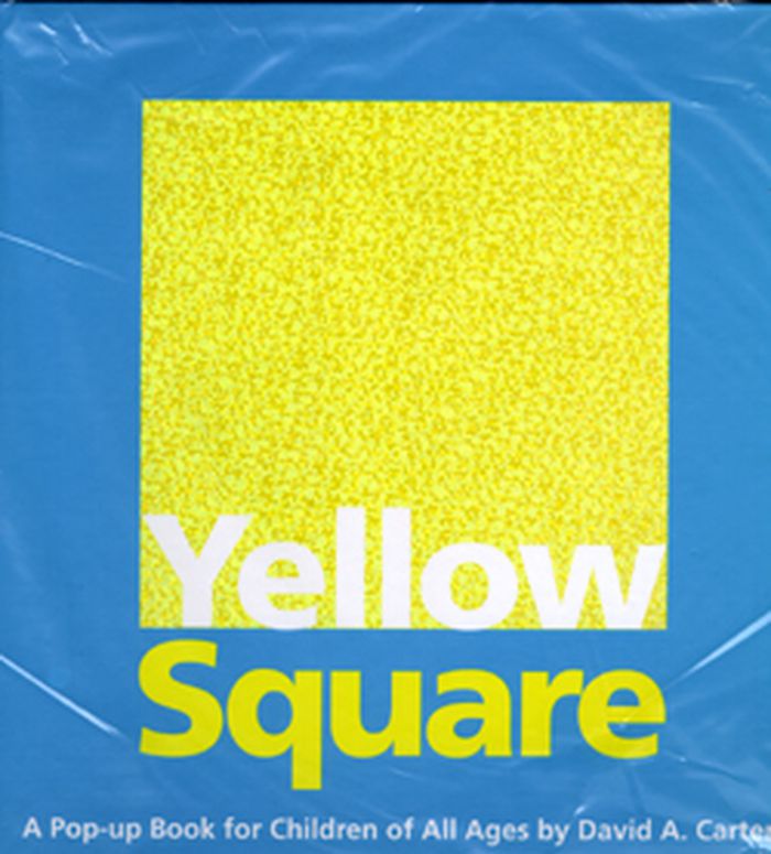
Yellow Square
Yellow Square
Actions:
Prix:
$23.99
(disponible sur commande)
Résumé:
First came One Red Dot, next Blue 2, 600 Black Spots...now Yellow Square, the fourth installment of David A. Carter's acclaimed color series! Modern and elegant paper engineering and text are certain to awe children of all ages! Readers will search beatiful, modern pop-ups to discover the hidden yellow square on each spread in this follow up to David A. Carter's New(...)
Titre:
Yellow Square
Actions:
Prix:
$23.99
(disponible sur commande)
Résumé:
First came One Red Dot, next Blue 2, 600 Black Spots...now Yellow Square, the fourth installment of David A. Carter's acclaimed color series! Modern and elegant paper engineering and text are certain to awe children of all ages! Readers will search beatiful, modern pop-ups to discover the hidden yellow square on each spread in this follow up to David A. Carter's New York Times award winning, 600 Black Spots.
Classification:
livres
livres
Publication:
septembre 2008
septembre 2008
Sujet:
Littérature jeunesse
Littérature jeunesse
Classification:
livres
livres
Titre:
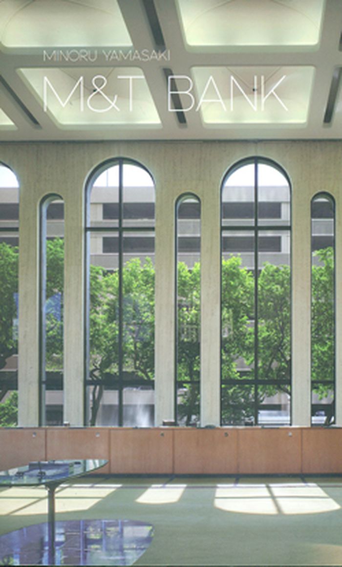
Minoru Yamasaki: M Bank
Minoru Yamasaki: M Bank
Actions:
Prix:
$18.50
(disponible sur commande)
Résumé:
The first in a series of publications on mid-century architecture in the Buffalo Books series, this book documents the M bank, designed by Minoru Yamasaki and completed in 1966. Includes photographs by Baltazar Korab, James Warder, and Biff Henrich, other historical photographs, drawings and sketches.
Titre:
Minoru Yamasaki: M Bank
Actions:
Prix:
$18.50
(disponible sur commande)
Résumé:
The first in a series of publications on mid-century architecture in the Buffalo Books series, this book documents the M bank, designed by Minoru Yamasaki and completed in 1966. Includes photographs by Baltazar Korab, James Warder, and Biff Henrich, other historical photographs, drawings and sketches.
Classification:
livres
livres
Publication:
juin 2012
juin 2012
Sujet:
Architecture, monographies
Architecture, monographies
Classification:
livres
livres
Titre:
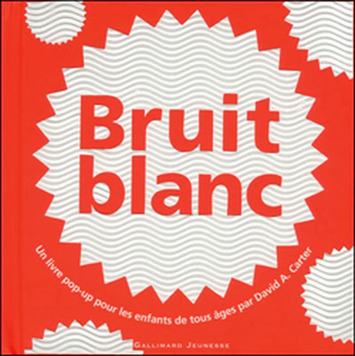
Bruit blanc
Bruit blanc
Actions:
Prix:
$34.95
(disponible sur commande)
Résumé:
Cet ultime volume d'une collection unanimement célébrée par le public et la critique est une suite de structures de papier au design élégant qui déploient de fascinants effets mobilisant tous les sens. En suivant le fil du texte poétique, le lecteur s'émerveillera de page en page d'une explosion de couleurs et de formes créant chacune leur propre bruit.
Titre:
Bruit blanc
Actions:
Prix:
$34.95
(disponible sur commande)
Résumé:
Cet ultime volume d'une collection unanimement célébrée par le public et la critique est une suite de structures de papier au design élégant qui déploient de fascinants effets mobilisant tous les sens. En suivant le fil du texte poétique, le lecteur s'émerveillera de page en page d'une explosion de couleurs et de formes créant chacune leur propre bruit.
Classification:
livres
livres
Publication:
novembre 2010
novembre 2010
Classification:
livres
livres
Titre:
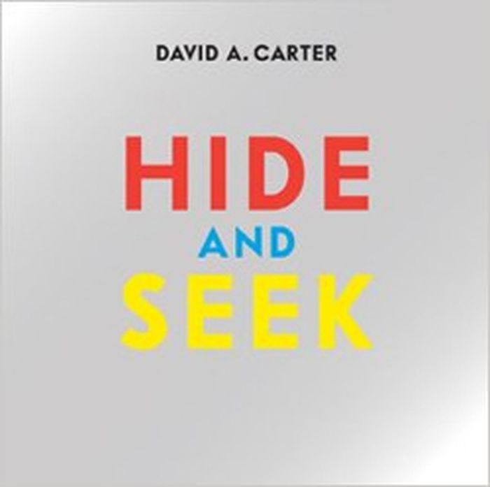
Hide and seek
Hide and seek
Actions:
Prix:
$29.00
(disponible sur commande)
Résumé:
“A fish and a teardrop. Five black spots, four blossoms blue, and a T that is white. A heart and an arabesque. A smile, a black Q, and a reflection of you.” These are just some of the hundreds of objects readers are invited to find in David Carter’s latest art pop-up book, Hide and Seek.
Titre:
Hide and seek
Actions:
Prix:
$29.00
(disponible sur commande)
Résumé:
“A fish and a teardrop. Five black spots, four blossoms blue, and a T that is white. A heart and an arabesque. A smile, a black Q, and a reflection of you.” These are just some of the hundreds of objects readers are invited to find in David Carter’s latest art pop-up book, Hide and Seek.
Classification:
livres
livres
Publication:
novembre 2012
novembre 2012
Sujet:
Pop Up
Pop Up
Classification:
livres
livres
Titre:
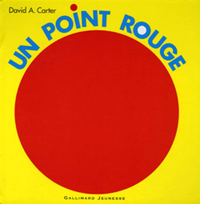
Un point rouge
Un point rouge
Actions:
Prix:
$43.50
(disponible sur commande)
Résumé:
Un livre pop-up pour les enfants de tous âges. À chaque page se trouvent des prodiges d’ingéniosité. D’étonnantes sculptures de papier jaillissent, crissent et s’épanouissent entre vos mains. Un livre aussi esthétique qu’inventif et un point rouge.
$43.50
(disponible sur commande)
Résumé:
Un livre pop-up pour les enfants de tous âges. À chaque page se trouvent des prodiges d’ingéniosité. D’étonnantes sculptures de papier jaillissent, crissent et s’épanouissent entre vos mains. Un livre aussi esthétique qu’inventif et un point rouge.
Titre:
Un point rouge
Actions:
Prix:
$43.50
(disponible sur commande)
Résumé:
Un livre pop-up pour les enfants de tous âges. À chaque page se trouvent des prodiges d’ingéniosité. D’étonnantes sculptures de papier jaillissent, crissent et s’épanouissent entre vos mains. Un livre aussi esthétique qu’inventif et un point rouge.
Classification:
livres
livres
Publication:
novembre 2014
novembre 2014
Sujet:
Pop Up
Pop Up