livres
$82.50
(disponible sur commande)
Résumé:
Piloting a single-engine biplane high above Washington D.C. in 1920, the intrepid inventor and aviation pioneer Sherman Fairchild first tested his custom-built sky camera, effectively founding the aerial photography company that would bear his name. Roaming America's skies for the next 40 years, the photographers of the Fairchild Aerial Survey Company documented nearly(...)
octobre 2001, New York
Cities from the sky : an aerial portrait of America
Actions:
Prix:
$82.50
(disponible sur commande)
Résumé:
Piloting a single-engine biplane high above Washington D.C. in 1920, the intrepid inventor and aviation pioneer Sherman Fairchild first tested his custom-built sky camera, effectively founding the aerial photography company that would bear his name. Roaming America's skies for the next 40 years, the photographers of the Fairchild Aerial Survey Company documented nearly every major city in the United States. Their images, bot maplike shots from high above and low-angle raking views, form a definitive portrait of the American landscape. By the 1970s, the Fairchild archive was scattered across the country. Painstakingly reassembled for this book, the images (many of which have never been seen before) are brought together here for the first time. This large-format book collects over 125 extraordinary images taken between the 1920s and the 1960s. The photographs, valued both as works of art and as tools for urban historians, often capture historic moments: the Capitol Building during Franklin Delano Roosevelt's first inauguration and Yankee Stadium during Don Larsen's perfect game in the 1956 World Series. Others depict architectural lands: the Empire State Building, the Statue of Liberty, the Washington Monument, Hoover Dam, and Alcatraz, to name a few.
livres
octobre 2001, New York
$98.00
(disponible sur commande)
Résumé:
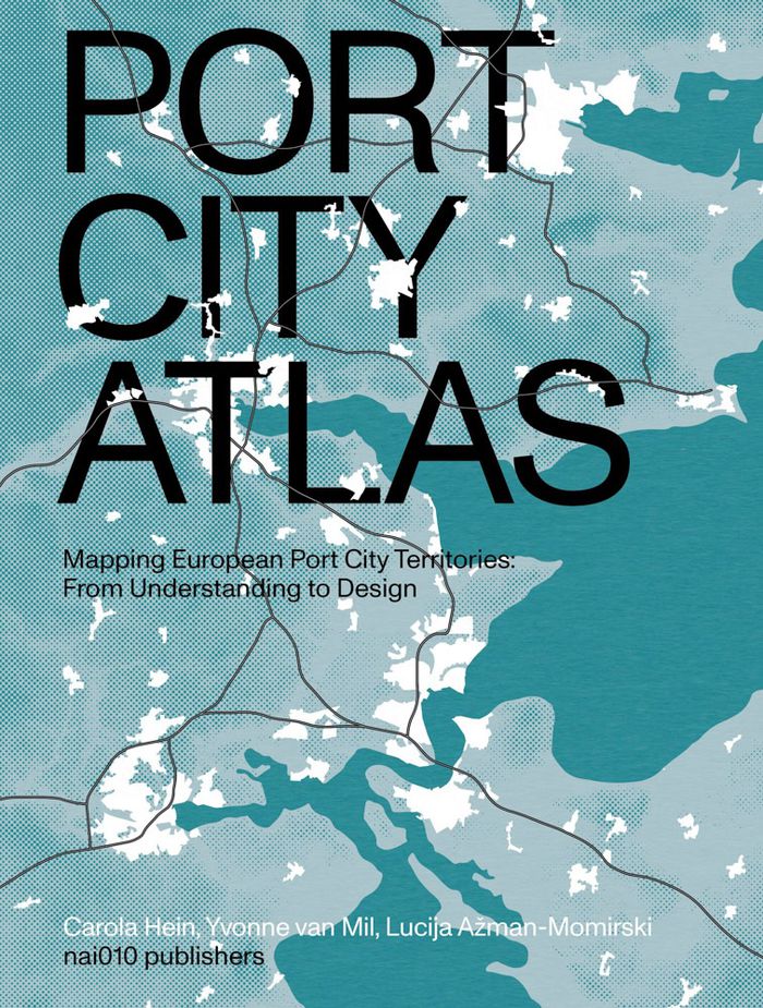
A multitude of port cities dot Europe’s coastline, each with its own history and relationship to sea transportation and development. In the era of climate change, these cities can offer paradigms and guidance for sustainable development. Taking a comprehensive, map-based approach, "Port city atlas" offers visualizations of 100 port city territories located on four seas(...)
octobre 2023
Port city atlas: Mapping European port city territories: From understanding to design
Actions:
Prix:
$98.00
(disponible sur commande)
Résumé:
A multitude of port cities dot Europe’s coastline, each with its own history and relationship to sea transportation and development. In the era of climate change, these cities can offer paradigms and guidance for sustainable development. Taking a comprehensive, map-based approach, "Port city atlas" offers visualizations of 100 port city territories located on four seas and connected through shared waters—from Amsterdam, Antwerp, Barcelona, Bilbao, Bordeaux, Bremen, Calais, Cork, Dover, Dublin, Felixstowe, Fredericia, Ghent, Hamburg, Helsinki, Kiel, Københavns and La Rochelle to Limerick, Liverpool, London, Lübeck, Malmø, Palermo, Ravenna, Riga, Rønne, Rotterdam, Sköldvik, Stockholm, Tallinn, Venice, Zeebrugge and countless others. Conceived as a reference work, "Port city atlas" provides a foundation for comparative analysis beyond the case-study approach, offering a uniquely sea-oriented take on the understanding and urban design of Europe.
$59.95
(disponible sur commande)
Résumé:
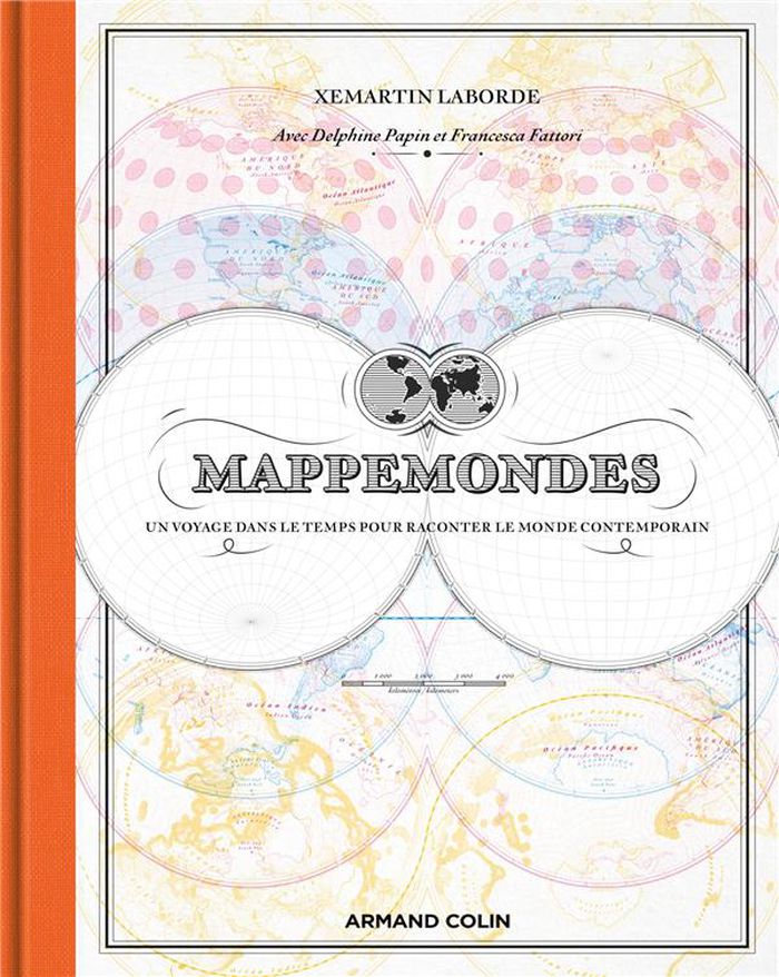
Et si on reprenait l'écrin des cartes d'Antan pour représenter notre monde actuel ? . C'était la carte phare des anciens atlas, mais les ouvrages modernes l'ont délaissée. Pourtant, la mappemonde recèle bien des atouts. Xemartin Laborde ressuscite cette carte mythique dans une approche innovante, où l'esthétisme suranné se marie à la représentation des enjeux(...)
janvier 2024
Mappemondes : Un voyage dans le temps pour raconter le monde contemporain
Actions:
Prix:
$59.95
(disponible sur commande)
Résumé:
Et si on reprenait l'écrin des cartes d'Antan pour représenter notre monde actuel ? . C'était la carte phare des anciens atlas, mais les ouvrages modernes l'ont délaissée. Pourtant, la mappemonde recèle bien des atouts. Xemartin Laborde ressuscite cette carte mythique dans une approche innovante, où l'esthétisme suranné se marie à la représentation des enjeux contemporains. Introduites par des textes de Delphine Papin et de Francesca Fattori, les mappemondes de cet ouvrage sont autant de formidables outils pour contempler la Terre d'un point de vue global, que des invitations à se plonger dans ses détails les plus étonnants. Des vents et marées jusqu'aux frontières artificielles que les humains érigent, en passant par la répartition des forêts, les séismes, la montée des eaux et le réchauffement climatique, chacune des cartes de cet atlas vous invite à voir notre planète sous un angle différent.
$71.95
(disponible en magasin)
Résumé:
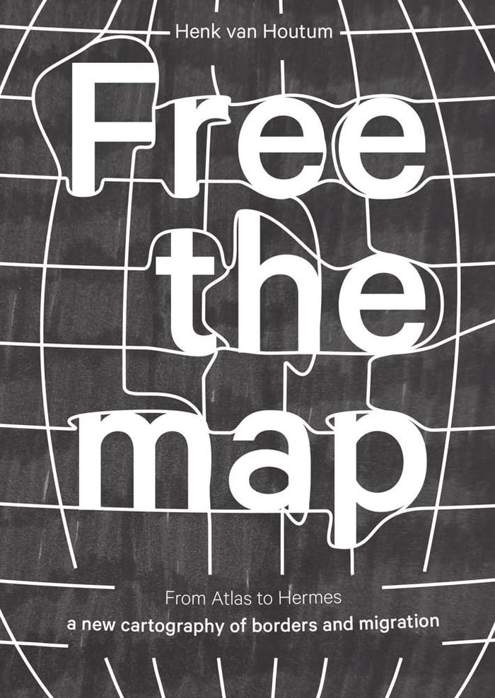
A map is a visual story of the world. It feeds our imagination and shapes our view of the world. A standard atlas, however, predominantly tells only one story: that of the nation-state. It depicts a world in which people are uniformly packed into national containers, enclosed by borders, and in which migration is often represented as threatening invasion arrows. "Free the(...)
mars 2024
Free the map: From Atlas to Hermes, a new cartography of borders and migration
Actions:
Prix:
$71.95
(disponible en magasin)
Résumé:
A map is a visual story of the world. It feeds our imagination and shapes our view of the world. A standard atlas, however, predominantly tells only one story: that of the nation-state. It depicts a world in which people are uniformly packed into national containers, enclosed by borders, and in which migration is often represented as threatening invasion arrows. "Free the map" goes beyond this narrow, state-centric cartography. The book argues for a new cartographic story along the lines of Hermes, the grandson of Atlas and the god of mobility and human connections. To this end, it discusses several visually compelling, alternative cartographic representations of borders and migration. "Free the map" ends with a call to action; artists and cartographers offer exciting ready-to-use challenges for educational and public resources.
$34.95
(disponible sur commande)
Résumé:
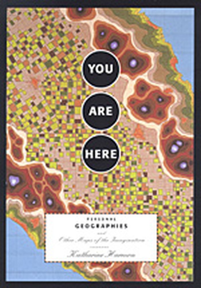
Maps need not just show continents and oceans: there are maps to heaven and hell; to happiness and despair; maps of moods, matrimony, and mythological places. With over 100 maps from artists, cartographers, and explorers, You are Here gives the reader a breath-taking view of worlds, both real and imaginary.
novembre 2003, New York
You are here : personal geographies and other maps of the imagination
Actions:
Prix:
$34.95
(disponible sur commande)
Résumé:
Maps need not just show continents and oceans: there are maps to heaven and hell; to happiness and despair; maps of moods, matrimony, and mythological places. With over 100 maps from artists, cartographers, and explorers, You are Here gives the reader a breath-taking view of worlds, both real and imaginary.
livres
Mapping England
$59.95
(disponible sur commande)
Résumé:
England has been continuously mapped from Medieval times to the present; politically, administratively and functionally as well as creatively and imaginatively. Maps have helped to define ideas of what England is and could be. They have developed and maintained its identity amongst other nations and explored its essential character and limits. The maps included show a(...)
Mapping England
Actions:
Prix:
$59.95
(disponible sur commande)
Résumé:
England has been continuously mapped from Medieval times to the present; politically, administratively and functionally as well as creatively and imaginatively. Maps have helped to define ideas of what England is and could be. They have developed and maintained its identity amongst other nations and explored its essential character and limits. The maps included show a country at times confident but also unsure of itself. Often drawn for purely practical purposes they frequently and unconsciously reveal the true state of the nation, and the hopes and fears of its inhabitants. England has been the crucible for many of the most significant developments in cartography and Mapping England tells the story of how its position in the world has evolved and, in so doing, entails new ways of seeing and expressing such findings in graphic form.
livres
octobre 2008
$32.95
(disponible sur commande)
Résumé:
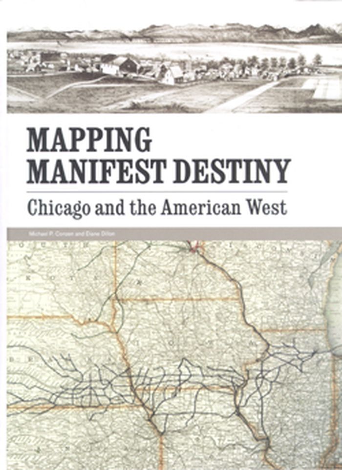
Published to coincide with an exhibition at Chicago’s Newberry Library, Mapping Manifest Destiny: Chicago and the American West charts the historic role maps have played in imagining, understanding, promoting, and exploiting the Western frontier of North America. Featuring more than sixty full-color maps and views from the sixteenth through the twentieth centuries, this(...)
août 2008, Chicago
Mapping manifest destiny: Chicago and the American West
Actions:
Prix:
$32.95
(disponible sur commande)
Résumé:
Published to coincide with an exhibition at Chicago’s Newberry Library, Mapping Manifest Destiny: Chicago and the American West charts the historic role maps have played in imagining, understanding, promoting, and exploiting the Western frontier of North America. Featuring more than sixty full-color maps and views from the sixteenth through the twentieth centuries, this fascinating book documents how maps encouraged Euro-Americans to see the West as a land of promise. Maps helped visualize a nation destined to expand across the continent to the Pacific Ocean. Curators Michael P. Conzen and Diane Dillon present an interpretively rich, carefully researched selection of items drawing on the Newberry’s superb collections of historic maps and Western Americana. They have organized the book into four sections: maps for empire, maps for building a new nation, maps for enlightenment, and maps for business.
$71.95
(disponible sur commande)
Résumé:
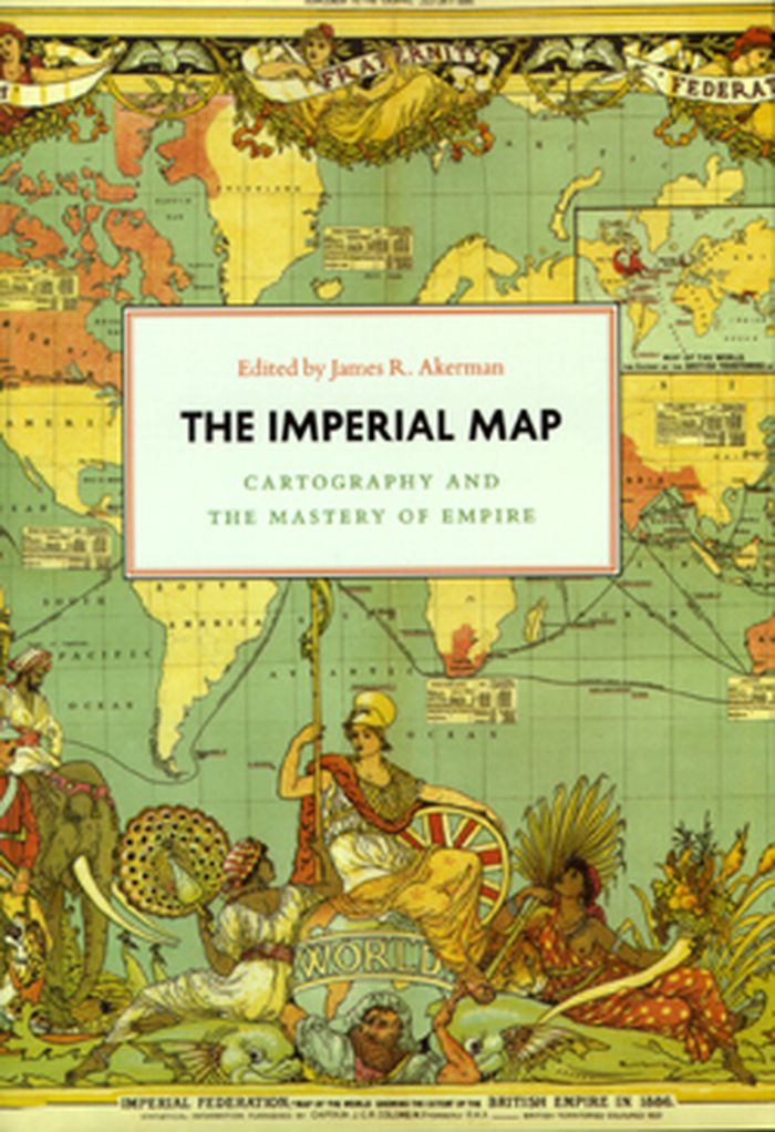
Critically reflecting on elements of mapping and imperialism from the late seventeenth century to the early twentieth century, the essays discuss the nature of the imperial map through a series of case studies of empires, from the Qing dynasty of China, to the Portuguese empire in South America, to American imperial pretensions in the Pacific Ocean, among others.(...)
janvier 2009, Chicago
The imperial map cartography and the mastery of empire
Actions:
Prix:
$71.95
(disponible sur commande)
Résumé:
Critically reflecting on elements of mapping and imperialism from the late seventeenth century to the early twentieth century, the essays discuss the nature of the imperial map through a series of case studies of empires, from the Qing dynasty of China, to the Portuguese empire in South America, to American imperial pretensions in the Pacific Ocean, among others. Collectively, the essays reveal that the relationship between mapping and imperialism, as well as the practice of political and economic domination of weak polities by stronger ones, is a rich and complex historical theme that continues to resonate in our modern day.
$72.00
(disponible sur commande)
Résumé:
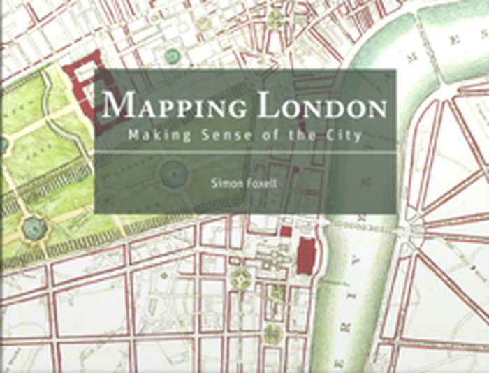
Mapping London: Making Sense of the City is a beautiful, compelling anthology of over six centuries of London maps, tracing the mesmerizing evolution of the city and exploring the hopes and fears of its inhabitants as history unfolds. The book is a cartographic journey, charting the influence of Roman city planning, Saxon feudalism, Medieval tumult, imperial hubris,(...)
Mapping London: making sense of the city
Actions:
Prix:
$72.00
(disponible sur commande)
Résumé:
Mapping London: Making Sense of the City is a beautiful, compelling anthology of over six centuries of London maps, tracing the mesmerizing evolution of the city and exploring the hopes and fears of its inhabitants as history unfolds. The book is a cartographic journey, charting the influence of Roman city planning, Saxon feudalism, Medieval tumult, imperial hubris, contemporary town planning and more on this great metropolis. In this comprehensive survey the maps are allowed to speak for themselves, revealing not only their political and social context, but also the dreams of their makers and the drama of their creation. Often these maps are objects of great skill and beauty and the names of the greatest of their makers are still revered today. A lavishly illustrated hardback book, Mapping London explores the city through the ages in all its labyrinthine glory.
Transit maps of the world
$27.50
(disponible sur commande)
Résumé:
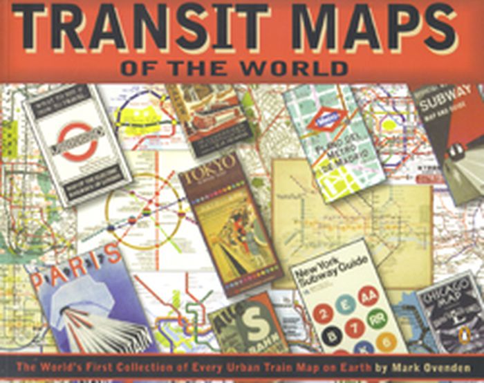
Transit Maps of the World is the first, and only, comprehensive collection of every rapid-transit system map on earth. Using glorious graphics, Mark Ovenden traces the history of mass transit - including rare and historic maps, diagrams, and photographs, some available for the first time since their original publication. Transit Maps is a coffee-table essential for anyone(...)
octobre 2007, New York, Toronto, London
Transit maps of the world
Actions:
Prix:
$27.50
(disponible sur commande)
Résumé:
Transit Maps of the World is the first, and only, comprehensive collection of every rapid-transit system map on earth. Using glorious graphics, Mark Ovenden traces the history of mass transit - including rare and historic maps, diagrams, and photographs, some available for the first time since their original publication. Transit Maps is a coffee-table essential for anyone who's ever traveled in a city, as well as a graphic designer's bible, a transport enthusiast's dream, and the ideal gift for the most challenging relative! Pick up Transit Maps of the World for a truly unusual journey.
