771 Résultats
Classification:
livres
livres
Actions:
Exemplaires:
Description:
136 pages : illustrations (chiefly color) ; 27 cm
Description:
136 pages : illustrations (chiefly color) ; 27 cm
Auteur:
Sujet:
Publication:
Farnham : Lund Humphries in association with London Transport Museum, 2012.
Farnham : Lund Humphries in association with London Transport Museum, 2012.
Titre:
London Underground maps : art, design and cartography / Claire Dobbin.
Actions:
Exemplaires:
Description:
136 pages : illustrations (chiefly color) ; 27 cm
London Underground maps : art, design and cartography / Claire Dobbin.
Actions:
Exemplaires:
Description:
136 pages : illustrations (chiefly color) ; 27 cm
Classification:
livres
livres
Publication:
Farnham : Lund Humphries in association with London Transport Museum, 2012.
Farnham : Lund Humphries in association with London Transport Museum, 2012.
Auteur:
Sujet:
Classification:
livres
livres
Titre:
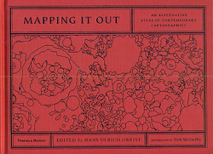
Mapping it out
Mapping it out
Actions:
Prix:
$57.00
(disponible sur commande)
Résumé:
Over 130 leading lights from different fields artists, architects, writers and designers, geographers, mathematicians, computer pioneers, scientists make sense of exterior and interior worlds through highly personal and imaginative maps and charts. Some have translated scientific data into simplified visual language, while others have condensed vast social, political or(...)
Titre:
Mapping it out
Actions:
Prix:
$57.00
(disponible sur commande)
Résumé:
Over 130 leading lights from different fields artists, architects, writers and designers, geographers, mathematicians, computer pioneers, scientists make sense of exterior and interior worlds through highly personal and imaginative maps and charts. Some have translated scientific data into simplified visual language, while others have condensed vast social, political or natural forms into concise diagrams. Many have reworked existing maps to subvert their original purpose or to present an alternative view of reality. Others play with the maps commitment to truth by plotting invented worlds and charting imaginative flights of fancy. In the introduction, acclaimed novelist Tom McCarthy reflects on the relationship between maps, literature and knowledge, while Hans Ulrich Obrist closes the book by considering the territory of maps from the perspective of the arts and philosophy.
Classification:
livres
livres
Publication:
juin 2014
juin 2014
Classification:
livres
livres
Actions:
Exemplaires:
Description:
88 pages & 5 leaves : illustrations ; 39 cm
Description:
88 pages & 5 leaves : illustrations ; 39 cm
Auteur:
Publication:
Maastricht, NL : Jan van Eyck Printing and Publishing, 2025.
Maastricht, NL : Jan van Eyck Printing and Publishing, 2025.
Titre:
The (incomplete) cosmic catalogue
Actions:
Exemplaires:
Description:
88 pages & 5 leaves : illustrations ; 39 cm
The (incomplete) cosmic catalogue
Actions:
Exemplaires:
Description:
88 pages & 5 leaves : illustrations ; 39 cm
Classification:
livres
livres
Publication:
Maastricht, NL : Jan van Eyck Printing and Publishing, 2025.
Maastricht, NL : Jan van Eyck Printing and Publishing, 2025.
Auteur:
Classification:
livres
livres
Actions:
Prix:
$45.00
(disponible sur commande)
Résumé:
Since the turn of the 21st century, there has been a significant expansion in the field of transhistorical exhibition practice—that is, exhibitions in which objects from various art-historical periods and cultural contexts are put on display together. These juxtapositions are made in an effort to question traditional museological notions like chronology, context and(...)
Titre:
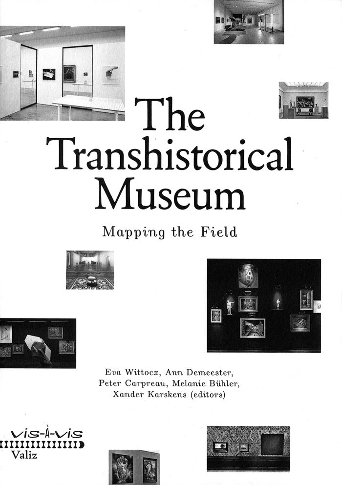
The transhistorical museum: mapping the field
Actions:
Prix:
$45.00
(disponible sur commande)
Résumé:
Since the turn of the 21st century, there has been a significant expansion in the field of transhistorical exhibition practice—that is, exhibitions in which objects from various art-historical periods and cultural contexts are put on display together. These juxtapositions are made in an effort to question traditional museological notions like chronology, context and category in the space of the museum itself. Drawing on the expertise of a wide range of international museum professionals, "The Transhistorical Museum: Mapping the Field" considers a range of such transhistorical curatorial efforts, exploring the rationale behind these projects, the particular challenges they present and the particular rewards they can offer. This volume surveys the history and future potential of the phenomenon of the transhistorical museum.
Classification:
livres
livres
Publication:
juin 2018
juin 2018
Sujet:
Muséologie
Muséologie
Classification:
livres
livres
Actions:
Exemplaires:
Description:
xxi, 258 pages : illustrations (chiefly color), color plans ; 24 cm
Description:
xxi, 258 pages : illustrations (chiefly color), color plans ; 24 cm
Auteur:
Sujet:
Publication:
Zürich, Switzerland : Lars Müller Publishers, [2019], ©2019
Zürich, Switzerland : Lars Müller Publishers, [2019], ©2019
Titre:
Future Cities Laboratory : indicia 02 / Stephen Cairns, Devisari Tunas (ed.).
Actions:
Exemplaires:
Description:
xxi, 258 pages : illustrations (chiefly color), color plans ; 24 cm
Future Cities Laboratory : indicia 02 / Stephen Cairns, Devisari Tunas (ed.).
Actions:
Exemplaires:
Description:
xxi, 258 pages : illustrations (chiefly color), color plans ; 24 cm
Classification:
livres
livres
Publication:
Zürich, Switzerland : Lars Müller Publishers, [2019], ©2019
Zürich, Switzerland : Lars Müller Publishers, [2019], ©2019
Auteur:
Sujet:
Classification:
livres
livres
Actions:
Exemplaires:
Description:
411 pages : color illustrations, color maps, plans ; 28 cm
Description:
411 pages : color illustrations, color maps, plans ; 28 cm
Auteur:
Sujet:
Publication:
[Cambridge, Mass] : Harvard University Graduate School of Design, 2012.
[Cambridge, Mass] : Harvard University Graduate School of Design, 2012.
Titre:
A line in the Andes = Una linea en Los Andes / [edited by Felipe Correa, Ramiro Almeida].
Actions:
Exemplaires:
Description:
411 pages : color illustrations, color maps, plans ; 28 cm
A line in the Andes = Una linea en Los Andes / [edited by Felipe Correa, Ramiro Almeida].
Actions:
Exemplaires:
Description:
411 pages : color illustrations, color maps, plans ; 28 cm
Classification:
livres
livres
Publication:
[Cambridge, Mass] : Harvard University Graduate School of Design, 2012.
[Cambridge, Mass] : Harvard University Graduate School of Design, 2012.
Auteur:
Sujet:
Classification:
livres
livres
Sujet:
Publication:
ZKM 2024
ZKM 2024
Classification:
livres
livres
Publication:
ZKM 2024
ZKM 2024
Sujet:
Classification:
livres
livres
Prix:
$69.95
(disponible sur commande)
Résumé:
An Atlas of Agendas is a political, social and economic atlas: informing the public about socio-political power structures and activating opportunities for the self and the commons. The French research and design group Bureau d´Études has been producing maps of contemporary political, social and economic systems that allow people to inform, reposition and empower(...)
Titre:
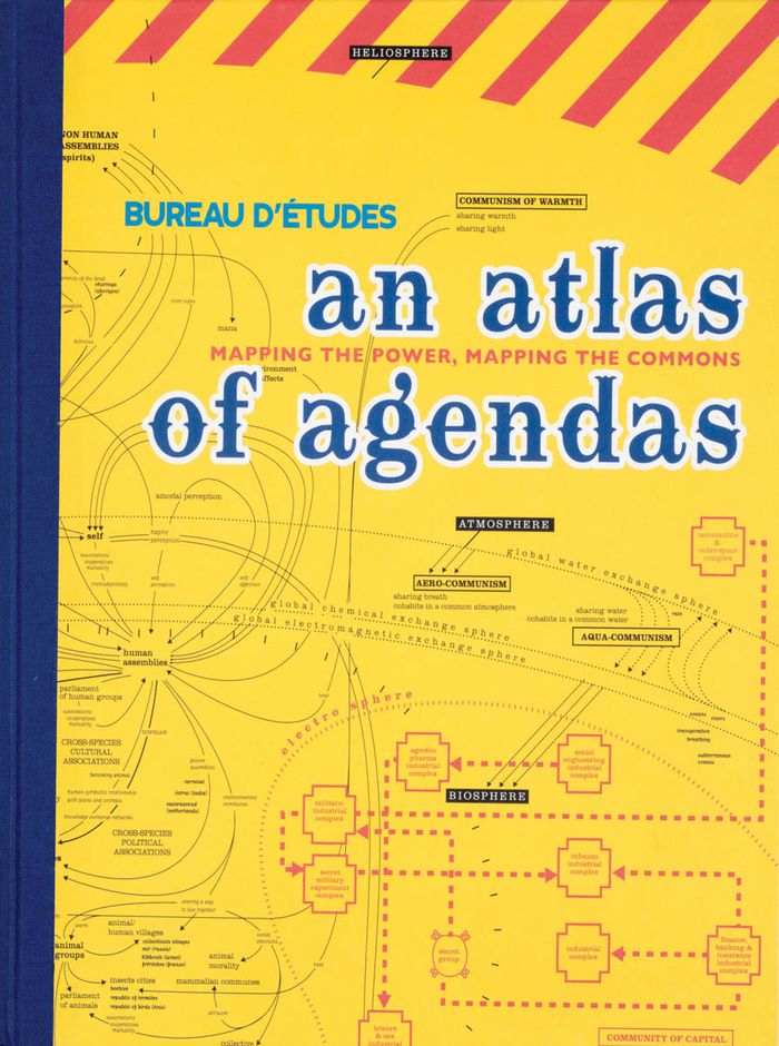
An atlas of agendas: mapping the power, mapping the commons
Actions:
Prix:
$69.95
(disponible sur commande)
Résumé:
An Atlas of Agendas is a political, social and economic atlas: informing the public about socio-political power structures and activating opportunities for the self and the commons. The French research and design group Bureau d´Études has been producing maps of contemporary political, social and economic systems that allow people to inform, reposition and empower themselves. Revealing what normally remains invisible, often in the shape of large-sized banners, and contextualizing apparently separate elements within new frameworks, these visualizations of interests and relations re-articulate the dominant symbolic order and actualize existing structures that otherwise remain concealed and unknown. This large-size hardcover book, panoramic in scope and theoretically both profound and accessible, is THE atlas for an emancipatory new citizenship that utilizes the opportunities of info-graphics from the local to the global and back again.
Classification:
livres
livres
Publication:
mars 2020
mars 2020
Classification:
livres
livres

Actions:
Prix:
$27.50
(disponible sur commande)
Résumé:
Todd Presner, David Shepard, and Yoh Kawano put digital humanities theory into practice to chart the proliferating cultural records of places around the world. A digital platform transmogrified into a book, it explains the ambitious online project of the same name that maps the historical layers of city spaces in an interactive, hypermedia environment. The authors examine(...)
Publication:
juin 2014
juin 2014
Titre:
Hypercities: thick mapping in the digital humanities
Actions:
Prix:
$27.50
(disponible sur commande)
Résumé:
Todd Presner, David Shepard, and Yoh Kawano put digital humanities theory into practice to chart the proliferating cultural records of places around the world. A digital platform transmogrified into a book, it explains the ambitious online project of the same name that maps the historical layers of city spaces in an interactive, hypermedia environment. The authors examine the media archaeology of Google Earth and the cultural–historical meaning of map projections, and explore recent events—the “Arab Spring” and the Fukushima nuclear power plant disaster—through social media mapping that incorporates data visualizations, photographic documents, and Twitter streams.
Classification:
livres
livres
Publication:
juin 2014
juin 2014
Classification:
périodiques
périodiques
Actions:
Prix:
$7.00
(disponible sur commande)
Résumé:
Les travaux présentés dans ce numéro dressent des cartographies conceptuelles de territoires en redéfinition : le réseau Internet, l'environnement naturel et les axes de circulation. On ne trouvera pas ici de cartographie au sens propre; celle-ci servira plutôt de métaphore et prêtera ses outils à des investigations et des approches qui interrogent notre relation avec ces(...)
Titre:
CV 76: cartographie / mapping
Actions:
Prix:
$7.00
(disponible sur commande)
Résumé:
Les travaux présentés dans ce numéro dressent des cartographies conceptuelles de territoires en redéfinition : le réseau Internet, l'environnement naturel et les axes de circulation. On ne trouvera pas ici de cartographie au sens propre; celle-ci servira plutôt de métaphore et prêtera ses outils à des investigations et des approches qui interrogent notre relation avec ces environnements et sont porteuses de questions éthiques. Portfolios : Joan Fontcuberta, David Maisel, Bill Vazan. Textes de Sylvain Campeau, John K. Grande. Henry Lehman et Serge Bérard.
Classification:
périodiques
périodiques
Publication:
juillet 2007, Montréal
juillet 2007, Montréal
Sujet:
Revues
Revues