705 Résultats
Classification:
livres
livres
Actions:
Prix:
$30.00
(disponible sur commande)
Résumé:
First published in 1991, "How to Lie with Maps" revealed how the choices mapmakers make—consciously or unconsciously—mean that every map inevitably presents only one of many possible stories about the places it depicts. Fully updated for the digital age, this new edition examines the myriad ways that technology offers new opportunities for cartographic mischief,(...)
Titre:
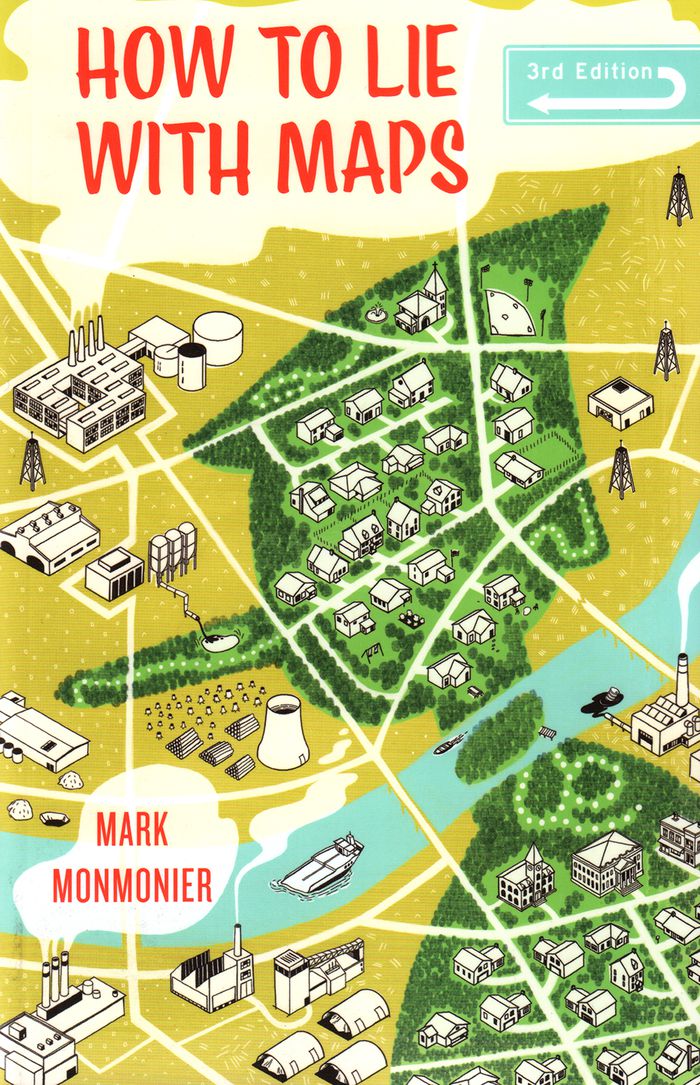
How to lie with maps, 3rd edition
Actions:
Prix:
$30.00
(disponible sur commande)
Résumé:
First published in 1991, "How to Lie with Maps" revealed how the choices mapmakers make—consciously or unconsciously—mean that every map inevitably presents only one of many possible stories about the places it depicts. Fully updated for the digital age, this new edition examines the myriad ways that technology offers new opportunities for cartographic mischief, deception, and propaganda. While retaining the same brevity, range, and humor as its predecessors, this third edition includes significant updates throughout as well as new chapters on image maps, prohibitive cartography, and online maps. It also includes an expanded section of color images and an updated list of sources for further reading.
Classification:
livres
livres
Publication:
avril 2018
avril 2018
Classification:
livres
livres
Actions:
Prix:
$35.95
(disponible sur commande)
Résumé:
Maps are magical. Every graphic, like every story, has a point of view, and New York is rife with mapmaking possibilities, thick with mythology, and glutted with history. "You are here: NYC" assembles some two hundred maps charting every inch and facet of the five boroughs, depicting New Yorks of past and present, and a city that never was. "A nightclub map of Harlem"(...)
Titre:
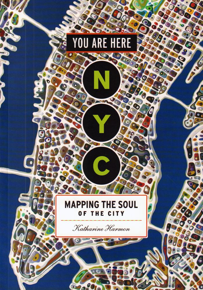
You are here : NYC mapping the soul of a city
Actions:
Prix:
$35.95
(disponible sur commande)
Résumé:
Maps are magical. Every graphic, like every story, has a point of view, and New York is rife with mapmaking possibilities, thick with mythology, and glutted with history. "You are here: NYC" assembles some two hundred maps charting every inch and facet of the five boroughs, depicting New Yorks of past and present, and a city that never was. "A nightclub map of Harlem" traces a boozy night from the Radium and the Cotton Club to the Savoy and then the Lafayette; "Wonders of New York" pinpoints three hundred sites of interest, including the alleged location of Captain Kidd's buried treasure; the Ghostbusters subway map plots the route from Astral Projections Place to Stay Puft Street; and a rejected proposal of ornate topiaries illustrates a Central Park that might have been. This sequel to the best-selling You Are Here includes original essays by Bob Mankoff, Maria Popova, Sarah Boxer, and Rebecca Cooper, among others.
Classification:
livres
livres
Publication:
novembre 2016
novembre 2016
Classification:
livres
livres
Actions:
Prix:
$38.95
(disponible sur commande)
Résumé:
''Nonstop Metropolis'', the culminating volume in a trilogy of atlases, conveys innumerable unbound experiences of New York City through twenty-six imaginative maps and informative essays. Bringing together the insights of dozens of experts—from linguists to music historians, ethnographers, urbanists, and environmental journalists—amplified by cartographers, artists, and(...)
Publication:
octobre 2016
octobre 2016
Titre:
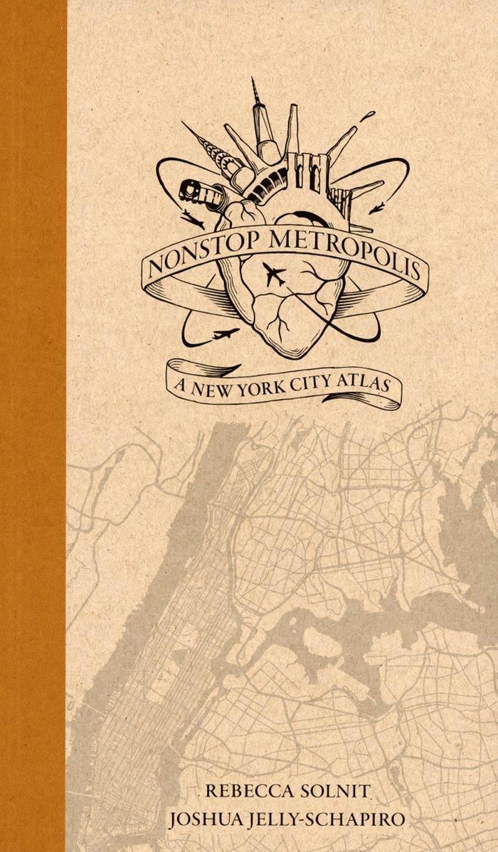
Nonstop metropolis: a New York City atlas
Actions:
Prix:
$38.95
(disponible sur commande)
Résumé:
''Nonstop Metropolis'', the culminating volume in a trilogy of atlases, conveys innumerable unbound experiences of New York City through twenty-six imaginative maps and informative essays. Bringing together the insights of dozens of experts—from linguists to music historians, ethnographers, urbanists, and environmental journalists—amplified by cartographers, artists, and photographers, it explores all five boroughs of New York City and parts of nearby New Jersey. We are invited to travel through Manhattan’s playgrounds, from polyglot Queens to many-faceted Brooklyn, and from the resilient Bronx to the mystical kung fu hip-hop mecca of Staten Island.
Classification:
livres
livres
Publication:
octobre 2016
octobre 2016
Classification:
livres
livres
Prix:
$32.95
(disponible sur commande)
Résumé:
Published to coincide with an exhibition at Chicago’s Newberry Library, Mapping Manifest Destiny: Chicago and the American West charts the historic role maps have played in imagining, understanding, promoting, and exploiting the Western frontier of North America. Featuring more than sixty full-color maps and views from the sixteenth through the twentieth centuries, this(...)
Publication:
août 2008, Chicago
août 2008, Chicago
Titre:
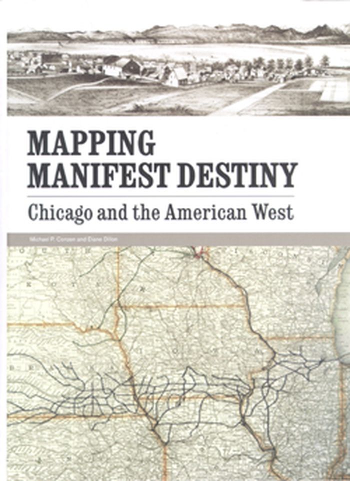
Mapping manifest destiny: Chicago and the American West
Actions:
Prix:
$32.95
(disponible sur commande)
Résumé:
Published to coincide with an exhibition at Chicago’s Newberry Library, Mapping Manifest Destiny: Chicago and the American West charts the historic role maps have played in imagining, understanding, promoting, and exploiting the Western frontier of North America. Featuring more than sixty full-color maps and views from the sixteenth through the twentieth centuries, this fascinating book documents how maps encouraged Euro-Americans to see the West as a land of promise. Maps helped visualize a nation destined to expand across the continent to the Pacific Ocean. Curators Michael P. Conzen and Diane Dillon present an interpretively rich, carefully researched selection of items drawing on the Newberry’s superb collections of historic maps and Western Americana. They have organized the book into four sections: maps for empire, maps for building a new nation, maps for enlightenment, and maps for business.
Classification:
livres
livres
Publication:
août 2008, Chicago
août 2008, Chicago
Classification:
livres
livres
Prix:
$71.95
(disponible sur commande)
Résumé:
Critically reflecting on elements of mapping and imperialism from the late seventeenth century to the early twentieth century, the essays discuss the nature of the imperial map through a series of case studies of empires, from the Qing dynasty of China, to the Portuguese empire in South America, to American imperial pretensions in the Pacific Ocean, among others.(...)
Publication:
janvier 2009, Chicago
janvier 2009, Chicago
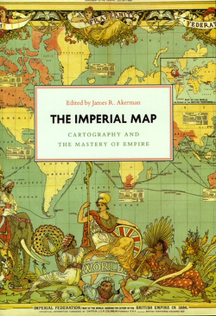
Titre:
The imperial map cartography and the mastery of empire
Actions:
Prix:
$71.95
(disponible sur commande)
Résumé:
Critically reflecting on elements of mapping and imperialism from the late seventeenth century to the early twentieth century, the essays discuss the nature of the imperial map through a series of case studies of empires, from the Qing dynasty of China, to the Portuguese empire in South America, to American imperial pretensions in the Pacific Ocean, among others. Collectively, the essays reveal that the relationship between mapping and imperialism, as well as the practice of political and economic domination of weak polities by stronger ones, is a rich and complex historical theme that continues to resonate in our modern day.
Classification:
livres
livres
Publication:
janvier 2009, Chicago
janvier 2009, Chicago
Classification:
livres
livres
Actions:
Prix:
$72.00
(disponible sur commande)
Résumé:
Mapping London: Making Sense of the City is a beautiful, compelling anthology of over six centuries of London maps, tracing the mesmerizing evolution of the city and exploring the hopes and fears of its inhabitants as history unfolds. The book is a cartographic journey, charting the influence of Roman city planning, Saxon feudalism, Medieval tumult, imperial hubris,(...)
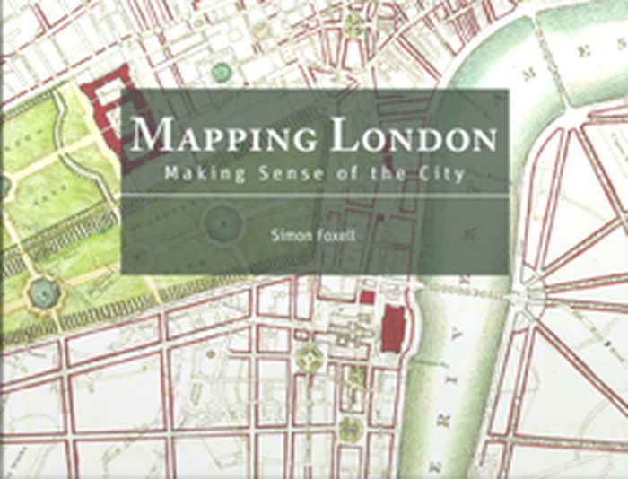
Titre:
Mapping London: making sense of the city
Actions:
Prix:
$72.00
(disponible sur commande)
Résumé:
Mapping London: Making Sense of the City is a beautiful, compelling anthology of over six centuries of London maps, tracing the mesmerizing evolution of the city and exploring the hopes and fears of its inhabitants as history unfolds. The book is a cartographic journey, charting the influence of Roman city planning, Saxon feudalism, Medieval tumult, imperial hubris, contemporary town planning and more on this great metropolis. In this comprehensive survey the maps are allowed to speak for themselves, revealing not only their political and social context, but also the dreams of their makers and the drama of their creation. Often these maps are objects of great skill and beauty and the names of the greatest of their makers are still revered today. A lavishly illustrated hardback book, Mapping London explores the city through the ages in all its labyrinthine glory.
Classification:
livres
livres
Publication:
janvier 2008, London
janvier 2008, London
Classification:
livres
livres
Titre:
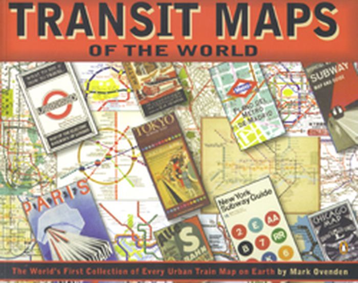
Transit maps of the world
Transit maps of the world
Actions:
Prix:
$27.50
(disponible sur commande)
Résumé:
Transit Maps of the World is the first, and only, comprehensive collection of every rapid-transit system map on earth. Using glorious graphics, Mark Ovenden traces the history of mass transit - including rare and historic maps, diagrams, and photographs, some available for the first time since their original publication. Transit Maps is a coffee-table essential for anyone(...)
Publication:
octobre 2007, New York, Toronto, London
octobre 2007, New York, Toronto, London
Titre:
Transit maps of the world
Actions:
Prix:
$27.50
(disponible sur commande)
Résumé:
Transit Maps of the World is the first, and only, comprehensive collection of every rapid-transit system map on earth. Using glorious graphics, Mark Ovenden traces the history of mass transit - including rare and historic maps, diagrams, and photographs, some available for the first time since their original publication. Transit Maps is a coffee-table essential for anyone who's ever traveled in a city, as well as a graphic designer's bible, a transport enthusiast's dream, and the ideal gift for the most challenging relative! Pick up Transit Maps of the World for a truly unusual journey.
Classification:
livres
livres
Publication:
octobre 2007, New York, Toronto, London
octobre 2007, New York, Toronto, London
Classification:
livres
livres
Prix:
$69.95
(disponible sur commande)
Résumé:
An Atlas of Agendas is a political, social and economic atlas: informing the public about socio-political power structures and activating opportunities for the self and the commons. The French research and design group Bureau d´Études has been producing maps of contemporary political, social and economic systems that allow people to inform, reposition and empower(...)
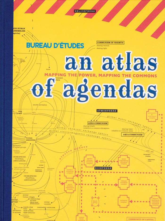
Titre:
An atlas of agendas: mapping the power, mapping the commons
Actions:
Prix:
$69.95
(disponible sur commande)
Résumé:
An Atlas of Agendas is a political, social and economic atlas: informing the public about socio-political power structures and activating opportunities for the self and the commons. The French research and design group Bureau d´Études has been producing maps of contemporary political, social and economic systems that allow people to inform, reposition and empower themselves. Revealing what normally remains invisible, often in the shape of large-sized banners, and contextualizing apparently separate elements within new frameworks, these visualizations of interests and relations re-articulate the dominant symbolic order and actualize existing structures that otherwise remain concealed and unknown. This large-size hardcover book, panoramic in scope and theoretically both profound and accessible, is THE atlas for an emancipatory new citizenship that utilizes the opportunities of info-graphics from the local to the global and back again.
Classification:
livres
livres
Publication:
mars 2020
mars 2020
Classification:
livres
livres
Actions:
Prix:
$124.95
(disponible sur commande)
Résumé:
This atlas presents over hundred years of Ng’ambo’s history and urban development through maps, plans, surveys and images, and provides insights into its present-day cultural landscape through subjects such as architecture, toponymy, cultural activities, public recreation, places for social interaction, handcrafts and urban heritage.
Publication:
janvier 2019
janvier 2019
Titre:
Ng’ambo Atlas: historic urban landscape of Zanzibar town’s ‘other side’
Actions:
Prix:
$124.95
(disponible sur commande)
Résumé:
This atlas presents over hundred years of Ng’ambo’s history and urban development through maps, plans, surveys and images, and provides insights into its present-day cultural landscape through subjects such as architecture, toponymy, cultural activities, public recreation, places for social interaction, handcrafts and urban heritage.
Classification:
livres
livres
Publication:
janvier 2019
janvier 2019
Classification:
livres
livres
Prix:
$44.95
(disponible sur commande)
Résumé:
Many people have a love of maps. But what lies behind the process of map-making? How have cartographers through the centuries developed their craft and established a language of maps which helps them to better represent our world and help users to understand it? This book tells the story of how widely accepted mapping conventions originated and evolved—from map(...)
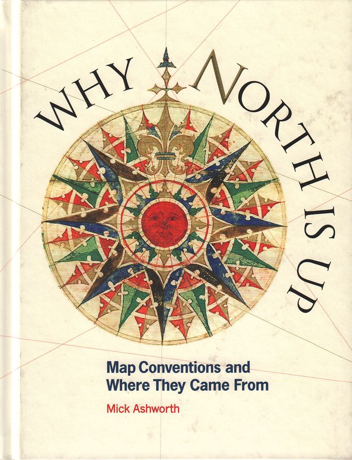
Titre:
Why North is up: map conventions and where they came from
Actions:
Prix:
$44.95
(disponible sur commande)
Résumé:
Many people have a love of maps. But what lies behind the process of map-making? How have cartographers through the centuries developed their craft and established a language of maps which helps them to better represent our world and help users to understand it? This book tells the story of how widely accepted mapping conventions originated and evolved—from map orientation, projections, typography, and scale, to the use of color, symbols, ways of representing relief, and the treatment of boundaries and place names. It charts the fascinating story of how conventions have changed in response to new technologies and ever-changing mapping requirements, how symbols can be a matter of life or death, why universal acceptance of conventions can be difficult to achieve, and how new mapping conventions are developing to meet the needs of modern cartography. "Why North is Up" offers a guide to the sometimes hidden techniques of map-making through the centuries.
Classification:
livres
livres
Publication:
décembre 2019
décembre 2019