705 Résultats
Classification:
livres
livres
Actions:
Exemplaires:
Description:
xii, 327 pages, 21 unnumbered pages of plates : illustrations ; 24 cm.
Description:
xii, 327 pages, 21 unnumbered pages of plates : illustrations ; 24 cm.
Auteur:
Sujet:
Publication:
Charlottesville : University of Virginia Press, 2007.
Charlottesville : University of Virginia Press, 2007.
Titre:
Victorian prism : refractions of the Crystal Palace / edited by James Buzard, Joseph W. Childers, and Eileen Gillooly.
Actions:
Exemplaires:
Description:
xii, 327 pages, 21 unnumbered pages of plates : illustrations ; 24 cm.
Victorian prism : refractions of the Crystal Palace / edited by James Buzard, Joseph W. Childers, and Eileen Gillooly.
Actions:
Exemplaires:
Description:
xii, 327 pages, 21 unnumbered pages of plates : illustrations ; 24 cm.
Classification:
livres
livres
Publication:
Charlottesville : University of Virginia Press, 2007.
Charlottesville : University of Virginia Press, 2007.
Auteur:
Sujet:
Classification:
livres
livres
Titre:
Ways of knowing cities / Laura Kurgan & Dare Brawley, editors ; with Isabelle Kirkham-Lewitt.
Ways of knowing cities / Laura Kurgan & Dare Brawley, editors ; with Isabelle Kirkham-Lewitt.
Actions:
Exemplaires:
Description:
276 pages : illustrations ; 23 cm
Description:
276 pages : illustrations ; 23 cm
Auteur:
Sujet:
Publication:
New York, NY : Columbia Books on Architecture and the City, an imprint of the Graduate School of Architecture, Planning, and Preservation, [2019]
New York, NY : Columbia Books on Architecture and the City, an imprint of the Graduate School of Architecture, Planning, and Preservation, [2019]
Titre:
Ways of knowing cities / Laura Kurgan & Dare Brawley, editors ; with Isabelle Kirkham-Lewitt.
Actions:
Exemplaires:
Description:
276 pages : illustrations ; 23 cm
Ways of knowing cities / Laura Kurgan & Dare Brawley, editors ; with Isabelle Kirkham-Lewitt.
Actions:
Exemplaires:
Description:
276 pages : illustrations ; 23 cm
Classification:
livres
livres
Publication:
New York, NY : Columbia Books on Architecture and the City, an imprint of the Graduate School of Architecture, Planning, and Preservation, [2019]
New York, NY : Columbia Books on Architecture and the City, an imprint of the Graduate School of Architecture, Planning, and Preservation, [2019]
Auteur:
Sujet:
Classification:
livres
livres
Actions:
Prix:
$47.95
(disponible sur commande)
Résumé:
Ce livre raconte l’exploration d’une terre inconnue, la nôtre. À la suite des voyageurs de la Renaissance partis cartographier les terra incognita du Nouveau Monde, « Terra Forma » propose, cinq siècles plus tard, de découvrir une autre Terre, ou plutôt de redécouvrir autrement celle que nous croyons si bien connaître en partant du constat que si les transformations(...)
Titre:
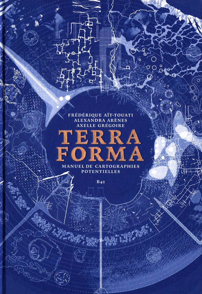
Terra forma : manuel de cartographies potentielles
Actions:
Prix:
$47.95
(disponible sur commande)
Résumé:
Ce livre raconte l’exploration d’une terre inconnue, la nôtre. À la suite des voyageurs de la Renaissance partis cartographier les terra incognita du Nouveau Monde, « Terra Forma » propose, cinq siècles plus tard, de découvrir une autre Terre, ou plutôt de redécouvrir autrement celle que nous croyons si bien connaître en partant du constat que si les transformations récentes des conditions d’habitabilité du monde sont si difficiles à percevoir, c’est parce que les représentations disponibles sont trop abstraites, lointaines, et dans une certaine mesure trop stables. En proposant une extension du vocabulaire cartographique, ce livre est un manifeste pour l’imagination géographique, et, ce faisant, politique. Si certains des phénomènes auxquels nous assistons (érosion des sols, épuisement des ressources, accélération des espaces-temps urbains, intensification des zones polluées) nous échappent par leur échelle, leur durée, leur ampleur, c’est par le développement de nos techniques de représentation que l’on peut espérer mieux les comprendre. En mettant en « cartes » certaines propositions des sciences du Système-Terre et de la pensée écologique contemporaine, « Terra Forma » permet de mieux saisir leur portée politique.
Classification:
livres
livres
Publication:
mai 2019
mai 2019
Classification:
livres
livres
Actions:
Prix:
$49.95
(disponible en magasin)
Résumé:
Cette étude de l’œuvre du géographe et intellectuel anarchiste est centrée sur sa démarche cartographique, sa volonté d'élaborer une carte de l'ensemble de la Terre, de concevoir ce qu'il appelait un "Grand Globe", suffisamment grand pour que l'on puisse distinguer les traits d'ensemble et de détail des reliefs. Si le projet ne vit pas le jour, il a contribué à renouveler(...)
Titre:
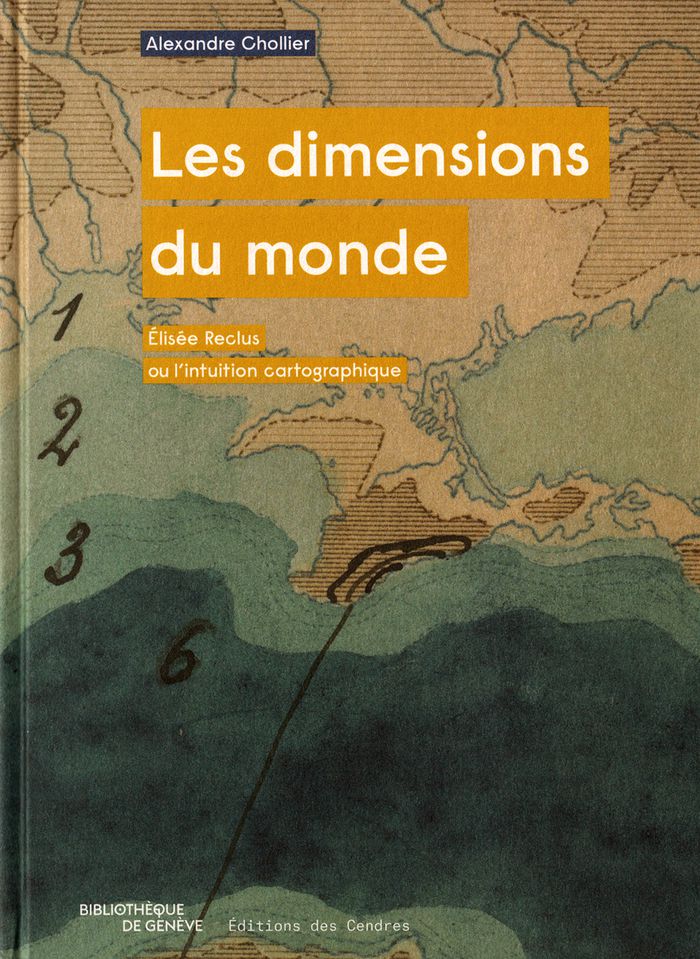
Les dimensions du monde : Élisée Reclus ou l’intuition cartographique
Actions:
Prix:
$49.95
(disponible en magasin)
Résumé:
Cette étude de l’œuvre du géographe et intellectuel anarchiste est centrée sur sa démarche cartographique, sa volonté d'élaborer une carte de l'ensemble de la Terre, de concevoir ce qu'il appelait un "Grand Globe", suffisamment grand pour que l'on puisse distinguer les traits d'ensemble et de détail des reliefs. Si le projet ne vit pas le jour, il a contribué à renouveler le regard sur le monde.
Classification:
livres
livres
Publication:
janvier 2018
janvier 2018
Classification:
livres
livres
Titre:
Black Atlantic worlds : landscape histories of the African diaspora / Oscar de la Torre, editor.
Black Atlantic worlds : landscape histories of the African diaspora / Oscar de la Torre, editor.
Actions:
Exemplaires:
Description:
xvi, 308 pages : illustrations (chiefly color), maps ; 28 cm
Description:
xvi, 308 pages : illustrations (chiefly color), maps ; 28 cm
Auteur:
Sujet:
Publication:
Washington, D.C. : Dumbarton Oaks, Trustees for Harvard University, [2026], ©2026
Washington, D.C. : Dumbarton Oaks, Trustees for Harvard University, [2026], ©2026
Titre:
Black Atlantic worlds : landscape histories of the African diaspora / Oscar de la Torre, editor.
Actions:
Exemplaires:
Description:
xvi, 308 pages : illustrations (chiefly color), maps ; 28 cm
Black Atlantic worlds : landscape histories of the African diaspora / Oscar de la Torre, editor.
Actions:
Exemplaires:
Description:
xvi, 308 pages : illustrations (chiefly color), maps ; 28 cm
Classification:
livres
livres
Publication:
Washington, D.C. : Dumbarton Oaks, Trustees for Harvard University, [2026], ©2026
Washington, D.C. : Dumbarton Oaks, Trustees for Harvard University, [2026], ©2026
Auteur:
Sujet:
Classification:
livres
livres
Actions:
Exemplaires:
Description:
200 pages : illustrations ; 24 cm
Description:
200 pages : illustrations ; 24 cm
Auteur:
Sujet:
Publication:
Aldershot, Hampshire, Great Britain ; Brookfield, Vt. : Ashgate, ©1999.
Aldershot, Hampshire, Great Britain ; Brookfield, Vt. : Ashgate, ©1999.
Titre:
Museums and the future of collecting / edited by Simon J. Knell.
Actions:
Exemplaires:
Description:
200 pages : illustrations ; 24 cm
Museums and the future of collecting / edited by Simon J. Knell.
Actions:
Exemplaires:
Description:
200 pages : illustrations ; 24 cm
Classification:
livres
livres
Publication:
Aldershot, Hampshire, Great Britain ; Brookfield, Vt. : Ashgate, ©1999.
Aldershot, Hampshire, Great Britain ; Brookfield, Vt. : Ashgate, ©1999.
Auteur:
Sujet:
Classification:
livres
livres
Actions:
Exemplaires:
Description:
375 pages : illustrations ; 22 cm
Description:
375 pages : illustrations ; 22 cm
Auteur:
Sujet:
Publication:
Montréal, Québec, Canada : Écosociété, 2019., ©2019
Montréal, Québec, Canada : Écosociété, 2019., ©2019
Titre:
La transition, c'est maintenant : choisir aujourd'hui ce que sera demain / Laure Waridel ; préface de Dominic Champagne.
Actions:
Exemplaires:
Description:
375 pages : illustrations ; 22 cm
La transition, c'est maintenant : choisir aujourd'hui ce que sera demain / Laure Waridel ; préface de Dominic Champagne.
Actions:
Exemplaires:
Description:
375 pages : illustrations ; 22 cm
Classification:
livres
livres
Publication:
Montréal, Québec, Canada : Écosociété, 2019., ©2019
Montréal, Québec, Canada : Écosociété, 2019., ©2019
Auteur:
Sujet:
Classification:
livres
livres
Titre:
Tooley's Dictionary of mapmakers / compiled by Ronald Vere Tooley ; with a pref. by Helen Wallis.
Tooley's Dictionary of mapmakers / compiled by Ronald Vere Tooley ; with a pref. by Helen Wallis.
Actions:
Exemplaires:
Description:
xii, 684 pages : illustrations ; 26 cm
Description:
xii, 684 pages : illustrations ; 26 cm
Auteur:
Sujet:
Publication:
Tring, Eng. : Map Collector Publications, 1979.
Tring, Eng. : Map Collector Publications, 1979.
Titre:
Tooley's Dictionary of mapmakers / compiled by Ronald Vere Tooley ; with a pref. by Helen Wallis.
Actions:
Exemplaires:
Description:
xii, 684 pages : illustrations ; 26 cm
Tooley's Dictionary of mapmakers / compiled by Ronald Vere Tooley ; with a pref. by Helen Wallis.
Actions:
Exemplaires:
Description:
xii, 684 pages : illustrations ; 26 cm
Classification:
livres
livres
Publication:
Tring, Eng. : Map Collector Publications, 1979.
Tring, Eng. : Map Collector Publications, 1979.
Auteur:
Sujet:
Classification:
livres
livres
Prix:
$59.99
(disponible sur commande)
Résumé:
Featuring 40 essays by U.S. and European historians, designers, cultural critics, geographers and social scientists, illustrated with over 250 color images in extensive visual "gazetteers" — including specially-commissioned portfolios by artists and designers — "Else/where mapping" investigates : how new technologies of navigation and location are emerging to chart(...)
Publication:
octobre 2005, Minneapolis
octobre 2005, Minneapolis
Titre:
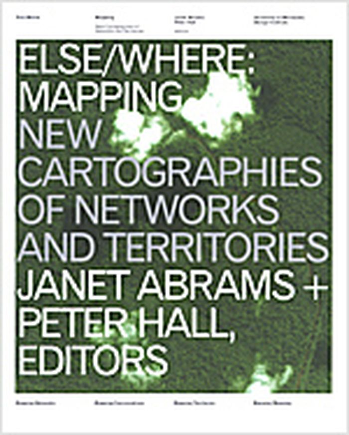
Else/where : mapping new cartographies of networks and territories
Actions:
Prix:
$59.99
(disponible sur commande)
Résumé:
Featuring 40 essays by U.S. and European historians, designers, cultural critics, geographers and social scientists, illustrated with over 250 color images in extensive visual "gazetteers" — including specially-commissioned portfolios by artists and designers — "Else/where mapping" investigates : how new technologies of navigation and location are emerging to chart "virtual" terrain such as social networks and online conversations; how these new mapping strategies borrow and reinvent metaphors adapted from the cartography of physical terrain, considered at various scales — urban, regional, continental, global ; how new modes of representation of spatial data are evolving to explore the potential for collective "bottom-up" (rather than "top-down") mapping ; how cities, communities and social networks are being re-envisioned, as artists and designers use technologies such as GPS, GIS and digital interface design to devise alternative mappings of social and spatial relationships. Authors : Janet Abrams, Ole Bouman, Andrea Codrington, Denis Cosgrove, Steve Dietz, Paul Elliman, Yuri Engelhardt, Peter Hall, Brian Holmes, J.J. King, Cathy Lang Ho, Andrea Moed, David Pescovitz, Rebecca Ross, Ben Schouten, Alex Terzich, Alice Twemlow, Dirk van Weelden, Tom Vanderbilt, Peter Walsh and Stephen Zacks. Featured artists and designers included : Antenna Design New York, Julian Bleecker, Bureau d'Etudes, Sulki Choi, Layla Curtis, Judith Donath, Entropy8Zuper!, Michael Frumin, Ben Fry, De Geuzen, govcom.org, Marti Guixe, Mark Hansen, Robert Horn, Natalie Jeremijenko, Lisa Jevbratt, Nina Katchadourian, Valdis Krebs, Laura Kurgan, Mark Lombardi, The London Particular, Lumeta.org, Barrett Lyon, Brian McGrath, Julie Mehretu, Paul Mijksenaar, Sigi Moeslinger, MUST Architects, MVRDV, Josh On, W. Bradford Paley, Scott Paterson, Esther Polak, Richard Rogers, Ben Rubin, Warren Sack, Mike Silver, Marco Susani, Terraswarm, UN Studio, Urban Tapestries, Waag Society for Old and New Media, Ronald Wall, Kimberlee Whaley, Jeremy Wood and Marina Zurkow. Book design : Deborah Littlejohn.
Classification:
livres
livres
Publication:
octobre 2005, Minneapolis
octobre 2005, Minneapolis
Classification:
livres
livres
Actions:
Exemplaires:
Description:
487 pages : illustrations (some color) ; 22 cm
Description:
487 pages : illustrations (some color) ; 22 cm
Auteur:
Sujet:
Publication:
[Milan-Italy] : Mousse Publishing ; [Warsaw, Poland] : U-jazdowski, [2019], ©2019
[Milan-Italy] : Mousse Publishing ; [Warsaw, Poland] : U-jazdowski, [2019], ©2019
Titre:
Plasticity of the planet : on environmental challenge for art and its institutions / publishing editor: Magdalena Ziółkowska.
Actions:
Exemplaires:
Description:
487 pages : illustrations (some color) ; 22 cm
Plasticity of the planet : on environmental challenge for art and its institutions / publishing editor: Magdalena Ziółkowska.
Actions:
Exemplaires:
Description:
487 pages : illustrations (some color) ; 22 cm
Classification:
livres
livres
Publication:
[Milan-Italy] : Mousse Publishing ; [Warsaw, Poland] : U-jazdowski, [2019], ©2019
[Milan-Italy] : Mousse Publishing ; [Warsaw, Poland] : U-jazdowski, [2019], ©2019
Auteur:
Sujet: