


Everyone Just Left
Photographs by an unknown photographer. Text by Margo Pfeiff
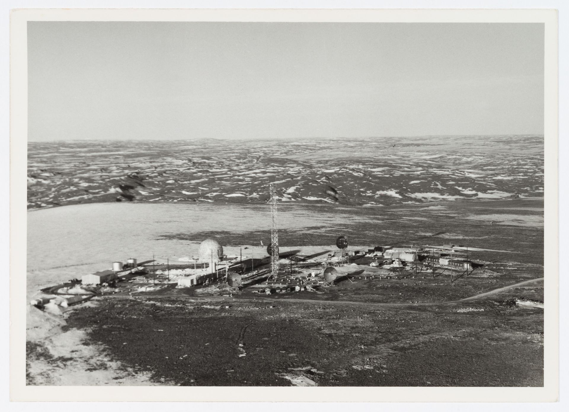
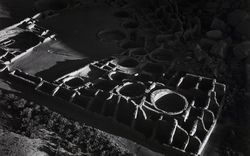
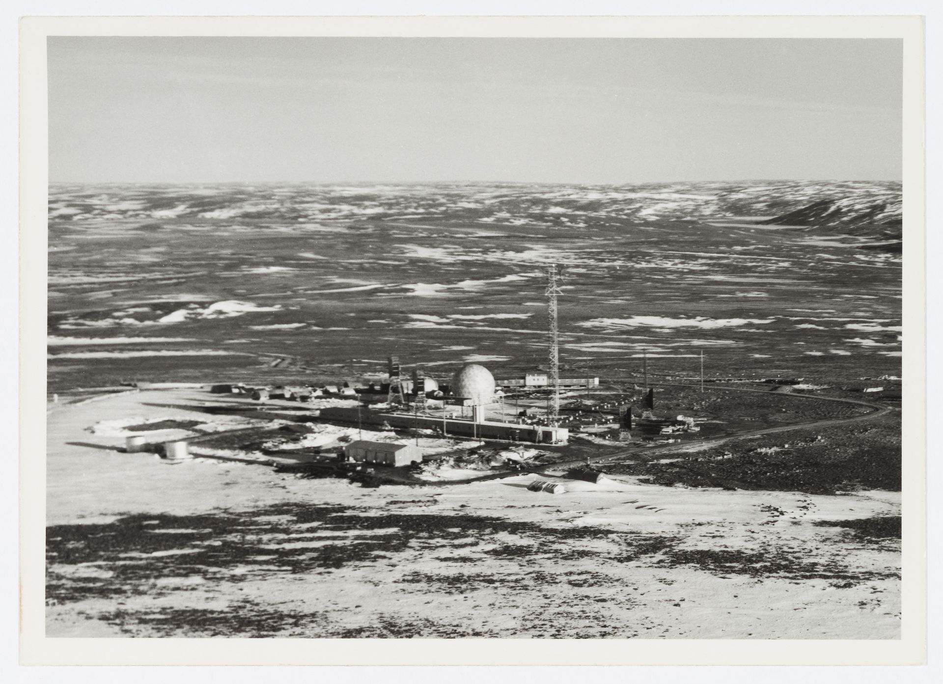
Unknown photographer. Aerial view of DEW Line radar station BAR-3, Tuktoyaktuk, Northwest Territories, Canada, circa 1960. CCA, PH2016:0004:001
Unknown photographer. Aerial view of DEW Line radar station DYE-Main, Cape Dyer, Nunavut, Canada, circa 1960. CCA, PH2016:0004:002
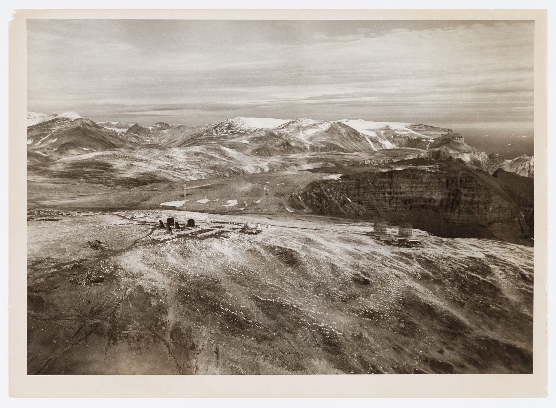
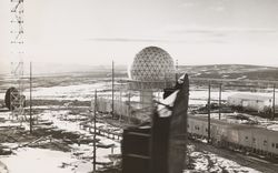
Unknown photographer. Aerial view of DEW Line radar station DYE-Main and DEW Drop troposcatter telecommunication system, Cape Dyer, Nunavut, Canada, circa 1960. CCA, PH2016:0004:004
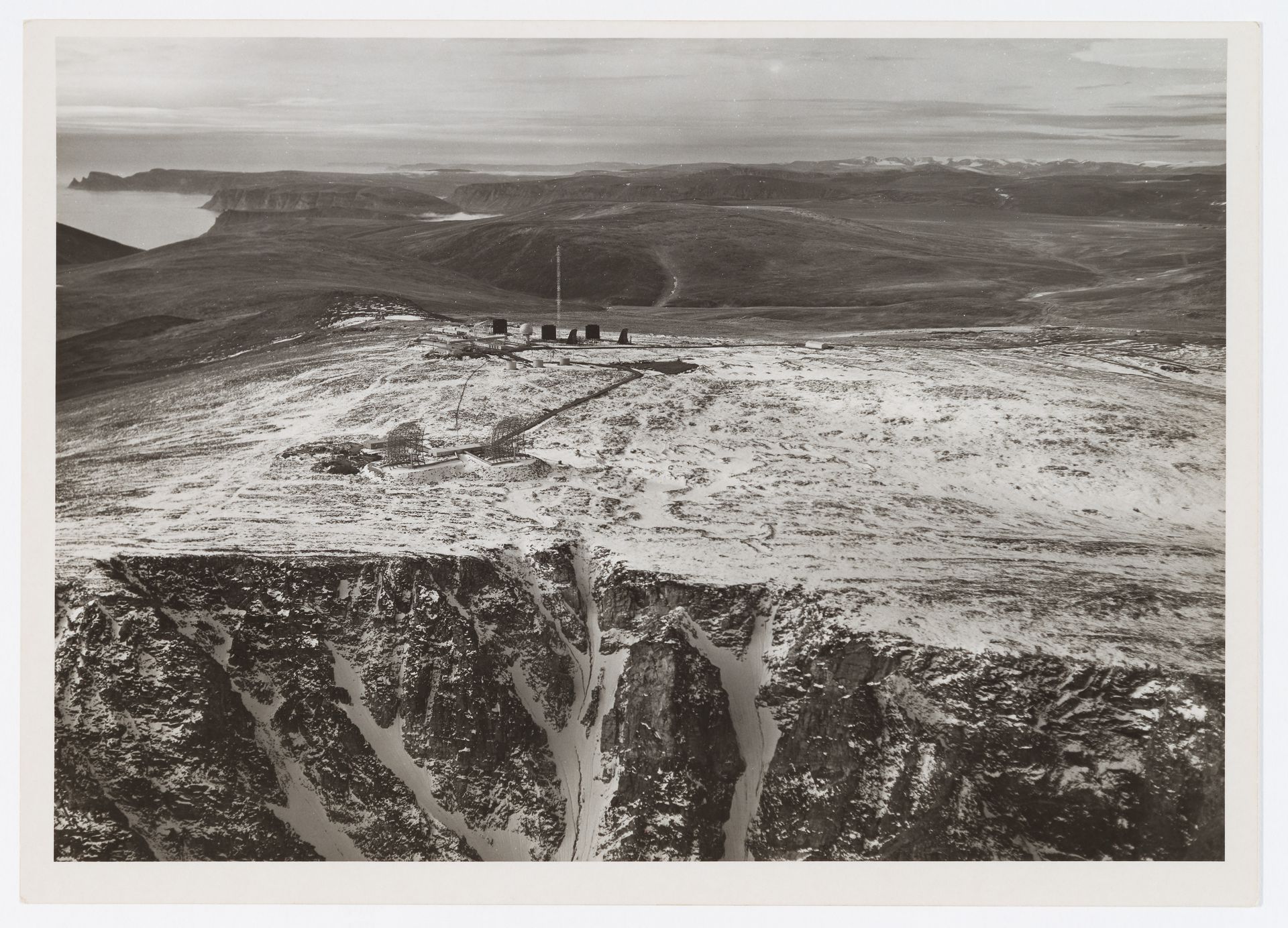
Unknown photographer. Aerial view of DEW Line radar station DYE-Main and DEW Drop troposcatter telecommunication system, Cape Dyer, Nunavut, Canada, circa 1960. CCA, PH2016:0004:005
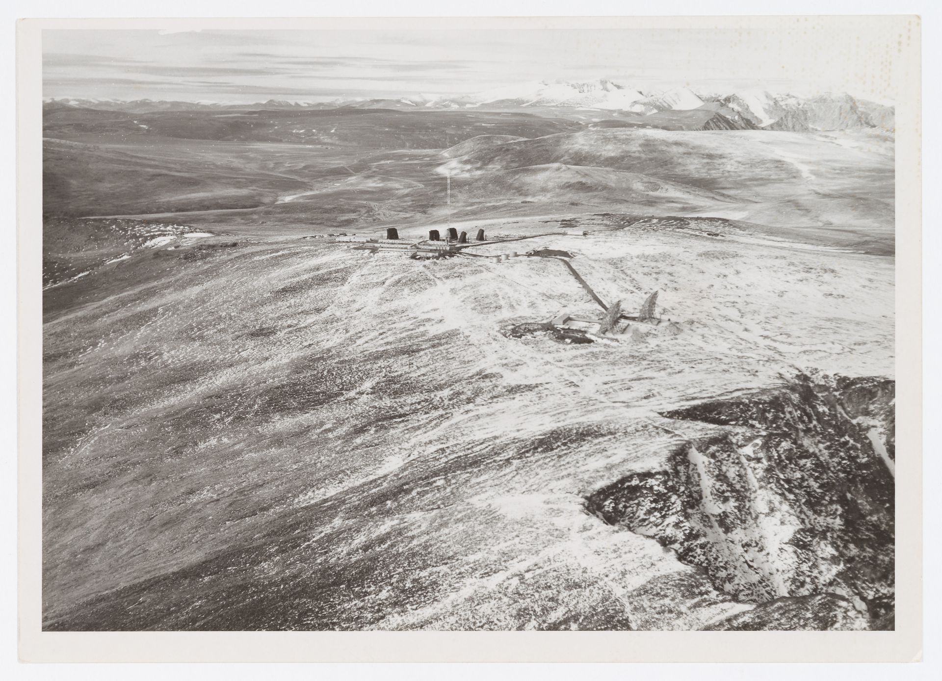
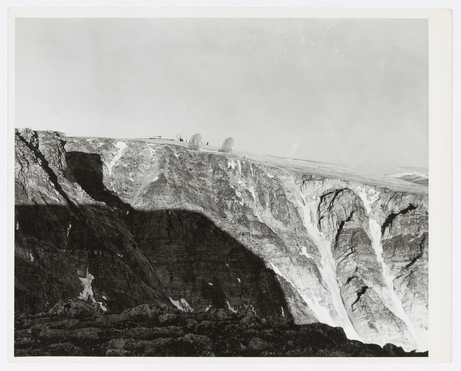
Unknown photographer. Aerial view of DEW Line radar station DYE-Main and DEW Drop troposcatter telecommunication system, Cape Dyer, Nunavut, Canada, circa 1960. CCA, PH2016:0004:006
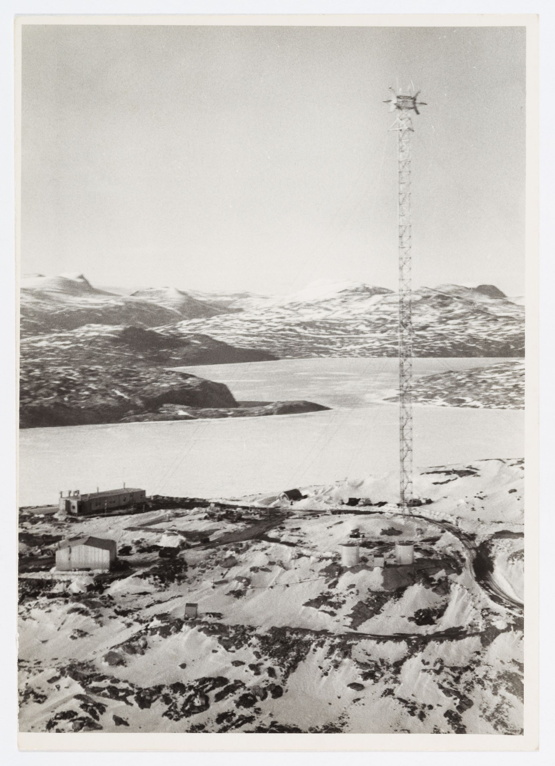
Unknown photographer. Aerial view of DEW Line radar station FOX-C, Ekalugad Fiord, Nunavut, Canada, circa 1960. CCA, PH2016:0004:007
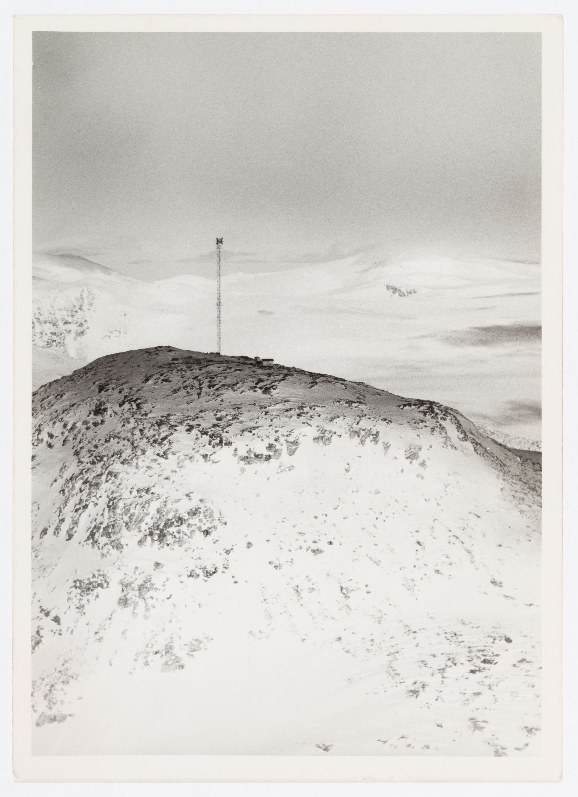
Unknown photographer. Aerial view of DEW Line radar station FOX-C, Ekalugad Fiord, Nunavut, Canada, circa 1960. CCA, PH2016:0004:009
Unknown photographer. View of DEW Line radar station BAR-3, Tuktoyaktuk, Northwest Territories, Canada, circa 1960. CCA, PH2016:0004:015
Unknown photographer. View of DEW Line radar station BAR-3, Tuktoyaktuk, Northwest Territories, Canada, circa 1960. CCA, PH2016:0004:016
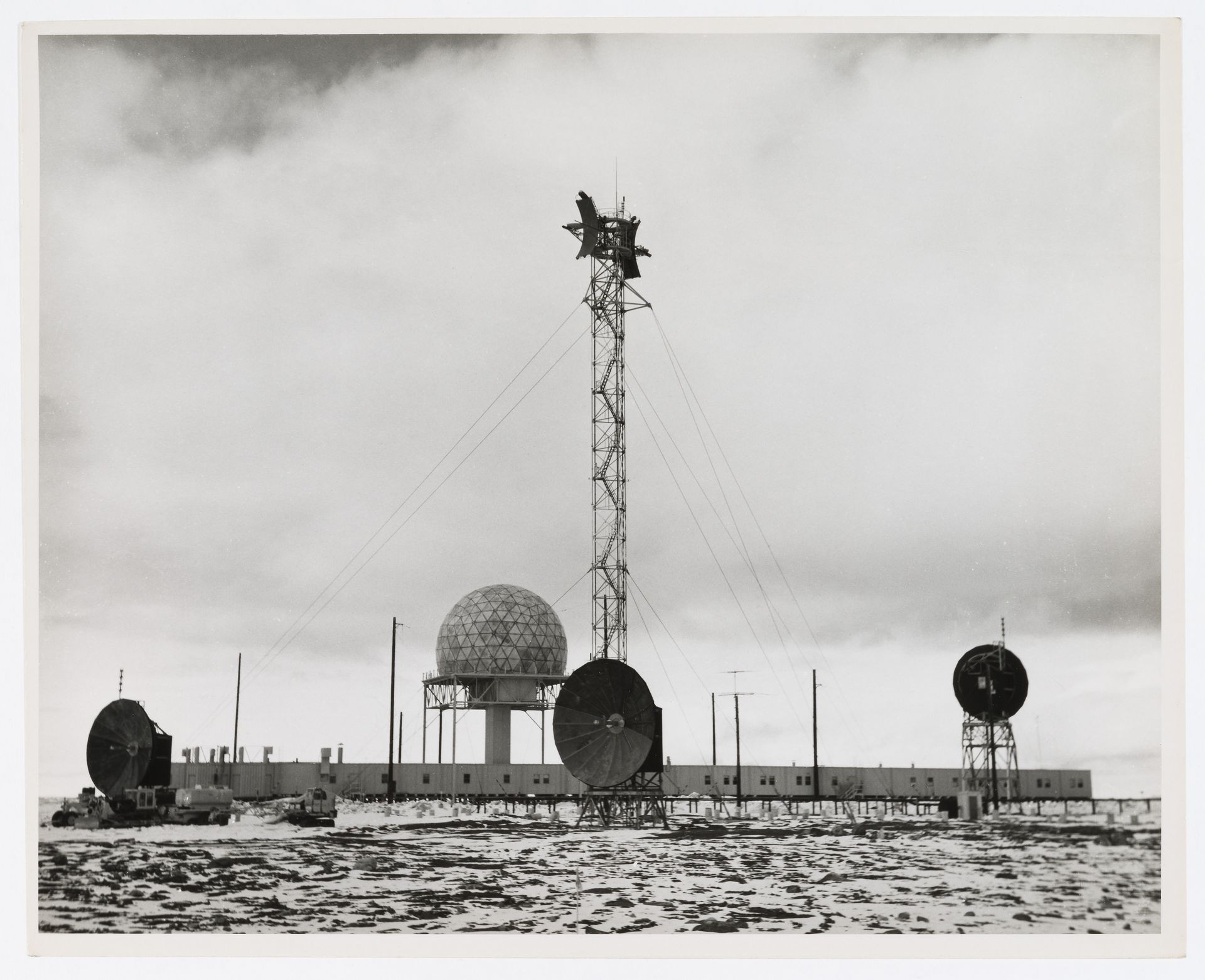
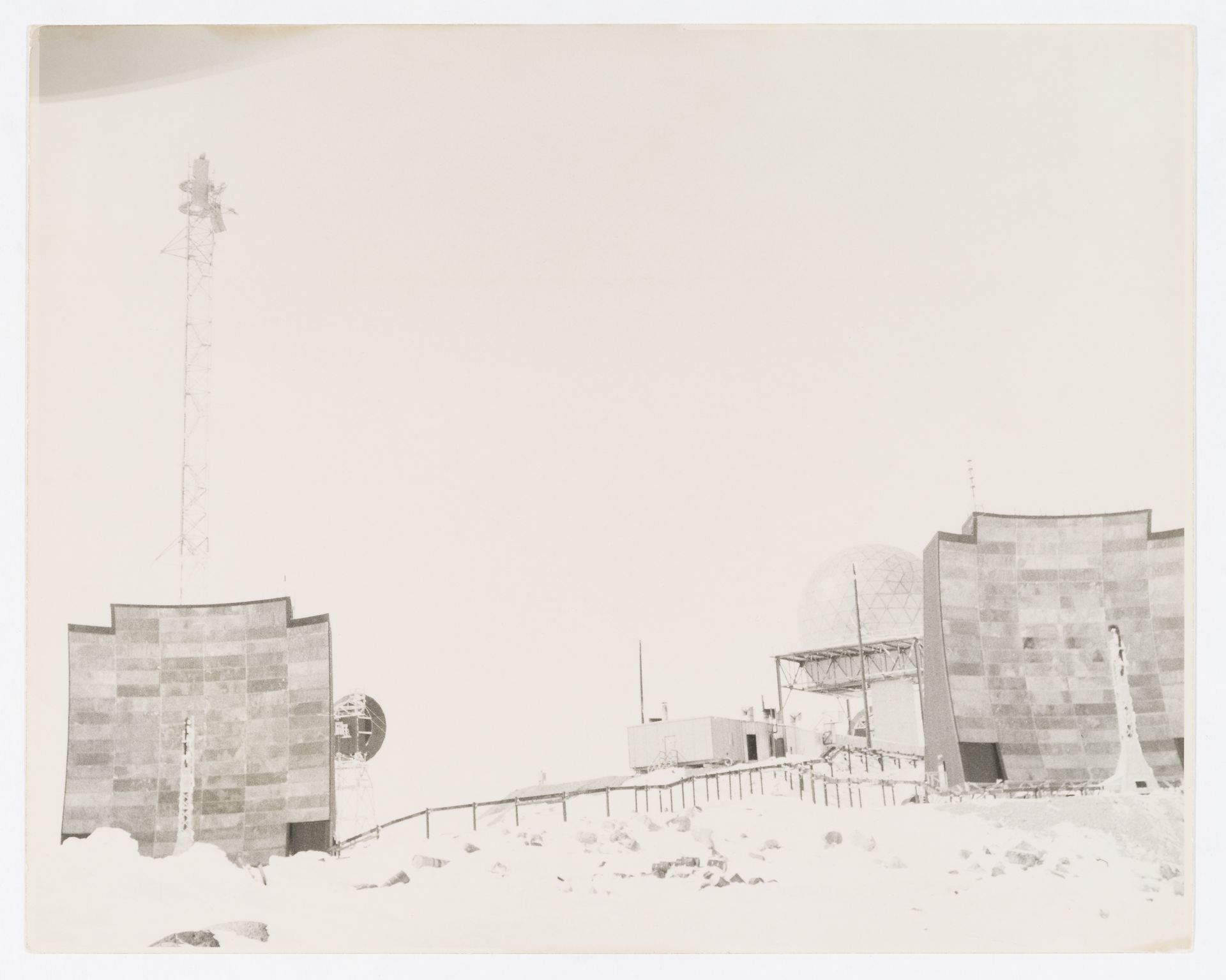
Unknown photographer. View of DEW Drop troposcatter telecommunication system and DEW Line radar station DYE-Main, Cape Dyer, Nunavut, Canada, circa 1960. CCA, PH2016:0004:018
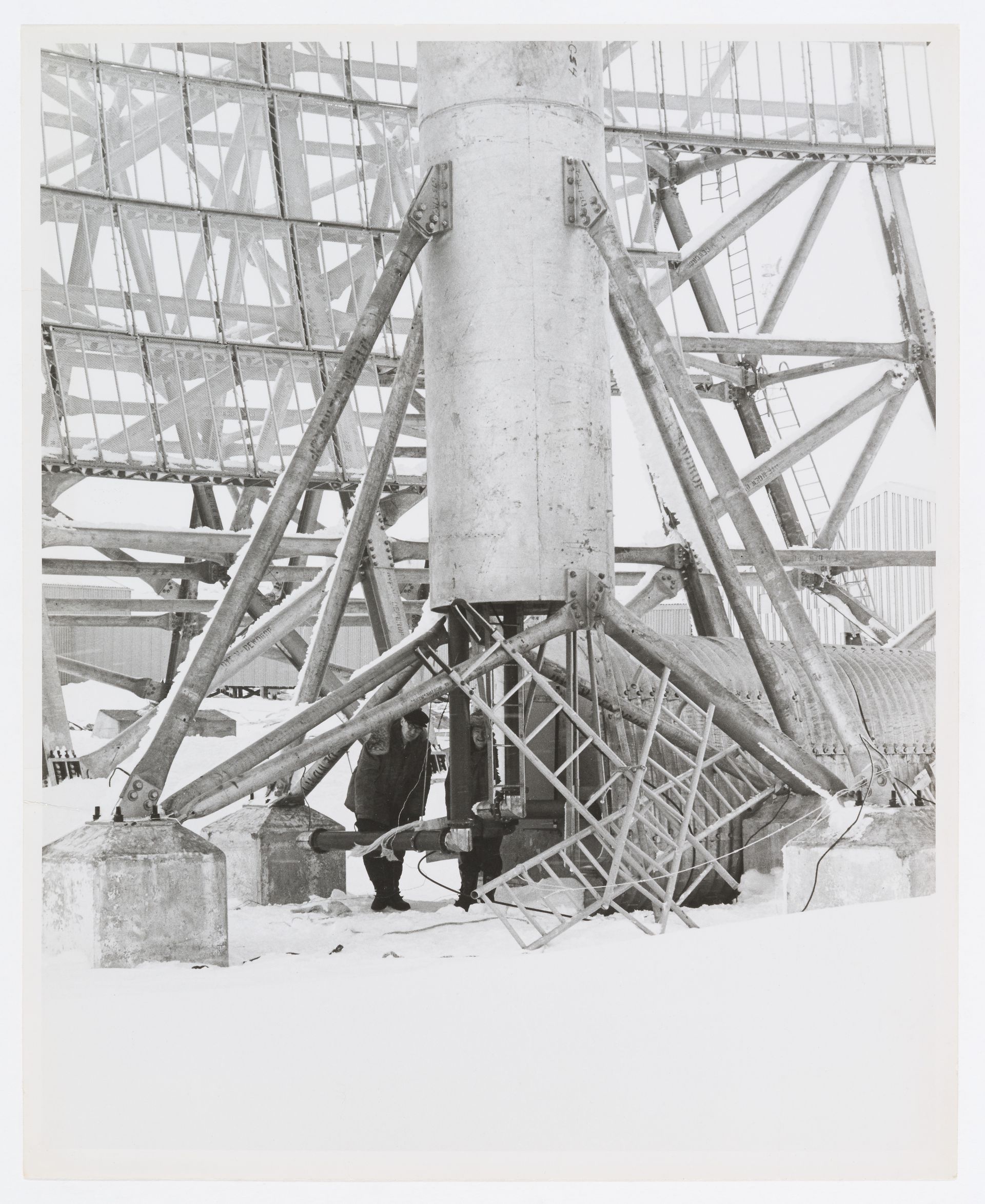
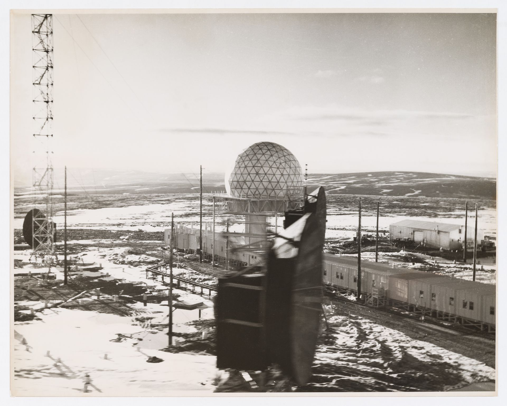
Unknown photographer. View of DEW Drop troposcatter telecommunication system, Cape Dyer, Nunavut, Canada, circa 1960. CCA, PH2016:0004:024
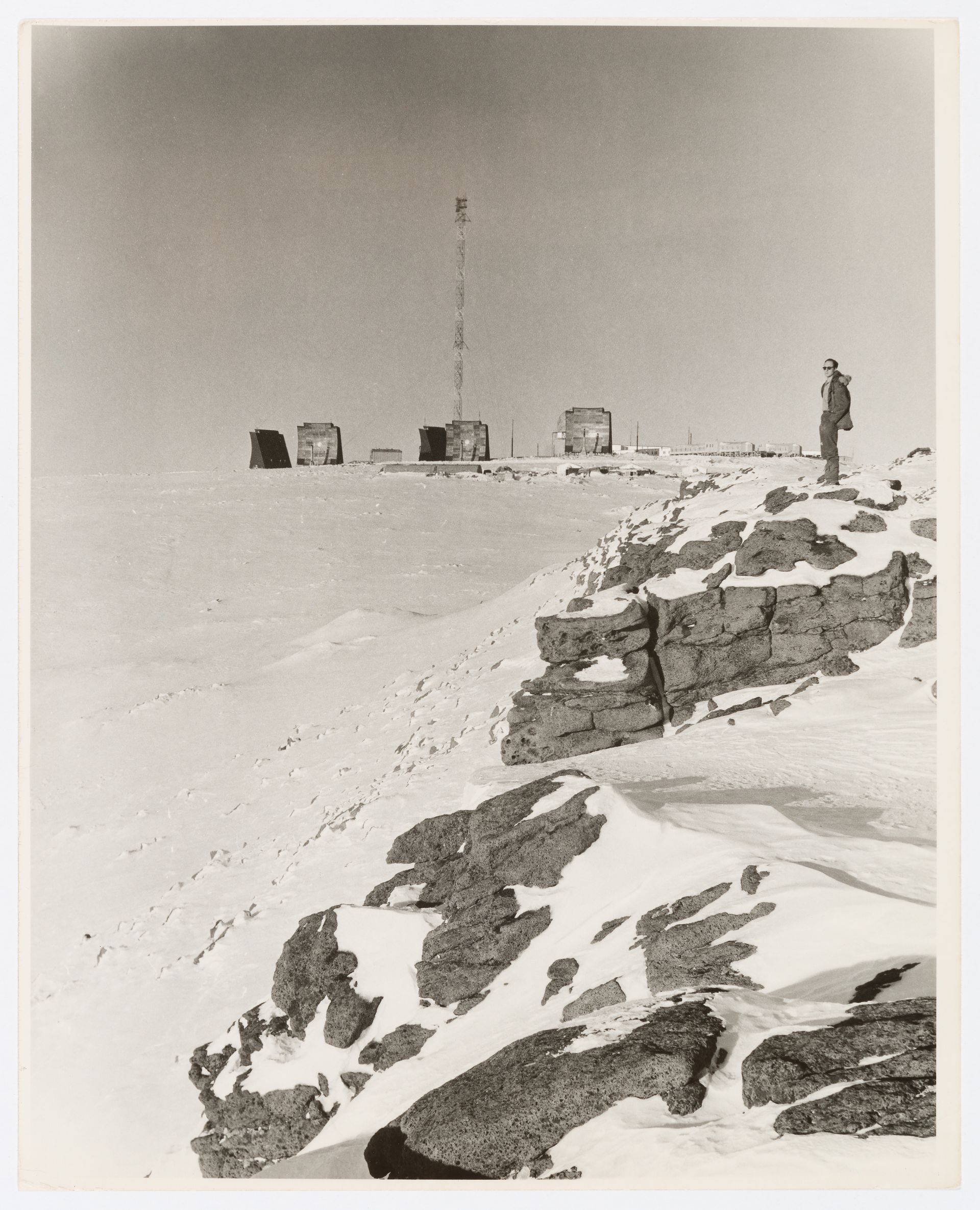
Unknown photographer. View of DEW Line radar station DYE-Main with standing person on the right, Cape Dyer, Nunavut, Canada, circa 1960. CCA, PH2016:0004:032
Unknown photographer. View of DEW Line radar station BAR-1, Komakuk Beach, Yukon, Canada, circa 1960. CCA, PH2016:0004:033
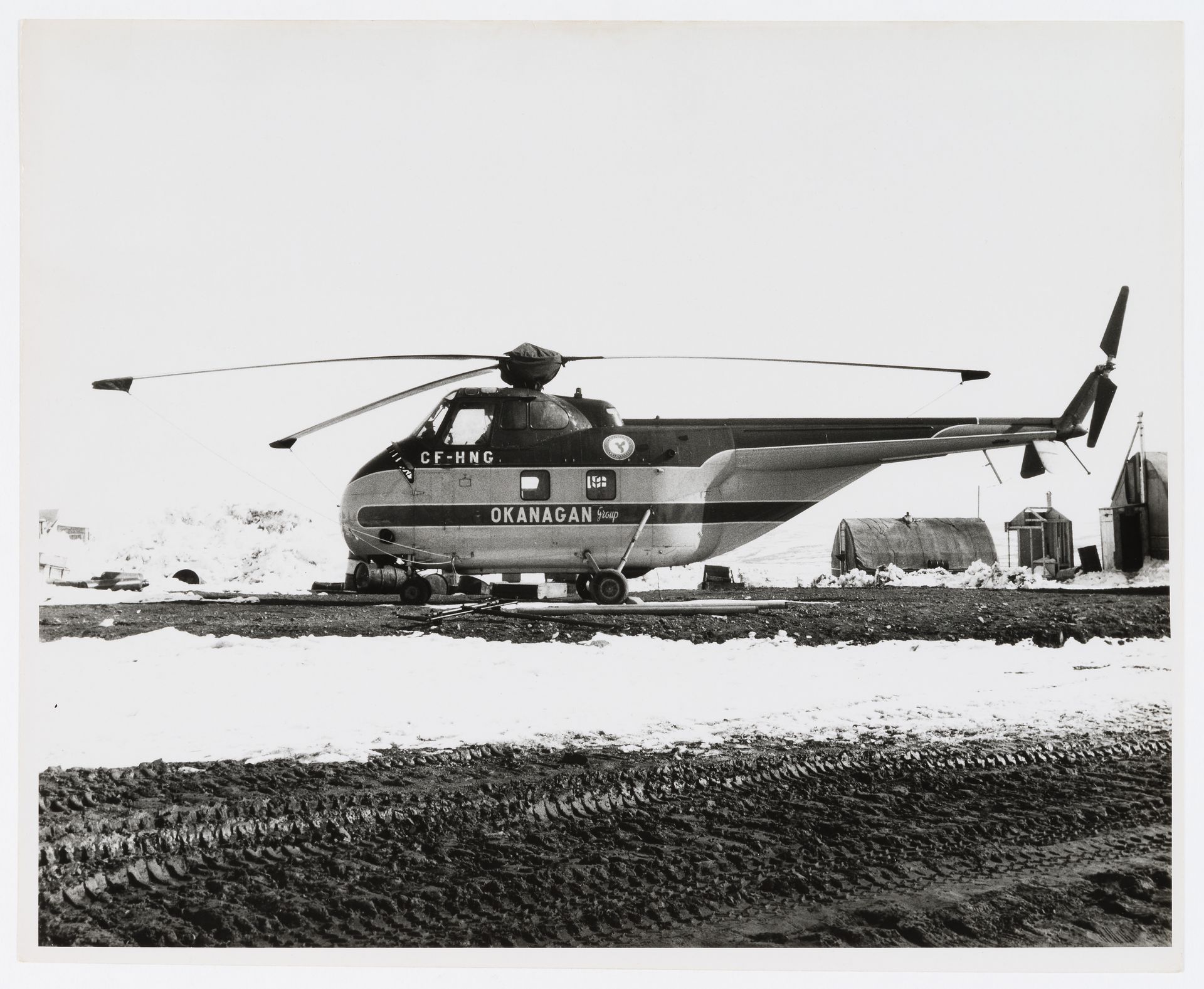
Unknown photographer. View of an Okanagan helicopter at DEW Line radar station FOX-3, Dewar Lakes, Nunavut, Canada, circa 1960. CCA, PH2016:0004:037
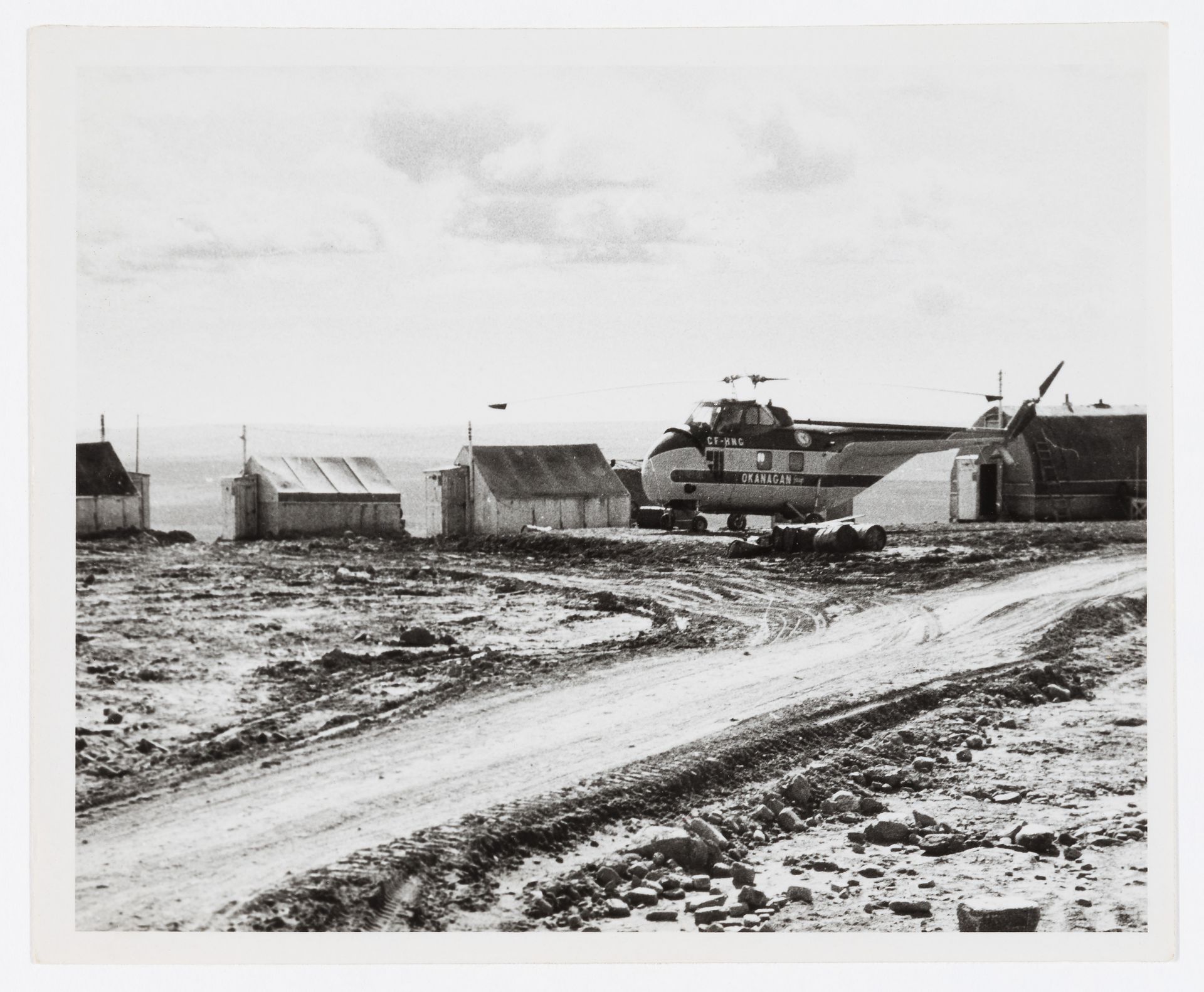
Unknown photographer. View of an Okanagan helicopter at DEW Line radar station FOX-3, Dewar Lakes, Nunavut, Canada, circa 1960. CCA, PH2016:0004:039
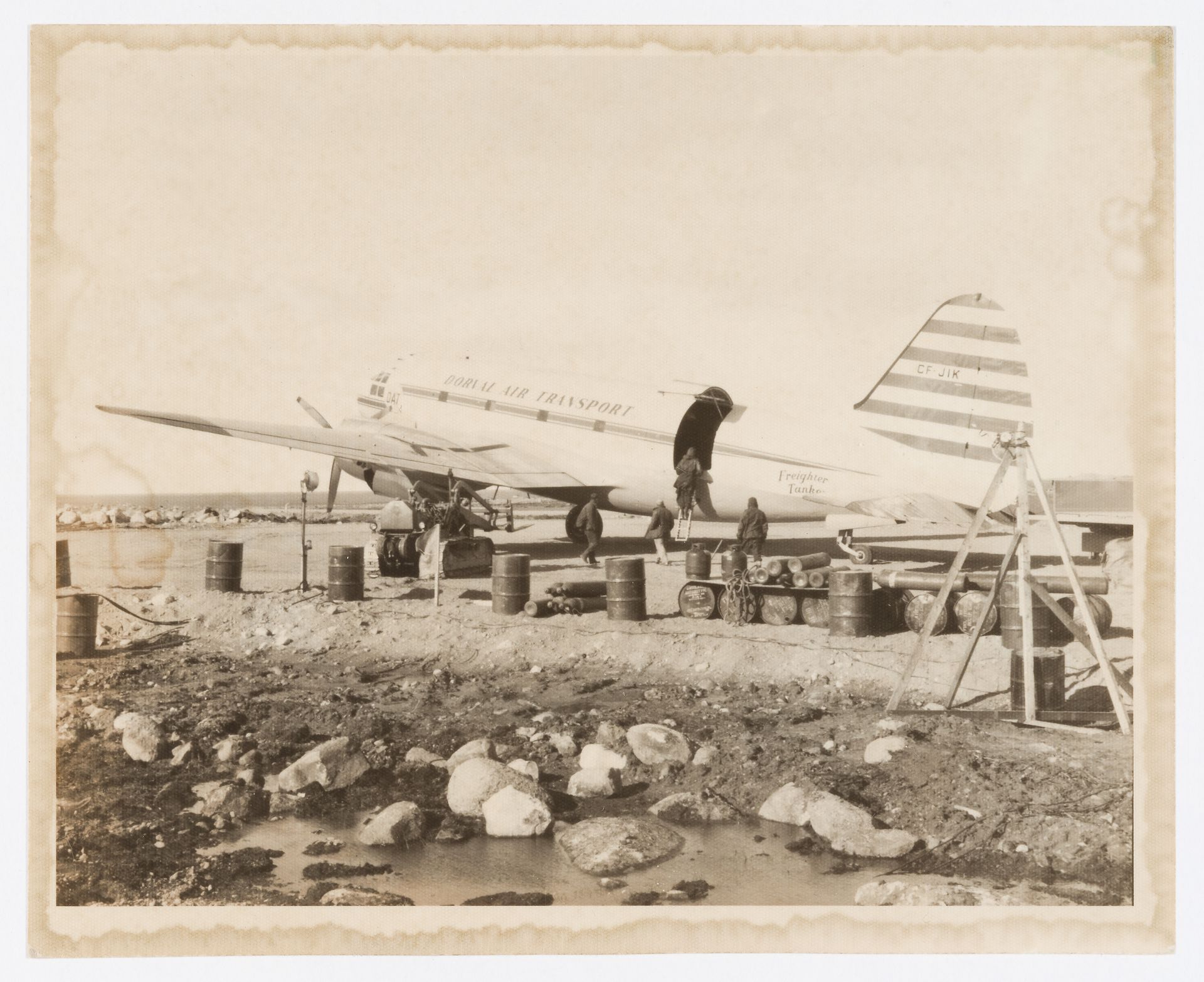
Unknown photographer. View of Dorval Air Transport plane at DEW Line radar station BAR-Main, Kaktovik, Alaska, United States, circa 1960. CCA, PH2016:0004:042
During the Cold War the United States feared a Russian invasion of North America over the top of the globe and so, in the early 1950s and with the help of engineers from the Massachusetts Institute of Technology, the US military planned and funded a line of sixty-three radar installations from Western Alaska across Canada to Greenland and Iceland, roughly following the sixty-ninth parallel, three hundred kilometres north of the Arctic Circle. The five-thousand- kilometre-long Distant Early Warning (DEW) Line would be a radar fence to detect Soviet bombers and missiles, providing early warning of invasion.
At the time construction began in December 1954, Canada’s far North was the expansive domain of First Nations people, including nomadic Inuit, and hosted just a handful of isolated Hudson’s Bay Company and Royal Canadian Mounted Police posts. Resourceful coastal people, Inuit across what is now the territory of Nunavut were drawn to the construction project with an eye to trading food for goods, just as they had done earlier with whalers and sealers. Some even took jobs as part of a twenty-five-thousand-strong crew that worked around the clock during the very short summers and in complete darkness during the brutal winters, when the temperature went below minus forty degrees Celsius.
The joint US and Canadian operation was one of the biggest engineering projects ever undertaken; it moved more than 460,000 tonnes of material by air, land, and water transport to one of the planet’s most remote regions. The United States agreed to pay for and construct the line, employing Canadian labour as much as possible. On 31 July 1957, just two years and eight months after the shovels first hit the tundra, the DEW Line was up and running. Forty-two of the sites, the majority of the line, were on Canadian soil. The biggest, built on eight thousand hectares of treeless tundra, was DYE-MAIN at Cape Dyer.
By the early 1960s, however, the development of satellites and submarine-launched cruise missiles had rendered many DEW Line bases obsolete. In 1963, half the Canadian sites were shut down and handed over to the Department of Indian and Native Affairs. Most of the remaining sites continued monitoring for Russian activity until 1989, when the entire DEW Line was officially decommissioned and turned over to Canada’s Department of National Defence. Its replacement was the largely unmanned North Warning System, another joint US and Canadian military venture, which was built at existing DEW Line sites and came online in 1993. The system continues to operate today.
As the Canadian bases were shuttered, military personnel, scientists, and engineers began looking at what had been left behind. Greg Johnson, an engineer who would later become project director of an Inuit-owned environmental remediation firm, remembers visiting Resolution Island’s base, which had been abandoned in 1973, in the late 1980s. “It was surreal. There were still lunch trays with meals on the plates in the cafeteria, sheets on the beds, and personal items everywhere,” he says. “It’s like they had five minutes to get on the plane and everyone just left.”1
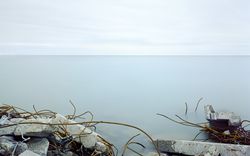
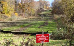
And they did not leave only dirty laundry. In a vast arc across Arctic Canada, convoys of construction equipment had been driven onto the sea ice and left to plummet into the ocean with the spring thaw. Buildings, radar facilities, generators, and hundreds of thousands of rusting fuel drums were abandoned, soaking the soil with hydrocarbons, lead, mercury, asbestos, antifreeze, and other chemicals, including polychlorinated biphenyls (PCBs).2
-
Quotations from interview or other communication with the author. ↩
-
Polychlorinated biphenyls were used in electrical equipment, inks, adhesives, flame retardants, and paints until they were phased out in the 1970s, as their health risks became known. They cause liver damage and reproductive problems and are carcinogenic. ↩
Several photographs from this set, which we received as a donation in 2016, appear in the exhibition It’s All Happening So Fast. The text is excerpted from a longer essay published in a book of the same title, which presents case studies underlining Canada’s complicated relationship with its natural environment. In addition to explaining more about the project to remediate areas polluted by the DEW Line, Pfeiff’s piece includes her own photographs of the sites.